Broxted Hill
Hill, Mountain in Essex Uttlesford
England
Broxted Hill

Broxted Hill is a prominent geographical feature located in the county of Essex in England. Situated near the village of Broxted, it is a significant hill that forms part of the undulating landscape of the region. While not categorized as a mountain due to its height, it still holds considerable prominence in the area.
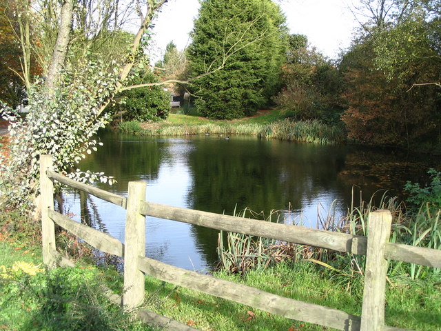
Rising to an elevation of approximately 110 meters (360 feet) above sea level, Broxted Hill offers panoramic views of the surrounding countryside. Covered in lush greenery and dotted with trees, the hill provides a picturesque sight for both locals and visitors alike.
The hill is known for its gentle slopes, making it accessible to hikers and walkers of all abilities. Its well-maintained footpaths and trails allow outdoor enthusiasts to explore the area and enjoy the natural beauty it offers. The summit of Broxted Hill provides an ideal spot for picnics or simply taking a moment to appreciate the breathtaking vistas.
The hill is also home to a diverse range of flora and fauna, with various species of plants and animals thriving in its ecosystem. Birdwatchers will find the area particularly appealing, as it attracts a wide variety of avian species throughout the year.
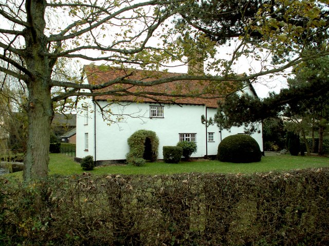
Broxted Hill is not only a natural landmark but also holds cultural significance for the local community. It has been a part of the region's history for centuries, with archaeological evidence suggesting human activity in the area dating back to the Roman period.
In conclusion, Broxted Hill in Essex is a captivating hill that offers stunning views, recreational opportunities, and a glimpse into the region's rich history.
If you have any feedback on the listing, please let us know in the comments section below.
Broxted Hill Images
Images are sourced within 2km of 51.939738/0.29428947 or Grid Reference TL5729. Thanks to Geograph Open Source API. All images are credited.


Broxted Hill is located at Grid Ref: TL5729 (Lat: 51.939738, Lng: 0.29428947)
Administrative County: Essex
District: Uttlesford
Police Authority: Essex
What 3 Words
///frightens.lucky.chainsaw. Near Thaxted, Essex
Nearby Locations
Related Wikis
Cherry Green, Essex
Cherry Green or Chaureth Green is a hamlet in the civil parish of Broxted and the Uttlesford district of Essex, England. The hamlet is 1.5 miles (2.4 km...

Horham Hall
Horham Hall may refer to the timber-framed late mediaeval hall in Thaxted, England, or to the brick hall built in its place by Sir John Cutte (died 1520...

St Mary's Church, Chickney
St Mary's Church is a redundant Anglican church in the parish of Chickney, Essex, England. It is recorded in the National Heritage List for England as...

Elsenham & Thaxted Light Railway
The Elsenham & Thaxted Light Railway was a 5+1⁄2-mile (9 km) long light railway in Essex, England. The line was sanctioned in 1906, although did not finally...

Sibleys railway station
Sibleys railway station was a station in Sibleys Green, in the civil parish of Chickney, Essex. It was located 2 miles 78 chains (4.79 km) from Elsenham...
Chickney
Chickney is a village and civil parish near Broxted and southwest of Thaxted, in Uttlesford, Essex, England. The parish borders Broxted, Debden, Henham...
Cutlers Green Halt railway station
Cutlers Green Halt railway station was a station serving the hamlet of Cutlers Green, Essex. It was located 4 miles 52 chains (7.48 km) from Elsenham station...
Hamperden End
Hamperden End is a hamlet in the civil parish of Debden, in the Uttlesford district, in the county of Essex, England. Debden Green is north east and Widdington...
Have you been to Broxted Hill?
Leave your review of Broxted Hill below (or comments, questions and feedback).