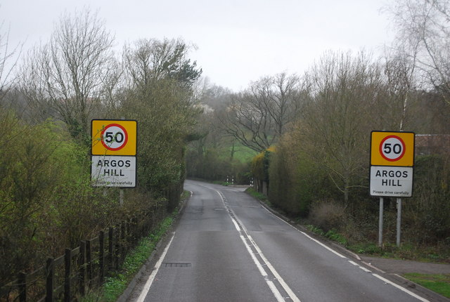
Argos Hill
Hill, Mountain in Sussex Wealden
England
Argos Hill
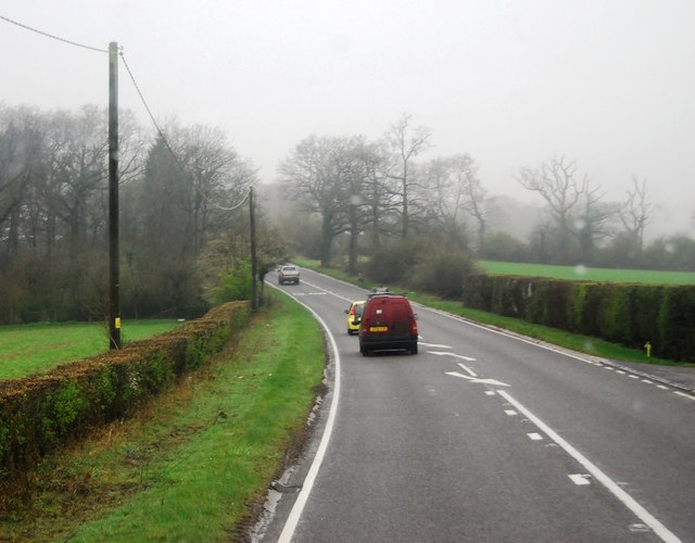
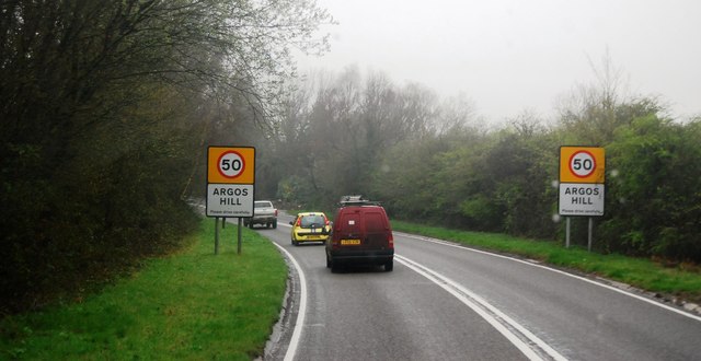
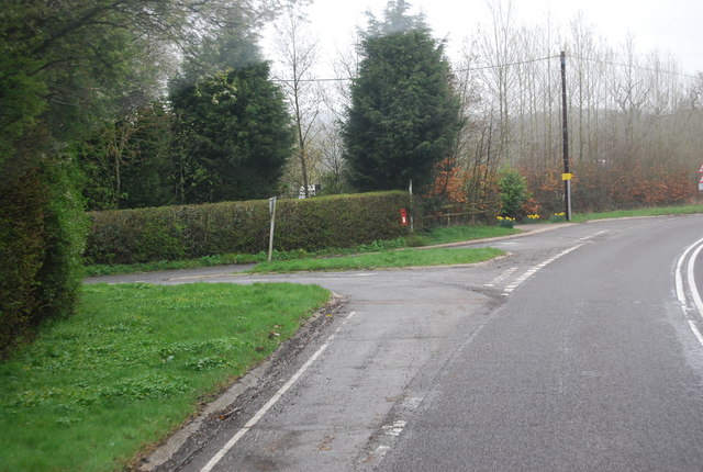
Argos Hill is a small village located in the Sussex Weald, a hilly and wooded area in the county of East Sussex, England. Situated about 4 miles south of the town of Heathfield, Argos Hill is known for its picturesque landscape and rural charm.
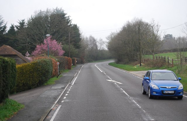
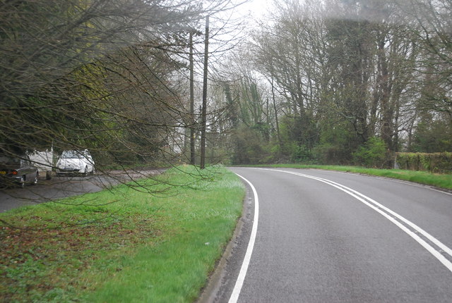
The village is nestled on a gentle slope, offering panoramic views of the surrounding countryside. Although not technically classified as a hill or mountain, the area is characterized by undulating terrain and rolling hills, making it a popular destination for walkers, hikers, and nature enthusiasts.
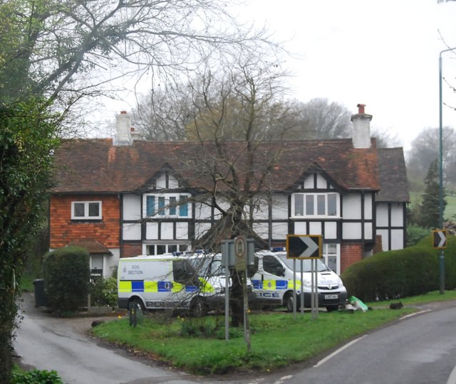
Argos Hill is primarily a residential area, with a small number of houses and cottages scattered across the countryside. The village is characterized by its tranquil atmosphere, with little commercial activity or amenities within its boundaries. However, the nearby town of Heathfield provides a range of services and facilities for residents and visitors.
The village is also notable for its proximity to several landmarks and attractions. Just a short drive away is the beautiful Ashdown Forest, a large heathland area that inspired the setting of A.A. Milne's Winnie the Pooh stories. Additionally, the historic town of Battle, famous for the Battle of Hastings in 1066, is within easy reach.
Argos Hill offers a peaceful and idyllic setting, perfect for those seeking a retreat from the hustle and bustle of city life. Its natural beauty and rural charm make it a popular destination for outdoor enthusiasts and those looking to explore the stunning Sussex countryside.
If you have any feedback on the listing, please let us know in the comments section below.
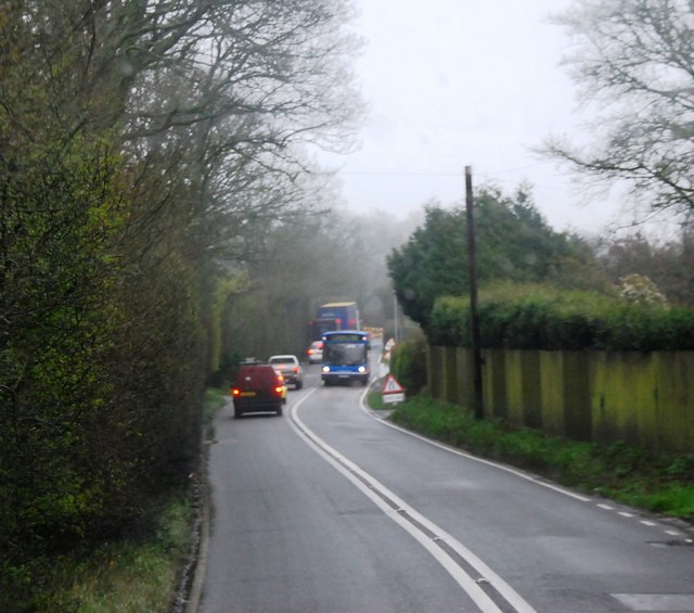
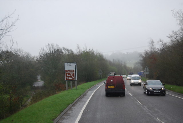
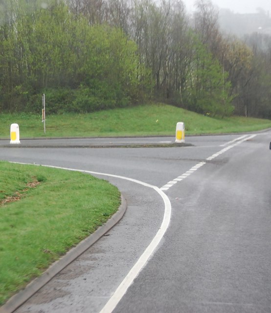
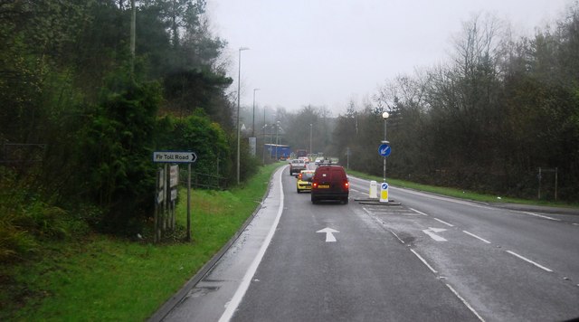
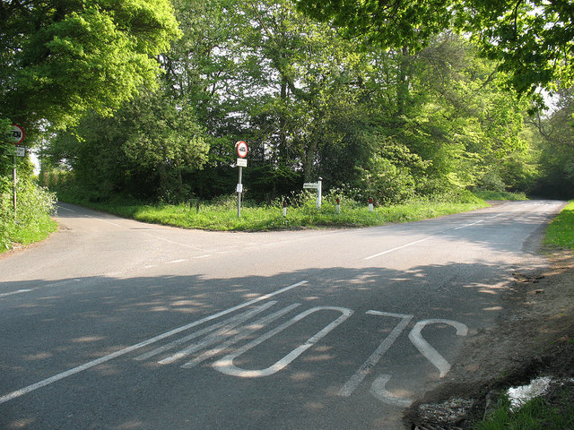
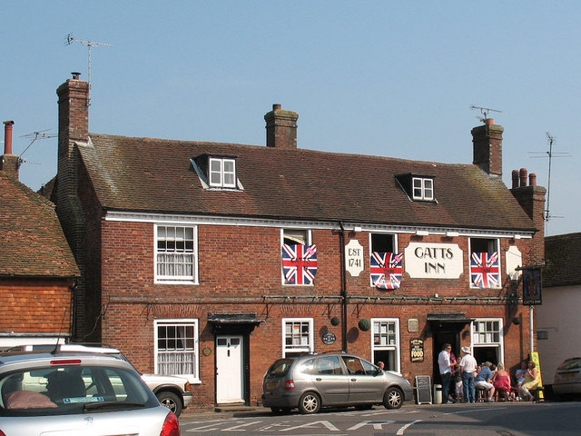
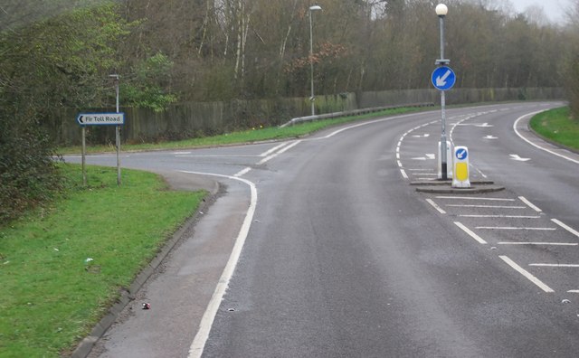
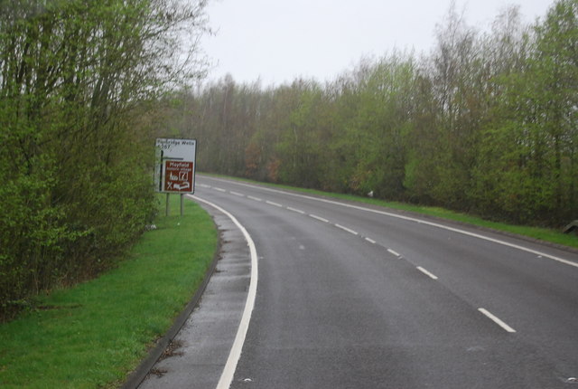
Argos Hill Images
Images are sourced within 2km of 51.032753/0.23796141 or Grid Reference TQ5728. Thanks to Geograph Open Source API. All images are credited.

Argos Hill is located at Grid Ref: TQ5728 (Lat: 51.032753, Lng: 0.23796141)
Administrative County: East Sussex
District: Wealden
Police Authority: Sussex
What 3 Words
///roost.coffee.drainage. Near Town Row, East Sussex
Nearby Locations
Related Wikis

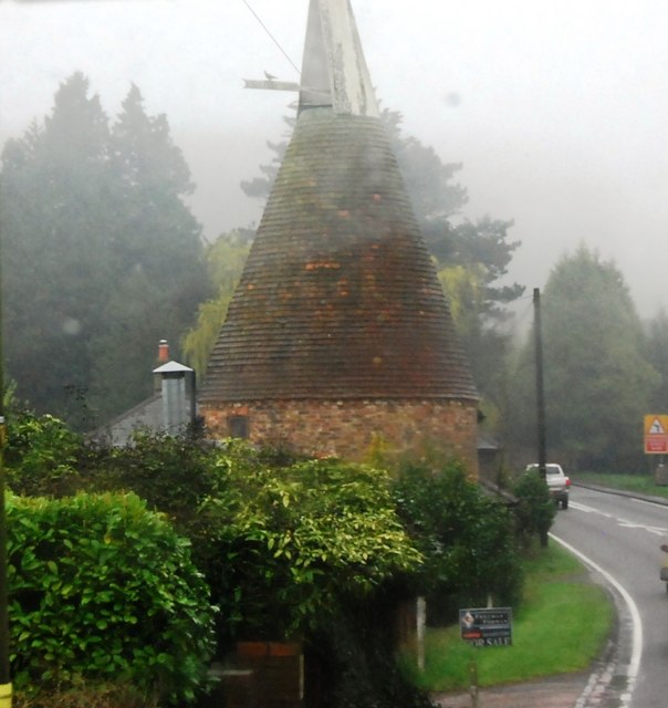
Argos Hill Mill, Mayfield
Argos Hill Mill is a grade II* listed post mill at Argos Hill, Mayfield, East Sussex, England As of 2017 it is in the process of restoration by the Argos...

Mayfield railway station
Mayfield was a railway station on the now closed Eridge to Polegate cross country line (the Cuckoo Line). It was built by London, Brighton and South Coast...

Rotherfield
Rotherfield is a village and civil parish in the Wealden District of East Sussex, England. It is one of the largest parishes in East Sussex. There are...

Rotherfield and Mark Cross railway station
Rotherfield and Mark Cross (also Rotherfield) is the name of a closed station on the Eridge - Heathfield - Polegate railway (the Cuckoo Line) in East Sussex...
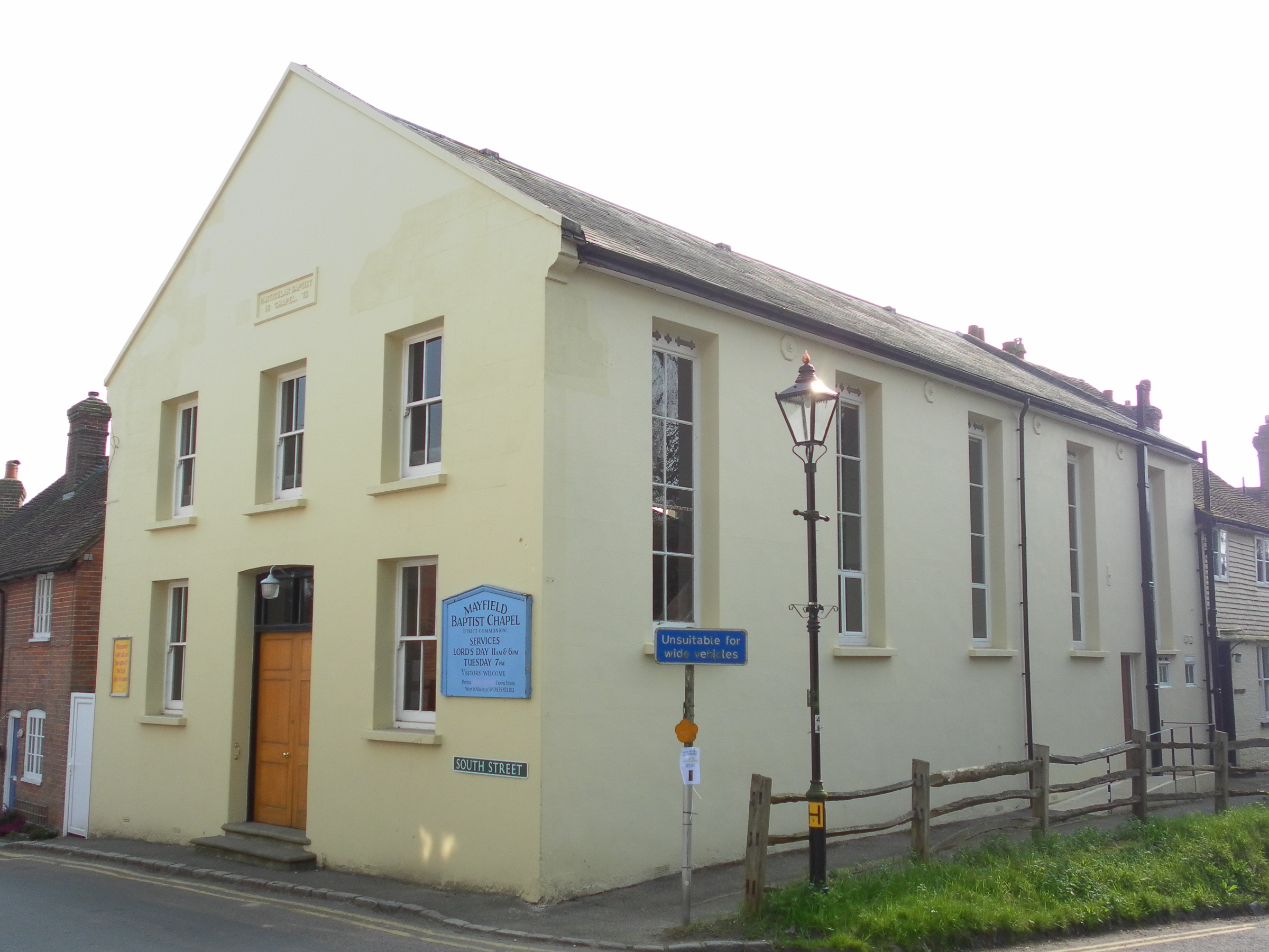
Mayfield Baptist Chapel
Mayfield Baptist Chapel, also known as Mayfield Strict Baptist Chapel, is a place of worship for Gospel Standard Strict Baptists in the village of Mayfield...
Mayfield School, East Sussex
Mayfield School, previously St Leonards-Mayfield School, is an independent Catholic boarding and day school for girls aged 11 to 18. It is in the village...
Mayfield and Five Ashes
Mayfield and Five Ashes is a civil parish in the High Weald of East Sussex, England. The two villages making up the principal part of the parish lie on...

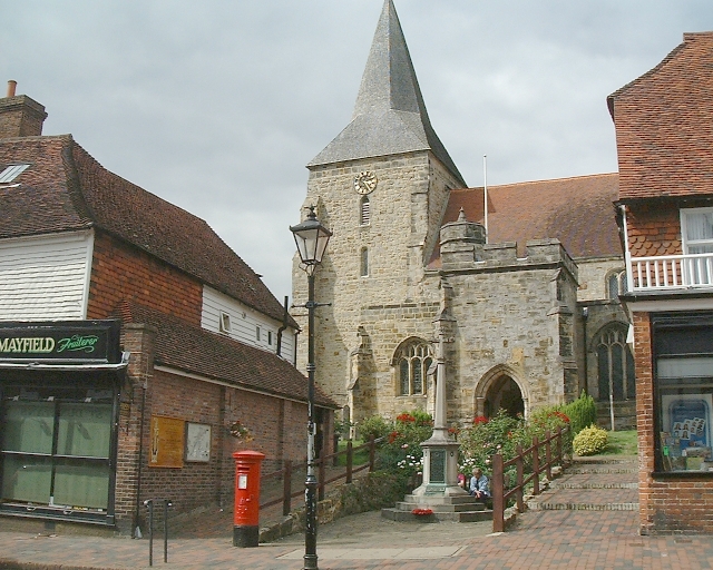
St Dunstan's Church, Mayfield
St Dunstan's, Mayfield in Mayfield, East Sussex was founded in 960 CE by St Dunstan, who was then Archbishop of Canterbury. It is reported as being originally...
Nearby Amenities
Located within 500m of 51.032753,0.23796141Have you been to Argos Hill?
Leave your review of Argos Hill below (or comments, questions and feedback).