Quanea Hill
Hill, Mountain in Cambridgeshire East Cambridgeshire
England
Quanea Hill

Quanea Hill is a small hill located in the county of Cambridgeshire, England. It is situated near the village of Quanea, which lies approximately 10 kilometers south of the city of Cambridge. Despite its modest elevation, Quanea Hill is recognized as the highest point in the entire county, standing at an impressive height of 146 meters (479 feet) above sea level.
The hill is part of the undulating landscape that characterizes the region, with its slopes covered in lush greenery and dotted with clusters of trees. Quanea Hill offers panoramic views of the surrounding countryside, showcasing the picturesque Cambridgeshire farmlands, meandering rivers, and charming villages in the distance.
The hill itself is accessible to the public, with several walking trails leading up to its summit. These paths provide a pleasant and peaceful experience for hikers and nature enthusiasts, allowing them to immerse themselves in the tranquility of the area. The hill's location also makes it a popular spot for photographers, who flock to capture the stunning vistas that unfold from its peak.
Quanea Hill holds historical significance, as it is believed to have been formed during the last Ice Age, when glaciers shaped the landscape of the region. It has also been a site of archaeological interest, with excavations revealing traces of human activity dating back to the Bronze Age.
Overall, Quanea Hill is a cherished natural landmark in Cambridgeshire, offering not only captivating views but also a connection to the area's geological and historical heritage.
If you have any feedback on the listing, please let us know in the comments section below.
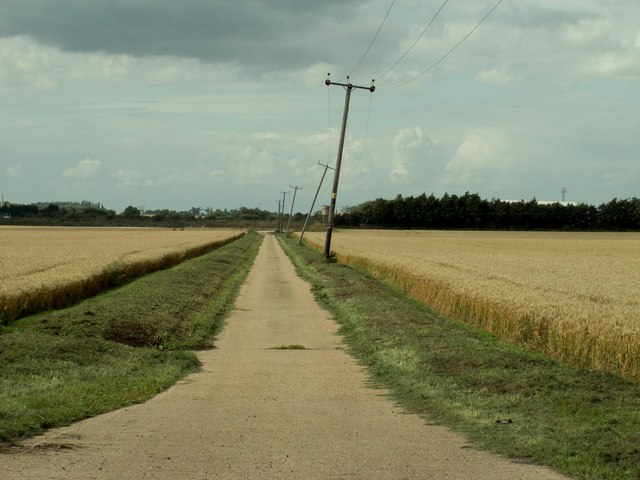
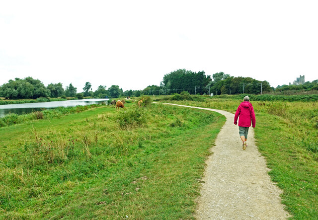
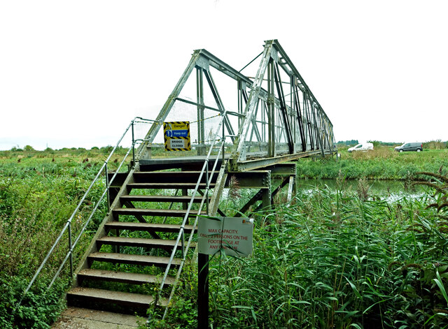
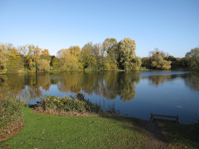
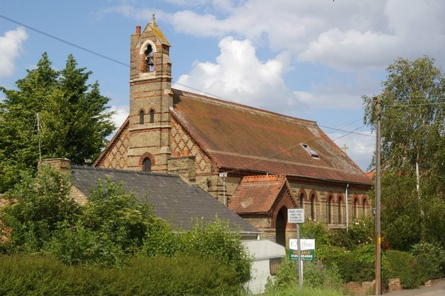
Quanea Hill Images
Images are sourced within 2km of 52.39323/0.30970194 or Grid Reference TL5779. Thanks to Geograph Open Source API. All images are credited.


Quanea Hill is located at Grid Ref: TL5779 (Lat: 52.39323, Lng: 0.30970194)
Division: Isle of Ely
Administrative County: Cambridgeshire
District: East Cambridgeshire
Police Authority: Cambridgeshire
What 3 Words
///playoffs.groomed.tangent. Near Ely, Cambridgeshire
Nearby Locations
Related Wikis

East Cambridgeshire
East Cambridgeshire (locally known as East Cambs) is a local government district in Cambridgeshire, England. Its council is based in the city of Ely. The...

Isle of Ely Rowing Club
Isle of Ely Rowing Club is a rowing club on the River Great Ouse based at Kiln Lane, Prickwillow Road, Ely, Cambridgeshire.The club was founded in 2004...
Ely Pits and Meadows
Ely Pits and Meadows is an 85.8-hectare (212-acre) Site of Special Scientific Interest (SSSI) on the eastern outskirts of Ely in Cambridgeshire. It is...

Roswell Pits
Roswell Pits is an 8 hectare nature reserve on the eastern outskirts of Ely in Cambridgeshire. It is managed by the Environment Agency. It is part of the...
Queen Adelaide, Cambridgeshire
Queen Adelaide is a hamlet on the River Great Ouse in the Fens about 1+1⁄2 miles (2.4 km) northeast of Ely, Cambridgeshire, England. The hamlet is named...
The Boat Race 2021
The Boat Race 2021 was an event comprising two side-by-side rowing races that took place on 4 April 2021. The Boat Race is contested annually between crews...

Railways in Ely
The Railways in Ely are an important interchange point between several routes in England. There are junctions north and south of the city where rail routes...
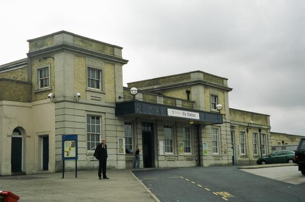
Ely railway station
Ely railway station is on the Fen line in the east of England, serving the cathedral city of Ely, Cambridgeshire. It is 70 miles 30 chains (113.3 km) from...
Nearby Amenities
Located within 500m of 52.39323,0.30970194Have you been to Quanea Hill?
Leave your review of Quanea Hill below (or comments, questions and feedback).