Shingle Hill

Hill, Mountain in Kent Sevenoaks

England

Shingle Hill

The Ightham Mote 'Green Walk' at Wilmot Cottage Wilmot Cottage was formerly an inn and smithy on a packhorse route.
The Ightham Mote 'Green Walk' at Wilmot Cottage Credit: Humphrey Bolton

Shingle Hill, located in Kent, England, is a prominent and picturesque hill situated in the southeastern part of the county. Despite being referred to as a hill, it is commonly classified as a mountain due to its considerable height and steep slopes. Rising to an impressive elevation of 244 meters (800 feet), Shingle Hill provides visitors with breathtaking panoramic views of the surrounding countryside.

The hill's name is derived from its unique geological composition, as its slopes are predominantly covered in shingle, a type of gravel consisting of small, smooth pebbles. This shingle covering is a result of the hill's proximity to the coast, where waves and tides have deposited these pebbles over time.

Shingle Hill is renowned for its rich biodiversity and is home to a variety of plant and animal species. The slopes are adorned with vibrant wildflowers, including orchids, as well as an assortment of grasses and ferns. The hill also provides a habitat for numerous bird species, such as kestrels and skylarks, which can often be spotted soaring above its slopes.

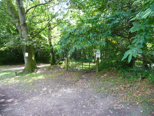
The hill attracts outdoor enthusiasts and nature lovers alike, who visit for hiking, walking, and birdwatching. Several well-maintained trails traverse the hill, offering visitors the opportunity to explore its diverse landscape and enjoy the stunning vistas it offers. Shingle Hill is a popular destination throughout the year, with its changing scenery reflecting the seasons, from blooming wildflowers in spring to golden-hued foliage in autumn.

Overall, Shingle Hill in Kent provides visitors with a captivating experience, combining natural beauty, biodiversity, and panoramic views, making it a must-visit destination for those seeking tranquility and an appreciation of the great outdoors.

If you have any feedback on the listing, please let us know in the comments section below.
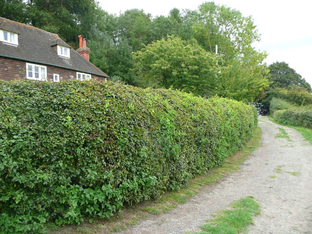
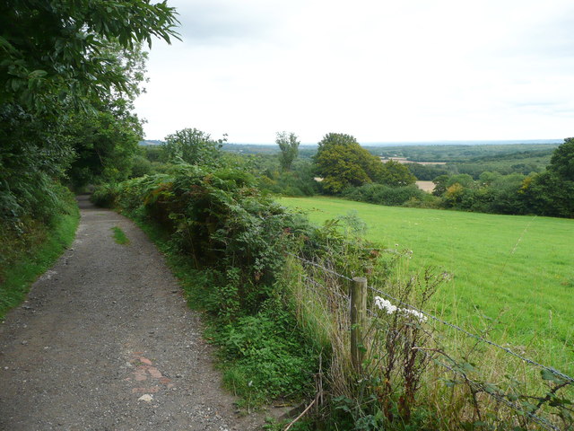
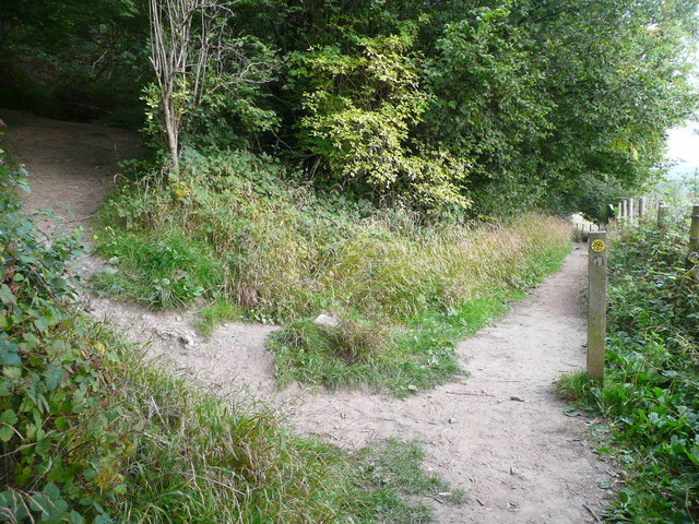
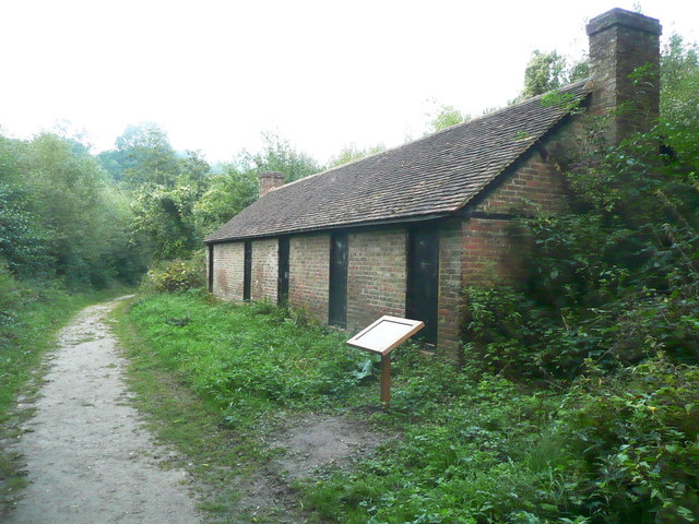
Shingle Hill Images

Images are sourced within 2km of 51.256195/0.24641741 or Grid Reference TQ5653. Thanks to Geograph Open Source API. All images are credited.

The Ightham Mote 'Green Walk' at Wilmot Cottage Wilmot Cottage was formerly an inn and smithy on a packhorse route.
The Ightham Mote 'Green Walk' at Wilmot Cottage
Wilmot Cottage was formerly an inn and smithy on a packhorse route.
On the Ightham Mote 'Green Walk' The view is opening out as the path climbs.
On the Ightham Mote 'Green Walk'
The view is opening out as the path climbs.
Stile on the Ightham Mote 'Green Walk' This is at the highest point of the walk, at the boundary of the Ightham Mote estate.
Stile on the Ightham Mote 'Green Walk'
This is at the highest point of the walk, at the boundary of the Ightham Mote estate.
Beech Tree on the Ightham Mote 'Green Walk' This is one of several veteran trees at the top of Shingle Hill Wood.
Beech Tree on the Ightham Mote 'Green Walk'
This is one of several veteran trees at the top of Shingle Hill Wood.
Sharp bend on the Ightham Mote 'Green Walk' Here the path comes from Wilmot Cottage and zig-zags up the steep hillside. The path behind the camera goes to One Tree Hill.
Sharp bend on the Ightham Mote 'Green Walk'
Here the path comes from Wilmot Cottage and zig-zags up the steep hillside. The path behind the camera goes to One Tree Hill.
Hoppers' huts on the Ightham Mote 'Green Walk' These were used as temporary accommodation for seasonal workers from the towns who came to pick hops in September.
Hoppers' huts on the Ightham Mote 'Green Walk'
These were used as temporary accommodation for seasonal workers from the towns who came to pick hops in September.
George V letter box at Ightham Mote Farm This is a close view of the letter box in <a href="https://www.geograph.org.uk/photo/1362663">TQ5853 : Postbox on a farm building, Mote farm, Mote Rd</a>.
George V letter box at Ightham Mote Farm
This is a close view of the letter box in TQ5853 : Postbox on a farm building, Mote farm, Mote Rd.
Path up to the cottages at Ightham Mote
The exit from the house, on the west side of the courtyard, Ightham Mote
The entrance to the house on the north side of the courtyard, Ightham Mote You enter through the passage on the left, and then go through the room behind the three ground-floor windows.
The entrance to the house on the north side of the courtyard, Ightham Mote
You enter through the passage on the left, and then go through the room behind the three ground-floor windows.
The moat on the south side of the house, Ightham Mote
The east side of the courtyard, Ightham Mote The tall five-light window of c.1500 according to John Newman (The Buildings of England, West Kent and the Weald) and the doorway are in the wall of the 14C hall of the house. The solar wing is to the left; it has 16C pierced bargeboards.
The east side of the courtyard, Ightham Mote
The tall five-light window of c.1500 according to John Newman (The Buildings of England, West Kent and the Weald) and the doorway are in the wall of the 14C hall of the house. The solar wing is to the left; it has 16C pierced bargeboards.
Tree in the garden, Ightham Mote This tree has small heart-shaped leaves, already turning yellow for autumn.  My best guess is a species of Lindera.
Tree in the garden, Ightham Mote
This tree has small heart-shaped leaves, already turning yellow for autumn. My best guess is a species of Lindera.
Cistern next to the path down to Ightham Mote This building contains a tank of water.
Cistern next to the path down to Ightham Mote
This building contains a tank of water.
Gate into National Trust land from the car park at One Tree Hill, Seal
Horse training facility, Carter's Hill Scattered about this field are obstacles of various shapes and sizes, for training horses to jump.
Horse training facility, Carter's Hill
Scattered about this field are obstacles of various shapes and sizes, for training horses to jump.
Track off the Greensand Way at Carter's Hill
View off the Greensand Way at Carter's Hill
Show me another place!

Shingle Hill is located at Grid Ref: TQ5653 (Lat: 51.256195, Lng: 0.24641741)

Administrative County: Kent

District: Sevenoaks

Police Authority: Kent

What 3 Words

///clips.staple.laws. Near Sevenoaks, Kent

Related Wikis

One Tree Hill and Bitchet Common

One Tree Hill and Bitchet Common is a 79.2-hectare (196-acre) biological Site of Special Scientific Interest east of Sevenoaks in Kent. It is in Kent Downs...

Underriver

Underriver is a village about 3 miles (5 km) south-east of Sevenoaks, Kent. It is in the civil parish of Seal. The name "Underriver" is derived from the...
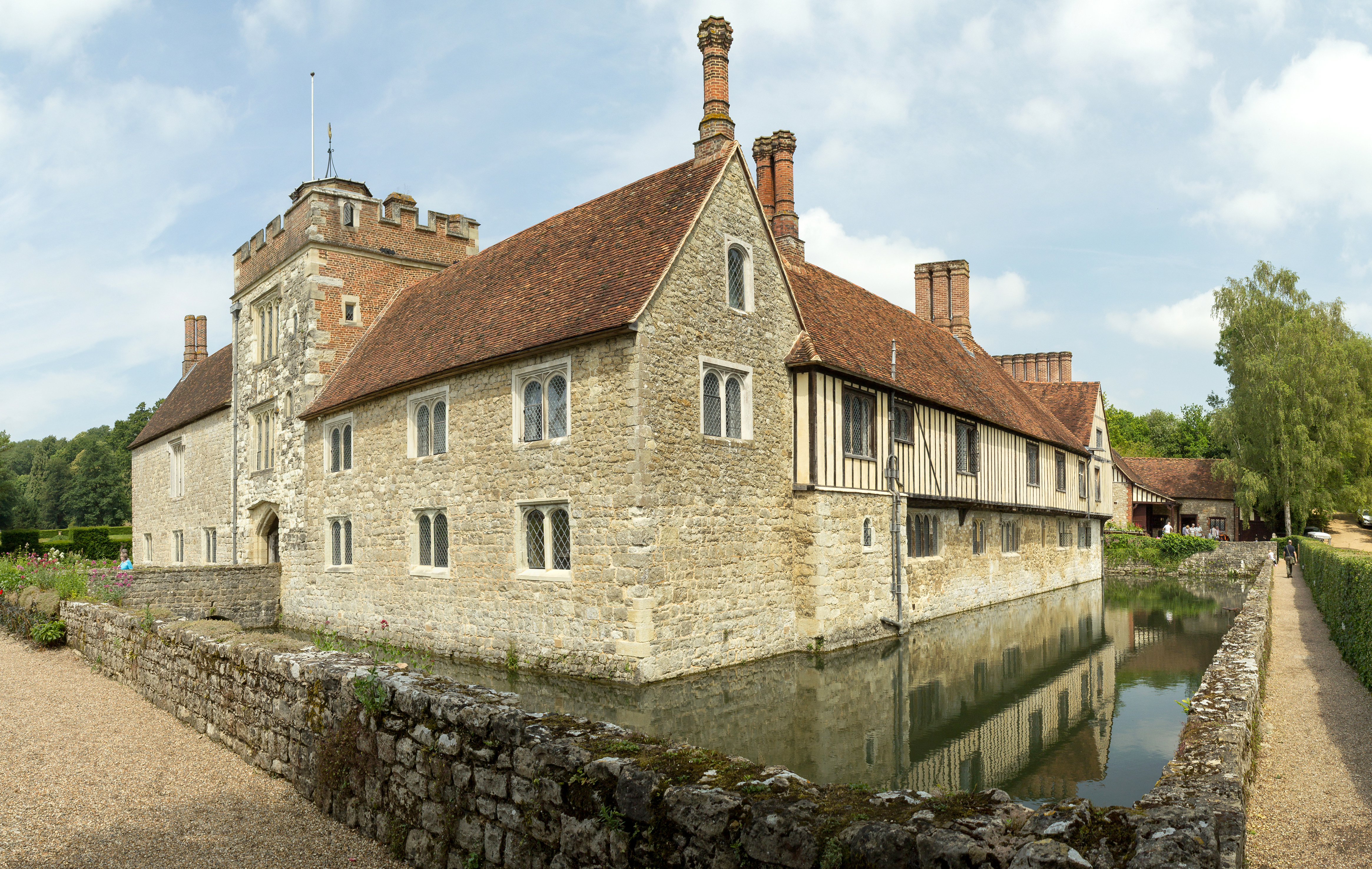
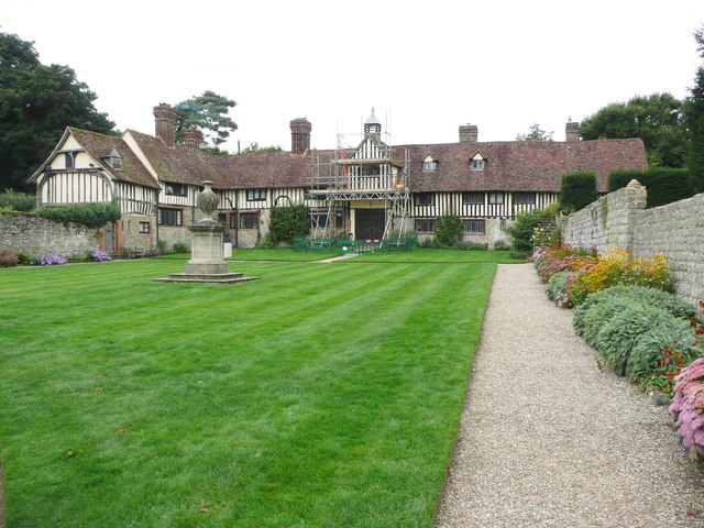
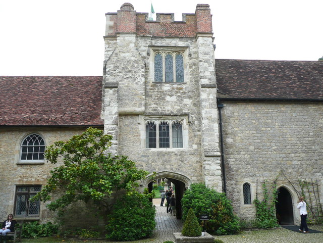
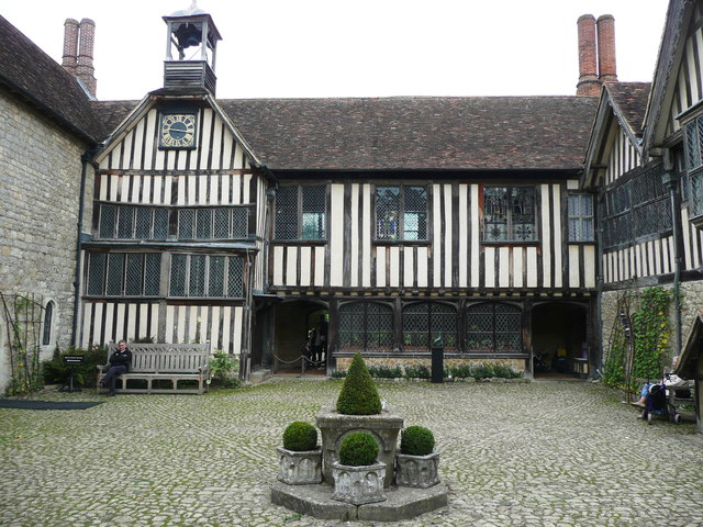
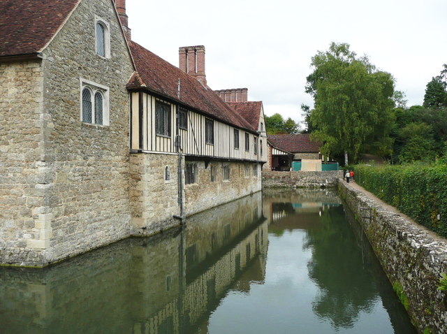
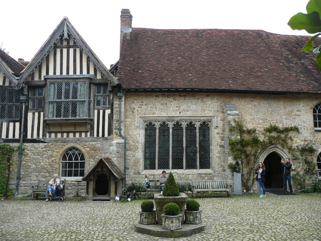
Ightham Mote

Ightham Mote (), at Ightham, is a medieval moated manor house in Kent, England. The architectural writer John Newman describes it as "the most complete...

Sevenoaks Preparatory School

Sevenoaks Prep School is a co-educational, day preparatory school for 385 pupils aged 2–13 in Sevenoaks in south-east England. The school is situated on...

1927 KLM Fokker F.VIII crash

The 1927 KLM Fokker F.VIII crash happened on 22 August 1927 when Fokker F.VIII H-NADU of KLM crashed at Underriver, Kent, following structural failure...

Ivy Hatch Nature Reserve

Ivy Hatch Nature Reserve in Ivy Hatch, north of Tonbridge in Kent, is a 0.5-hectare (1.2-acre) reserve managed by the Kent Wildlife Trust.Several streams...

Godden Green

Godden Green is a hamlet 1 mile (2 km) east of Sevenoaks in Kent, England. It is within the civil parish of Seal, in Sevenoaks District, on the eastern...

Fairlawne

Fairlawne is a Grade I listed house in Shipbourne, Kent, England, about 30 miles southeast of central London. The Fairlawne Estate is extensive and stretches...

Nearby Amenities

Located within 500m of 51.256195,0.24641741
Wilmot Hill
Natural: peak
Lat/Long: 51.2559831/0.2522986
Barrier: kissing_gate
Lat/Long: 51.2547882/0.2471411
Bench
Lat/Long: 51.2574777/0.2489211
Bench
Lat/Long: 51.254375/0.2525817
Direction: 206
Tourism: viewpoint
Lat/Long: 51.2542633/0.2525788
Board Type: board
Information: board
Operator: National Trust
Tourism: information
Lat/Long: 51.2544041/0.2520494
The data included in this document is from www.openstreetmap.org. The data is made available under ODbL.

Have you been to Shingle Hill?

Leave your review of Shingle Hill below (or comments, questions and feedback).