Barney
Settlement in Norfolk North Norfolk
England
Barney
Barney is a small village located in the Norfolk county, in the eastern part of England. Situated about 12 miles west of the historic city of Norwich, Barney is a quintessentially English rural settlement with a population of around 300 residents.
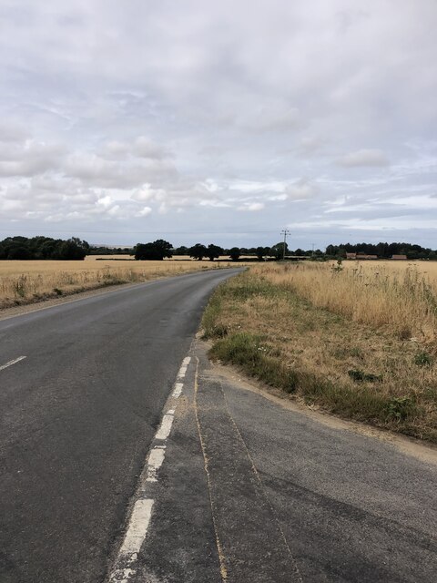
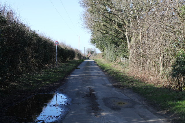
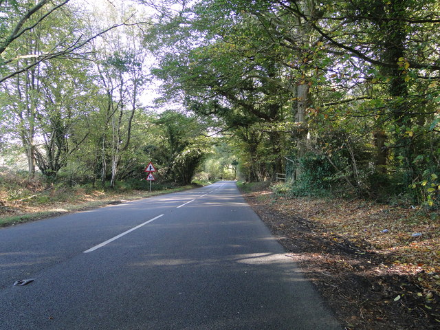
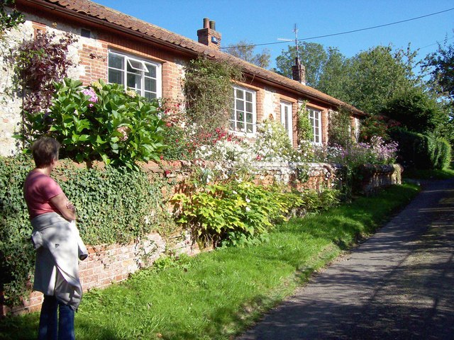
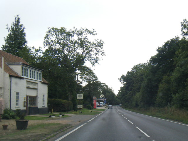
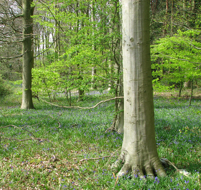
The village of Barney is known for its picturesque and idyllic setting, nestled amidst the rolling green farmlands and surrounded by the natural beauty of the countryside. With its charming thatched cottages, well-preserved historic buildings, and traditional English architecture, Barney exudes a sense of timeless charm and tranquility.
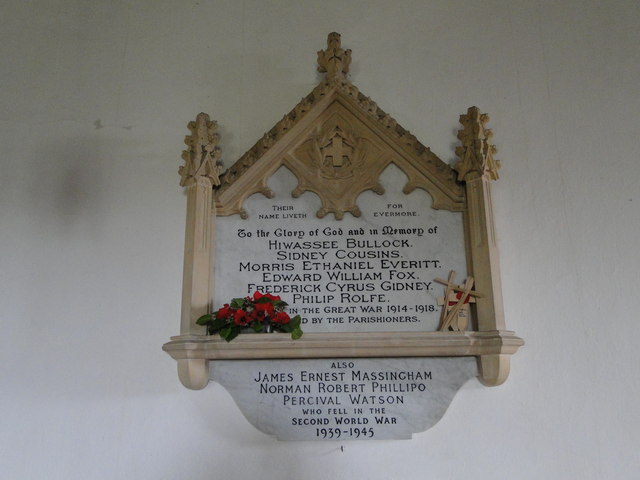
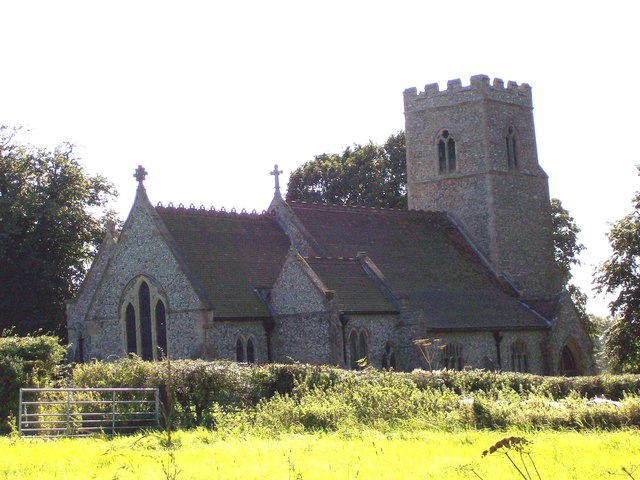
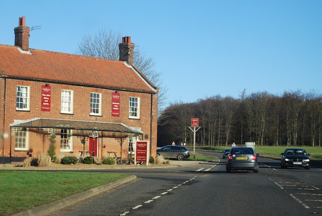
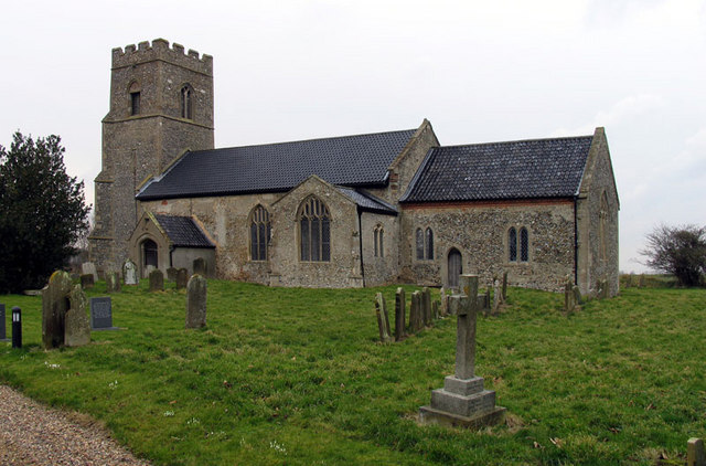
The heart of the village is its parish church, St. Mary's, which dates back to the 14th century. This beautiful church is a focal point for the community and stands as a testament to Barney's rich heritage. The village also boasts a local pub, The Hare and Hounds, which serves as a meeting place for both residents and visitors.
Barney is a close-knit community that prides itself on its strong sense of community spirit and friendly atmosphere. The village hosts various events and activities throughout the year, including fairs, festivals, and social gatherings, which bring the residents together and foster a sense of belonging.
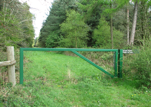
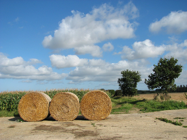
Surrounded by the Norfolk countryside, Barney offers ample opportunities for outdoor activities such as walking, cycling, and birdwatching. The village is also well-positioned for exploring the wider Norfolk area, with its stunning coastlines, nature reserves, and historic sites.
In summary, Barney is a charming and peaceful village, offering a tranquil escape from the hustle and bustle of modern life. With its stunning natural surroundings, rich history, and strong sense of community, Barney is a hidden gem in the Norfolk countryside.
If you have any feedback on the listing, please let us know in the comments section below.
Barney Images
Images are sourced within 2km of 52.853422/0.962312 or Grid Reference TF9932. Thanks to Geograph Open Source API. All images are credited.

Barney is located at Grid Ref: TF9932 (Lat: 52.853422, Lng: 0.962312)
Administrative County: Norfolk
District: North Norfolk
Police Authority: Norfolk
What 3 Words
///intruded.remaining.sushi. Near Briston, Norfolk
Nearby Locations
Related Wikis
Barney, Norfolk
Barney is a village and former civil parish, now in the parish of Fulmodeston, in the North Norfolk district, in the county of Norfolk, England. Settled...
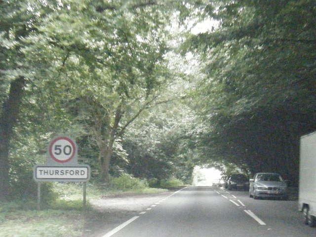
Thursford
Thursford is a village and civil parish in the county of Norfolk, eastern England. The village is 16.3 miles southwest of Cromer, 24.5 miles northwest...

Thursford railway station
Thursford railway station was a station in Norfolk, England on the Midland and Great Northern Joint Railway line between Melton Constable and South Lynn...

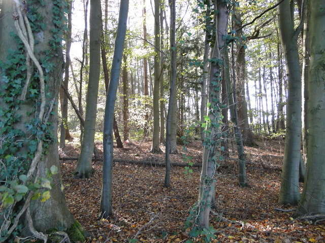
Swanton Novers Woods
Swanton Novers Woods is an 83-hectare (210-acre) biological Site of Special Scientific Interest east of Fakenham in Norfolk. The site is composed of Swanton...
Nearby Amenities
Located within 500m of 52.853422,0.962312Have you been to Barney?
Leave your review of Barney below (or comments, questions and feedback).