Barnettbrook
Settlement in Worcestershire Wyre Forest
England
Barnettbrook
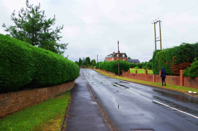
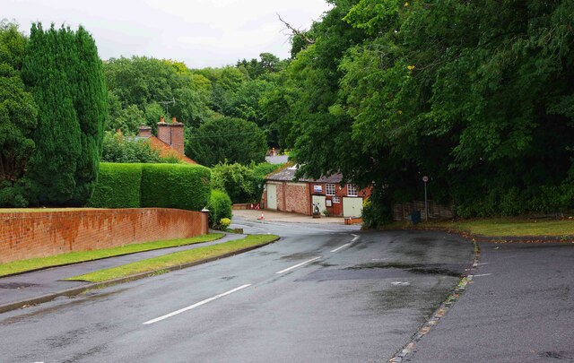
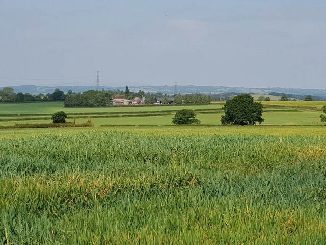
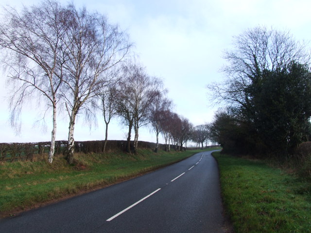
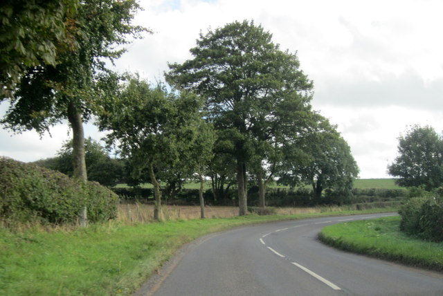
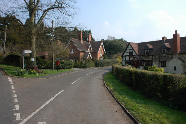
Barnettbrook is a small village located in the county of Worcestershire, England. Situated in the picturesque countryside, it is surrounded by rolling hills and lush green fields, offering residents and visitors a tranquil and idyllic setting.
The village is home to a close-knit community, consisting of around 200 residents. The tight-knit nature of the community is evident through the various community events and gatherings that take place throughout the year, fostering a sense of unity and belonging.
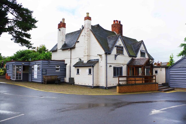
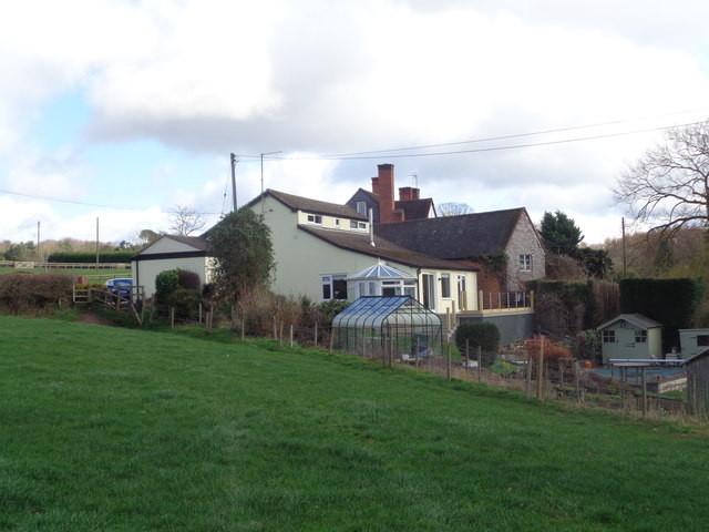
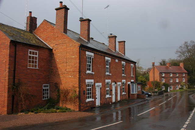
Barnettbrook boasts a rich history, with some buildings dating back several centuries. The architecture of the village reflects its heritage, with charming cottages and traditional houses lining the streets. The local church, St. Mary's, is a notable landmark, known for its beautiful stained glass windows and historic graveyard.
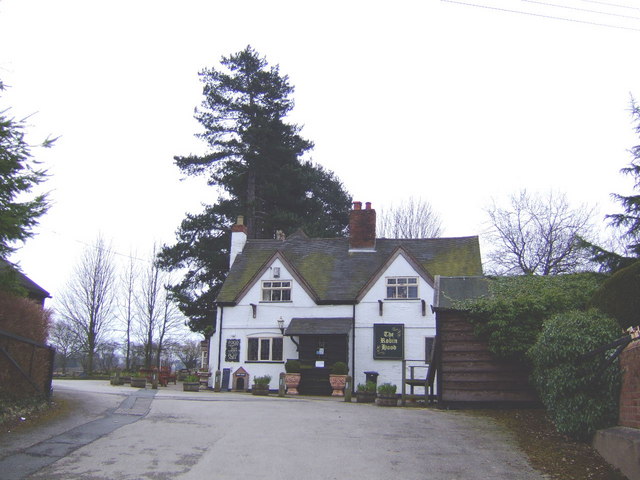
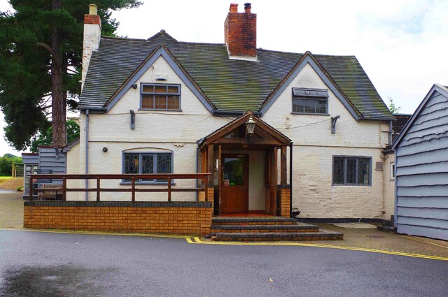
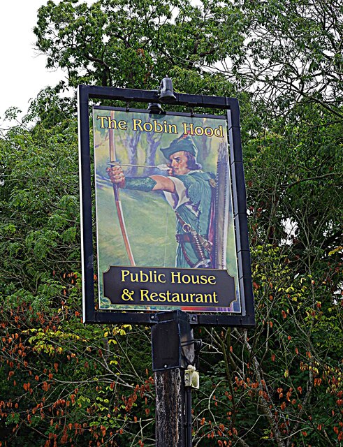
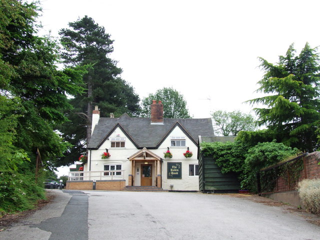
Although small in size, Barnettbrook offers a range of amenities to cater to its residents' needs. These include a village hall, a small convenience store, and a cozy pub, where locals gather to socialize and enjoy a pint.
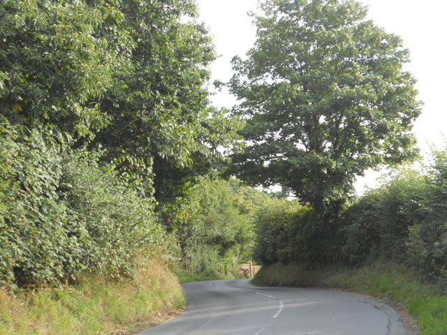
Nature lovers will find plenty to explore in the surrounding area. The village is located near several walking trails and nature reserves, providing opportunities for leisurely strolls and birdwatching.
Barnettbrook's peaceful and scenic location, combined with its strong sense of community, makes it an attractive place to live for those seeking a slower pace of life and a close connection with nature.
If you have any feedback on the listing, please let us know in the comments section below.
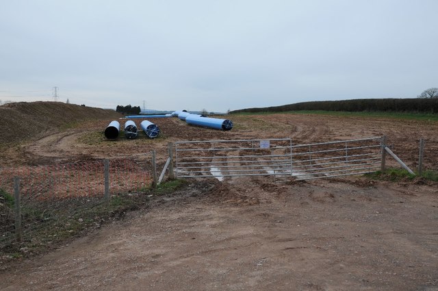
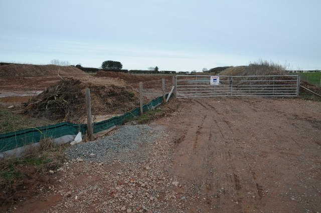
Barnettbrook Images
Images are sourced within 2km of 52.385573/-2.165558 or Grid Reference SO8876. Thanks to Geograph Open Source API. All images are credited.


Barnettbrook is located at Grid Ref: SO8876 (Lat: 52.385573, Lng: -2.165558)
Administrative County: Worcestershire
District: Wyre Forest
Police Authority: West Mercia
What 3 Words
///bearable.narrowest.emails. Near Belbroughton, Worcestershire
Nearby Locations
Related Wikis

Hackmans Gate
Hackmans Gate is a hamlet in the parish of Broome, and the district of Wyre Forest District of Worcestershire, England.
Drayton, Worcestershire
Drayton is a hamlet in Worcestershire, England which remains part of the ecclesiastical parish of Chaddesley Corbett, which from its select vestry formed...

Blakedown
Blakedown is a village in the Wyre Forest District lying along the A456 in the north of the county of Worcestershire, England. Following enclosures and...

Harvington Hall
Harvington Hall is a moated medieval and Elizabethan manor house in the hamlet of Harvington in the civil parish of Chaddesley Corbett, southeast of Kidderminster...
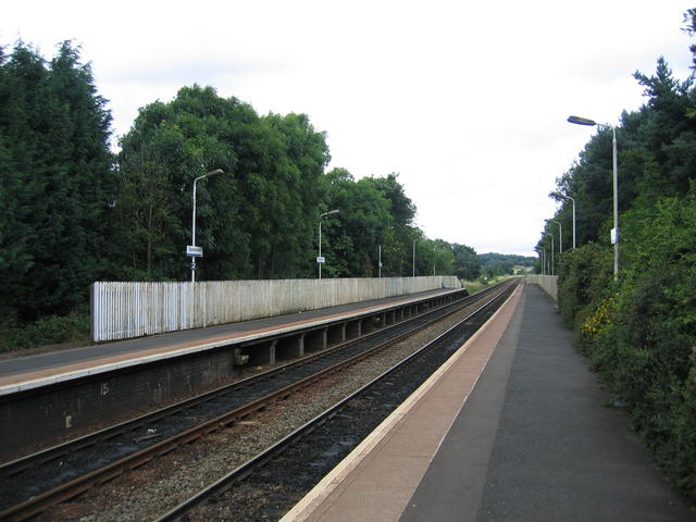
Blakedown railway station
Blakedown railway station serves the English village of Blakedown, Worcestershire. It was opened as Churchill in 1852, later becoming known for a time...

Tanwood
Tanwood is a hamlet in the English county of Worcestershire. It lies about one mile northeast of the village of Chaddesley Corbett and forms part of the...
Broome, Worcestershire
Broome is a village and civil parish in the Wyre Forest District of Worcestershire, England. According to the 2001 census it had a population of 338. The...

Chaddesley Corbett
Chaddesley Corbett is a village and civil parish in the Wyre Forest District of Worcestershire, England. The Anglican and secular versions of the parish...
Nearby Amenities
Located within 500m of 52.385573,-2.165558Have you been to Barnettbrook?
Leave your review of Barnettbrook below (or comments, questions and feedback).