Barnett Brook
Settlement in Cheshire
England
Barnett Brook
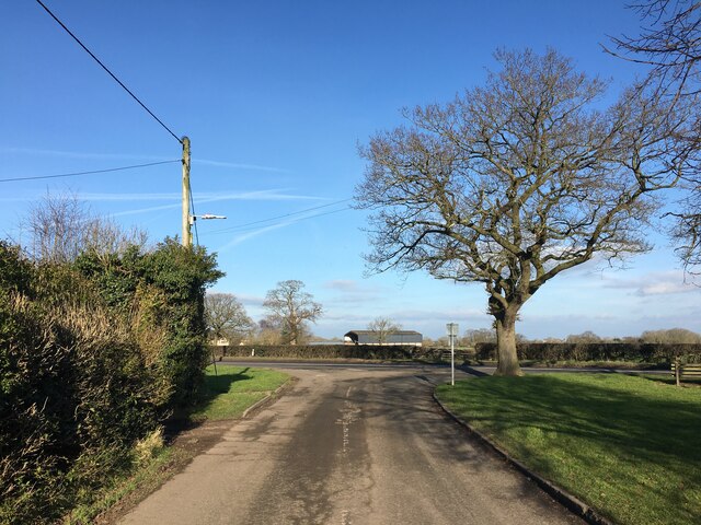
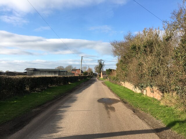
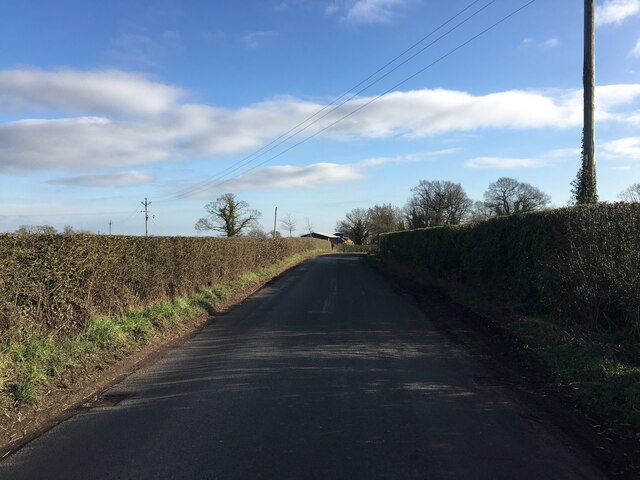
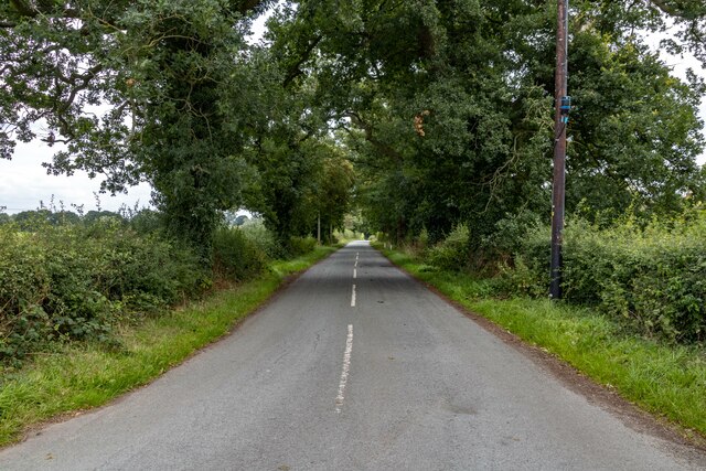
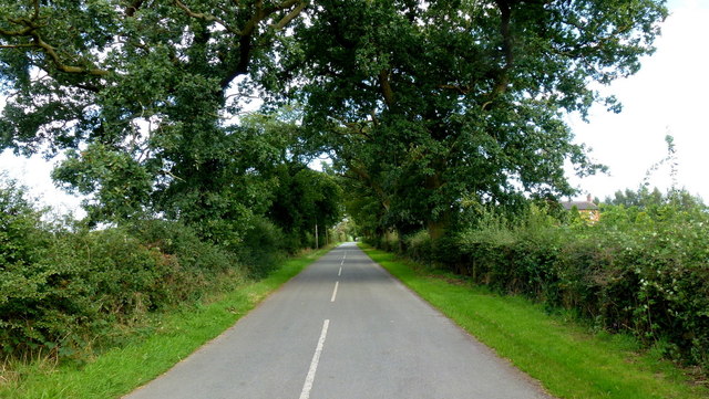
Barnett Brook is a small village located in the county of Cheshire, England. Situated approximately 5 miles southeast of the town of Macclesfield, Barnett Brook boasts a picturesque countryside setting with beautiful rolling hills and serene landscapes.
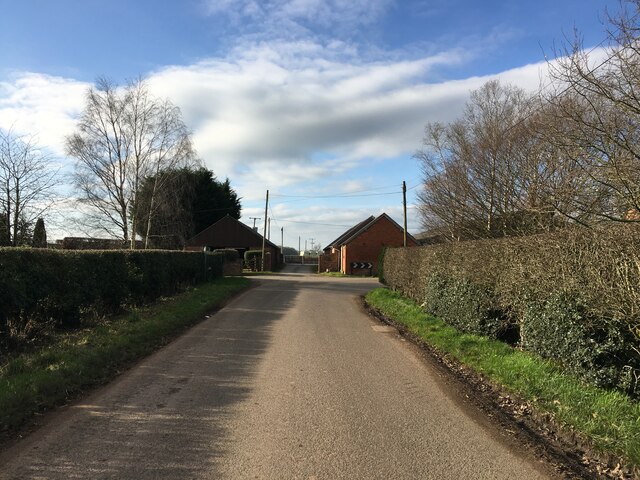
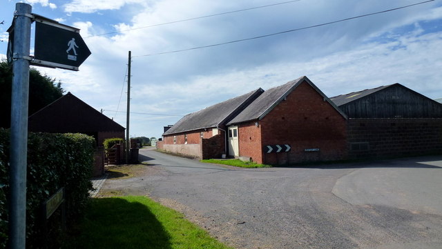
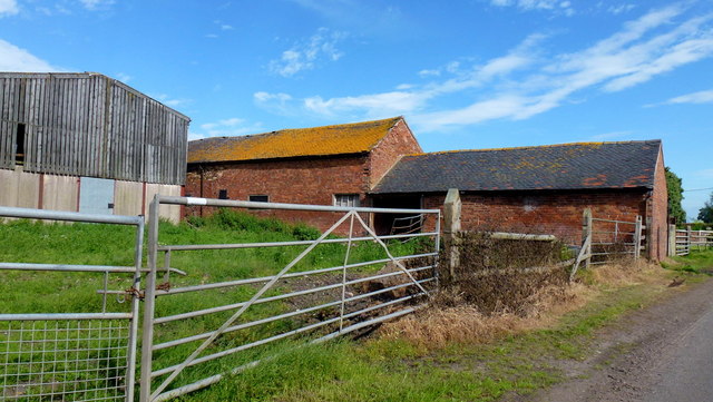
The village is home to a close-knit community, with a population of around 500 residents. It exudes a tranquil atmosphere, making it an ideal place for those seeking a peaceful retreat from the hustle and bustle of city life. The village is characterized by its charming stone cottages, many of which date back several centuries, showcasing the rich history and heritage of the area.
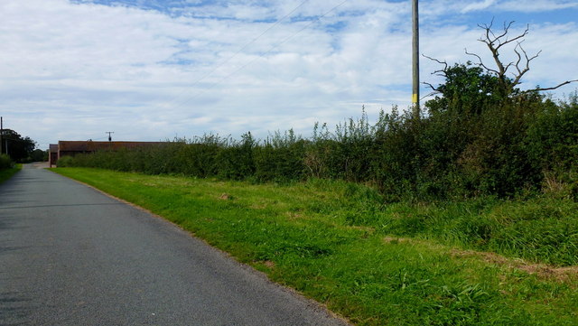
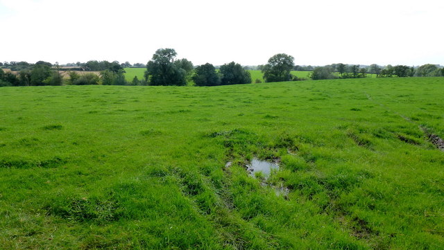
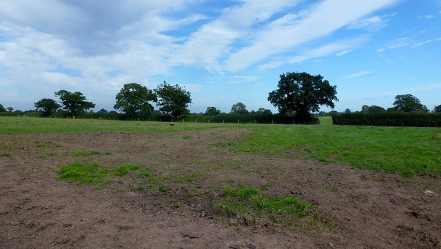
Barnett Brook is surrounded by lush green fields, making it an excellent destination for nature lovers and outdoor enthusiasts. The village is blessed with numerous walking and cycling trails, allowing visitors to explore the stunning countryside and enjoy the fresh air.
Despite its small size, Barnett Brook is well-equipped with amenities to cater to the needs of its residents. The village has a local pub, providing a friendly and welcoming atmosphere for locals and visitors alike. Additionally, there are several small shops and businesses, ensuring that essential services are readily available within the community.
Overall, Barnett Brook is a charming village in the heart of Cheshire, offering a peaceful and idyllic setting for residents and visitors to enjoy the beauty of the countryside and experience a close-knit community.
If you have any feedback on the listing, please let us know in the comments section below.
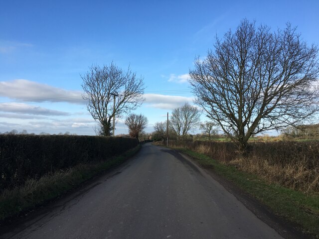
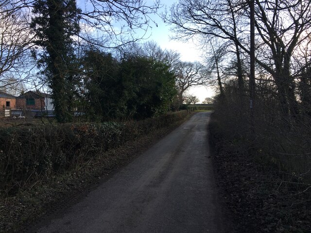
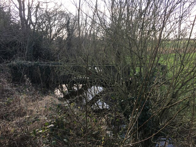
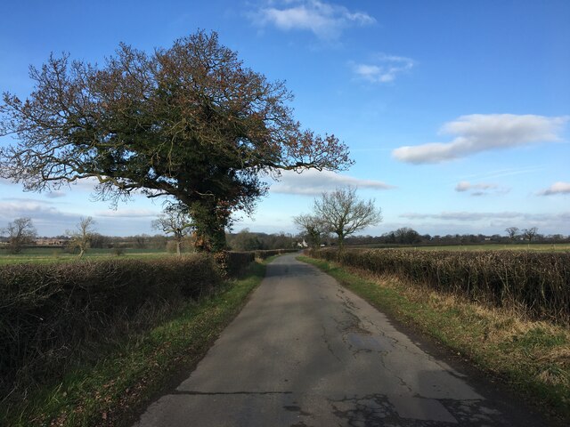
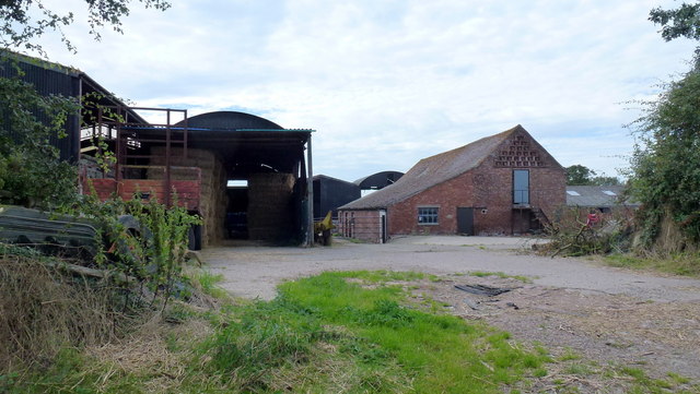
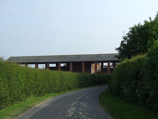
Barnett Brook Images
Images are sourced within 2km of 52.992873/-2.563868 or Grid Reference SJ6244. Thanks to Geograph Open Source API. All images are credited.

Barnett Brook is located at Grid Ref: SJ6244 (Lat: 52.992873, Lng: -2.563868)
Unitary Authority: Cheshire East
Police Authority: Cheshire
What 3 Words
///deck.snips.nerd. Near Audlem, Cheshire
Nearby Locations
Related Wikis

Barnett Brook
Barnett Brook is a hamlet in the Newhall and Dodcott cum Wilkesley civil parishes in the Cheshire East area of Cheshire, England. The hamlet is situated...
Salesbrook
Salesbrook (sometimes written 'Sales Brook' or archaically 'Sailsbrook'. Occasionally referred to by the Welsh version of the name Nant Acsiynau) is a...
Dodd's Green
Dodd's Green (also Dod's Green, Dodds Green and Doddsgreen) is a small settlement within the civil parish of Newhall in the Cheshire East division of the...

Dodcott cum Wilkesley
Dodcott cum Wilkesley is a civil parish in the unitary authority of Cheshire East and the ceremonial county of Cheshire, England. The hamlet of Wilkesley...
Have you been to Barnett Brook?
Leave your review of Barnett Brook below (or comments, questions and feedback).