Barnetby le Wold
Settlement in Lincolnshire
England
Barnetby le Wold
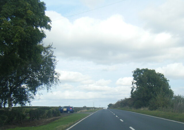
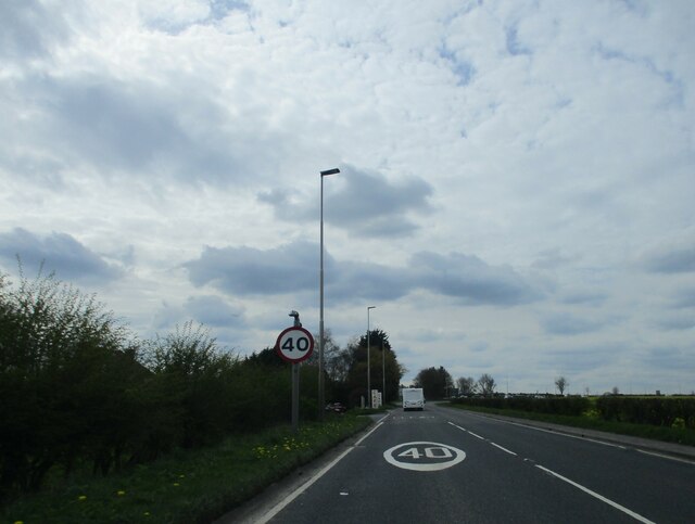
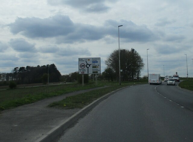
Barnetby le Wold is a small village located in the North Lincolnshire district of Lincolnshire, England. Situated on the eastern edge of the Lincolnshire Wolds, it is approximately 5 miles southeast of the market town of Brigg and 11 miles northwest of the city of Grimsby.
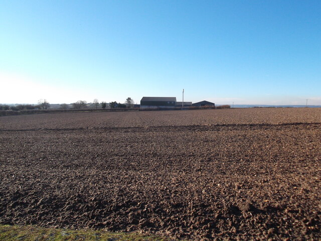
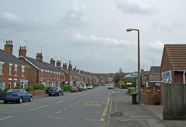
The village has a population of around 1,500 residents and is known for its rural charm and picturesque surroundings. Barnetby le Wold is primarily an agricultural community, with farming playing a significant role in the local economy.
The village features a mixture of traditional and modern architecture, with a range of residential properties, including quaint cottages and more contemporary houses. There are also several amenities available to the local residents, such as a primary school, a post office, a convenience store, and a few local businesses.
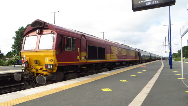
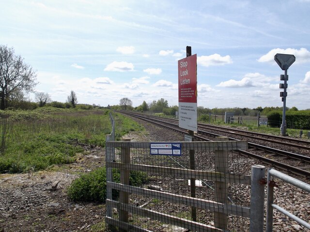
Transportation in Barnetby le Wold is well-served, primarily due to its railway station, which is an important junction on the South TransPennine route. This provides regular train services to various destinations, including Manchester, Cleethorpes, and Lincoln.
The surrounding countryside offers plenty of opportunities for outdoor activities, such as walking, cycling, and horse riding, making Barnetby le Wold an attractive location for nature lovers. Overall, the village provides a peaceful and idyllic setting for residents and visitors alike, showcasing the beauty of the Lincolnshire countryside.
If you have any feedback on the listing, please let us know in the comments section below.
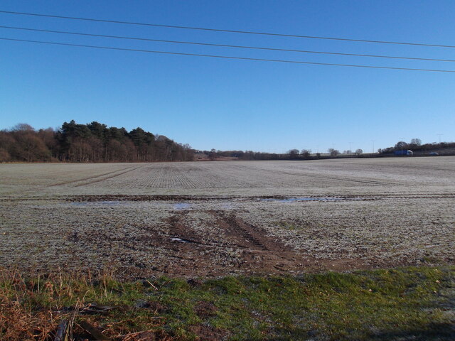
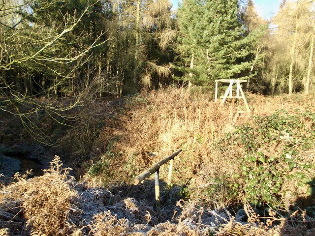
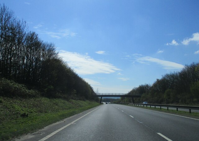
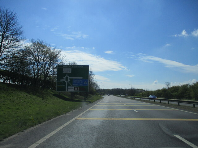
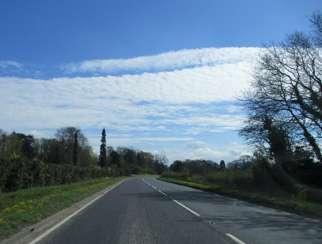
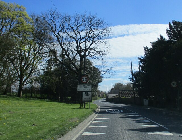
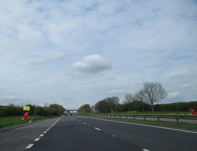
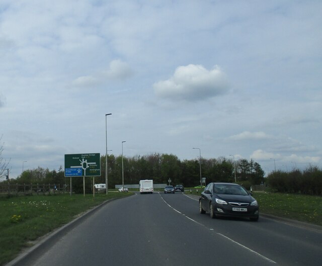
Barnetby le Wold Images
Images are sourced within 2km of 53.574948/-0.40627273 or Grid Reference TA0509. Thanks to Geograph Open Source API. All images are credited.
Barnetby le Wold is located at Grid Ref: TA0509 (Lat: 53.574948, Lng: -0.40627273)
Division: Parts of Lindsey
Unitary Authority: North Lincolnshire
Police Authority: Humberside
What 3 Words
///unhappily.ramble.bloomers. Near Barnetby le Wold, Lincolnshire
Nearby Locations
Related Wikis
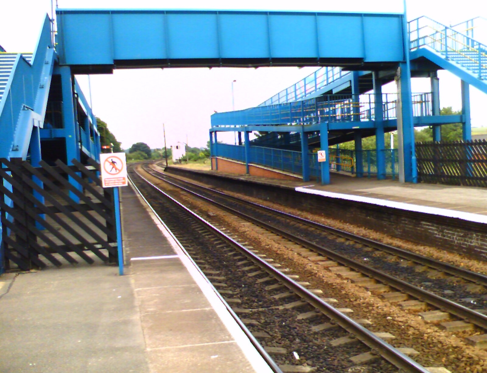
Barnetby railway station
Barnetby railway station serves the village of Barnetby-le-Wold in North Lincolnshire, England. It is operated by TransPennine Express, with East Midlands...
Barnetby le Wold
Barnetby le Wold is a village and civil parish in North Lincolnshire, Lincolnshire, England, located between Brigg and Immingham. The village is also near...

St Mary's Church, Barnetby
St Mary's Church is a redundant Anglican church in the village of Barnetby, Lincolnshire, England. It is recorded in the National Heritage List for England...

Wrawby Junction rail crash
The Wrawby Junction rail crash was a train crash which occurred on 9 December 1983, at Wrawby Junction, near Barnetby station, North Lincolnshire, England...
1898 Wrawby Junction rail crash
On 17 October 1898 at Wrawby Junction, on what was the Great Central Railway near Brigg in Lincolnshire, England, a passenger train collided with a derailed...

Wrawby Junction
Wrawby Junction is a busy railway junction located a short distance west of Barnetby, North Lincolnshire, England and controls the confluence of the Network...

Bigby, Lincolnshire
Bigby is a village and civil parish in the West Lindsey district of Lincolnshire, England. The village is situated about 10 miles (20 km) south from the...

Elsham Hall
Elsham Hall is a 17th-century English country house situated in its own parkland in Elsham, North Lincolnshire. The park and gardens are open to the public...
Nearby Amenities
Located within 500m of 53.574948,-0.40627273Have you been to Barnetby le Wold?
Leave your review of Barnetby le Wold below (or comments, questions and feedback).