Heighton Hill
Hill, Mountain in Sussex Lewes
England
Heighton Hill
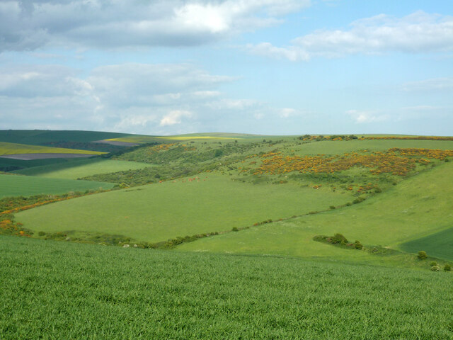
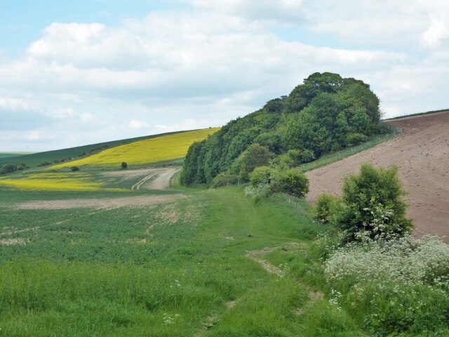
Heighton Hill is a prominent feature located in the county of Sussex, England. Standing at an elevation of around 195 meters (640 feet), it is classified as a hill rather than a mountain due to its moderate height. Situated within the South Downs National Park, Heighton Hill offers breathtaking views and is a popular destination for outdoor enthusiasts and nature lovers alike.
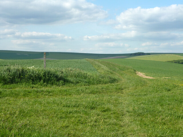
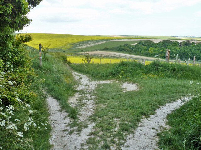
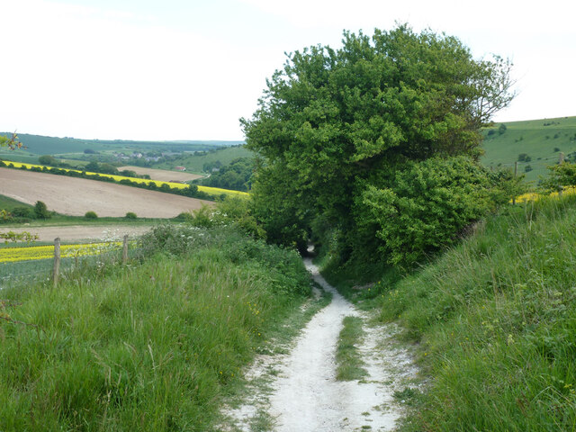
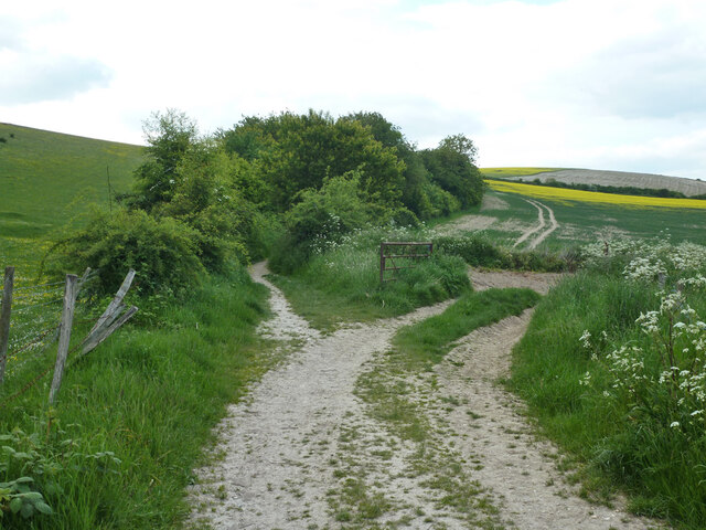
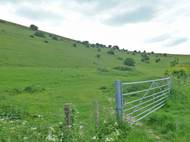
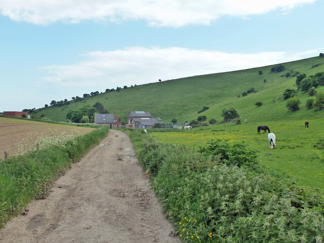
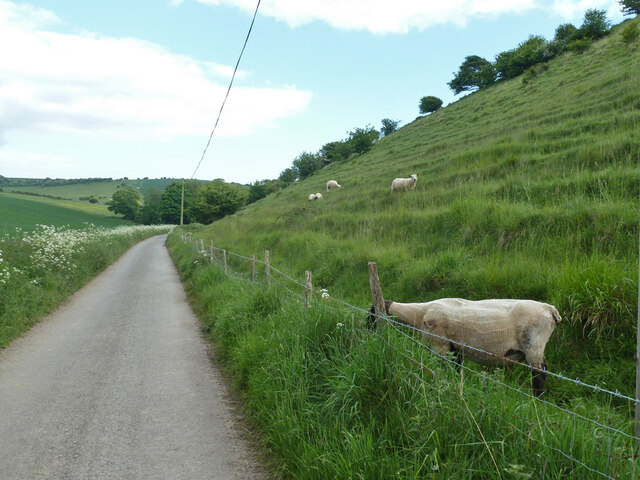
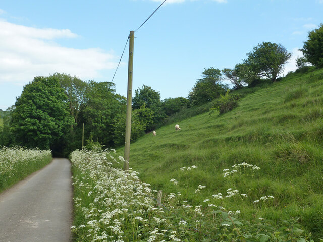
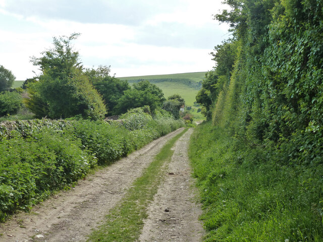
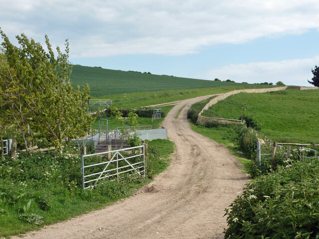
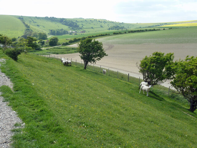
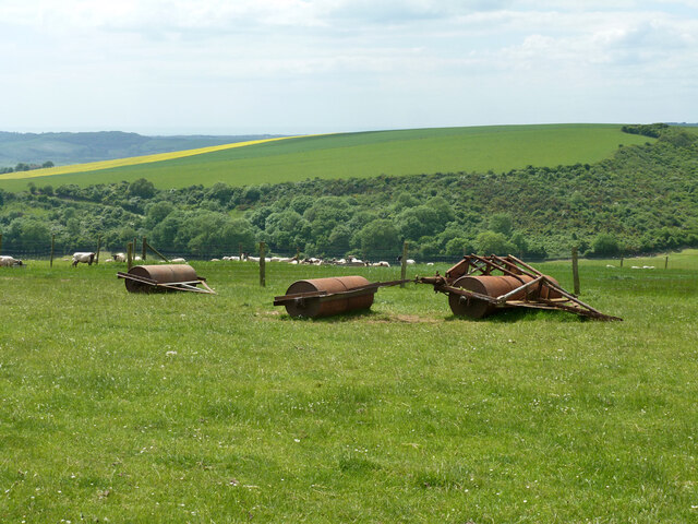
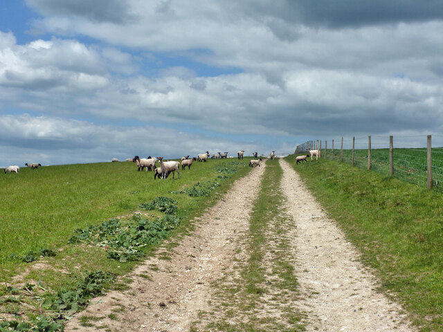
The hill is characterized by its gently sloping terrain, covered in lush green grass and dotted with clusters of trees. Its location within the national park ensures an abundance of wildlife, including various bird species, small mammals, and insects. The diverse flora and fauna make it an ideal spot for nature walks, birdwatching, and photography.
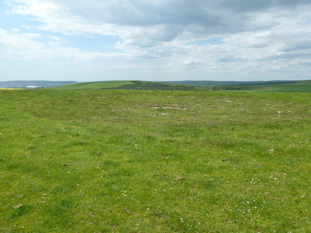
Atop Heighton Hill, visitors are rewarded with panoramic vistas of the surrounding countryside. On clear days, one can see as far as the English Channel, providing a stunning backdrop to the rolling hills and picturesque villages that dot the landscape. The hill is also well-known for its vibrant sunsets, attracting photographers and sunset enthusiasts.
Accessible via well-maintained footpaths, Heighton Hill offers several options for outdoor activities. Hiking and walking trails meander through the surrounding countryside, allowing visitors to explore the area at their own pace. The hill is also a popular spot for paragliding and hang gliding, with its elevation and gentle slopes providing ideal conditions for these activities.
Overall, Heighton Hill in Sussex offers a serene and picturesque experience for those seeking a connection with nature. Its stunning views, diverse wildlife, and accessibility make it a must-visit destination for outdoor enthusiasts and individuals looking for a peaceful retreat.
If you have any feedback on the listing, please let us know in the comments section below.
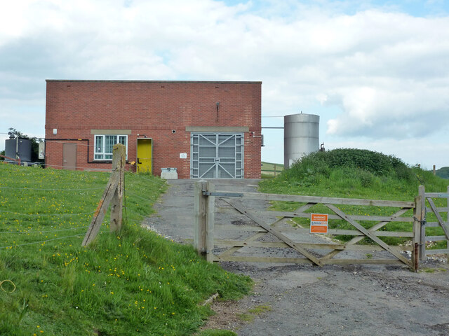
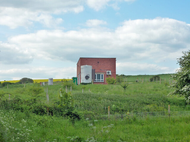
Heighton Hill Images
Images are sourced within 2km of 50.815826/0.091953457 or Grid Reference TQ4703. Thanks to Geograph Open Source API. All images are credited.
Heighton Hill is located at Grid Ref: TQ4703 (Lat: 50.815826, Lng: 0.091953457)
Administrative County: East Sussex
District: Lewes
Police Authority: Sussex
What 3 Words
///duties.infants.bypasses. Near Newhaven, East Sussex
Nearby Locations
Related Wikis

Firle Escarpment
Firle Escarpment is a 302.1-hectare (747-acre) biological Site of Special Scientific Interest north of Seaford in East Sussex.This is a long stretch of...
Firle Beacon
Firle Beacon is a hill in the South Downs of southern England. It is 217 metres high and is a Marilyn. It commands a far-reaching view. When the prevailing...

Firle Hill Climb
Firle Hill Climb is a disused hillclimbing course near Lewes, East Sussex, England, sometimes referred to as Bo Peep Hill Climb. The event was celebrated...

Denton, East Sussex
Denton is a small village in the civil parish of Newhaven, in the Lewes district, in the county of East Sussex, England. It adjoins the villages of South...
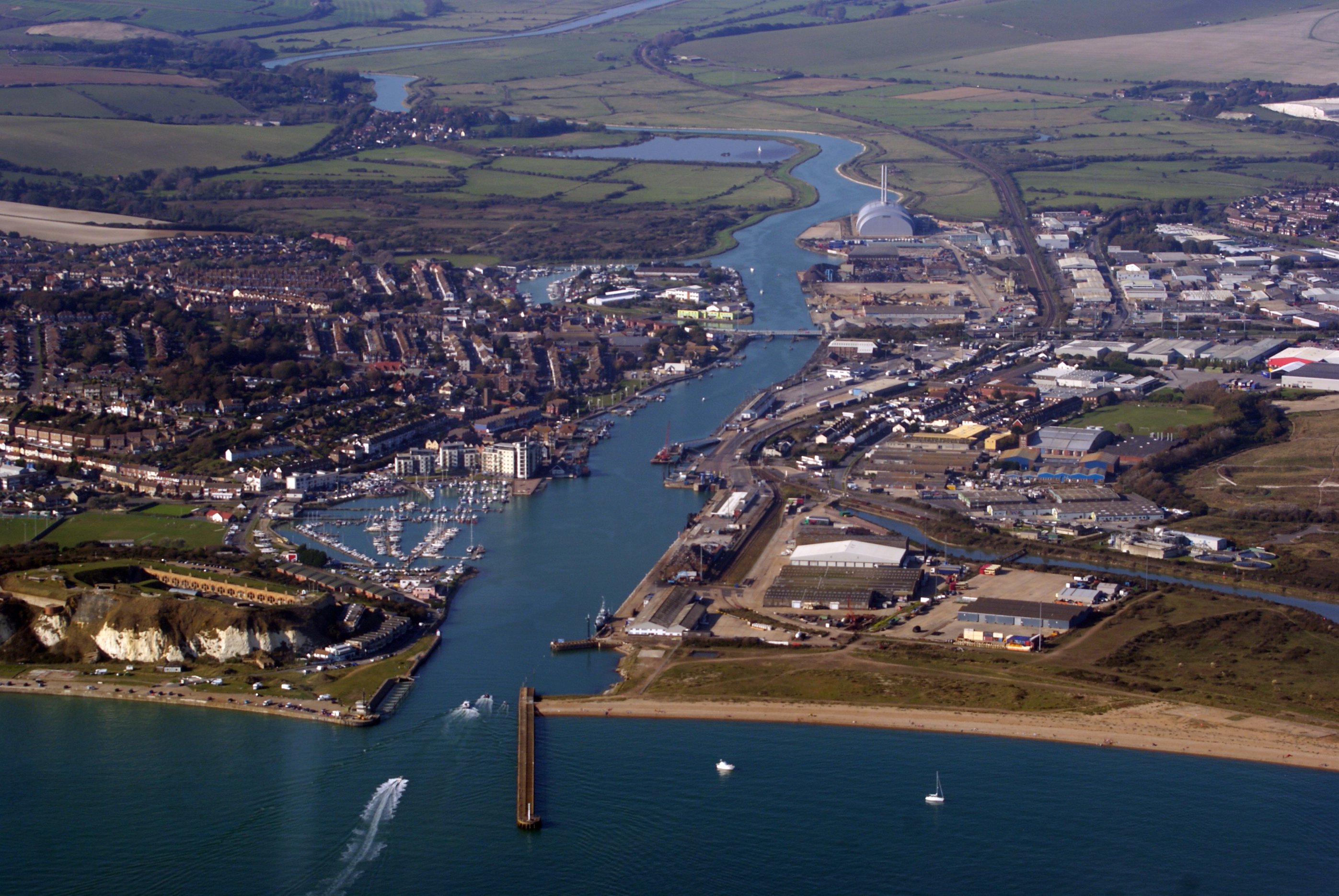
Newhaven, East Sussex
Newhaven is a port town in East Sussex in England, lying at the mouth of the River Ouse. The town developed during the Middle Ages as the nearby port of...
Tarring Neville
Tarring Neville is a village and civil parish in the Lewes District of East Sussex, England. The village is located five miles (8 km) south of Lewes, on...

Bishopstone, East Sussex
Bishopstone (also known as BIP) is a village and former civil parish, now in the parish of Seaford, in the Lewes district, in the county of East Sussex...

South Heighton
South Heighton is a village and civil parish in the Lewes District of East Sussex, England. The village is seven miles (12 km) south of Lewes. In the...
Nearby Amenities
Located within 500m of 50.815826,0.091953457Have you been to Heighton Hill?
Leave your review of Heighton Hill below (or comments, questions and feedback).