Beacon Hill
Hill, Mountain in Sussex Lewes
England
Beacon Hill

Beacon Hill, located in the county of Sussex, is a prominent hill and a popular tourist attraction in the region. Situated in the South Downs National Park, it stands at an elevation of approximately 242 meters (794 feet) above sea level, offering breathtaking panoramic views of the surrounding countryside.
The hill gets its name from the historical function it served as a beacon site, where signal fires were lit in ancient times to warn of impending attacks or to announce important events. Today, the remnants of one such beacon can still be seen at the summit, adding to the site's historical significance.
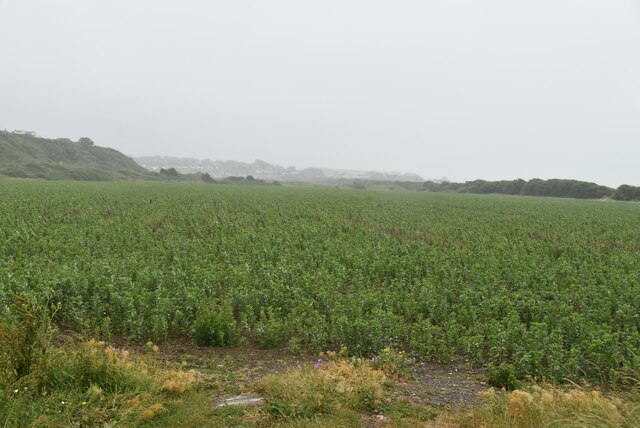
Beacon Hill is known for its diverse flora and fauna, with a variety of plant species and wildlife inhabiting its slopes. The area is particularly popular with birdwatchers, as it hosts a wide range of bird species, including kestrels, buzzards, and various songbirds.
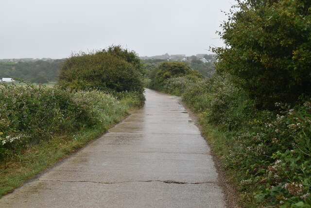
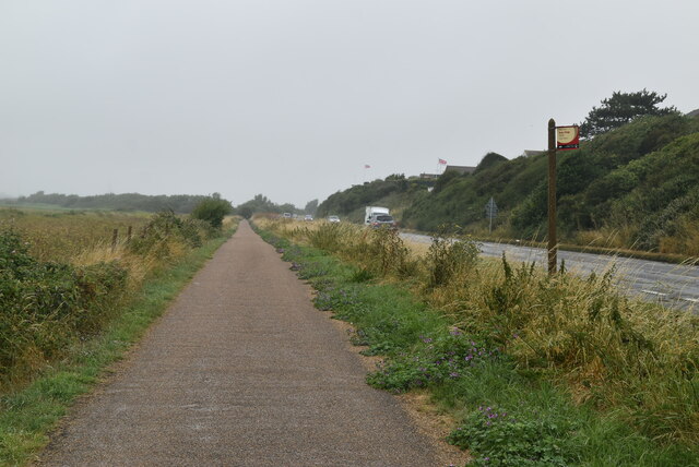
Numerous hiking trails crisscross the hill, making it a favorite destination for outdoor enthusiasts and nature lovers. These paths offer different levels of difficulty, catering to both casual walkers and more experienced hikers. The hill's gentle slopes and well-maintained trails make it easily accessible and enjoyable for visitors of all ages.
In addition to its natural beauty, Beacon Hill also boasts several amenities for visitors. A visitor center provides information about the hill's history, geology, and wildlife, while picnic areas offer a place to relax and take in the stunning views. Parking facilities are available nearby, ensuring convenient access to the site.
Overall, Beacon Hill in Sussex is a picturesque and historically significant destination, offering a combination of natural beauty, recreational activities, and a glimpse into the region's rich past.
If you have any feedback on the listing, please let us know in the comments section below.
Beacon Hill Images
Images are sourced within 2km of 50.796977/0.093353767 or Grid Reference TQ4701. Thanks to Geograph Open Source API. All images are credited.


Beacon Hill is located at Grid Ref: TQ4701 (Lat: 50.796977, Lng: 0.093353767)
Administrative County: East Sussex
District: Lewes
Police Authority: Sussex
What 3 Words
///absorb.floating.plankton. Near Newhaven, East Sussex
Nearby Locations
Related Wikis

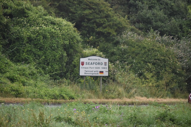
Bishopstone, East Sussex
Bishopstone (also known as BIP) is a village and former civil parish, now in the parish of Seaford, in the Lewes district, in the county of East Sussex...

Bishopstone railway station
Bishopstone railway station is on the western side of the town of Seaford, East Sussex, England. It is situated close to the coast, and about 1 mile (1...

Bishopstone Beach Halt railway station
Bishopstone Beach Halt was a railway station in East Sussex, England that was opened on 1 June 1864 and closed on 1 January 1942. The station was built...

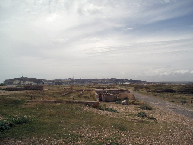
Tide Mills, East Sussex
Tide Mills is a derelict village in East Sussex, England. It lies about two kilometres (1.2 miles) south-east of Newhaven and four kilometres (2.5 miles...
Chailey Heritage Marine Hospital
The ruins of the Chailey Heritage Marine Hospital stand to the seaward side of Tide Mills, east of Newhaven, Sussex, in England. == History == The hospital...
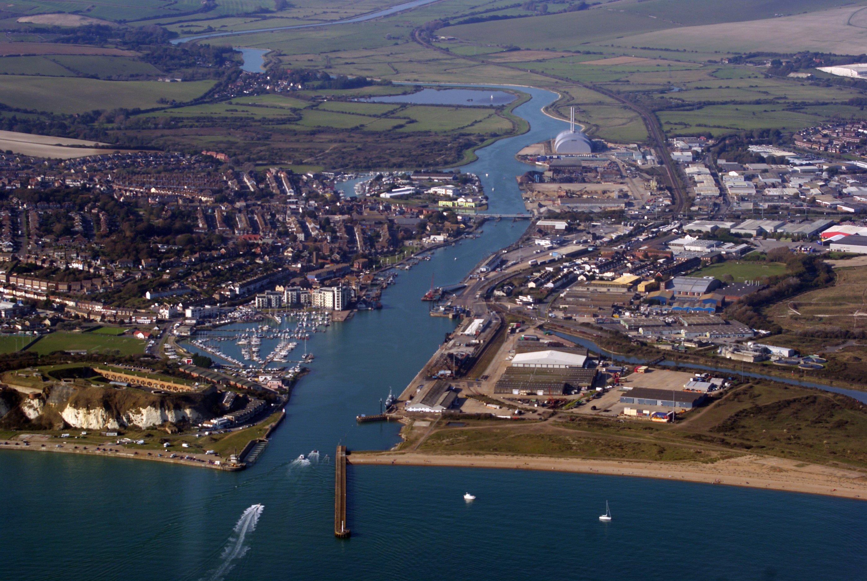
Newhaven, East Sussex
Newhaven is a port town in East Sussex in England, lying at the mouth of the River Ouse. The town developed during the Middle Ages as the nearby port of...
East Blatchington
East Blatchington is a coastal village in East Sussex which has merged into the western part of Seaford, contiguous with Bishopstone, in the civil parish...

Denton, East Sussex
Denton is a small village in the civil parish of Newhaven, in the Lewes district, in the county of East Sussex, England. It adjoins the villages of South...
Nearby Amenities
Located within 500m of 50.796977,0.093353767Have you been to Beacon Hill?
Leave your review of Beacon Hill below (or comments, questions and feedback).