Black Hill
Hill, Mountain in Sussex Wealden
England
Black Hill
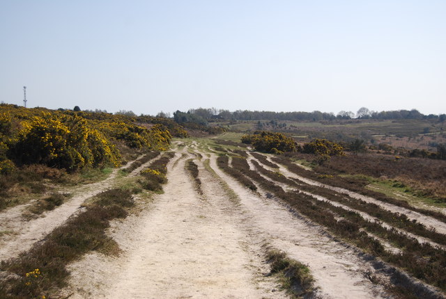
Black Hill is a prominent hill located in the county of Sussex, England. Standing at an elevation of approximately 280 meters (920 feet), it is a popular destination for outdoor enthusiasts, hikers, and nature lovers. The hill is part of the wider South Downs, a range of chalk hills stretching across southern England.
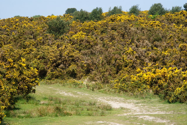
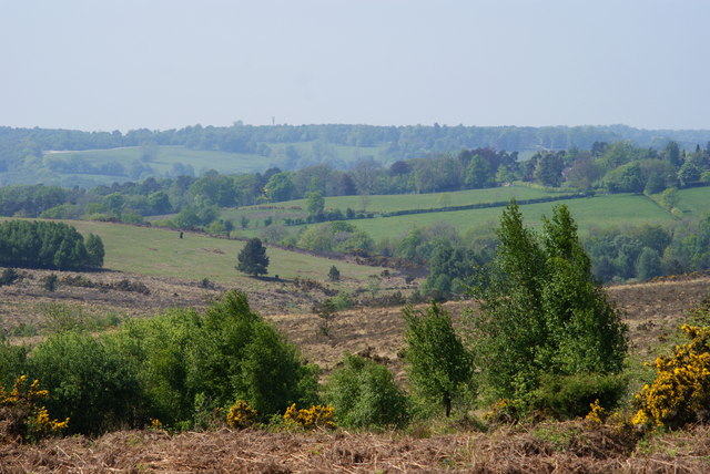
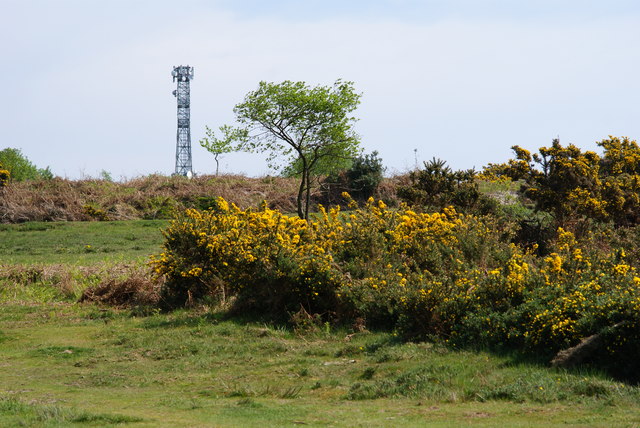
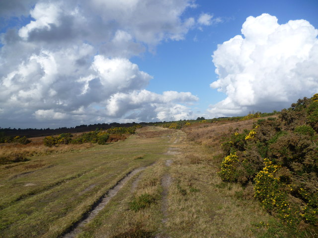
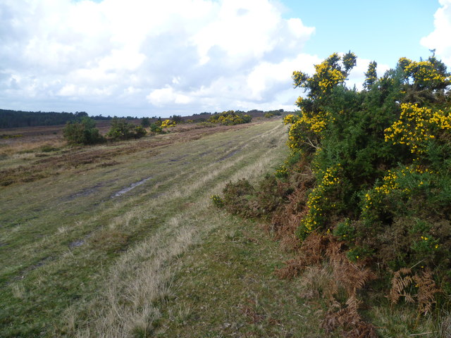
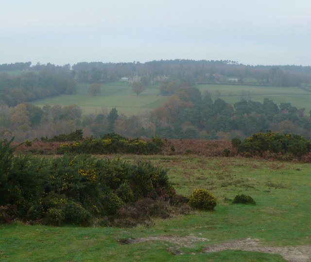
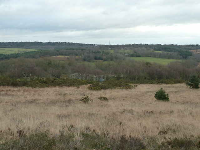
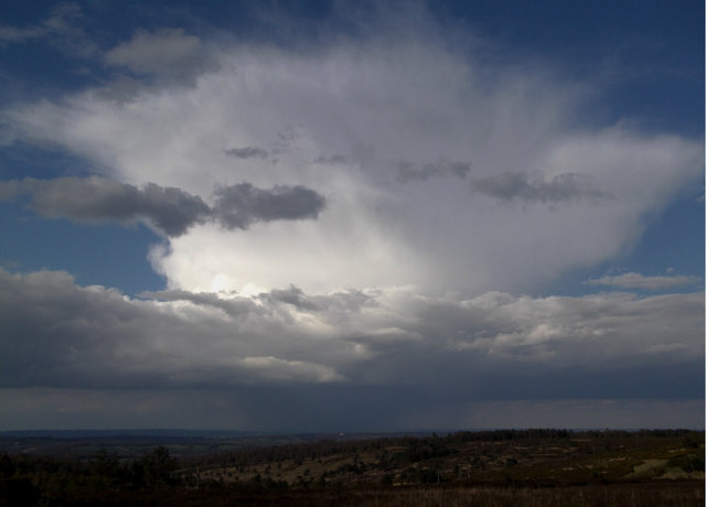
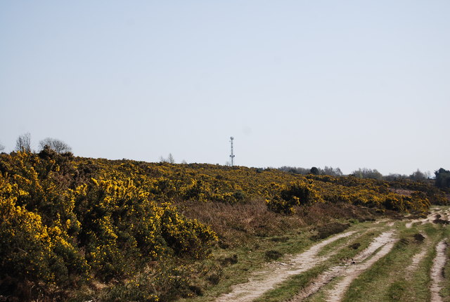
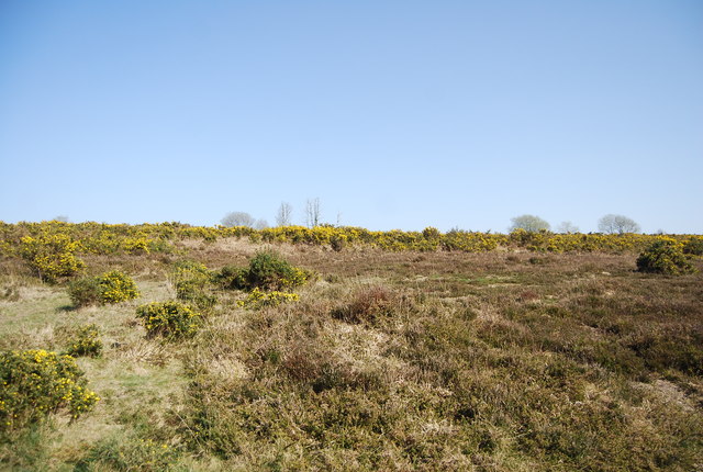
Situated near the village of Washington, Black Hill offers breathtaking panoramic views of the surrounding countryside. On clear days, visitors can enjoy vistas that extend as far as the English Channel to the south and the North Downs to the north. The hill is covered in lush greenery, featuring a diverse range of flora and fauna, making it an excellent spot for wildlife observation.
The area surrounding Black Hill is also rich in history and archaeological significance. It is home to several ancient burial mounds, known as barrows, dating back to the Bronze Age. These barrows provide insight into the prehistoric inhabitants of the region and attract archaeology enthusiasts.
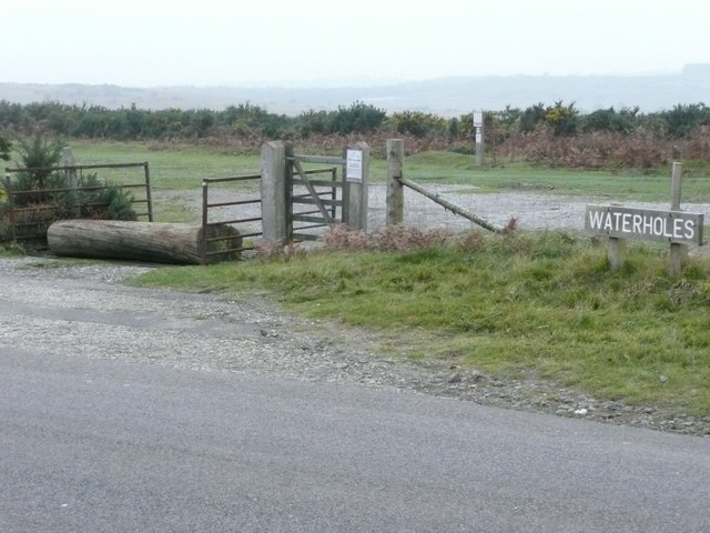
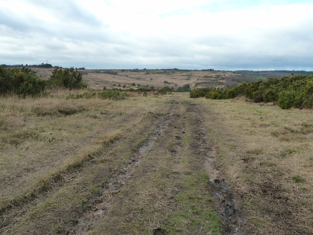
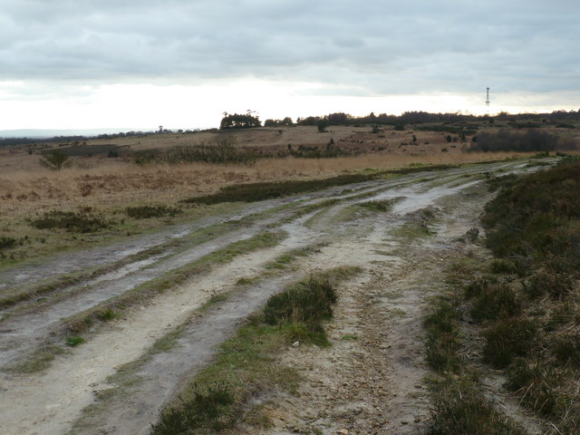
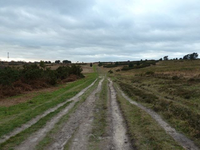
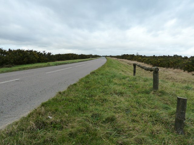
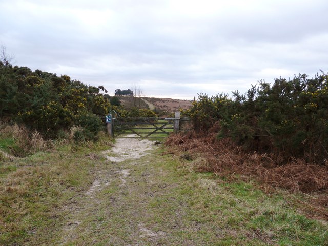
Accessing Black Hill is relatively easy, with multiple footpaths and trails leading to its summit. The hill is a popular destination for walkers, offering a variety of routes to suit different abilities. It is also a favored spot for paragliding and hang gliding due to its favorable wind conditions.
Overall, Black Hill in Sussex offers a blend of natural beauty, historical significance, and recreational opportunities, making it a must-visit destination for those seeking outdoor adventures in the picturesque English countryside.
If you have any feedback on the listing, please let us know in the comments section below.
Black Hill Images
Images are sourced within 2km of 51.060224/0.1025804 or Grid Reference TQ4731. Thanks to Geograph Open Source API. All images are credited.
Black Hill is located at Grid Ref: TQ4731 (Lat: 51.060224, Lng: 0.1025804)
Administrative County: East Sussex
District: Wealden
Police Authority: Sussex
What 3 Words
///shoulders.usages.snatched. Near Crowborough, East Sussex
Nearby Locations
Related Wikis
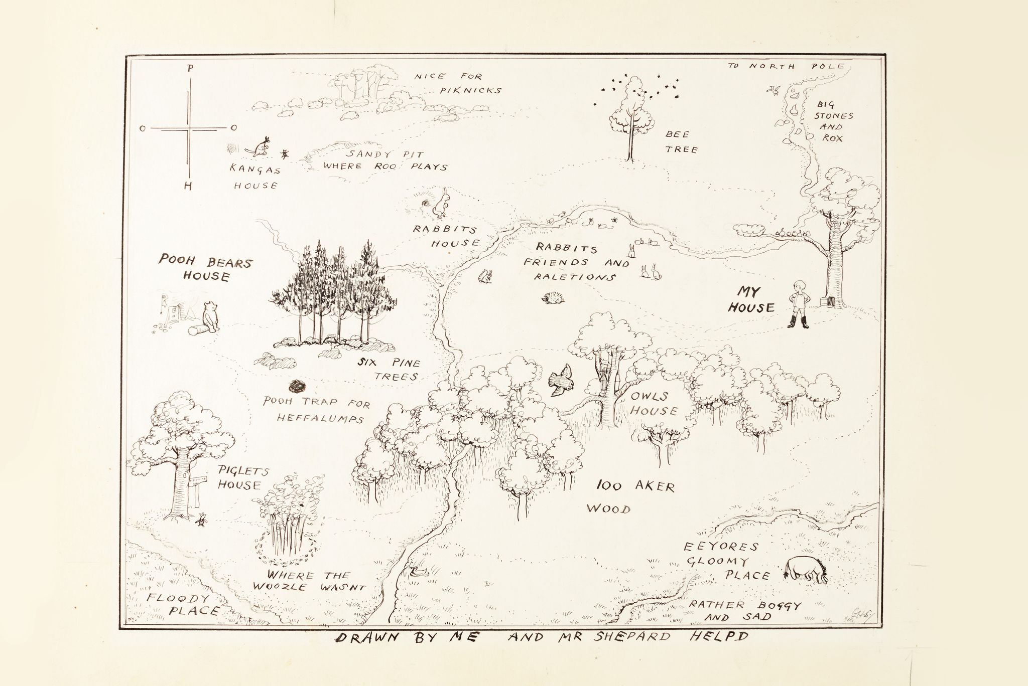
Hundred Acre Wood
The Hundred Acre Wood (also spelled as 100 Aker Wood, Hundred-Acre Wood, and 100 Acre Wood; also known as simply "The Wood") is a part of the fictional...

Old Lodge
Old Lodge is a 103.1-hectare (255-acre) Local Nature Reserve west of Crowborough in East Sussex. It is privately owned. It is managed by Sussex Wildlife...

Aspidistra (transmitter)
Aspidistra was a British medium wave radio transmitter used for black propaganda and military deception purposes against Nazi Germany during World War...
Duddleswell
Duddleswell is a village in the Wealden district, East Sussex in England, United Kingdom.
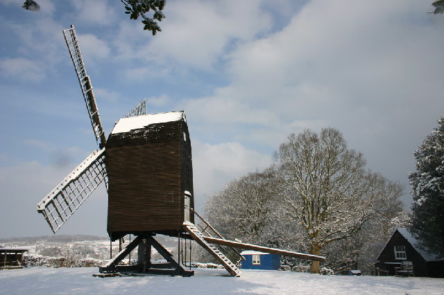
Nutley Windmill
Nutley Windmill is a grade II* listed open trestle post mill at Nutley, East Sussex, England which has been restored to working order. == History == Nutley...

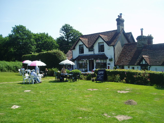
Poundgate
Poundgate is a hamlet in East Sussex on the A26 Uckfield Road at the junction with Chillies Road, just south of Crowborough. It has one pub, the Crow and...

Cotchford Farm
Cotchford Farm is a farmhouse building to the southwest of the village of Hartfield, East Sussex, in the High Weald Area of Outstanding Natural Beauty...
Byline Festival
The Byline Festival is a festival whose aim is to promote independent journalism and free speech. The festival was founded by Stephen Colegrave and Peter...
Nearby Amenities
Located within 500m of 51.060224,0.1025804Have you been to Black Hill?
Leave your review of Black Hill below (or comments, questions and feedback).