Greenwood Gate Clump
Wood, Forest in Sussex Wealden
England
Greenwood Gate Clump
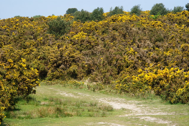
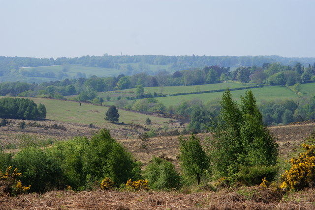
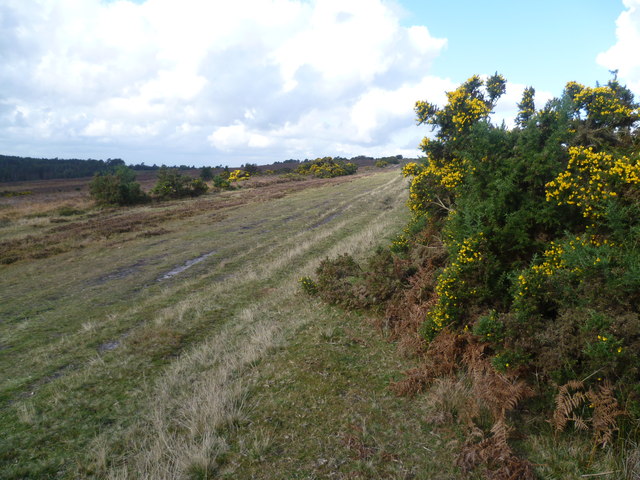
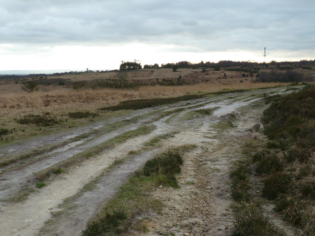
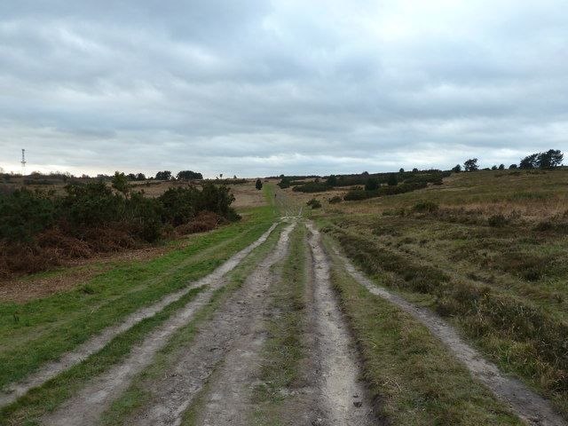
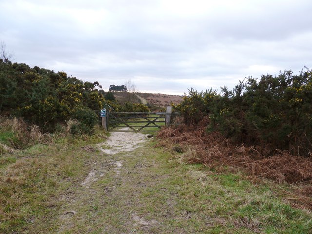
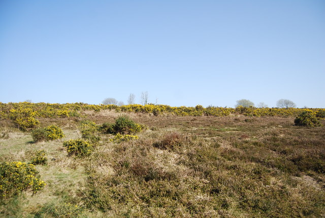
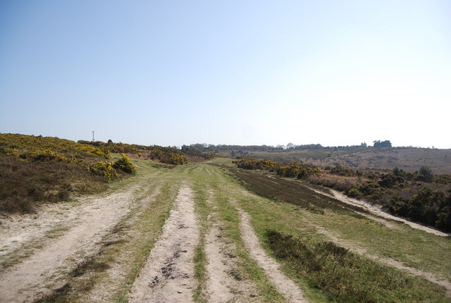
Greenwood Gate Clump is a picturesque woodland located in the county of Sussex, England. Situated near the village of Greenwood Gate, this enchanting forest covers an area of approximately 50 acres. The woodland is characterized by its dense and thriving vegetation, consisting mainly of a variety of deciduous and coniferous trees.
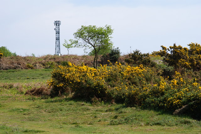
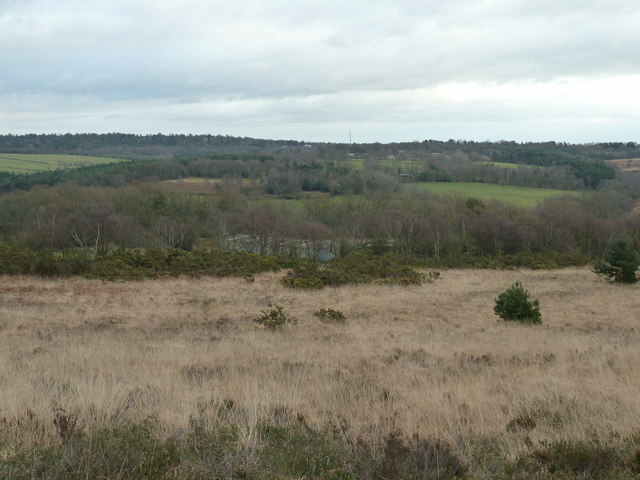
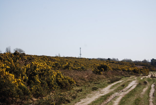
The clump is known for its diverse range of tree species, including oak, beech, ash, and pine. These majestic trees tower over the forest floor, creating a serene and peaceful atmosphere. The woodland is also home to a multitude of wildlife, providing a habitat for various bird species, small mammals, and insects.
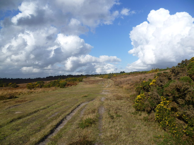
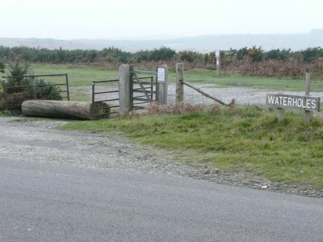
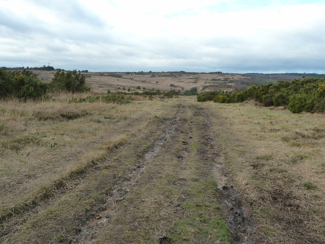
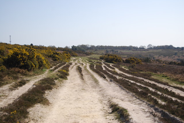
Walking through Greenwood Gate Clump, visitors are greeted with a network of well-maintained footpaths, allowing easy access to explore the forest's hidden treasures. The paths wind their way through the woods, offering glimpses of beautiful wildflowers, ferns, and moss-covered rocks. The dappled sunlight filtering through the tree canopy adds to the magical ambiance of the clump.
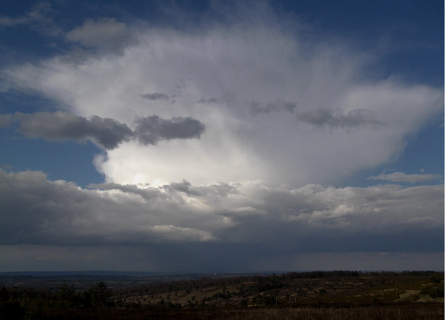
Nature enthusiasts and hikers frequent the clump to enjoy its natural beauty and tranquility. The forest also provides an ideal location for birdwatching and wildlife photography. Throughout the year, the changing seasons bring different colors and scents to the woodland, making it a popular destination for nature lovers.
Greenwood Gate Clump is not only a haven for biodiversity but also a valuable recreational space for locals and visitors alike. Its peaceful surroundings and lush greenery make it a perfect retreat from the hustle and bustle of everyday life, inviting all who visit to immerse themselves in the beauty of nature.
If you have any feedback on the listing, please let us know in the comments section below.
Greenwood Gate Clump Images
Images are sourced within 2km of 51.060391/0.10330153 or Grid Reference TQ4731. Thanks to Geograph Open Source API. All images are credited.
Greenwood Gate Clump is located at Grid Ref: TQ4731 (Lat: 51.060391, Lng: 0.10330153)
Administrative County: East Sussex
District: Wealden
Police Authority: Sussex
What 3 Words
///once.folders.importers. Near Crowborough, East Sussex
Nearby Locations
Related Wikis
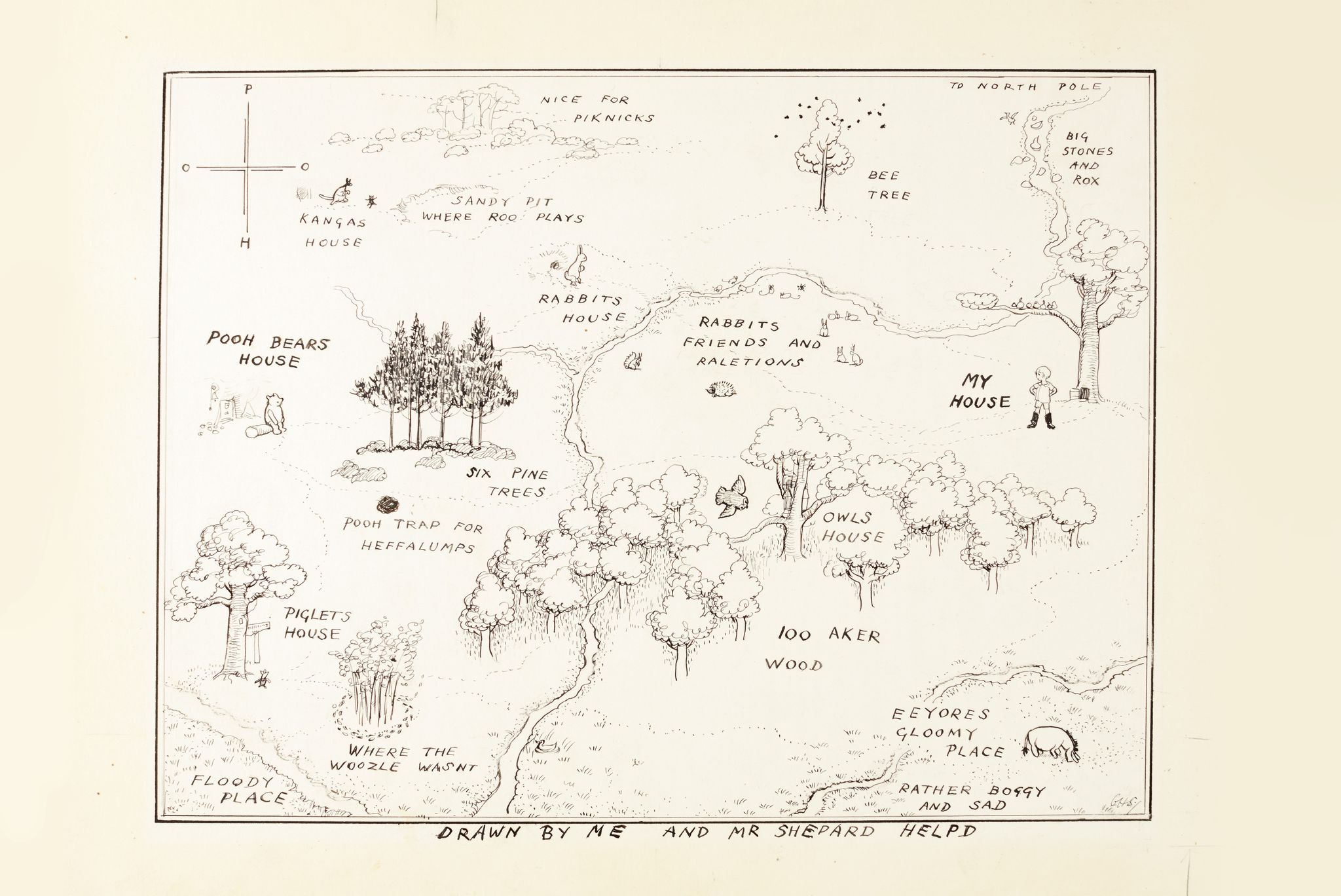
Hundred Acre Wood
The Hundred Acre Wood (also spelled as 100 Aker Wood, Hundred-Acre Wood, and 100 Acre Wood; also known as simply "The Wood") is a part of the fictional...

Old Lodge
Old Lodge is a 103.1-hectare (255-acre) Local Nature Reserve west of Crowborough in East Sussex. It is privately owned. It is managed by Sussex Wildlife...

Aspidistra (transmitter)
Aspidistra was a British medium wave radio transmitter used for black propaganda and military deception purposes against Nazi Germany during World War...
Duddleswell
Duddleswell is a village in the Wealden district, East Sussex in England, United Kingdom.

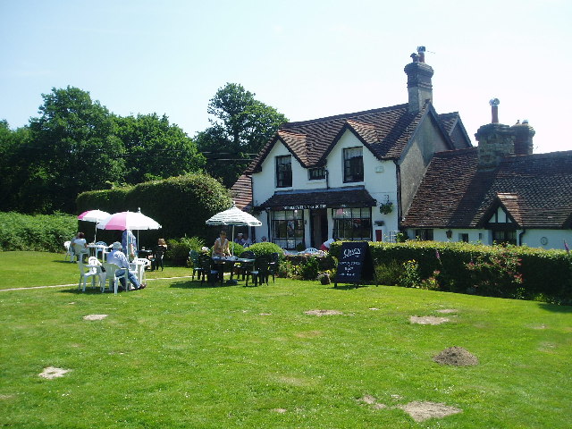
Poundgate
Poundgate is a hamlet in East Sussex on the A26 Uckfield Road at the junction with Chillies Road, just south of Crowborough. It has one pub, the Crow and...
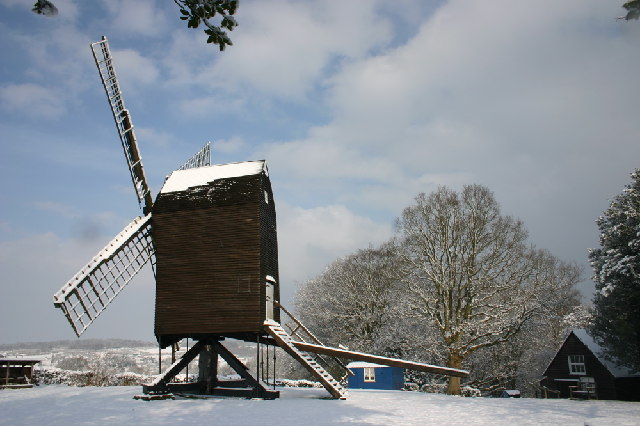
Nutley Windmill
Nutley Windmill is a grade II* listed open trestle post mill at Nutley, East Sussex, England which has been restored to working order. == History == Nutley...

Cotchford Farm
Cotchford Farm is a farmhouse building to the southwest of the village of Hartfield, East Sussex, in the High Weald Area of Outstanding Natural Beauty...
Byline Festival
The Byline Festival is a festival whose aim is to promote independent journalism and free speech. The festival was founded by Stephen Colegrave and Peter...
Related Videos


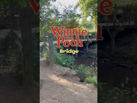
Walking to Winnie The Pooh's Bridge
Walking tour to see Winnie the Pooh's sticks bridge on a beautiful spring day in Ashdown Forest, England.

Nearby Amenities
Located within 500m of 51.060391,0.10330153Have you been to Greenwood Gate Clump?
Leave your review of Greenwood Gate Clump below (or comments, questions and feedback).