Anthony Hill
Hill, Mountain in Essex South Cambridgeshire
England
Anthony Hill
Anthony Hill is a prominent hill located in the county of Essex, England. With a height of approximately 459 feet (140 meters), it is considered one of the highest points in the region. Situated near the village of Little Waltham, the hill offers breathtaking panoramic views of the surrounding countryside and is a popular destination for hikers, nature enthusiasts, and photographers.
The hill is characterized by its gentle slopes and lush greenery, making it an ideal spot for leisurely walks and picnics. It is home to a diverse range of flora and fauna, including rare wildflowers and various bird species, providing ample opportunities for nature exploration and birdwatching.
Anthony Hill is steeped in history, with evidence of ancient settlements dating back to the Iron Age. Archaeological remains, such as burial mounds and earthworks, have been discovered on its slopes, adding to its cultural significance.
The hill is easily accessible, with designated footpaths and trails leading to its summit. On clear days, visitors can enjoy panoramic views stretching as far as the eye can see, encompassing rolling hills, picturesque villages, and even glimpses of the distant coastline.
Overall, Anthony Hill in Essex offers a tranquil and scenic escape from the hustle and bustle of everyday life, providing a perfect opportunity to connect with nature and enjoy the beauty of the English countryside.
If you have any feedback on the listing, please let us know in the comments section below.
Anthony Hill Images
Images are sourced within 2km of 52.051027/0.088427717 or Grid Reference TL4341. Thanks to Geograph Open Source API. All images are credited.


Anthony Hill is located at Grid Ref: TL4341 (Lat: 52.051027, Lng: 0.088427717)
Administrative County: Cambridgeshire
District: South Cambridgeshire
Police Authority: Cambridgeshire
What 3 Words
///wobbles.dangerously.paddle. Near Fowlmere, Cambridgeshire
Nearby Locations
Related Wikis

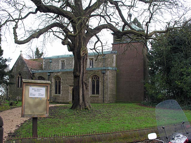
Heydon, Cambridgeshire
Heydon is a village and civil parish in Cambridgeshire, England. The parish of Heydon was transferred from Essex to Cambridgeshire in 1894. The area of...

Great Chishill
Great Chishill is a village and former civil parish, now in the parish of Great and Little Chishill, in the South Cambridgeshire district, in the county...

Chrishall
Chrishall (pronounced Chris hall) is a small village in the English county of Essex. It is located 12 miles (20 km) south of Cambridge and lies equidistant...

Flint Cross
Flint Cross is a hamlet and crossroads in South Cambridgeshire, in the English county of Cambridgeshire. It is in the south of the district, where the...
Fowlmere
Fowlmere is one of the southernmost villages in Cambridgeshire, England. The population of the civil parish at the 2011 Census was 1,206. It is very close...

Elmdon
See also, Elmdon, West Midlands.Elmdon is a village in the civil parish of Elmdon, Duddenhoe End & Wenden Lofts situated in the Uttlesford district of...

Fowlmere Airfield
Fowlmere Airfield (ICAO: EGMA) is a small airfield located 4.2 miles (6.8 km) northeast of Royston, Hertfordshire and 8.8 miles (14.2 km) southwest of...
Barley, Hertfordshire
Barley is a village and civil parish in the district of North Hertfordshire, England. According to the 2001 census, it has a population of 659, increasing...
Nearby Amenities
Located within 500m of 52.051027,0.088427717Have you been to Anthony Hill?
Leave your review of Anthony Hill below (or comments, questions and feedback).