Dry Hill
Hill, Mountain in Surrey Tandridge
England
Dry Hill
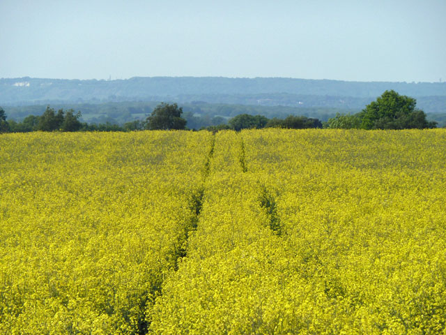
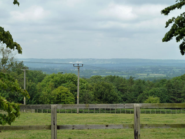
Dry Hill is a prominent hill located in Surrey, England. It is part of the North Downs, a range of chalk hills stretching across southern England. With an elevation of 271 meters (889 feet), Dry Hill offers breathtaking views of the surrounding countryside and is a popular destination for outdoor enthusiasts and nature lovers.
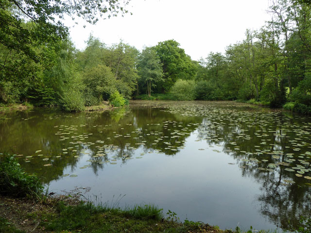
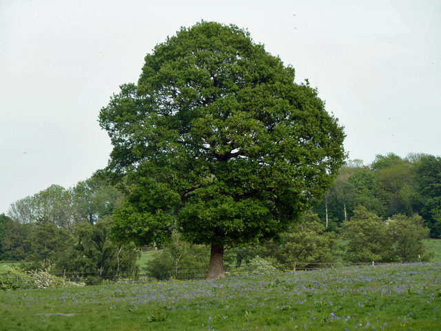
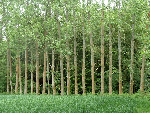
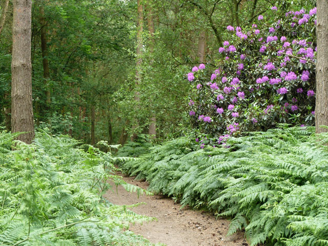
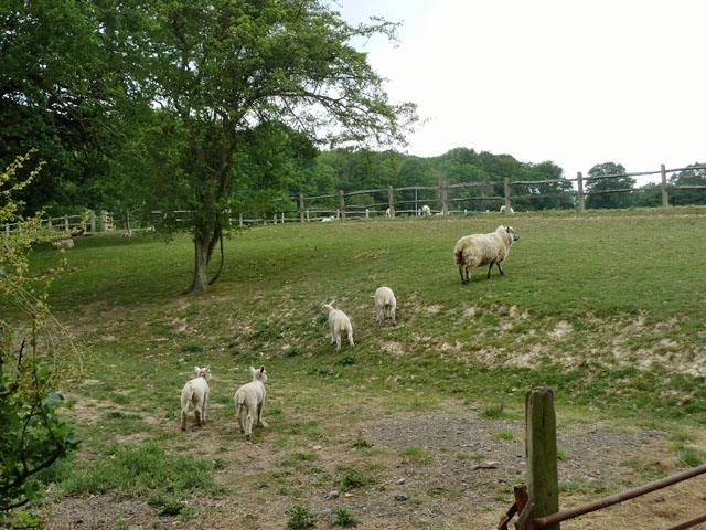
The hill is covered in a mix of grassland and woodland, creating a diverse and vibrant ecosystem. It is home to a variety of flora and fauna, including rare and protected species such as the chalkhill blue butterfly and the yellowhammer bird. The hill's diverse habitat also supports a wide range of wildlife, making it an ideal spot for birdwatching and nature photography.
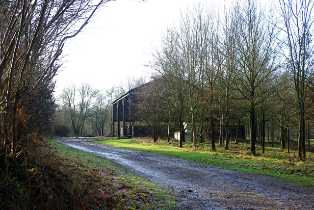
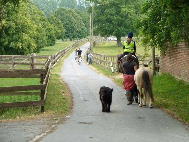
Dry Hill is traversed by several footpaths and trails, allowing visitors to explore its natural beauty at their own pace. The hill is known for its picturesque landscapes, with rolling hills, lush greenery, and vibrant wildflowers in the summer months. The steep slopes of Dry Hill attract hikers and climbers, offering a challenging yet rewarding experience for outdoor adventurers.
In addition to its natural beauty, Dry Hill also has historical significance. It has been a site of human activity for thousands of years, with evidence of prehistoric settlements and ancient burial mounds found in the surrounding area. The hill's rich history adds an extra layer of intrigue and fascination for visitors interested in the region's past.
Overall, Dry Hill in Surrey is a captivating destination that combines natural beauty, biodiversity, and historical significance. Whether visitors are seeking a peaceful walk, a challenging hike, or an opportunity to connect with nature, Dry Hill offers a memorable experience in the heart of the English countryside.
If you have any feedback on the listing, please let us know in the comments section below.
Dry Hill Images
Images are sourced within 2km of 51.155797/0.046287551 or Grid Reference TQ4341. Thanks to Geograph Open Source API. All images are credited.


Dry Hill is located at Grid Ref: TQ4341 (Lat: 51.155797, Lng: 0.046287551)
Administrative County: Surrey
District: Tandridge
Police Authority: Surrey
What 3 Words
///unless.shades.pens. Near Dormansland, Surrey
Nearby Locations
Related Wikis

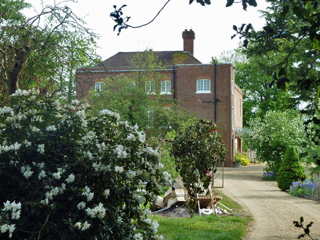
Greathed Manor
Greathed Manor, Dormansland, Surrey, is a Victorian country house. Designed by the architect Robert Kerr in 1862–8, it is a Grade II listed building....

Sundridge with Ide Hill
Sundridge and Ide Hill is a civil parish in the Sevenoaks District of Kent, England. It is located in the Darenth valley and lies between Sevenoaks and...

Hammerwood
Hammerwood is a hamlet in the civil parish of Forest Row in East Sussex, England. Its nearest town is East Grinstead, which lies approximately 3.5 miles...
Starborough Castle
Starborough Castle, known historically as Sterborough Castle, is a Neo-Gothic garden house of dressed sandstone near the eastern boundary of Surrey, built...

Marsh Green, Kent
Marsh Green is a small hamlet in Eden Vale, part of the parish of Edenbridge, England. The hamlet was founded in 1554 under its current name. Marsh Green...

London to Lewes Way
The London to Lewes Way is a 71 kilometres (44 mi) long Roman road between Watling Street at Peckham and Lewes in Sussex. The road passes through Beckenham...

Hammerwood Park
Hammerwood Park is a country house in Hammerwood, near East Grinstead, in East Sussex, England. It is a Grade I listed building. One of the first houses...

Dormansland, Surrey
Dormansland is a large village and civil parish with a low population approximately one mile south of Lingfield in Surrey, England. It was founded in the...
Nearby Amenities
Located within 500m of 51.155797,0.046287551Have you been to Dry Hill?
Leave your review of Dry Hill below (or comments, questions and feedback).