Anthonyhill Plantation
Wood, Forest in Essex South Cambridgeshire
England
Anthonyhill Plantation
Anthonyhill Plantation is a historic estate located in Essex, England. Situated in the picturesque Wood area, the plantation is surrounded by lush forests, offering a serene and tranquil atmosphere. With its origins dating back to the 18th century, Anthonyhill Plantation holds significant historical value.
The plantation covers an expansive area of land, dotted with magnificent trees and greenery. The forest surrounding the estate is home to a diverse range of flora and fauna, making it an ideal spot for nature enthusiasts. Visitors can immerse themselves in the beauty of the woodland, taking leisurely walks and enjoying the peaceful ambiance.
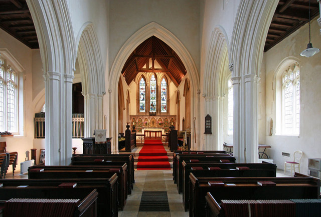
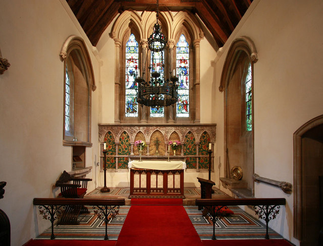
The main house of Anthonyhill Plantation is a grand Georgian-style mansion, showcasing exquisite architecture and elegant design. The mansion boasts spacious rooms, ornate furnishings, and stunning gardens. The interior has been meticulously preserved, offering a glimpse into the lifestyle of the plantation's former residents.
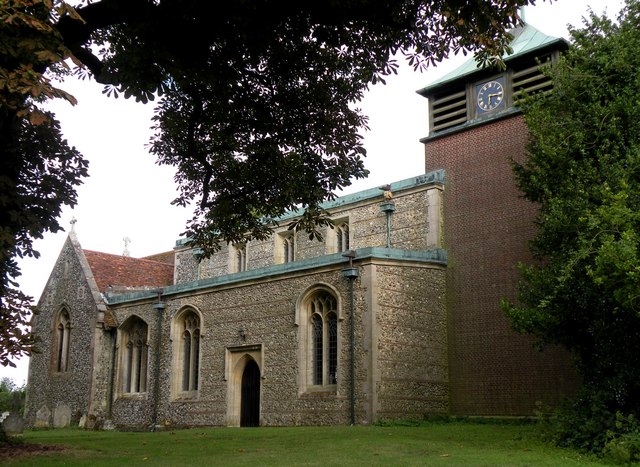
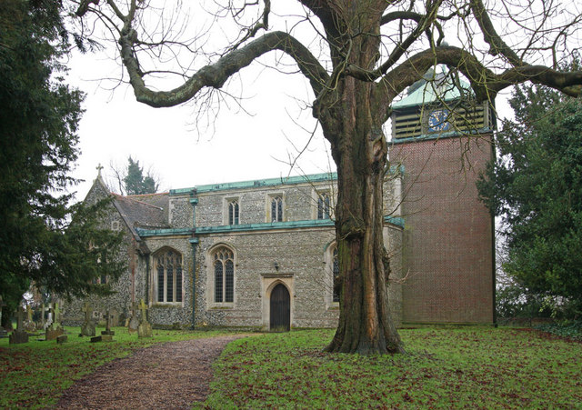
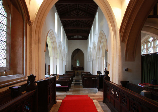
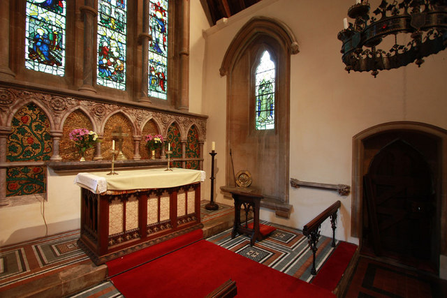
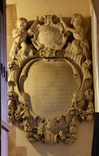
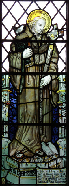
The estate also features several outbuildings, including a carriage house, stables, and a charming chapel. These structures add to the overall charm and character of the plantation. The chapel, in particular, is a significant historical landmark, attracting visitors interested in its architectural beauty and religious significance.
Throughout its history, Anthonyhill Plantation has been associated with notable figures and events. It has served as a residence for prominent families and witnessed significant social and political changes. Today, the plantation stands as a testament to the region's rich heritage and offers visitors an opportunity to step back in time and experience the grandeur of a bygone era.
If you have any feedback on the listing, please let us know in the comments section below.
Anthonyhill Plantation Images
Images are sourced within 2km of 52.053698/0.088916935 or Grid Reference TL4341. Thanks to Geograph Open Source API. All images are credited.


Anthonyhill Plantation is located at Grid Ref: TL4341 (Lat: 52.053698, Lng: 0.088916935)
Administrative County: Cambridgeshire
District: South Cambridgeshire
Police Authority: Cambridgeshire
What 3 Words
///simulator.uniform.innovate. Near Fowlmere, Cambridgeshire
Nearby Locations
Related Wikis

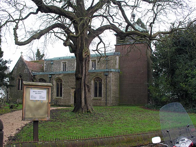
Heydon, Cambridgeshire
Heydon is a village and civil parish in Cambridgeshire, England. The parish of Heydon was transferred from Essex to Cambridgeshire in 1894. The area of...

Great Chishill
Great Chishill is a village and former civil parish, now in the parish of Great and Little Chishill, in the South Cambridgeshire district, in the county...

Chrishall
Chrishall (pronounced Chris hall) is a small village in the English county of Essex. It is located 12 miles (20 km) south of Cambridge and lies equidistant...

Flint Cross
Flint Cross is a hamlet and crossroads in South Cambridgeshire, in the English county of Cambridgeshire. It is in the south of the district, where the...
Fowlmere
Fowlmere is one of the southernmost villages in Cambridgeshire, England. The population of the civil parish at the 2011 Census was 1,206. It is very close...

Elmdon
See also, Elmdon, West Midlands.Elmdon is a village in the civil parish of Elmdon, Duddenhoe End & Wenden Lofts situated in the Uttlesford district of...

Fowlmere Airfield
Fowlmere Airfield (ICAO: EGMA) is a small airfield located 4.2 miles (6.8 km) northeast of Royston, Hertfordshire and 8.8 miles (14.2 km) southwest of...

Goffers Knoll
Goffers Knoll is a prominent knoll on the Hertfordshire-Cambridgeshire border in the east of England, to the east of the town of Royston and south of Melbourn...
Nearby Amenities
Located within 500m of 52.053698,0.088916935Have you been to Anthonyhill Plantation?
Leave your review of Anthonyhill Plantation below (or comments, questions and feedback).