Broomy Shaw

Wood, Forest in Sussex Lewes

England

Broomy Shaw

Broomlye Oast
Broomlye Oast Credit: N Chadwick

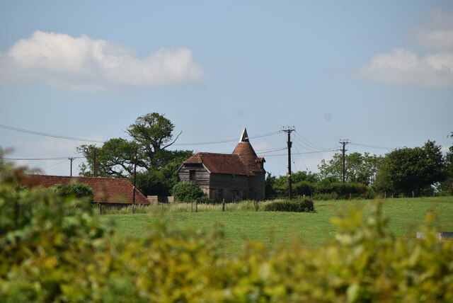
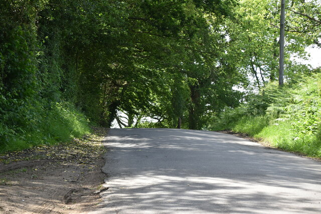
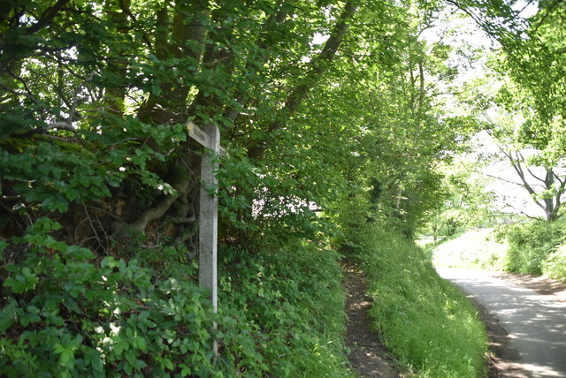
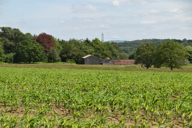
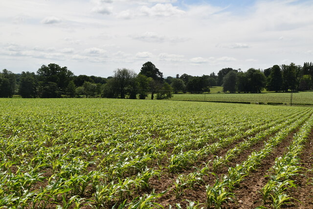
Broomy Shaw is a picturesque woodland area located in Sussex, England. Nestled within the heart of the South Downs National Park, this enchanting forest offers visitors an escape into nature, with its dense canopy of trees, tranquil atmosphere, and diverse wildlife.

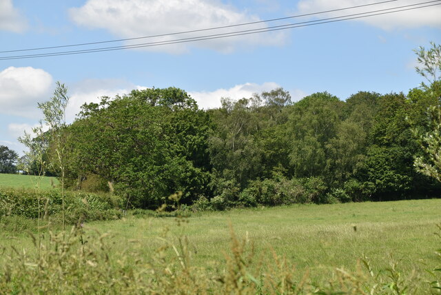
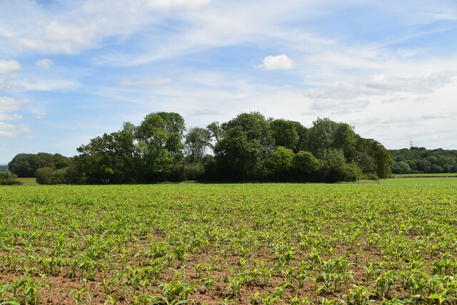
Covering an area of approximately 100 acres, Broomy Shaw is primarily composed of deciduous trees, including oak, beech, and birch, which create a stunning tapestry of colors during the autumn months. The forest floor is carpeted with a variety of wildflowers, such as bluebells and primroses, adding to its natural beauty.

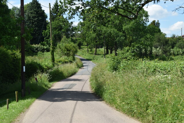
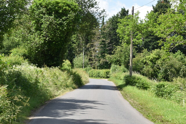
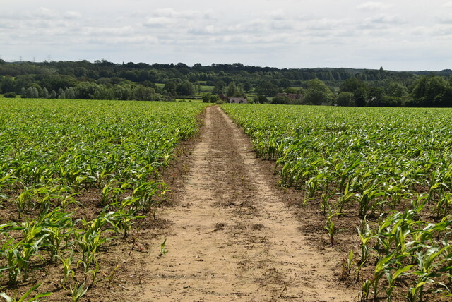
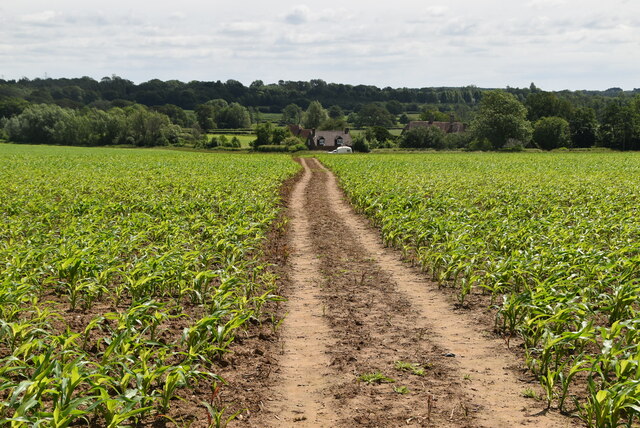
The woodland is crisscrossed by a network of well-maintained trails, providing ample opportunities for hiking and exploration. Nature enthusiasts and birdwatchers will find Broomy Shaw to be a haven, as it is home to a wide range of bird species, including woodpeckers, owls, and various warblers. Foxes, badgers, and deer are among the mammals that can also be spotted within the forest.

Broomy Shaw is a popular destination for both locals and tourists, who come to enjoy the tranquility and serenity it offers. The forest is a great place for families to have a picnic, with designated areas equipped with benches and tables. Additionally, there are several designated camping spots for those who wish to spend the night under the stars.

Overall, Broomy Shaw is a delightful woodland area that showcases the natural beauty of Sussex. Its abundant flora and fauna, coupled with its accessibility and recreational opportunities, make it a must-visit destination for nature lovers and outdoor enthusiasts alike.

If you have any feedback on the listing, please let us know in the comments section below.
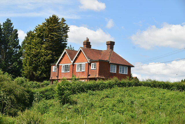
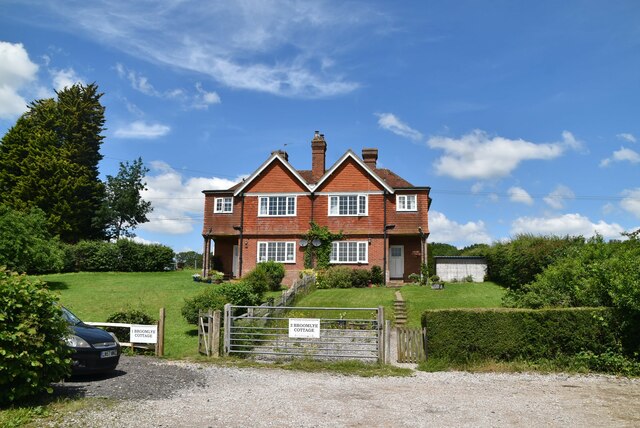
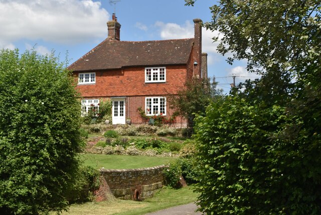
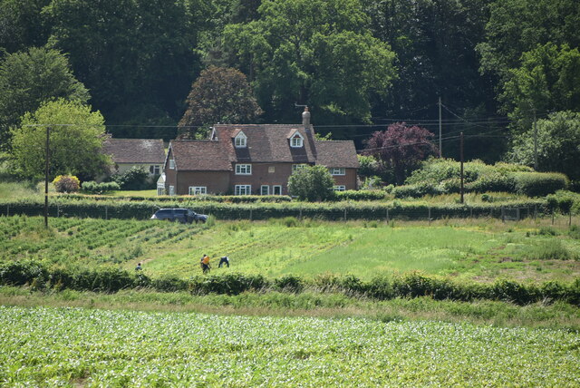
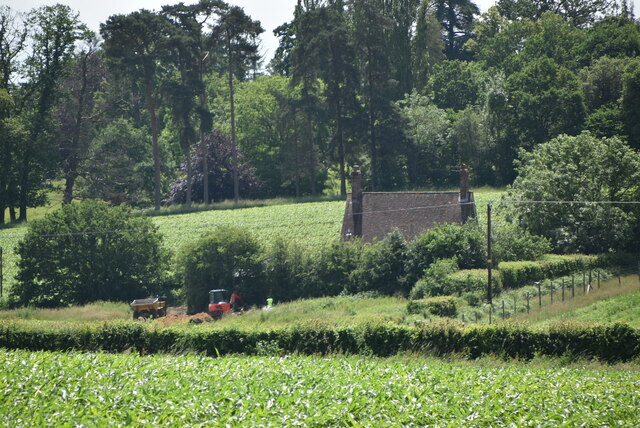
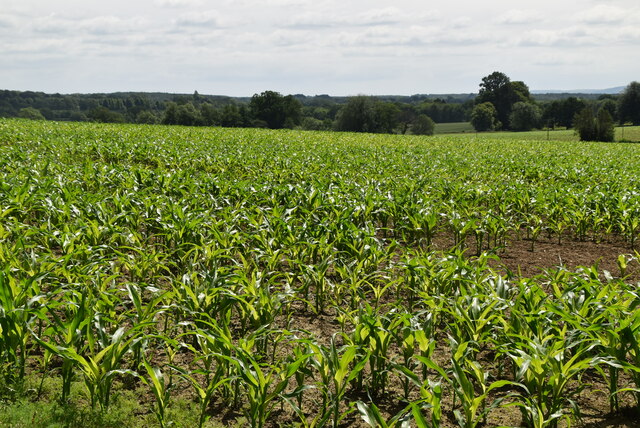
Broomy Shaw Images

Images are sourced within 2km of 50.966179/0.039737902 or Grid Reference TQ4320. Thanks to Geograph Open Source API. All images are credited.

Broomlye Oast
Broomlye Oast
Sharpbridge Lane
Sharpbridge Lane
Woodland
Woodland
Sharpbridge Lane
Sharpbridge Lane
Broomlye Cottage
Broomlye Cottage
Broomlye Cottage
Broomlye Cottage
Broomlye Listed buildings and structures are officially designated as being of special architectural, historical or cultural significance. There are over half a million listed structures in the United Kingdom, covered by around 375,000 listings.
Listed status is more commonly associated with buildings or groups of buildings, however it can cover many other structures, including bridges, headstones, steps, ponds, monuments, walls, phone boxes, wrecks, parks, and heritage sites, and in more recent times a road crossing (Abbey Road) and graffiti art (Banksy 'Spy-booth') have been included.

In England and Wales there are three main listing designations;
Grade I (2.5%) - exceptional interest, sometimes considered to be internationally important.
Grade II* (5.5%) - particularly important buildings of more than special interest. 
Grade II (92%) - nationally important and of special interest. 

There are also locally listed structures (at the discretion of local authorities) using A, B and C designations.

In Scotland three classifications are also used but the criteria are different. There are around 47,500 Listed buildings.
Category A (8%)- generally equivalent to Grade I and II* in England and Wales
Category B (51%)- this appears generally to cover the ground of Grade II, recognising national importance.
Category C (41%)- buildings of local importance, probably with some overlap with English Grade II.

In Northern Ireland the criteria are similar to Scotland, but the classifications are:
Grade A (2.3%)
Grade B+ (4.7%)
Grade B (93%)

Read more at Wikipedia <span class="nowrap"><a title="http://en.wikipedia.org/wiki/Listed_building" rel="nofollow ugc noopener" href="http://en.wikipedia.org/wiki/Listed_building">Link</a><img style="margin-left:2px;" alt="External link" title="External link - shift click to open in new window" src="https://s1.geograph.org.uk/img/external.png" width="10" height="10"/></span>
Broomlye
Listed buildings and structures are officially designated as being of special architectural, historical or cultural significance. There are over half a million listed structures in the United Kingdom, covered by around 375,000 listings. Listed status is more commonly associated with buildings or groups of buildings, however it can cover many other structures, including bridges, headstones, steps, ponds, monuments, walls, phone boxes, wrecks, parks, and heritage sites, and in more recent times a road crossing (Abbey Road) and graffiti art (Banksy 'Spy-booth') have been included. In England and Wales there are three main listing designations; Grade I (2.5%) - exceptional interest, sometimes considered to be internationally important. Grade II* (5.5%) - particularly important buildings of more than special interest. Grade II (92%) - nationally important and of special interest. There are also locally listed structures (at the discretion of local authorities) using A, B and C designations. In Scotland three classifications are also used but the criteria are different. There are around 47,500 Listed buildings. Category A (8%)- generally equivalent to Grade I and II* in England and Wales Category B (51%)- this appears generally to cover the ground of Grade II, recognising national importance. Category C (41%)- buildings of local importance, probably with some overlap with English Grade II. In Northern Ireland the criteria are similar to Scotland, but the classifications are: Grade A (2.3%) Grade B+ (4.7%) Grade B (93%) Read more at Wikipedia LinkExternal link
Sharpbridge Lane
Sharpbridge Lane
Sussex Ouse Valley Way Opened in 2005, the Sussex Ouse Valley Way is a beautiful 42 mile journey that broadly follows the River Ouse from its source close to Lower Beeding in the High Weald to the sea at Seaford Bay. It is signed using a picture of the Ouse Valley Viaduct. Website: <span class="nowrap"><a title="http://www.sussexousevalleyway.co.uk/index.htm" rel="nofollow ugc noopener" href="http://www.sussexousevalleyway.co.uk/index.htm">Link</a><img style="margin-left:2px;" alt="External link" title="External link - shift click to open in new window" src="https://s1.geograph.org.uk/img/external.png" width="10" height="10"/></span>
Sussex Ouse Valley Way
Opened in 2005, the Sussex Ouse Valley Way is a beautiful 42 mile journey that broadly follows the River Ouse from its source close to Lower Beeding in the High Weald to the sea at Seaford Bay. It is signed using a picture of the Ouse Valley Viaduct. Website: LinkExternal link
Gipp's Farm
Gipp's Farm
Rural cottage
Rural cottage
Young maize
Young maize
Bunce's Farm
Bunce's Farm
Sussex Ouse Valley Way Opened in 2005, the Sussex Ouse Valley Way is a beautiful 42 mile journey that broadly follows the River Ouse from its source close to Lower Beeding in the High Weald to the sea at Seaford Bay. It is signed using a picture of the Ouse Valley Viaduct. Website: <span class="nowrap"><a title="http://www.sussexousevalleyway.co.uk/index.htm" rel="nofollow ugc noopener" href="http://www.sussexousevalleyway.co.uk/index.htm">Link</a><img style="margin-left:2px;" alt="External link" title="External link - shift click to open in new window" src="https://s1.geograph.org.uk/img/external.png" width="10" height="10"/></span>
Sussex Ouse Valley Way
Opened in 2005, the Sussex Ouse Valley Way is a beautiful 42 mile journey that broadly follows the River Ouse from its source close to Lower Beeding in the High Weald to the sea at Seaford Bay. It is signed using a picture of the Ouse Valley Viaduct. Website: LinkExternal link
Maize Maize is a cereal crop, indigenous to the Americas. In Britain it is usually called corn. <span class="nowrap"><a title="http://en.wikipedia.org/wiki/Maize" rel="nofollow ugc noopener" href="http://en.wikipedia.org/wiki/Maize">Link</a><img style="margin-left:2px;" alt="External link" title="External link - shift click to open in new window" src="https://s1.geograph.org.uk/img/external.png" width="10" height="10"/></span>
Maize
Maize is a cereal crop, indigenous to the Americas. In Britain it is usually called corn. LinkExternal link
Sussex Ouse Valley Way Opened in 2005, the Sussex Ouse Valley Way is a beautiful 42 mile journey that broadly follows the River Ouse from its source close to Lower Beeding in the High Weald to the sea at Seaford Bay. It is signed using a picture of the Ouse Valley Viaduct. Website: <span class="nowrap"><a title="http://www.sussexousevalleyway.co.uk/index.htm" rel="nofollow ugc noopener" href="http://www.sussexousevalleyway.co.uk/index.htm">Link</a><img style="margin-left:2px;" alt="External link" title="External link - shift click to open in new window" src="https://s1.geograph.org.uk/img/external.png" width="10" height="10"/></span>
Sussex Ouse Valley Way
Opened in 2005, the Sussex Ouse Valley Way is a beautiful 42 mile journey that broadly follows the River Ouse from its source close to Lower Beeding in the High Weald to the sea at Seaford Bay. It is signed using a picture of the Ouse Valley Viaduct. Website: LinkExternal link
Woodland in maize
Woodland in maize
Maize Maize is a cereal crop, indigenous to the Americas. In Britain it is usually called corn. <span class="nowrap"><a title="http://en.wikipedia.org/wiki/Maize" rel="nofollow ugc noopener" href="http://en.wikipedia.org/wiki/Maize">Link</a><img style="margin-left:2px;" alt="External link" title="External link - shift click to open in new window" src="https://s1.geograph.org.uk/img/external.png" width="10" height="10"/></span>
Maize
Maize is a cereal crop, indigenous to the Americas. In Britain it is usually called corn. LinkExternal link
Show me another place!

Broomy Shaw is located at Grid Ref: TQ4320 (Lat: 50.966179, Lng: 0.039737902)

Administrative County: East Sussex

District: Lewes

Police Authority: Sussex

What 3 Words

///renews.engrossed.excellent. Near Newick, East Sussex

Related Wikis

Piltdown

Piltdown is a series of hamlets in East Sussex, England, located south of Ashdown Forest. It is best known for the Piltdown Man hoax where amateur archaeologist...

Newick

Newick is a village, civil parish and electoral ward in the Lewes District of East Sussex, England. It is located on the A272 road six miles (9.7 km) east...

Zion Chapel, Newick

Zion Chapel is a former Strict Baptist place of worship in the village of Newick in Lewes District, one of six local government districts in the English...

Fletching, East Sussex

Fletching is a village and civil parish in the Wealden District of East Sussex, England. It is located three miles (4.8 km) to the north-west of Uckfield...

Piltdown Man

The Piltdown Man was a paleoanthropological fraud in which bone fragments were presented as the fossilised remains of a previously unknown early human...

River Uck

The River Uck is a river in East Sussex, United Kingdom, which drains a catchment starting near Crowborough in the North, Hadlow Down to the East and Laughton...

West Park, Uckfield

West Park is a 10.5-hectare (26-acre) Local Nature Reserve on the western outskirts of Uckfield in East Sussex. It is owned and managed by Uckfield Town...

Newick and Chailey railway station

Newick and Chailey was a railway station located in North Chailey and located near the villages of Newick and Chailey in East Sussex, England. It was part...

Nearby Amenities

Located within 500m of 50.966179,0.039737902
Power: tower
Lat/Long: 50.9696335/0.0422208
Barrier: stile
Stile: squeezer
Lat/Long: 50.9678214/0.0365887
Barrier: stile
Stile: squeezer
Lat/Long: 50.9676649/0.0368489
Barrier: stile
Stile: squeezer
Lat/Long: 50.9658058/0.039088
The data included in this document is from www.openstreetmap.org. The data is made available under ODbL.

Have you been to Broomy Shaw?

Leave your review of Broomy Shaw below (or comments, questions and feedback).