Deadman's Hill
Hill, Mountain in Huntingdonshire Huntingdonshire
England
Deadman's Hill
Deadman's Hill, located in Huntingdonshire, is a prominent geographical feature that stands as a testament to the region's rich history and natural beauty. Standing at an elevation of 400 feet, this hill is known for its commanding views of the picturesque surrounding countryside.
Characterized by its steep slopes and verdant vegetation, Deadman's Hill offers a challenging yet rewarding hiking experience for outdoor enthusiasts. The hill is covered in a mix of grasses, heather, and shrubs, providing habitat for a variety of wildlife such as birds, foxes, and rabbits. It is not uncommon to spot rare species of butterflies fluttering around the hill's wildflowers during the warmer months.
The history of Deadman's Hill adds an extra layer of intrigue to its allure. Legend has it that the name originated from a tragic incident that occurred in the past, though the exact details remain shrouded in mystery. Nevertheless, the name has endured, further adding to the hill's mystique.
For visitors seeking a tranquil escape from the hustle and bustle of city life, Deadman's Hill offers a serene retreat. The hill's remote location ensures a peaceful atmosphere, allowing visitors to immerse themselves in the tranquil sounds of nature and enjoy breathtaking panoramic views.
Deadman's Hill is a hidden gem in Huntingdonshire, beckoning nature lovers and history enthusiasts alike. With its rugged terrain, diverse flora and fauna, and intriguing folklore, this hill is a must-visit destination for those seeking adventure, solitude, and a deeper connection with the natural world.
If you have any feedback on the listing, please let us know in the comments section below.
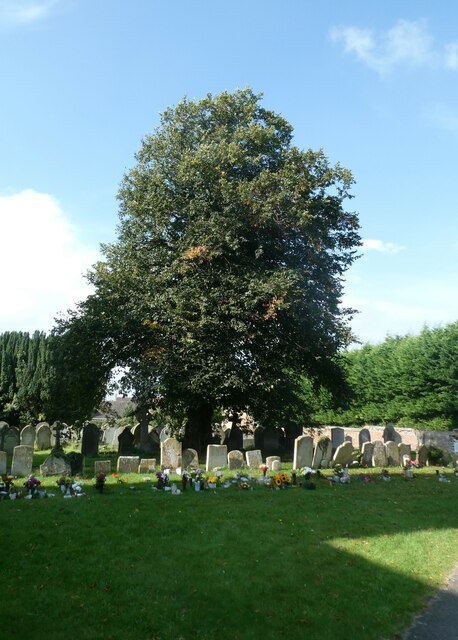
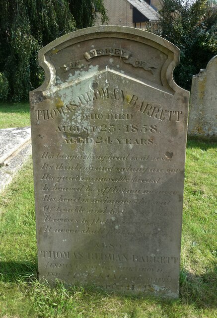
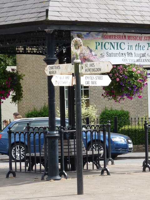
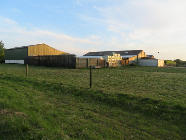
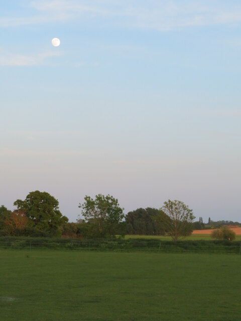
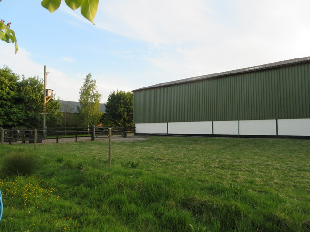
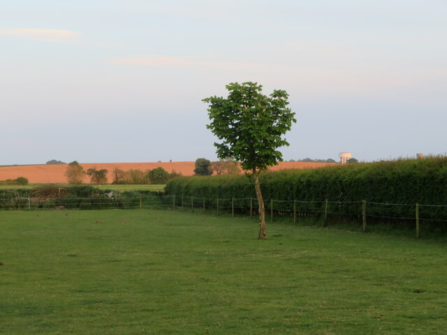
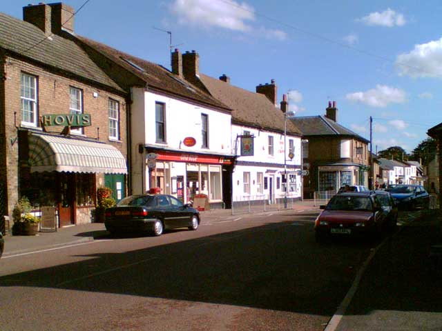
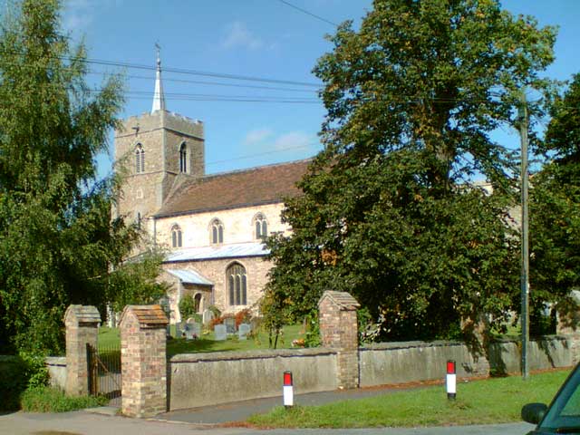
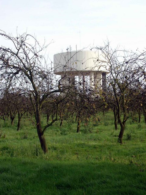
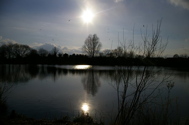
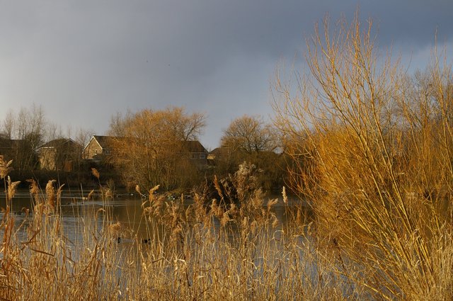
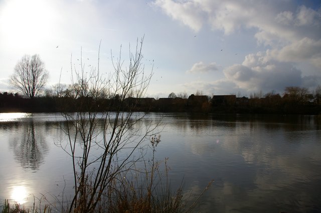
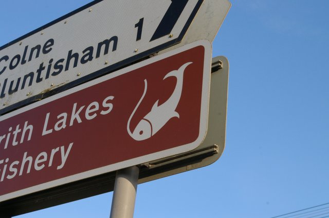
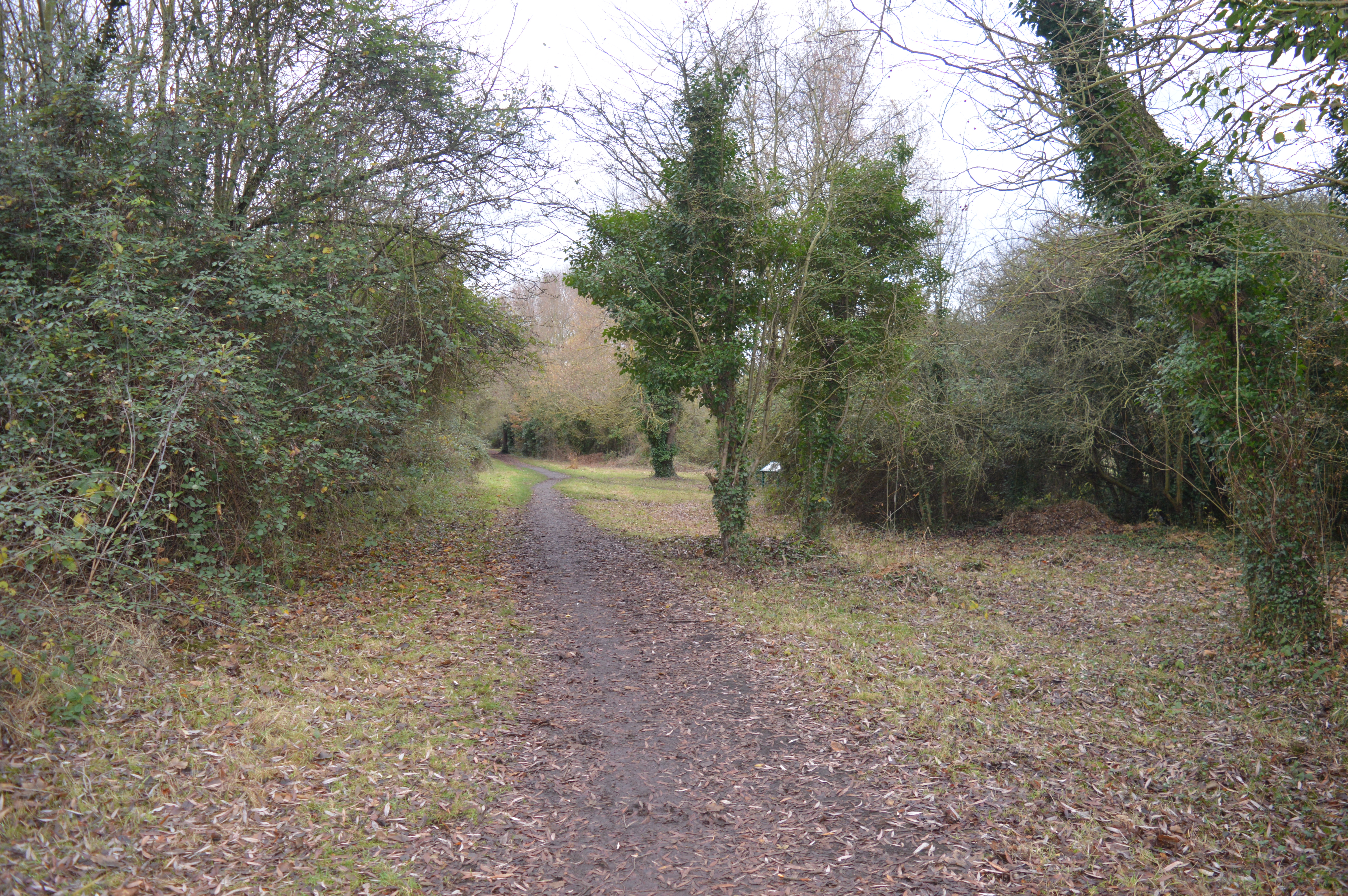
Deadman's Hill Images
Images are sourced within 2km of 52.373197/0.00955803 or Grid Reference TL3676. Thanks to Geograph Open Source API. All images are credited.
Deadman's Hill is located at Grid Ref: TL3676 (Lat: 52.373197, Lng: 0.00955803)
Administrative County: Cambridgeshire
District: Huntingdonshire
Police Authority: Cambridgeshire
What 3 Words
///stormy.unite.will. Near Somersham, Cambridgeshire
Nearby Locations
Related Wikis

Somersham railway station
Somersham railway station was a station in Somersham, Cambridgeshire on the Great Eastern Railway between March and St Ives. There was also a branch line...

Somersham
Somersham is a village and civil parish in Cambridgeshire, England. Somersham lies approximately 9 miles (14 km) east of Huntingdon and 4 miles (6 km)...
Somersham Local Nature Reserve
Somersham Local Nature Reserve is an 8.9 hectare Local Nature Reserve in Somersham in Cambridgeshire. It is owned and managed by Cambridgeshire County...

Somersham Town F.C.
Somersham Town Football Club is a football club based in Somersham, near St Ives in Cambridgeshire, England. They club are members of the Cambridgeshire...

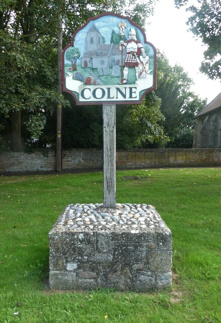
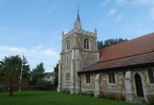
Colne, Cambridgeshire
Colne is a village and civil parish in Cambridgeshire, England. Colne lies about 9 miles (14 km) east of Huntingdon; the villages of Bluntisham, Woodhurst...

Berry Fen
Berry Fen is a 15.3-hectare (38-acre) biological Site of Special Scientific Interest on the western outskirts of Earith in Cambridgeshire.This neutral...

Bluntisham
Bluntisham is a village and civil parish in Cambridgeshire, England. The population of the civil parish at the 2011 census was 2,003. Bluntisham lies approximately...
Earith
Earith is a village and civil parish in Cambridgeshire, England. Lying approximately 10 miles (16 km) east of Huntingdon, Earith is situated within Huntingdonshire...
Nearby Amenities
Located within 500m of 52.373197,0.00955803Have you been to Deadman's Hill?
Leave your review of Deadman's Hill below (or comments, questions and feedback).