Colne Green

Downs, Moorland in Huntingdonshire Huntingdonshire

England

Colne Green

Village sign, Colne
Village sign, Colne Credit: Basher Eyre

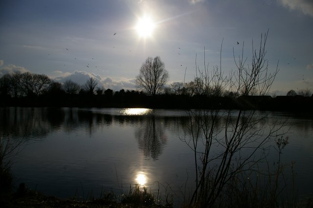
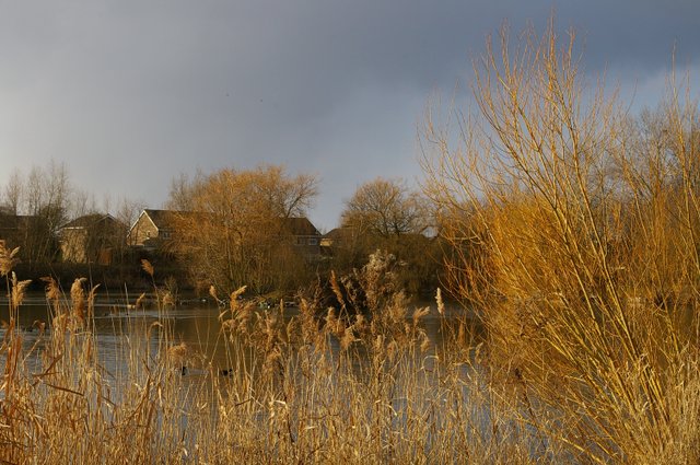
Colne Green is a charming village located in Huntingdonshire, a district in Cambridgeshire, England. Nestled amidst the picturesque Downs and Moorland, this tranquil village offers stunning natural beauty and a peaceful atmosphere.

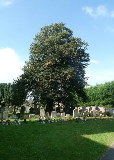
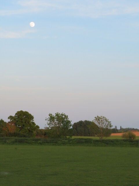
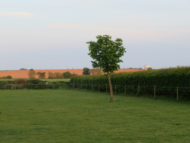
The Downs in Colne Green are characterized by rolling hills and sprawling meadows, providing a perfect backdrop for outdoor activities such as hiking, picnicking, and enjoying scenic walks. The expansive moorland, on the other hand, showcases a diverse array of flora and fauna, making it a popular spot for nature enthusiasts and bird watchers.

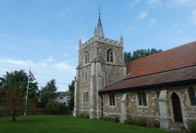
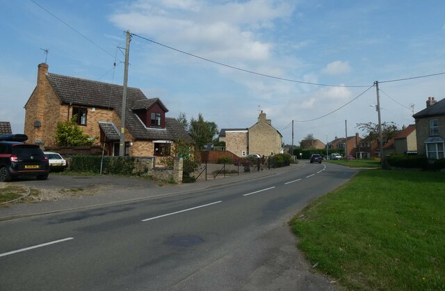
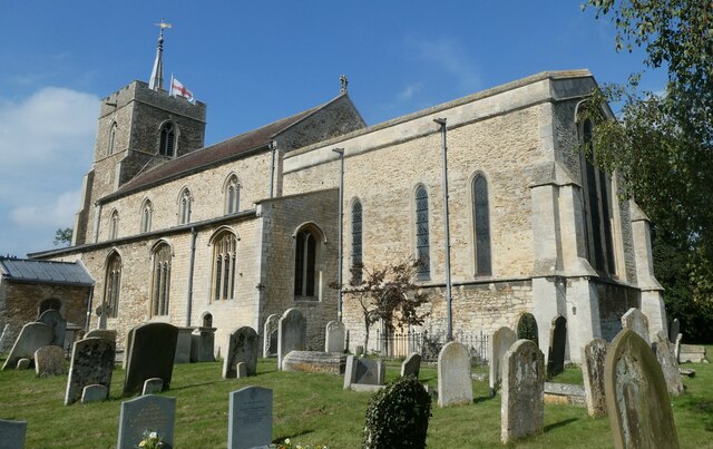
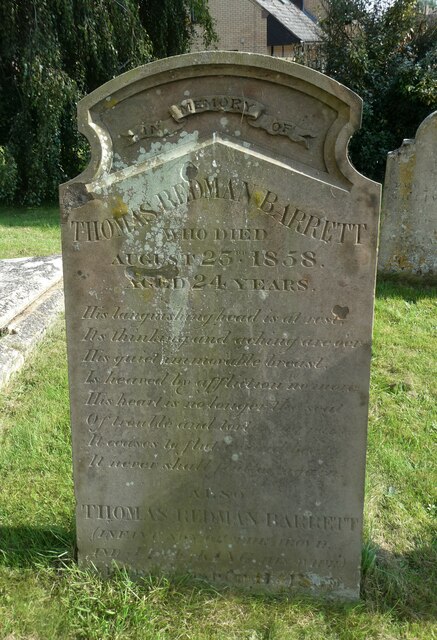
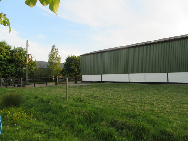
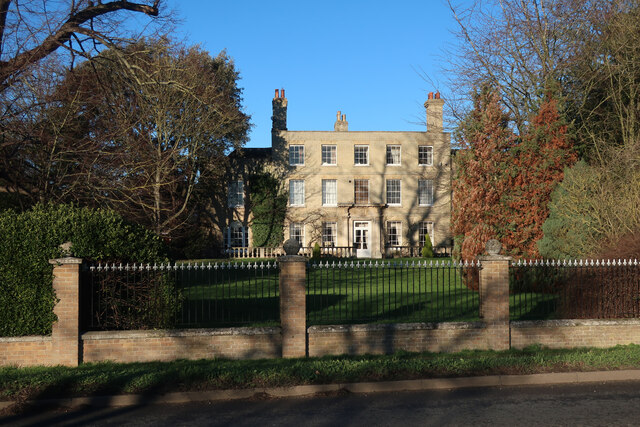
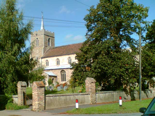
The village itself is quaint and idyllic, with a close-knit community that prides itself on its welcoming and friendly demeanor. The architecture in Colne Green is predominantly traditional, with charming cottages and farmhouses dotting the landscape. The village also boasts a historic church and a village hall, which serve as focal points for social gatherings and community events.

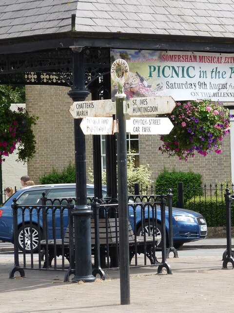
Colne Green is well-connected to nearby towns and cities, with good transport links and easy access to amenities. The village is a short drive away from Huntingdon, a bustling market town that offers a range of shops, restaurants, and recreational facilities.

Overall, Colne Green is a hidden gem in Huntingdonshire, where residents and visitors can escape the hustle and bustle of city life and immerse themselves in the beauty of nature. Whether it's exploring the Downs, wandering through the moorland, or simply enjoying the peaceful ambiance, this village offers a serene retreat for those seeking a rural escape.

If you have any feedback on the listing, please let us know in the comments section below.
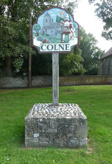
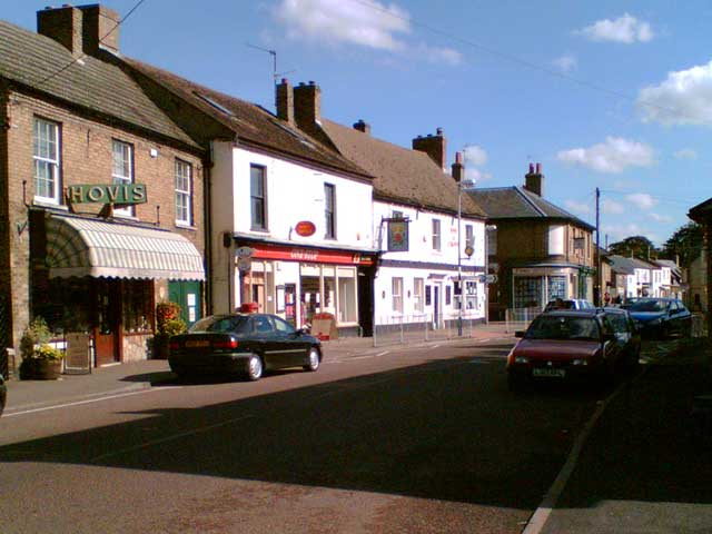
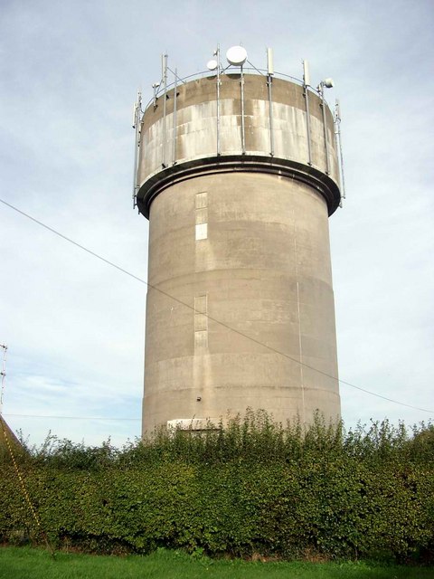
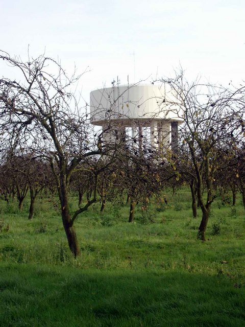
Colne Green Images

Images are sourced within 2km of 52.369262/0.00409116 or Grid Reference TL3676. Thanks to Geograph Open Source API. All images are credited.

Village sign, Colne
Village sign, Colne
St Helen, Colne: late September 2021
Looking north-east along the High Street
St John the Baptist, Somersham: late September 2021
St John the Baptist, Somersham: churchyard
St John the Baptist, Somersham: gravestone
Direction Sign – Signpost on the B1086 High Street in Somersham Located on an island on the southeast side of the crossroads of the B1086 High Street, Church Street and Parkhall Road in Somersham parish. 4 arms and annulus finial. 

Milestone Society National ID: HU_TL3677
Direction Sign – Signpost on the B1086 High Street in Somersham
Located on an island on the southeast side of the crossroads of the B1086 High Street, Church Street and Parkhall Road in Somersham parish. 4 arms and annulus finial. Milestone Society National ID: HU_TL3677
Somersham, West End Farm buildings and pasture.
Somersham, West End
Farm buildings and pasture.
Full moon at Somersham Looking south from Heath View Close.
Full moon at Somersham
Looking south from Heath View Close.
Farm barn, near Somersham Off Heath View Close.
Farm barn, near Somersham
Off Heath View Close.
Farmland at Somersham Looking south from Heath View Close. Note two water towers on the right in the distance at Bluntisham in <a href="https://www.geograph.org.uk/gridref/TL3675">TL3675</a>.
Farmland at Somersham
Looking south from Heath View Close. Note two water towers on the right in the distance at Bluntisham in TL3675.
Bluntisham House
Bluntisham House
High Street, Somersham View looking east along Somersham High Street towards the junction with Church Street.
High Street, Somersham
View looking east along Somersham High Street towards the junction with Church Street.
St John The Baptist Church, Somersham View of the church from Church Street.
St John The Baptist Church, Somersham
View of the church from Church Street.
Water tower at Bluntisham
Water tower and derelict orchard The second of two water towers just west of Bluntisham.  This one is surrounded by a derelict orchard - one of many in the area.
Water tower and derelict orchard
The second of two water towers just west of Bluntisham. This one is surrounded by a derelict orchard - one of many in the area.
Somersham Lakes
Somersham Lakes
Somersham Lakes with housing estate in background Despite the apparent autumnal nature of this picture, it was actually taken in spring.  Evidence of the seasons becoming disturbed, perhaps?
Somersham Lakes with housing estate in background
Despite the apparent autumnal nature of this picture, it was actually taken in spring. Evidence of the seasons becoming disturbed, perhaps?
Show me another place!

Colne Green is located at Grid Ref: TL3676 (Lat: 52.369262, Lng: 0.00409116)

Administrative County: Cambridgeshire

District: Huntingdonshire

Police Authority: Cambridgeshire

What 3 Words

///doses.cadet.mallets. Near Somersham, Cambridgeshire

Nearby Locations

Colne Green Deadman's Hill

Related Wikis

Colne, Cambridgeshire

Colne is a village and civil parish in Cambridgeshire, England. Colne lies about 9 miles (14 km) east of Huntingdon; the villages of Bluntisham, Woodhurst...

Somersham railway station

Somersham railway station was a station in Somersham, Cambridgeshire on the Great Eastern Railway between March and St Ives. There was also a branch line...

Somersham

Somersham is a village and civil parish in Cambridgeshire, England. Somersham lies approximately 9 miles (14 km) east of Huntingdon and 4 miles (6 km)...

Somersham Town F.C.

Somersham Town Football Club is a football club based in Somersham, near St Ives in Cambridgeshire, England. They club are members of the Cambridgeshire...

Nearby Amenities

Located within 500m of 52.369262,0.00409116
Power: pole
Lat/Long: 52.3723535/0.0088993
Power: pole
Lat/Long: 52.3678039/0.0091407
Power: pole
Lat/Long: 52.3685835/0.0091676
Power: pole
Lat/Long: 52.3693827/0.009189
Power: pole
Lat/Long: 52.3716624/0.0093714
Power: pole
Lat/Long: 52.3685966/0.0112758
Power: pole
Lat/Long: 52.3701393/0.0092588
Power: pole
Lat/Long: 52.3670309/0.0090495
Power: pole
Lat/Long: 52.3685769/0.0101171
Power: pole
Lat/Long: 52.3708795/0.009307
Power: pole
Lat/Long: 52.3662721/0.0090243
Place: farm
Lat/Long: 52.3665624/0.0085113
Church Ruins
Historic: ruins
Lat/Long: 52.3660346/0.0055731
The data included in this document is from www.openstreetmap.org. The data is made available under ODbL.

Have you been to Colne Green?

Leave your review of Colne Green below (or comments, questions and feedback).