Fox Hill
Hill, Mountain in Cambridgeshire South Cambridgeshire
England
Fox Hill
Fox Hill is a prominent landmark located in Cambridgeshire, England. It is situated in the eastern part of the county, near the village of Elsworth. Despite its name, Fox Hill is not actually a hill or a mountain but rather a small, elevated area of land that offers panoramic views of the surrounding countryside.
The location of Fox Hill makes it a popular destination for nature enthusiasts and hikers. The area is characterized by gently rolling hills and fertile farmland, creating a picturesque setting for outdoor activities. Its elevated position provides visitors with breathtaking vistas of the Cambridgeshire countryside, with its patchwork of fields, hedgerows, and winding country lanes.
Fox Hill is also home to a diverse range of flora and fauna. The surrounding woodlands and grasslands support a variety of wildlife, including foxes, rabbits, and different bird species. Wildflowers can also be found in abundance during spring and summer, adding bursts of color to the landscape.
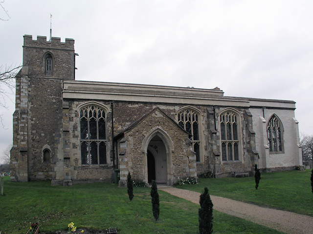
In addition to its natural beauty, Fox Hill has historical significance. It is believed to have ancient origins, with evidence of human habitation dating back thousands of years. Archaeological excavations have uncovered artifacts from Roman, Saxon, and medieval periods, suggesting that the area has been inhabited continuously throughout history.
Overall, Fox Hill in Cambridgeshire offers visitors a tranquil and scenic retreat from urban life. Its natural beauty, combined with its historical significance, makes it a cherished destination for locals and tourists alike.
If you have any feedback on the listing, please let us know in the comments section below.
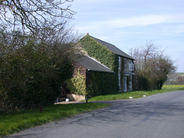
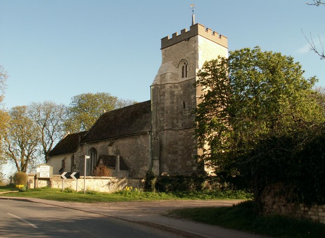
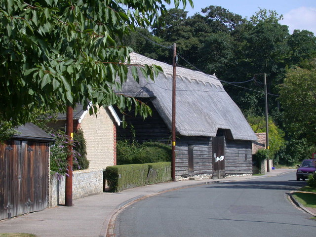
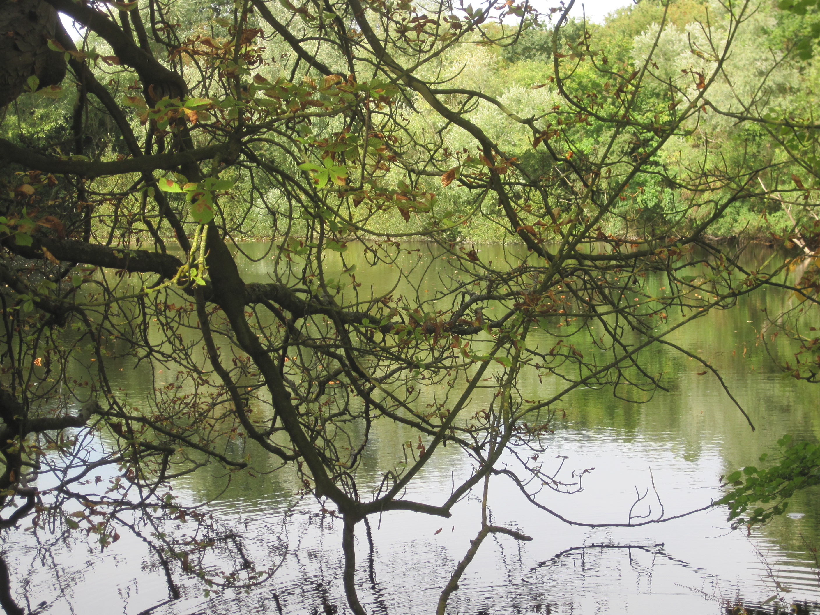
Fox Hill Images
Images are sourced within 2km of 52.143656/-0.001479667 or Grid Reference TL3651. Thanks to Geograph Open Source API. All images are credited.


Fox Hill is located at Grid Ref: TL3651 (Lat: 52.143656, Lng: -0.001479667)
Administrative County: Cambridgeshire
District: South Cambridgeshire
Police Authority: Cambridgeshire
What 3 Words
///myths.league.lobster. Near Orwell, Cambridgeshire
Nearby Locations
Related Wikis
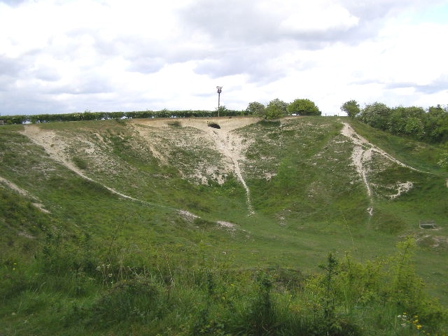
Orwell Clunch Pit
Orwell Clunch Pit is a 1.8-hectare (4.4-acre) biological Site of Special Scientific Interest on the northern outskirts of Orwell in Cambridgeshire. It...
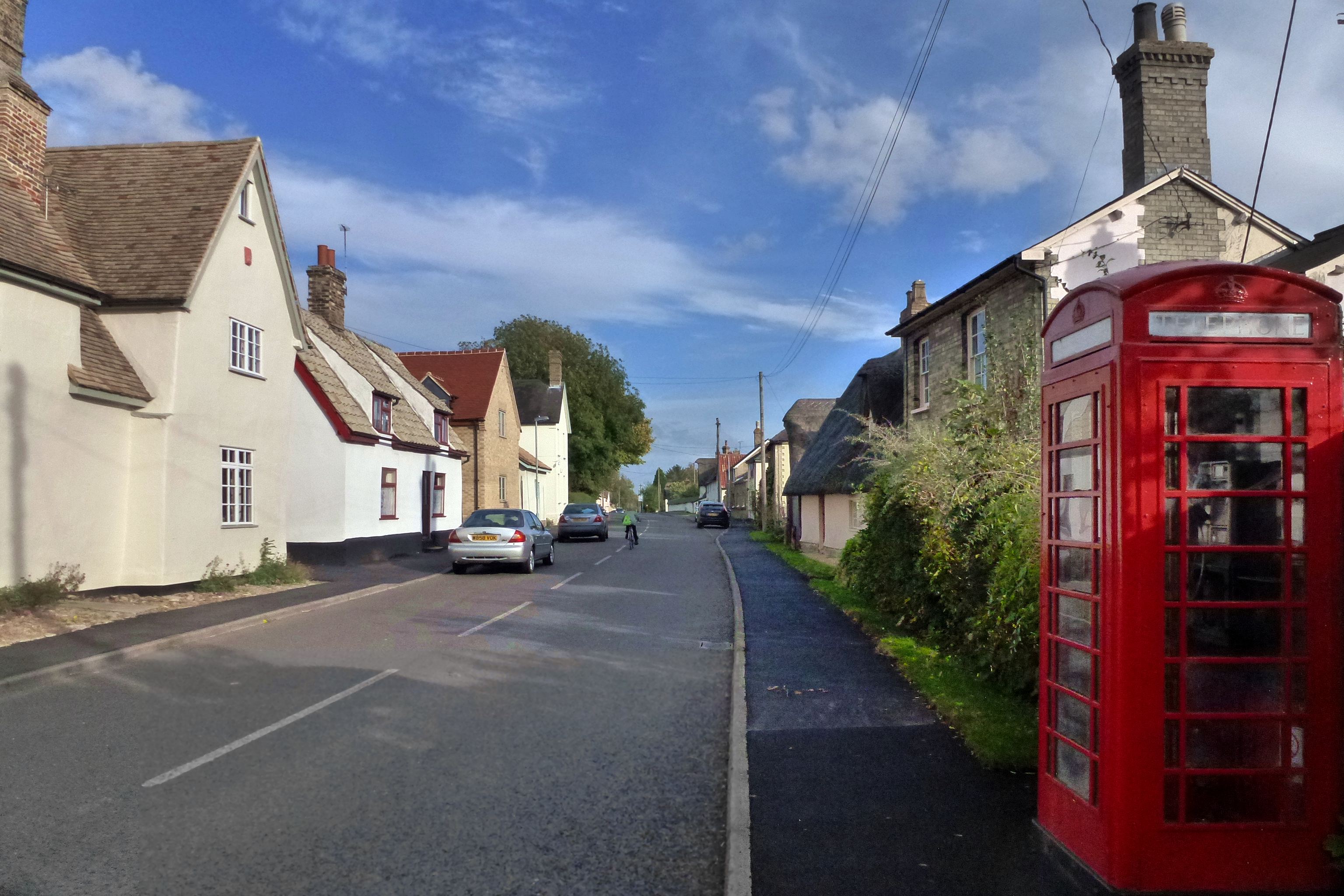
Orwell, Cambridgeshire
Orwell is a rural village outside Cambridge in South Cambridgeshire, England. The Prime Meridian passes the eastern edge of Orwell. == History == The village...
Harlton
Harlton is a village and civil parish in Cambridgeshire in the United Kingdom. The village is 5 miles (8.0 km) south-west of Cambridge and neighbours Haslingfield...
Great Eversden
Great Eversden is a village 6 miles south-west of Cambridge, England. The population of the civil parish at the 2011 Census was 241. The Prime Meridian...

Barrington Chalk Pit
Barrington Chalk Pit is a 97.1-hectare (240-acre) geological Site of Special Scientific Interest near Barrington in Cambridgeshire. It is a Geological...
Little Eversden
Little Eversden is a village approximately 7 miles (11 km) south-west of Cambridge, England. It has two main roads: Harlton Road which goes through Little...

Barrington, Cambridgeshire
Barrington is a small village and civil parish in the South Cambridgeshire district of Cambridgeshire, England. The village is about 7 miles (11 km) south...
Barrington Pit
Barrington Pit is a 3.8-hectare (9.4-acre) geological Site of Special Scientific Interest near Barrington in Cambridgeshire. It is a Geological Conservation...
Nearby Amenities
Located within 500m of 52.143656,-0.001479667Have you been to Fox Hill?
Leave your review of Fox Hill below (or comments, questions and feedback).