King's Hill
Hill, Mountain in Hertfordshire East Hertfordshire
England
King's Hill
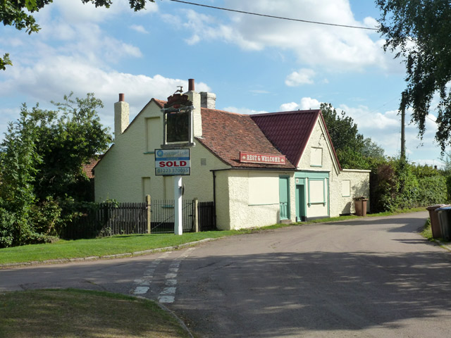
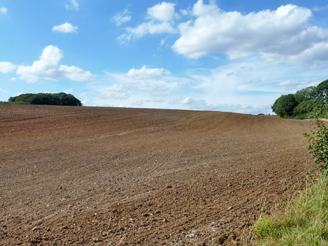
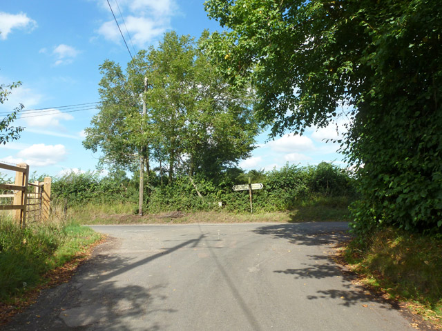
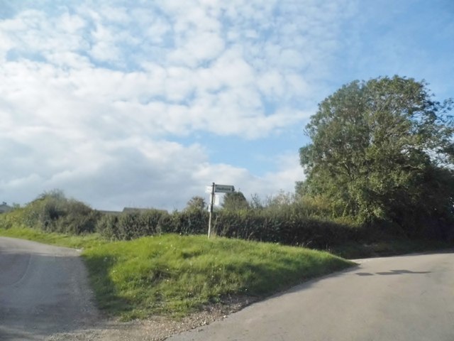
King's Hill is a prominent hill located in Hertfordshire, England. Rising to an elevation of approximately 200 meters, it is a notable geographical feature in the region. Situated in the Chiltern Hills, it is part of an Area of Outstanding Natural Beauty, attracting tourists and nature enthusiasts alike.
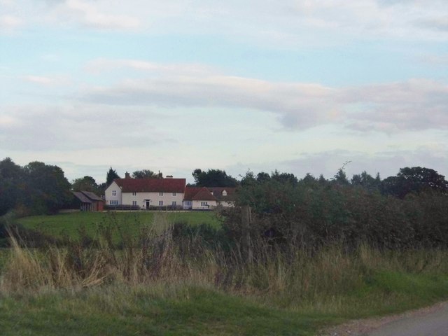
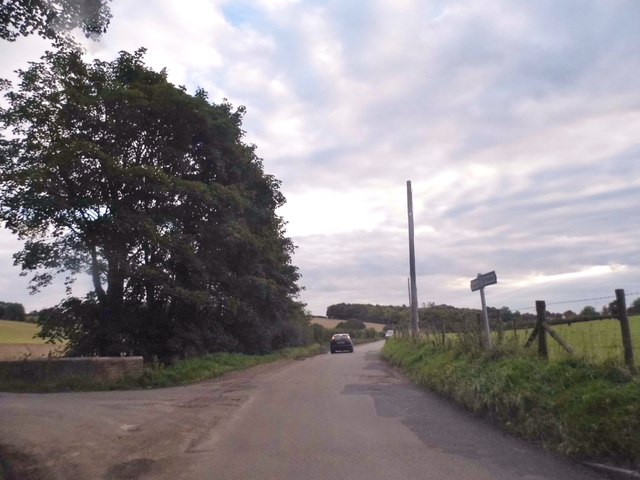
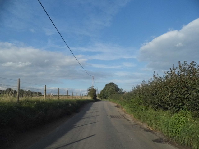
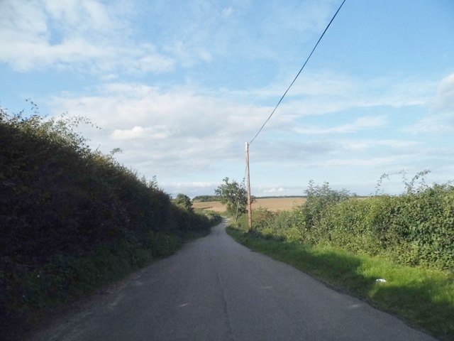
The hill offers breathtaking views of the surrounding countryside, with its slopes covered in lush greenery and dotted with picturesque villages. It is a popular destination for hikers, walkers, and cyclists, who are drawn to its well-maintained trails and scenic routes.
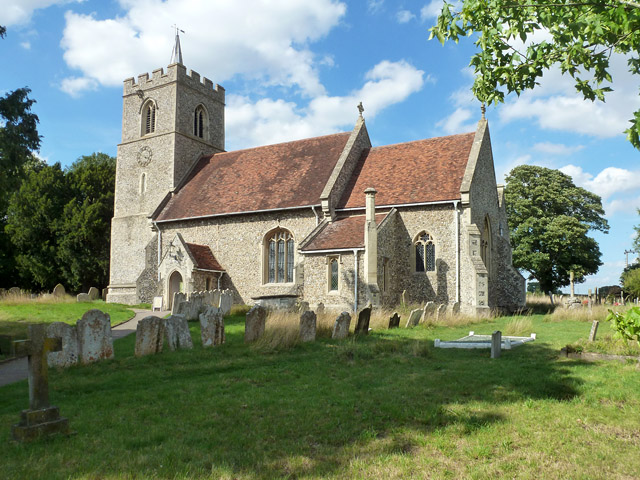
King's Hill has a rich historical significance as well. It is believed to have been named after King Henry VIII, who allegedly used the hill as a vantage point for hunting in the nearby Ashridge Estate. The area also played a role in the medieval period, serving as a strategic location for defensive purposes due to its commanding position.
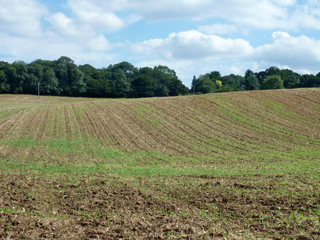
In addition to its natural beauty, King's Hill is home to a diverse range of flora and fauna. The hill's varied habitats support a wide array of wildlife, including deer, foxes, and numerous bird species. It is a designated Site of Special Scientific Interest, further highlighting its ecological importance.
Visitors to King's Hill can enjoy various recreational activities such as picnicking, wildlife spotting, and photography. The hill provides a tranquil escape from the hustle and bustle of daily life, offering a serene environment for relaxation and connecting with nature.
If you have any feedback on the listing, please let us know in the comments section below.
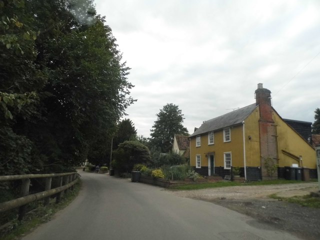
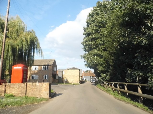
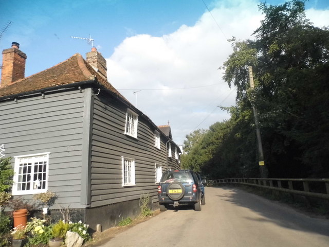
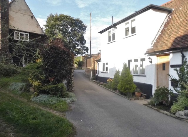
King's Hill Images
Images are sourced within 2km of 51.885061/-0.042992194 or Grid Reference TL3422. Thanks to Geograph Open Source API. All images are credited.


King's Hill is located at Grid Ref: TL3422 (Lat: 51.885061, Lng: -0.042992194)
Administrative County: Hertfordshire
District: East Hertfordshire
Police Authority: Hertfordshire
What 3 Words
///sleepers.warnings.fixture. Near Puckeridge, Hertfordshire
Nearby Locations
Related Wikis

Little Munden
Little Munden or Munden-Frewell or Munden Parva is a civil parish in the East Hertfordshire district, in the county of Hertfordshire, England. In 2011...

Little Munden Primary School
Little Munden Primary School is a Church of England voluntary controlled primary school in the village of Dane End, near Ware in Hertfordshire. It is a...

Great Munden
Great Munden is a village and civil parish in Hertfordshire, England. The parish, in the district of East Hertfordshire, spans 3,758 acres (5.872 sq mi...
Dane End
Dane End is a hamlet to the north of Ware in Hertfordshire, England situated between the A602 and A10. It is within Little Munden civil parish and East...
Standon Priory
Standon Priory was a priory in Essex, England. == References ==
Old Hall Green
Old Hall Green is a hamlet in Hertfordshire, England. At the 2011 Census the population was included in the civil parish of Standon. In 1793, an academy...

Nasty, Hertfordshire
Nasty is a hamlet in the East Hertfordshire district of Hertfordshire, England. It is in Great Munden civil parish, around 6 miles (10 km) north of Ware...
St Edmund's College, Ware
St Edmund's College is a coeducational private day and boarding school in the British public school tradition, set in 440 acres (1.8 km2) in Ware, Hertfordshire...
Nearby Amenities
Located within 500m of 51.885061,-0.042992194Have you been to King's Hill?
Leave your review of King's Hill below (or comments, questions and feedback).