Doggett Hill
Hill, Mountain in Hertfordshire Broxbourne
England
Doggett Hill
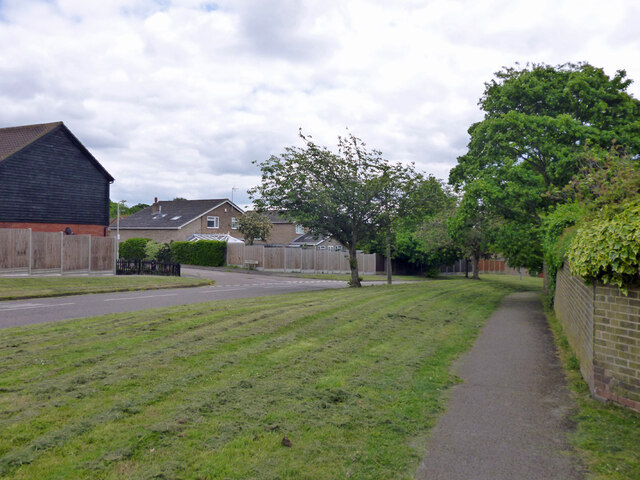
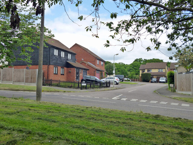
Doggett Hill is a small hill located in Hertfordshire, England. Situated in the southeastern part of the county, it forms part of the Chiltern Hills, a range of chalk hills that stretches across several counties. Despite its name, Doggett Hill is not particularly elevated, standing at a modest height of around 170 meters (560 feet) above sea level.
The hill is covered in lush greenery, with a mix of deciduous and coniferous trees dotting its slopes. It offers picturesque views of the surrounding countryside, with its gentle incline making it a popular spot for leisurely walks and hikes. On a clear day, visitors can see the nearby towns of Hemel Hempstead and St Albans in the distance.
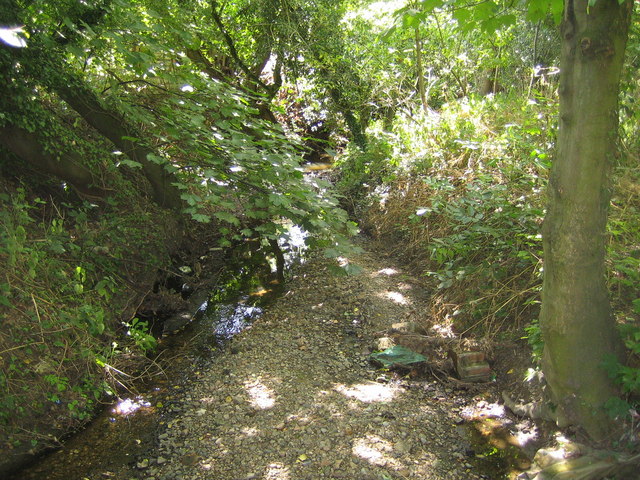
Doggett Hill is also home to a variety of wildlife, including rabbits, foxes, and various bird species. The hill's diverse ecosystem attracts nature enthusiasts and birdwatchers who come to observe and appreciate the local flora and fauna.
In addition to its natural beauty, Doggett Hill has historical significance. It is believed to have been inhabited for thousands of years, with evidence of prehistoric settlements found in the area. Archaeological surveys have uncovered ancient artifacts and burial grounds, providing insight into the hill's past.
Overall, Doggett Hill offers a tranquil escape from the hustle and bustle of urban life, providing visitors with opportunities to connect with nature and explore the rich history of Hertfordshire.
If you have any feedback on the listing, please let us know in the comments section below.
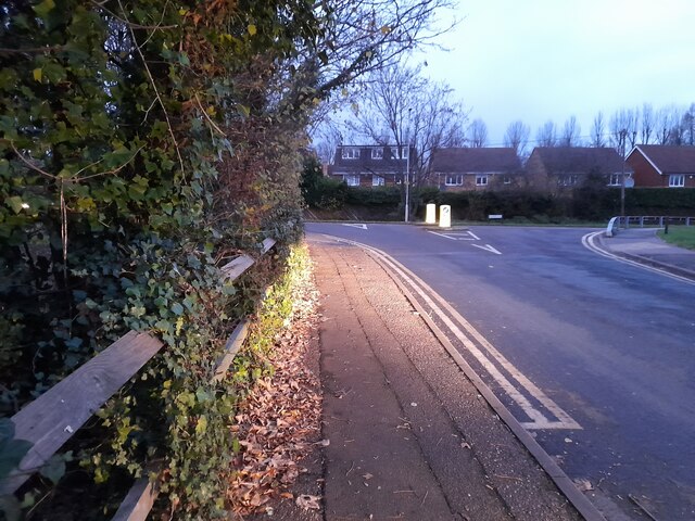
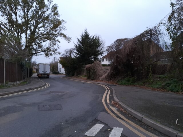
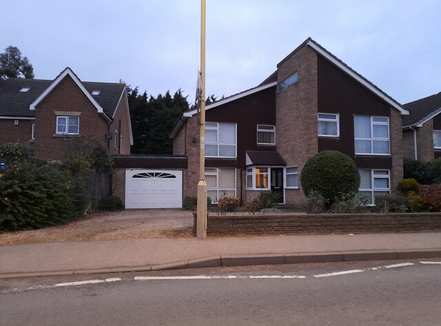
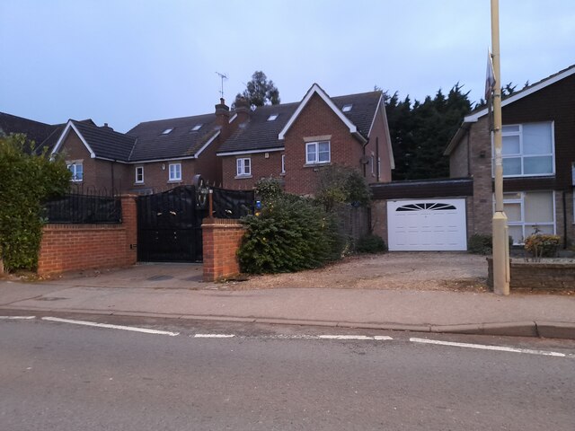
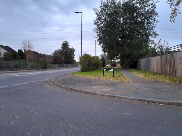
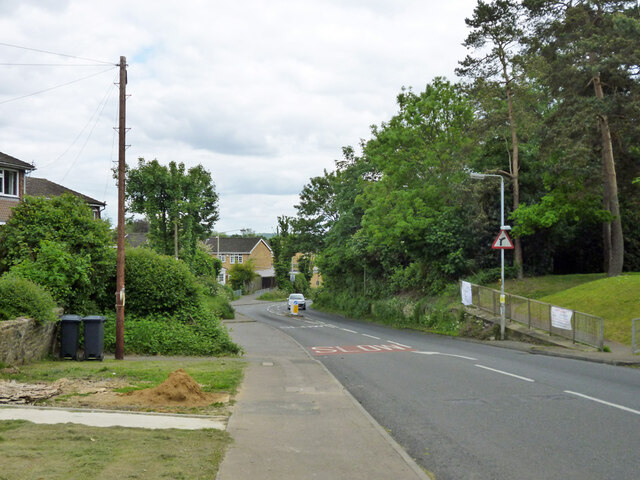
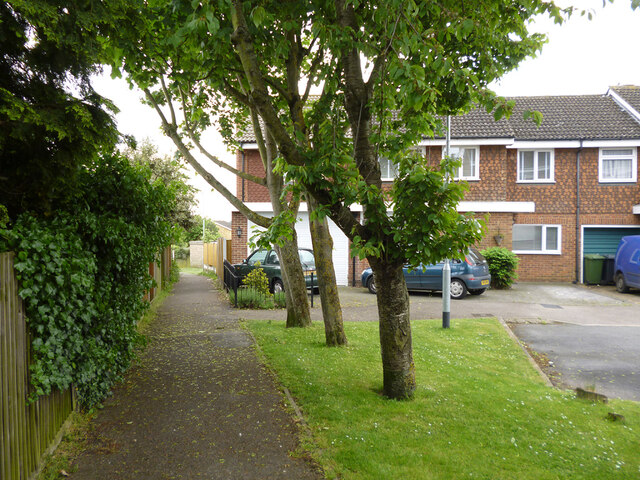
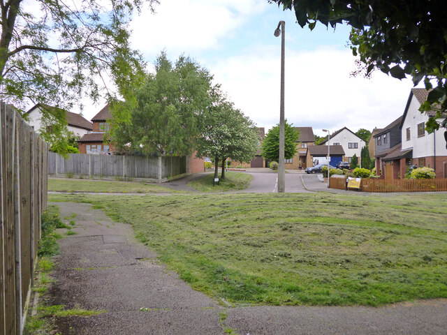
Doggett Hill Images
Images are sourced within 2km of 51.727257/-0.051133031 or Grid Reference TL3404. Thanks to Geograph Open Source API. All images are credited.


Doggett Hill is located at Grid Ref: TL3404 (Lat: 51.727257, Lng: -0.051133031)
Administrative County: Hertfordshire
District: Broxbourne
Police Authority: Hertfordshire
What 3 Words
///indoor.spoke.marker. Near Broxbourne, Hertfordshire
Nearby Locations
Related Wikis

Broxbourne (UK Parliament constituency)
Broxbourne is a constituency in Hertfordshire represented in the House of Commons of the UK Parliament since 2005 by Charles Walker of the Conservative...

Wormleybury
Wormleybury is an 18th-century house surrounded by a landscaped park of 57 ha (140 acres) near Wormley in Broxbourne, Hertfordshire, England, a few miles...

Wormleybury Brook
Wormleybury Brook is a tributary of the River Lea which rises in the hills south of White Stubbs Lane in Hertfordshire, England.

Cheshunt Park
Cheshunt Park is a 40 hectare public park and Local Nature Reserve in Cheshunt in Hertfordshire. It is owned and managed by Broxbourne Borough Council...
Rags Brook
Rags Brook is a tributary of the Small River Lea, which is a tributary of the River Lea. Rags Brook rises in the hills between Goffs Oak Cuffley in Hertfordshire...

Paradise Wildlife Park
Paradise Wildlife Park is a family-run wildlife park and charity located in Broxbourne, Hertfordshire, England. Previously known as Broxbourne Zoo, it...
Wormley Rovers F.C.
Wormley Rovers Football Club is a football club based in Wormley, Hertfordshire. They are currently members of the Eastern Counties League Division One...

Turnford, Hertfordshire
Turnford is a village in the Borough of Broxbourne, in Hertfordshire, England, in an area generally known as the Lee Valley. It is bounded by Wormley to...
Nearby Amenities
Located within 500m of 51.727257,-0.051133031Have you been to Doggett Hill?
Leave your review of Doggett Hill below (or comments, questions and feedback).