Priests Osiers

Wood, Forest in Hertfordshire Broxbourne

England

Priests Osiers

Brookfield Lane West, Turnford The road is split in two by the A10
Brookfield Lane West, Turnford Credit: David Howard

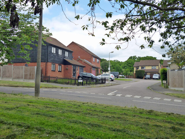
Priests Osiers is a woodland area located in Hertfordshire, England. It is situated within close proximity to the town of Hertford and covers an approximate area of 200 acres. The woodland is primarily composed of osier trees, also known as willows, which give the area its name.

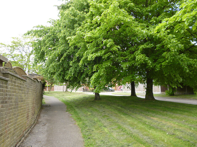
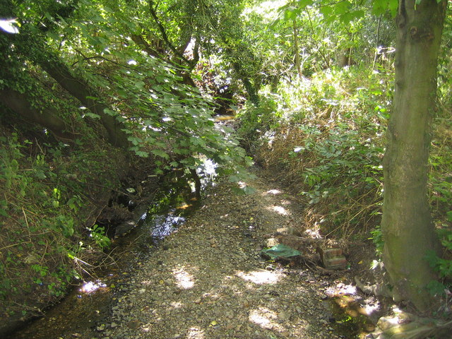
The woodland is known for its serene and picturesque atmosphere, attracting nature enthusiasts and visitors looking to immerse themselves in the beauty of the countryside. The osier trees create a dense canopy that provides shade and shelter for a variety of wildlife, including birds, insects, and small mammals. The area is particularly popular among birdwatchers, as it is home to several species of woodland birds.

Priests Osiers is also notable for its diverse flora. Alongside the osier trees, the woodland features a range of other tree species such as oak, birch, and ash. These trees create a rich and vibrant ecosystem, supporting a wide array of plant life including wildflowers, ferns, and mosses.

The woodland is managed by local authorities in conjunction with environmental organizations to ensure its preservation and sustainability. Efforts are made to maintain the natural habitat, control invasive species, and promote biodiversity within the area.

Priests Osiers offers walking trails and paths that allow visitors to explore and enjoy the beauty of the woodland. It provides a tranquil escape from the urban environment, allowing visitors to connect with nature and experience the peacefulness of the forest.

If you have any feedback on the listing, please let us know in the comments section below.

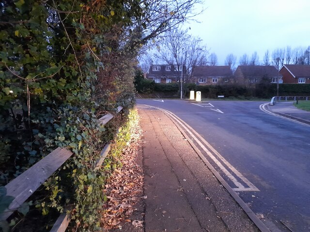
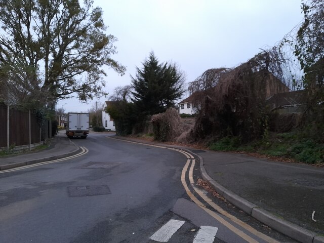
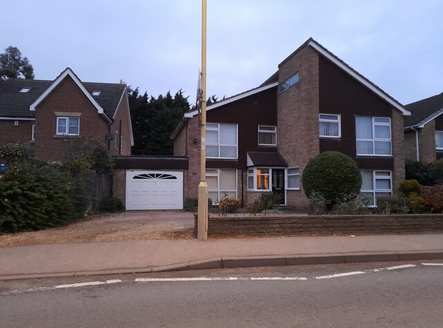
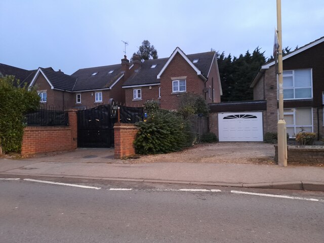
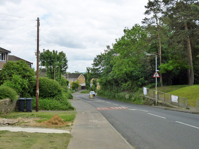
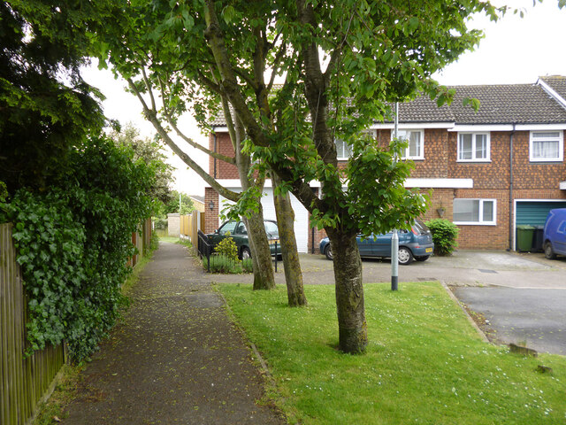
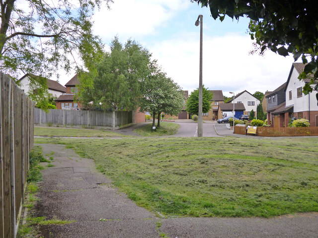
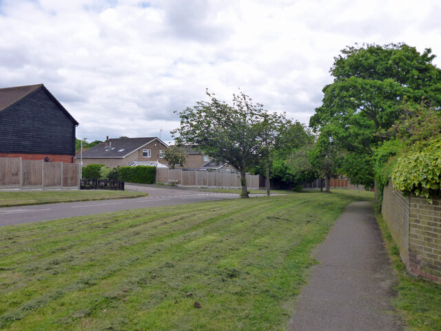
Priests Osiers Images

Images are sourced within 2km of 51.72727/-0.052435708 or Grid Reference TL3404. Thanks to Geograph Open Source API. All images are credited.

Brookfield Lane West, Turnford The road is split in two by the A10
Brookfield Lane West, Turnford
The road is split in two by the A10
Field by Brookfield Lane West, Turnford
Brookfield Lane West, Turnford
Houses on Brookfield Lane West, Turnford
Southbrook Drive, Turnford
Brookfield Lane West, Turnford
Modern house on Brookfield Road West, Flamstead End This style was popular in the 70s, I had a flat like it once. <a title="https://www.geograph.org.uk/photo/4839443" href="https://www.geograph.org.uk/photo/4839443">Link</a>
Modern house on Brookfield Road West, Flamstead End
This style was popular in the 70s, I had a flat like it once. Link
Houses on Brookfield Road West, Flamstead End
Houses on Perrysfield Road, Turnford The birch tree has suffered a recent accident, it was perfect a few years earlier.
Houses on Perrysfield Road, Turnford
The birch tree has suffered a recent accident, it was perfect a few years earlier.
Perrysfield Road, Turnford
High Road, Turnford
High Road, Turnford
Great Cambridge Road, Turnford I didn't realise the Great Cambridge Road split in Cheshunt, as this is the name of it from Tottenham onwards, but no longer follows the newer section of the A10 but remained with the original part.
Great Cambridge Road, Turnford
I didn't realise the Great Cambridge Road split in Cheshunt, as this is the name of it from Tottenham onwards, but no longer follows the newer section of the A10 but remained with the original part.
Dig Dag Hill, Cheshunt
Path from Adamsfield to Longfield Lane, Cheshunt Passing the end of one of the several branches of Smarts Green.
Path from Adamsfield to Longfield Lane, Cheshunt
Passing the end of one of the several branches of Smarts Green.
Looking across Adamsfield to Springwood, Cheshunt
Adamsfield, Cheshunt A distributor road in this housing development, with all houses on side roads.
Adamsfield, Cheshunt
A distributor road in this housing development, with all houses on side roads.
Bencroft, Cheshunt A turning off Adamsfield.
Bencroft, Cheshunt
A turning off Adamsfield.
Path along Adamsfield, Cheshunt Adamsfield is a distributor road in this housing development, with all houses on side roads.
Path along Adamsfield, Cheshunt
Adamsfield is a distributor road in this housing development, with all houses on side roads.
Show me another place!

Priests Osiers is located at Grid Ref: TL3404 (Lat: 51.72727, Lng: -0.052435708)

Administrative County: Hertfordshire

District: Broxbourne

Police Authority: Hertfordshire

What 3 Words

///thing.noisy.salsa. Near Broxbourne, Hertfordshire

Related Wikis

Broxbourne (UK Parliament constituency)

Broxbourne is a constituency in Hertfordshire represented in the House of Commons of the UK Parliament since 2005 by Charles Walker of the Conservative...

Wormleybury

Wormleybury is an 18th-century house surrounded by a landscaped park of 57 ha (140 acres) near Wormley in Broxbourne, Hertfordshire, England, a few miles...

Wormleybury Brook

Wormleybury Brook is a tributary of the River Lea which rises in the hills south of White Stubbs Lane in Hertfordshire, England.

Cheshunt Park

Cheshunt Park is a 40 hectare public park and Local Nature Reserve in Cheshunt in Hertfordshire. It is owned and managed by Broxbourne Borough Council...

Rags Brook

Rags Brook is a tributary of the Small River Lea, which is a tributary of the River Lea. Rags Brook rises in the hills between Goffs Oak Cuffley in Hertfordshire...

Paradise Wildlife Park

Paradise Wildlife Park is a family-run wildlife park and charity located in Broxbourne, Hertfordshire, England. Previously known as Broxbourne Zoo, it...

Wormley Rovers F.C.

Wormley Rovers Football Club is a football club based in Wormley, Hertfordshire. They are currently members of the Eastern Counties League Division One...

Turnford, Hertfordshire

Turnford is a village in the Borough of Broxbourne, in Hertfordshire, England, in an area generally known as the Lee Valley. It is bounded by Wormley to...

Nearby Amenities

Located within 500m of 51.72727,-0.052435708
Created By: YahooApplet 1.0
Lat/Long: 51.7266/-0.0585731
Created By: YahooApplet 1.0
Lat/Long: 51.7266798/-0.0571569
Created By: YahooApplet 1.0
Lat/Long: 51.7255899/-0.0584873
Created By: YahooApplet 1.0
Lat/Long: 51.7253506/-0.0584444
Created By: YahooApplet 1.0
Lat/Long: 51.7251645/-0.0554832
Created By: YahooApplet 1.0
Lat/Long: 51.7245265/-0.0553545
Created By: YahooApplet 1.0
Lat/Long: 51.7242873/-0.0559982
Created By: YahooApplet 1.0
Lat/Long: 51.724048/-0.0568565
Power: tower
Lat/Long: 51.7252797/-0.0532259
Power: tower
Lat/Long: 51.7235415/-0.0495842
Power: tower
Lat/Long: 51.7254084/-0.0582314
Fixme: mapping needed
Lat/Long: 51.7288933/-0.0475459
Marker: post
Utility: oil
Lat/Long: 51.7277552/-0.0588188
Marker: post
Utility: oil
Lat/Long: 51.7277609/-0.058874
Marker: post
Utility: oil
Lat/Long: 51.7277632/-0.0589071
Marker: post
Utility: oil
Lat/Long: 51.7277643/-0.0589273
Barrier: stile
Lat/Long: 51.7279559/-0.0588156
The data included in this document is from www.openstreetmap.org. The data is made available under ODbL.

Have you been to Priests Osiers?

Leave your review of Priests Osiers below (or comments, questions and feedback).