Bandy Common
Downs, Moorland in Hertfordshire East Hertfordshire
England
Bandy Common

Bandy Common is a picturesque area located in Hertfordshire, England. This beautiful common, also known as Bandy Marsh or Bandy Downs, is spread across an extensive stretch of land, encompassing both downs and moorland. It is situated near the town of Ware, just a few miles east of Hertford.
The common is characterized by its diverse and captivating landscape. The downs area features rolling hills covered in lush green grass, offering panoramic views of the surrounding countryside. This part of Bandy Common is often used for recreational activities such as picnicking, walking, and kite flying. It is also home to a variety of plant species, including wildflowers and heather, which add color and vibrancy to the landscape.
On the other hand, the moorland section of Bandy Common offers a more rugged and untamed environment. Here, visitors can find heathland covered in gorse and bracken, as well as scattered patches of woodland. This part of the common is ideal for nature enthusiasts, providing habitats for various wildlife species, such as rabbits, foxes, and numerous bird species.
Bandy Common is a popular destination for locals and tourists alike, offering a peaceful retreat from the hustle and bustle of urban life. Its vast open spaces, scenic views, and diverse terrain make it an excellent location for outdoor activities, nature walks, and photography. The common is easily accessible, with designated footpaths and car parking facilities available for visitors.
If you have any feedback on the listing, please let us know in the comments section below.
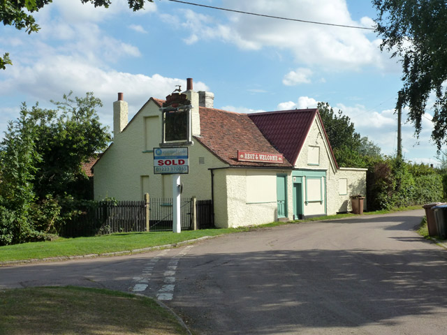
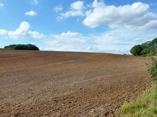
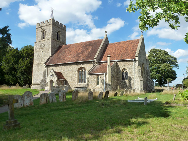
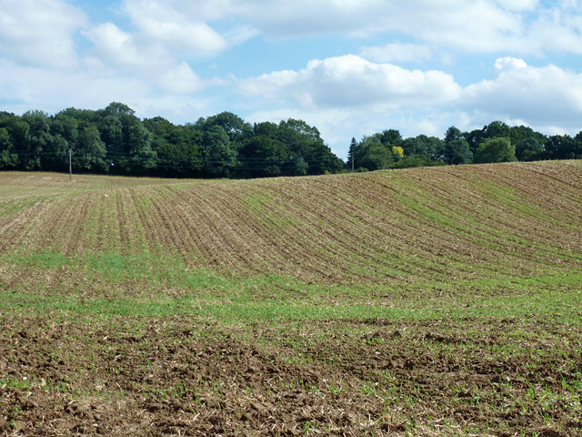
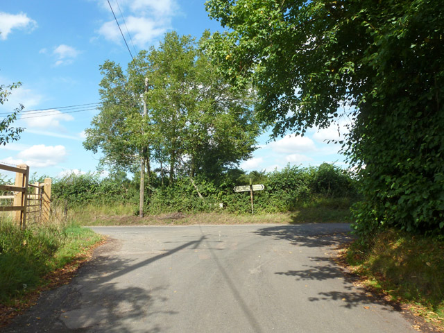
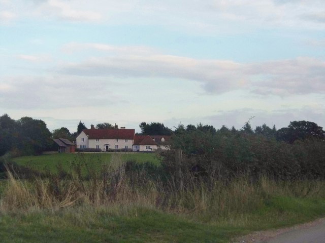
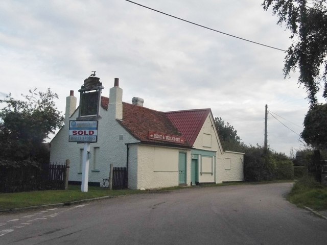
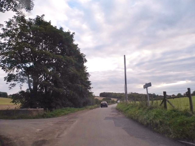
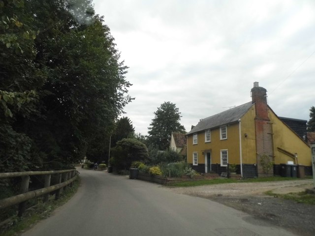
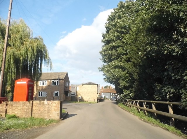
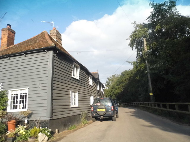
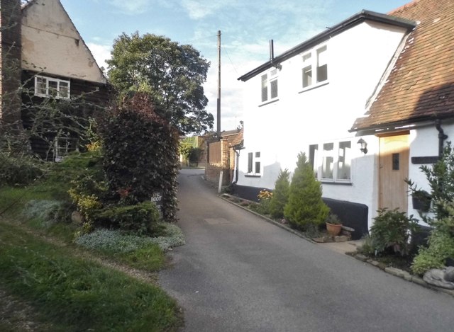
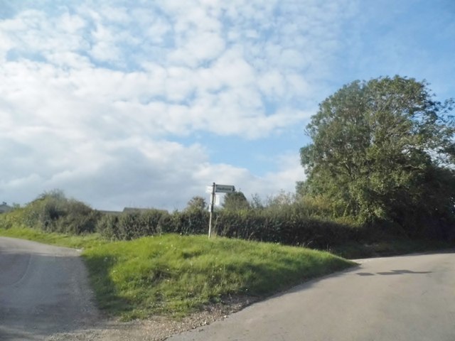
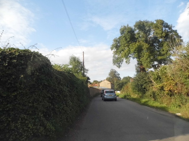
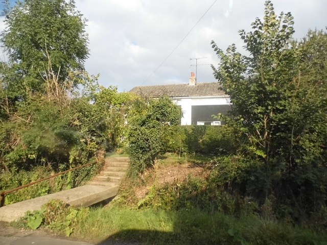
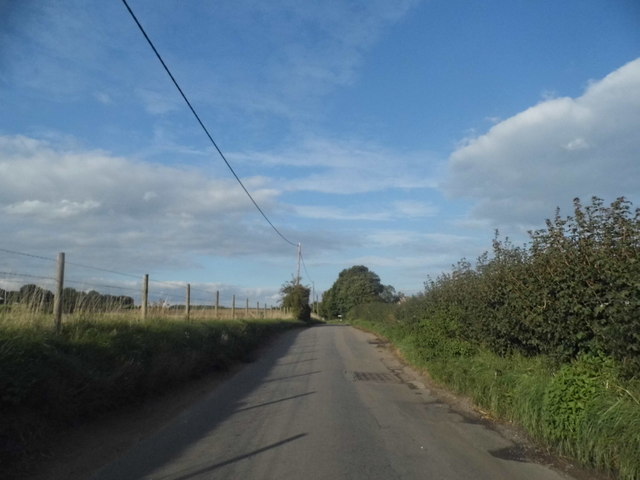
Bandy Common Images
Images are sourced within 2km of 51.8837/-0.051987571 or Grid Reference TL3422. Thanks to Geograph Open Source API. All images are credited.

Bandy Common is located at Grid Ref: TL3422 (Lat: 51.8837, Lng: -0.051987571)
Administrative County: Hertfordshire
District: East Hertfordshire
Police Authority: Hertfordshire
What 3 Words
///remembers.pebble.alone. Near Puckeridge, Hertfordshire
Nearby Locations
Related Wikis

Little Munden
Little Munden or Munden-Frewell or Munden Parva is a civil parish in the East Hertfordshire district, in the county of Hertfordshire, England. In 2011...

Little Munden Primary School
Little Munden Primary School is a Church of England voluntary controlled primary school in the village of Dane End, near Ware in Hertfordshire. It is a...
Dane End
Dane End is a hamlet to the north of Ware in Hertfordshire, England situated between the A602 and A10. It is within Little Munden civil parish and East...

Great Munden
Great Munden is a village and civil parish in Hertfordshire, England. The parish, in the district of East Hertfordshire, spans 3,758 acres (5.872 sq mi...

Sacombe Green
Sacombe Green is a hamlet located to the east of the village of Sacombe, in the East Hertfordshire district, in the county of Hertfordshire, England....
Standon Priory
Standon Priory was a priory in Essex, England. == References ==

Nasty, Hertfordshire
Nasty is a hamlet in the East Hertfordshire district of Hertfordshire, England. It is in Great Munden civil parish, around 6 miles (10 km) north of Ware...

Whempstead
Whempstead is a hamlet in the parish of Watton-at-Stone, situated north of Hertford and to the south-east of Stevenage in Hertfordshire, it is close to...
Nearby Amenities
Located within 500m of 51.8837,-0.051987571Have you been to Bandy Common?
Leave your review of Bandy Common below (or comments, questions and feedback).