Bathe Hill

Hill, Mountain in Huntingdonshire Huntingdonshire

England

Bathe Hill

Bluntisham Waste Recycling Centre Clearing up after Christmas, in the rain
Bluntisham Waste Recycling Centre Credit: Chris Morgan

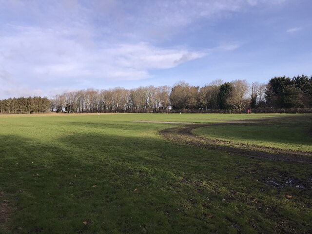
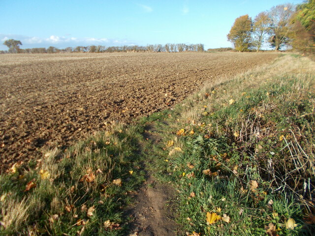
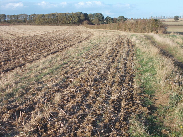
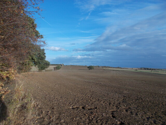
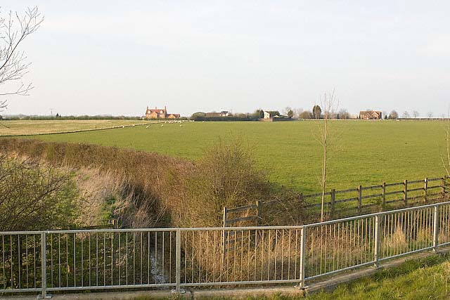
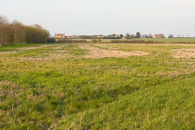
Bathe Hill is a small hill located in the county of Huntingdonshire in England. It is situated near the village of Great Staughton and stands at an elevation of approximately 50 meters above sea level. The hill is part of the gently rolling landscape of the East Midlands region and offers panoramic views of the surrounding countryside.

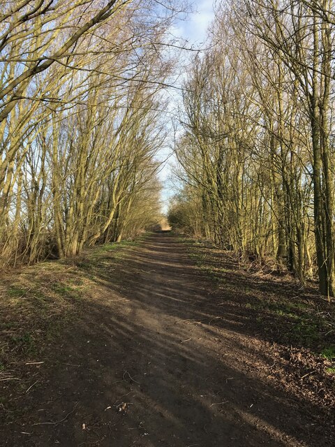
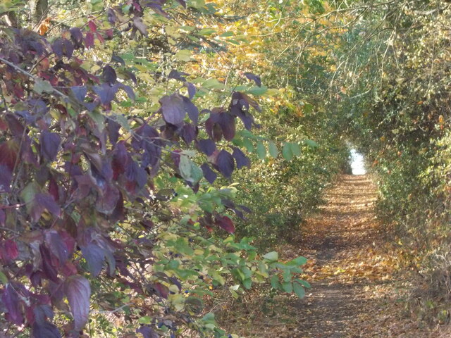
Bathe Hill is a popular destination for hikers and nature enthusiasts looking to explore the rural beauty of Huntingdonshire. The hill is covered in lush green vegetation, including grassy meadows and scattered trees, making it an ideal spot for picnics or leisurely walks.

Despite its modest height, Bathe Hill is considered a prominent landmark in the area and is often mentioned in local folklore and historical records. It is said to have played a role in the agricultural and social history of the region, serving as a meeting point for villagers and a vantage point for watching over the surrounding farmland.

Overall, Bathe Hill is a charming natural feature that adds to the picturesque scenery of Huntingdonshire and provides visitors with a peaceful retreat from the hustle and bustle of modern life.

If you have any feedback on the listing, please let us know in the comments section below.
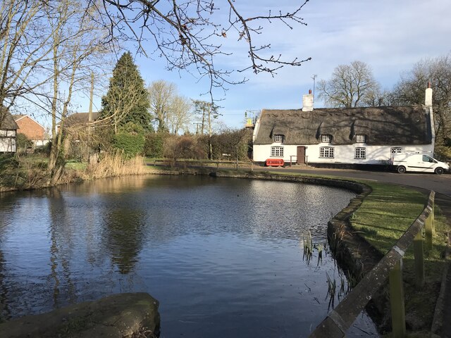
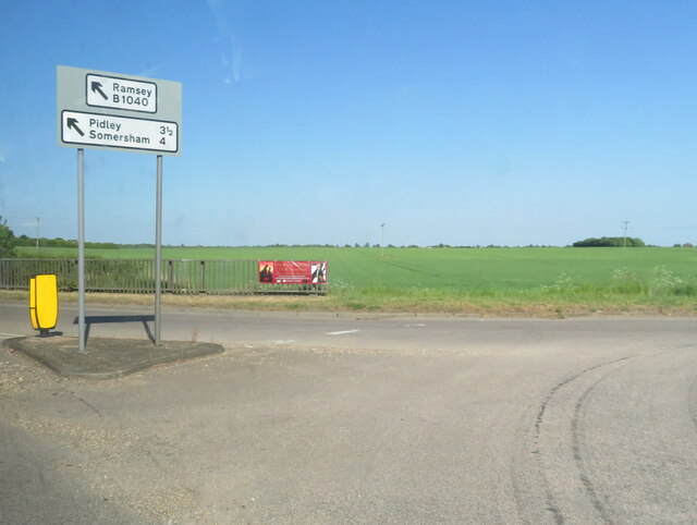
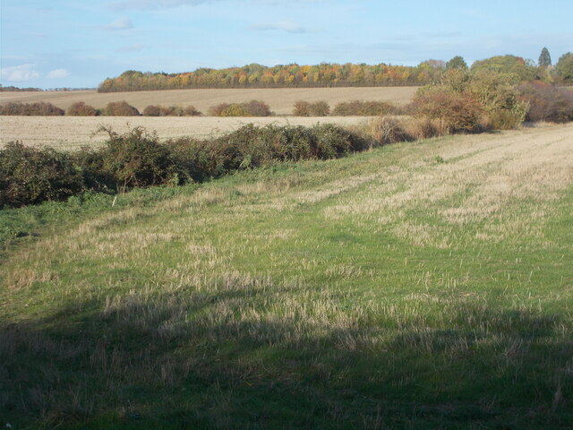
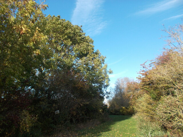
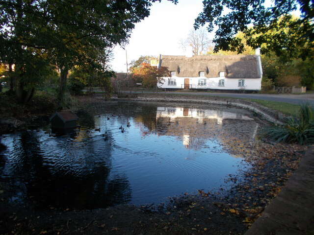
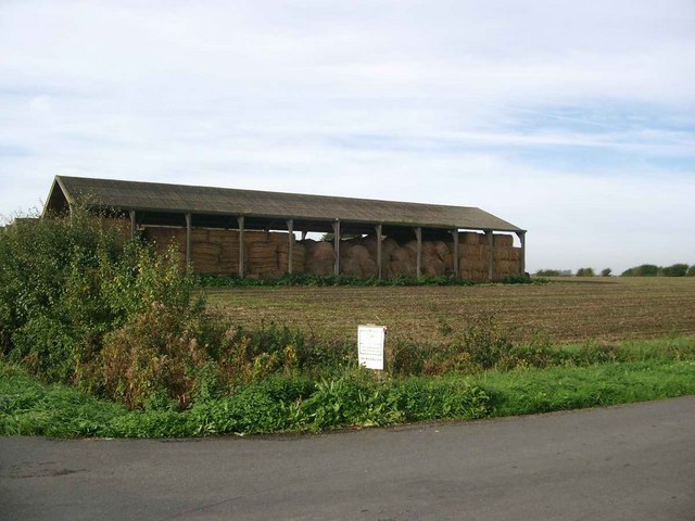
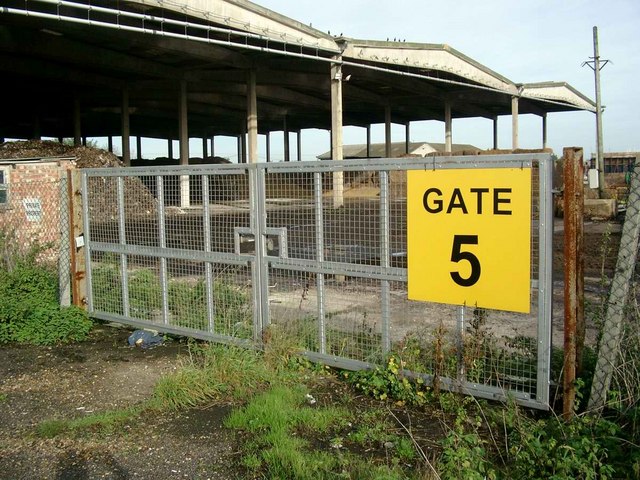
Bathe Hill Images

Images are sourced within 2km of 52.352114/-0.04903237 or Grid Reference TL3274. Thanks to Geograph Open Source API. All images are credited.

Bluntisham Waste Recycling Centre Clearing up after Christmas, in the rain
Bluntisham Waste Recycling Centre
Clearing up after Christmas, in the rain
Marley Road junction - St  Ives
Marley Road junction - St Ives
Burleigh Hill Farm Caravan site
Track to Woodhurst
Track to Woodhurst
Woodhurst village pond
Road Junction at Marley Gap On the edge of St Ives.
Road Junction at Marley Gap
On the edge of St Ives.
Field path on the edge of St Ives From this point on the edge of the St Ives perimeter road, Marley Road, a public footpath leads to the ring village of Woodhurst a couple of miles away. The Via Beata walking route, leading to Woodhurst, passes through the autumnal-looking copse on the horizon in this photo.
Field path on the edge of St Ives
From this point on the edge of the St Ives perimeter road, Marley Road, a public footpath leads to the ring village of Woodhurst a couple of miles away. The Via Beata walking route, leading to Woodhurst, passes through the autumnal-looking copse on the horizon in this photo.
Grassy area near to Burleigh Farm The way ahead appears to lead invitingly on at this point but the Via Beata route, leading to the ring village of Woodhurst, takes a sharp left turn here through a copse.
Grassy area near to Burleigh Farm
The way ahead appears to lead invitingly on at this point but the Via Beata route, leading to the ring village of Woodhurst, takes a sharp left turn here through a copse.
Path through the copse south west of Burleigh Farm At the copse, the Via Beata switches sharp left before turning right at the end of the woods, thus bypassing the farm. This copse is clearly seen atop a rise from the St Ives perimeter road. The change of direction is not immediately obvious when approaching from the south as the way ahead appears to lead invitingly on but to do so only means retracing your steps back to this point as it leads to the farm and is not a continuation route with public access.
Path through the copse south west of Burleigh Farm
At the copse, the Via Beata switches sharp left before turning right at the end of the woods, thus bypassing the farm. This copse is clearly seen atop a rise from the St Ives perimeter road. The change of direction is not immediately obvious when approaching from the south as the way ahead appears to lead invitingly on but to do so only means retracing your steps back to this point as it leads to the farm and is not a continuation route with public access.
Field edge path leading towards Woodhurst
On the Via Beata between St Ives and Woodhurst This path between St Ives and Woodhurst borders a field edge before continuing ahead through deciduous woodland to the village of Woodhurst.
On the Via Beata between St Ives and Woodhurst
This path between St Ives and Woodhurst borders a field edge before continuing ahead through deciduous woodland to the village of Woodhurst.
Last view of the open landscape before entering woodland.
Woodhurst village This appears to be the usual shot of the village with the pond in the foreground. As this is a ring village, there is no excuse for getting lost since, by following the road ahead, you arrive back at the point where you started ! Hurst, as part of a place name, means a grove or wooded hillock and this is an appropriate name for the village.
Woodhurst village
This appears to be the usual shot of the village with the pond in the foreground. As this is a ring village, there is no excuse for getting lost since, by following the road ahead, you arrive back at the point where you started ! Hurst, as part of a place name, means a grove or wooded hillock and this is an appropriate name for the village.
Straw bales in storage, Somersham Road
Mushroom compost plant
Priory Farm viewed from Needingworth bypass
Priory Farm and fields, Needingworth
Thatched cottage at Woodhurst This is known as Horseshoe Cottage and was once a public house called 'The Three Horseshoes'
Thatched cottage at Woodhurst
This is known as Horseshoe Cottage and was once a public house called 'The Three Horseshoes'
Show me another place!

Bathe Hill is located at Grid Ref: TL3274 (Lat: 52.352114, Lng: -0.04903237)

Administrative County: Cambridgeshire

District: Huntingdonshire

Police Authority: Cambridgeshire

What 3 Words

///pinging.smokers.cheetahs. Near Needingworth, Cambridgeshire

Nearby Locations

Bathe Hill

Related Wikis

St Ives Rural District

St Ives was a rural district in Huntingdonshire from 1894 to 1974, surrounding the urban area of St Ives. It was formed under the Local Government Act...

Magpas

Magpas Air Ambulance is a registered charity that operates a helicopter emergency medical service (HEMS) dedicated to the seriously ill and injured in...

Woodhurst

Woodhurst is a village and civil parish in Cambridgeshire, England. Woodhurst lies approximately 5 miles (8 km) north-east of Huntingdon and just north...

Sacred Heart Church, St Ives

Sacred Heart Church is a Roman Catholic church that serves as the parish church of St Ives, Cambridgeshire. It was originally designed and built by Augustus...

Nearby Amenities

Located within 500m of 52.352114,-0.04903237
Bath Hill Farm
Addr City: St Ives
Addr Postcode: PE27 3LY
Addr Street: Somersham Road
Place: farm
Lat/Long: 52.3546452/-0.0482307
The data included in this document is from www.openstreetmap.org. The data is made available under ODbL.

Have you been to Bathe Hill?

Leave your review of Bathe Hill below (or comments, questions and feedback).