Fox Hole Hill
Hill, Mountain in Huntingdonshire Huntingdonshire
England
Fox Hole Hill

The requested URL returned error: 429 Too Many Requests
If you have any feedback on the listing, please let us know in the comments section below.
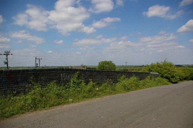
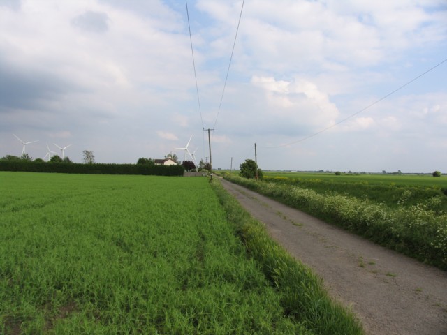
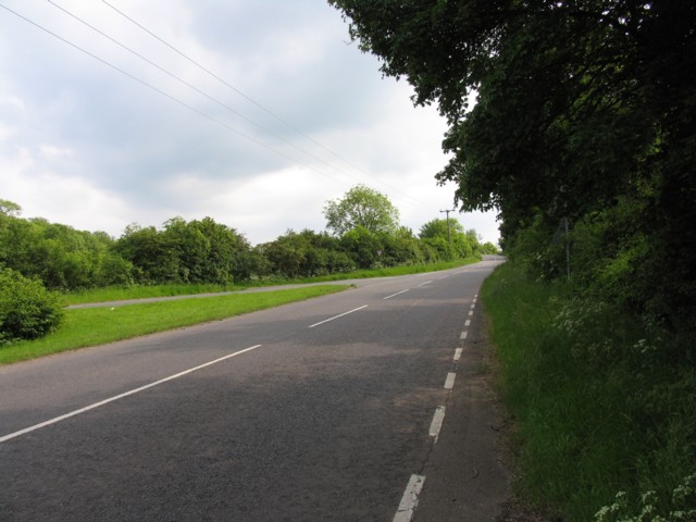
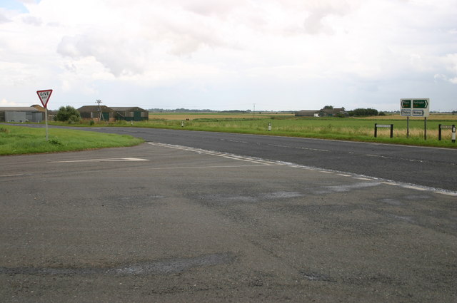
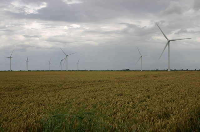
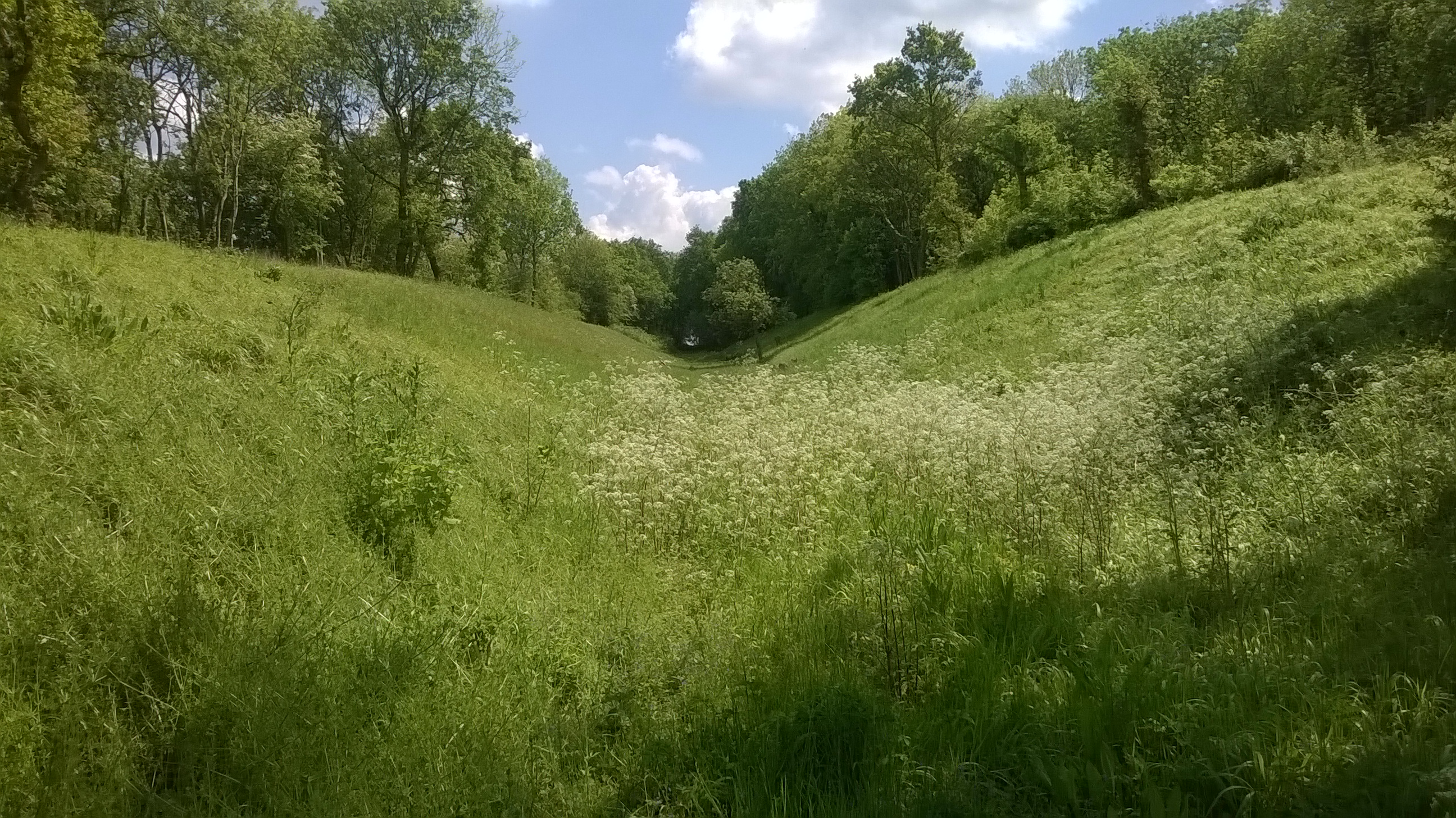
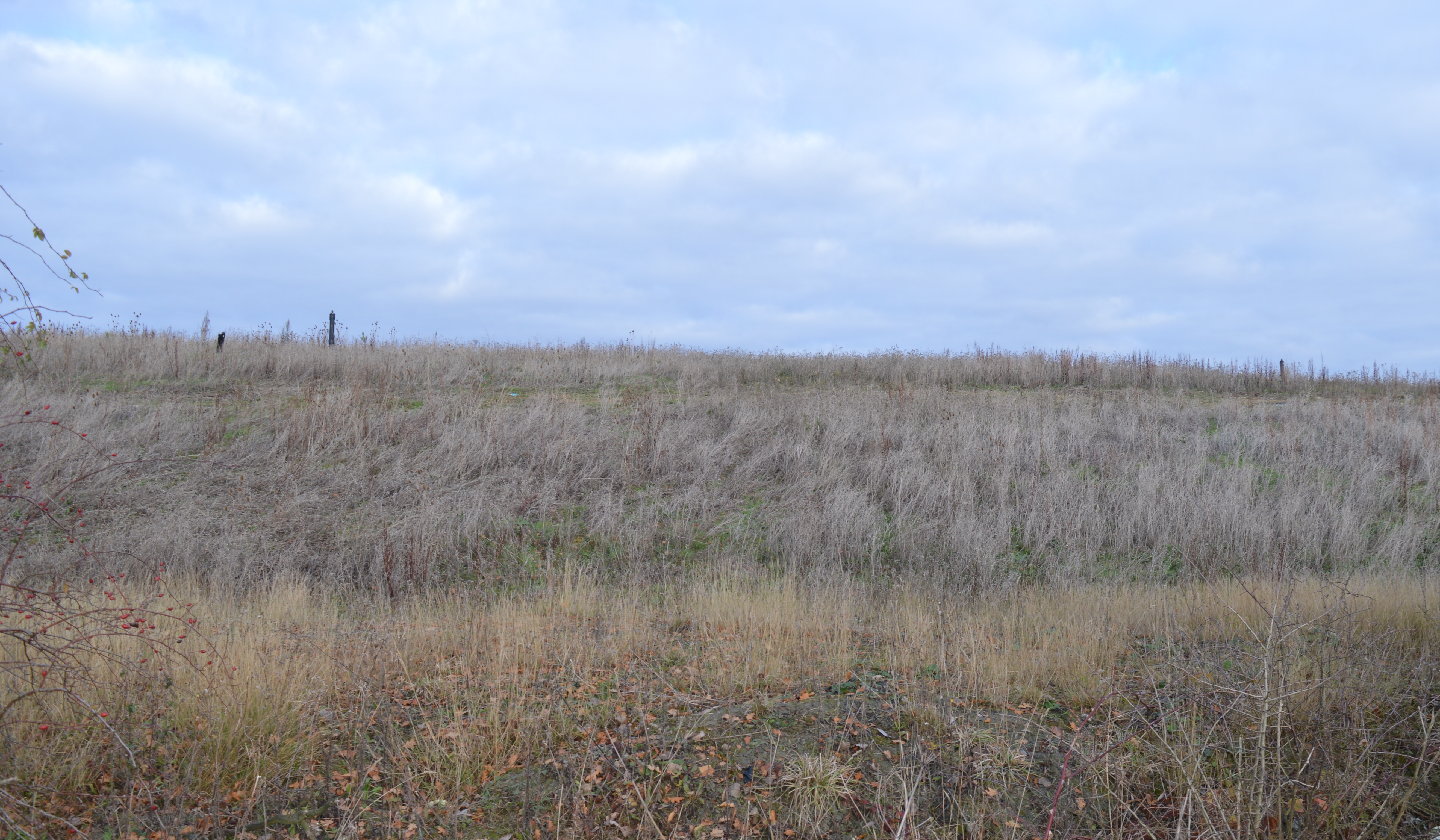
Fox Hole Hill Images
Images are sourced within 2km of 52.416141/-0.046266136 or Grid Reference TL3281. Thanks to Geograph Open Source API. All images are credited.


Fox Hole Hill is located at Grid Ref: TL3281 (Lat: 52.416141, Lng: -0.046266136)
Administrative County: Cambridgeshire
District: Huntingdonshire
Police Authority: Cambridgeshire
What 3 Words
///should.tricycle.thinkers. Near Warboys, Cambridgeshire
Nearby Locations
Related Wikis
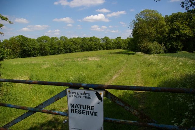
Pingle Cutting
Pingle Cutting is a 1.0-hectare (2.5-acre) nature reserve north of Warboys in Cambridgeshire. It is managed by the Wildlife Trust for Bedfordshire, Cambridgeshire...

Warboys railway station
Warboys railway station was a railway station in Warboys, Cambridgeshire, which opened in 1889 and closed completely in 1964. == References == == External... ==
Warboys Clay Pit
Warboys Clay Pit is a 12.6-hectare (31-acre) geological Site of Special Scientific Interest west of Warboys in Cambridgeshire. It is a Geological Conservation...

Warboys
Warboys is a large village and civil parish in the Huntingdonshire district of Cambridgeshire, England, 7 miles (11 km) north-east of Huntingdon. ��2...
Nearby Amenities
Located within 500m of 52.416141,-0.046266136Have you been to Fox Hole Hill?
Leave your review of Fox Hole Hill below (or comments, questions and feedback).