Fenside Cow Common

Downs, Moorland in Huntingdonshire Huntingdonshire

England

Fenside Cow Common

Fox Hole trig - looking SSE
Fox Hole trig - looking SSE Credit: Iain Macaulay

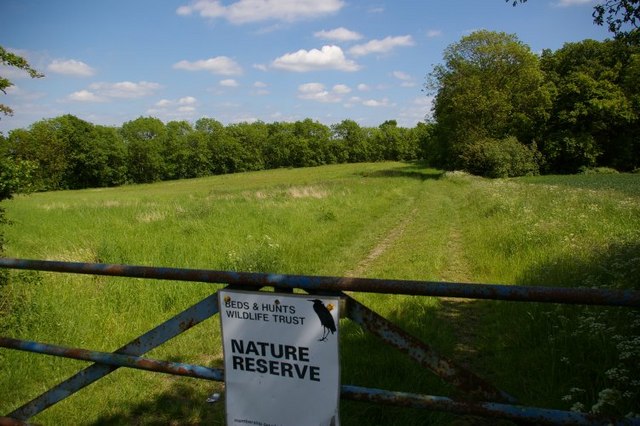
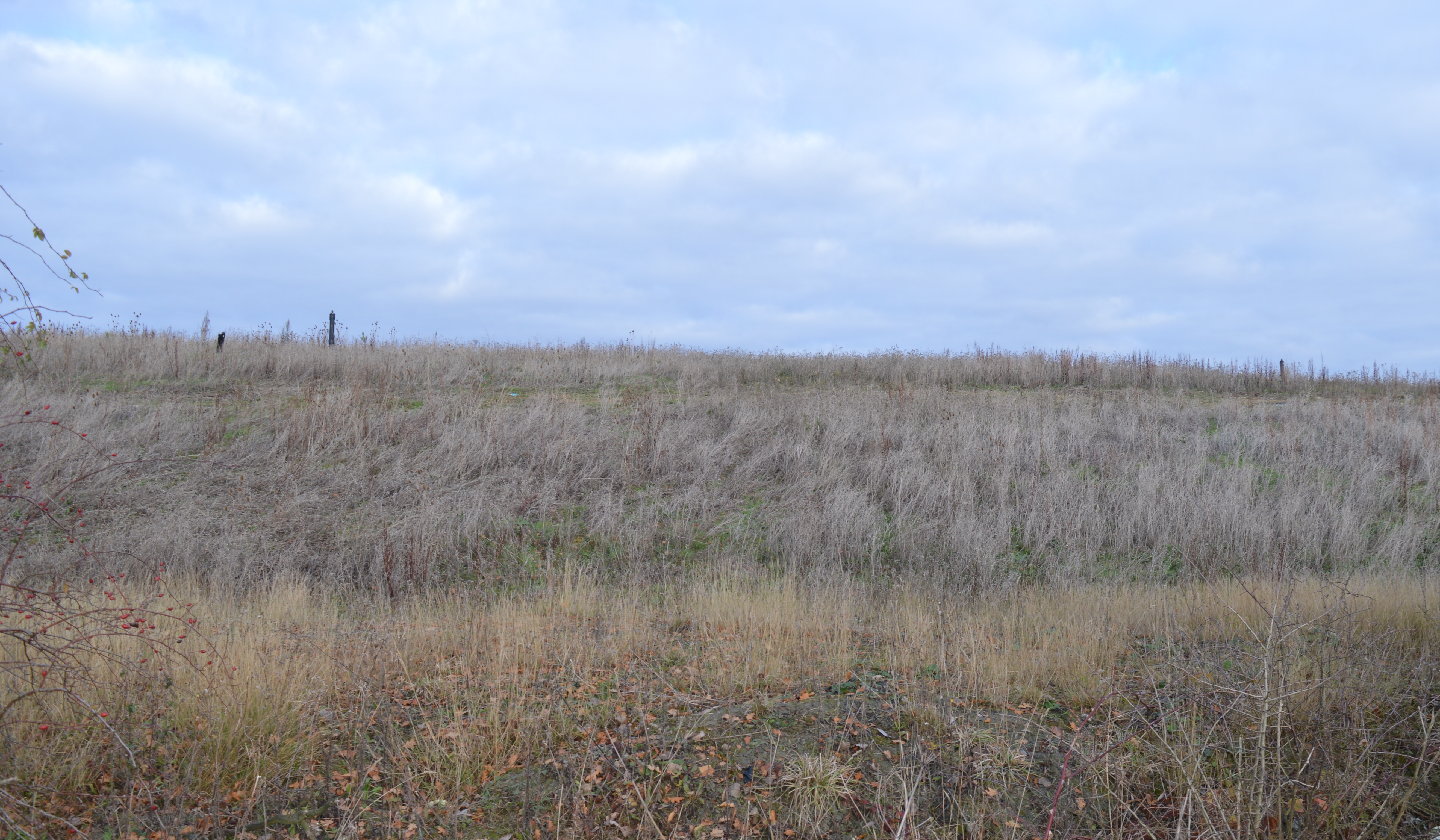
Fenside Cow Common is a designated area of downs and moorland located in Huntingdonshire, England. The common covers a vast expanse of rolling hills and open grasslands, providing a picturesque and natural landscape for visitors to enjoy. The area is predominantly used for grazing cattle, with numerous herds of cows roaming freely across the common.

The common is known for its rich biodiversity, with a variety of plant and animal species thriving in the diverse habitats present. Visitors to Fenside Cow Common can expect to see a range of bird species, including skylarks and meadow pipits, as well as insects such as butterflies and dragonflies.

The common is also a popular destination for wildlife enthusiasts and nature lovers, who come to explore the tranquil surroundings and observe the native flora and fauna. Walking and hiking trails crisscross the common, allowing visitors to explore the area at their own pace and take in the stunning views of the surrounding countryside.

Overall, Fenside Cow Common offers a peaceful and scenic retreat for those looking to escape the hustle and bustle of urban life and immerse themselves in the beauty of nature.

If you have any feedback on the listing, please let us know in the comments section below.

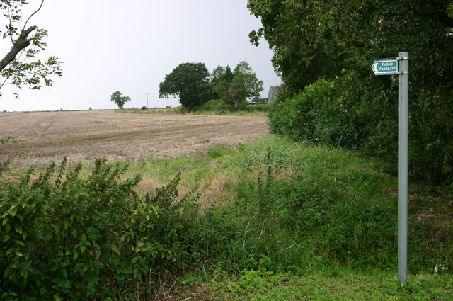
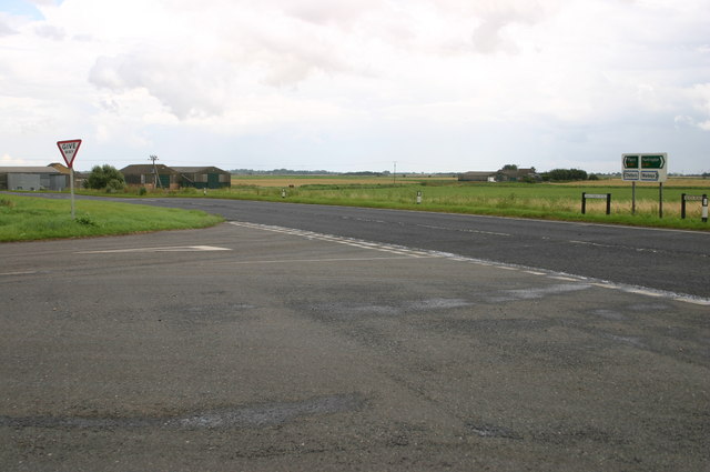
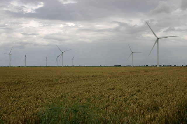
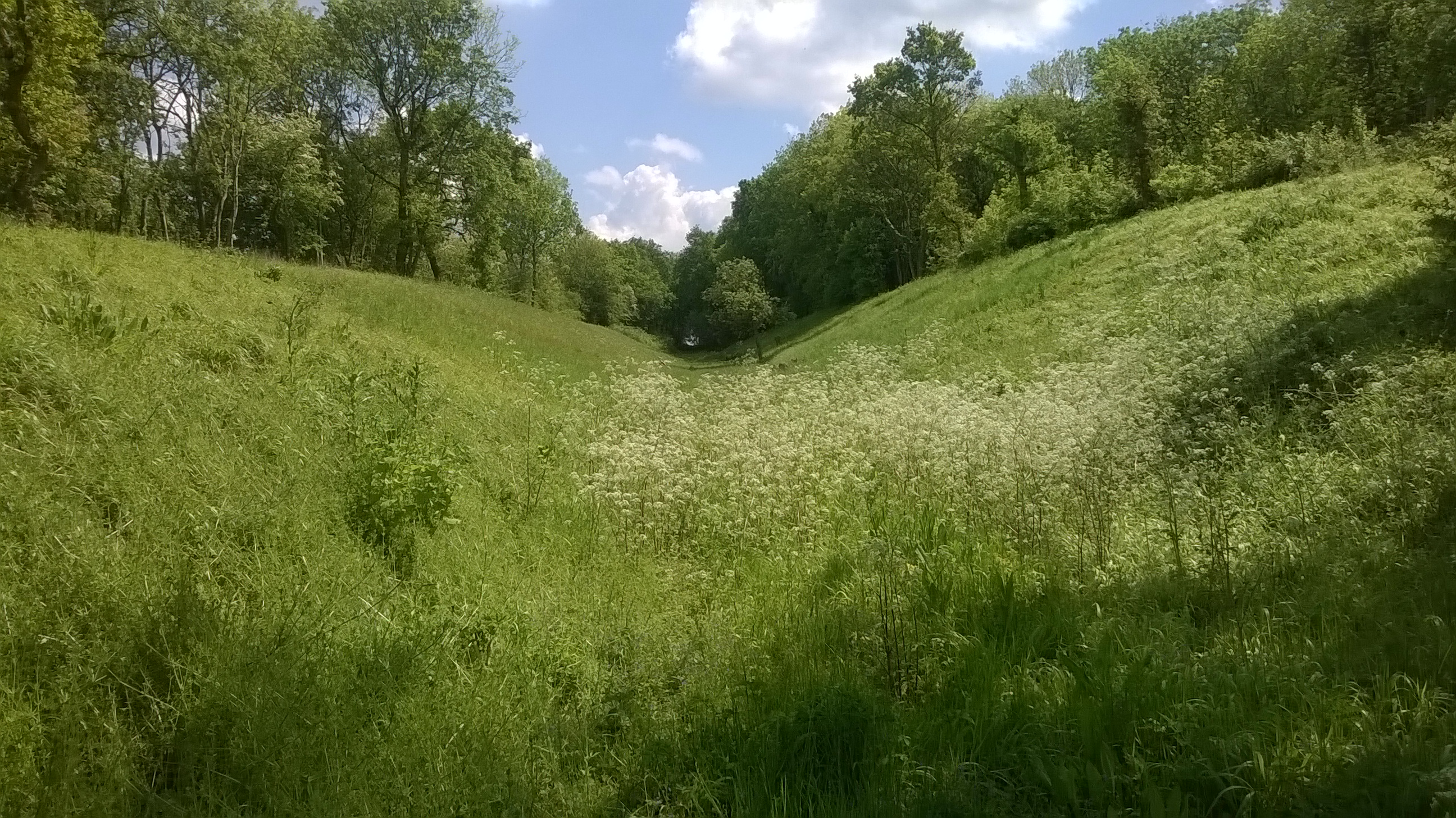
Fenside Cow Common Images

Images are sourced within 2km of 52.419024/-0.050388734 or Grid Reference TL3281. Thanks to Geograph Open Source API. All images are credited.

Fox Hole trig - looking SSE
Nature reserve and gate
Parapet of bridge over disused railway carrying minor road over Great Eastern Ramsey branch There was a station serving Warboys here - see <span class="nowrap"><a title="http://www.disused-stations.org.uk/w/warboys/index.shtml" rel="nofollow ugc noopener" href="http://www.disused-stations.org.uk/w/warboys/index.shtml">Link</a><img style="margin-left:2px;" alt="External link" title="External link - shift click to open in new window" src="https://s1.geograph.org.uk/img/external.png" width="10" height="10"/></span> for information on the station (which closed to passengers in 1930!) and the history of this branch line.
Parapet of bridge over disused railway carrying minor road over Great Eastern Ramsey branch
There was a station serving Warboys here - see LinkExternal link for information on the station (which closed to passengers in 1930!) and the history of this branch line.
New Barn Drove
New Barn Drove
Hobb's Drain southwards
New Barn Drove
New Barn Drove
Meeting of the drains
Draining the fens
Draining the fens
Puddock Hill southwards
Houses on Puddock Hill
Footpath at Humbrills farm Footpath at Humbrills farm
Footpath at Humbrills farm
The road to Warboys passes Rose Cottage farm The road to Warboys passes Rose Cottage farm
The road to Warboys passes Rose Cottage farm
Across the A141 the hedged line of the dismantled railway Across the A141 the hedged line of the dismantled railway
Across the A141 the hedged line of the dismantled railway
Fenside road passes a bridleway Fenside road passes a bridleway
Fenside road passes a bridleway
Fenside road junction with the A141 at Chapel Head Fenside road junction with the A141 at Chapel Head
Fenside road junction with the A141 at Chapel Head
Wind farm field by the A141 Wind farm field by the A141
Wind farm field by the A141
Wistow Fen Drove below Greenacres Farm into Wistow Fen
Wistow Fen
Drove below Greenacres Farm into Wistow Fen
First Broadpool Drove First Broadpool Drove passes the straw bales
First Broadpool Drove
First Broadpool Drove passes the straw bales
Show me another place!

Fenside Cow Common is located at Grid Ref: TL3281 (Lat: 52.419024, Lng: -0.050388734)

Administrative County: Cambridgeshire

District: Huntingdonshire

Police Authority: Cambridgeshire

What 3 Words

///horseshoe.tutorial.compiler. Near Warboys, Cambridgeshire

Related Wikis

Pingle Cutting

Pingle Cutting is a 1.0-hectare (2.5-acre) nature reserve north of Warboys in Cambridgeshire. It is managed by the Wildlife Trust for Bedfordshire, Cambridgeshire...

Warboys railway station

Warboys railway station was a railway station in Warboys, Cambridgeshire, which opened in 1889 and closed completely in 1964. == References == == External... ==

Warboys Clay Pit

Warboys Clay Pit is a 12.6-hectare (31-acre) geological Site of Special Scientific Interest west of Warboys in Cambridgeshire. It is a Geological Conservation...

Warboys

Warboys is a large village and civil parish in the Huntingdonshire district of Cambridgeshire, England, 7 miles (11 km) north-east of Huntingdon. ��2...

Nearby Amenities

Located within 500m of 52.419024,-0.050388734
Building: yes
Lat/Long: 52.4200006/-0.0448243
Building: yes
Lat/Long: 52.4185867/-0.0455718
The data included in this document is from www.openstreetmap.org. The data is made available under ODbL.

Have you been to Fenside Cow Common?

Leave your review of Fenside Cow Common below (or comments, questions and feedback).