Park Hill
Hill, Mountain in Surrey
England
Park Hill
The requested URL returned error: 429 Too Many Requests
If you have any feedback on the listing, please let us know in the comments section below.
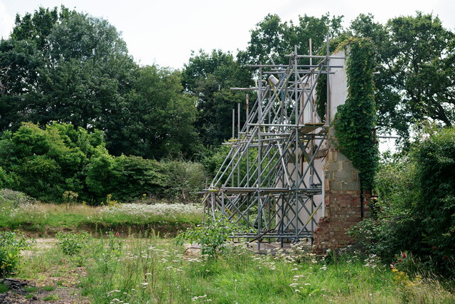
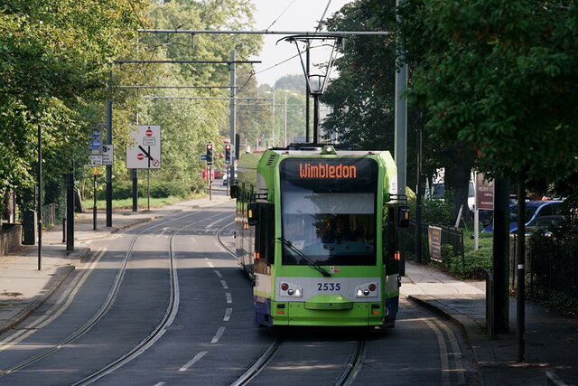
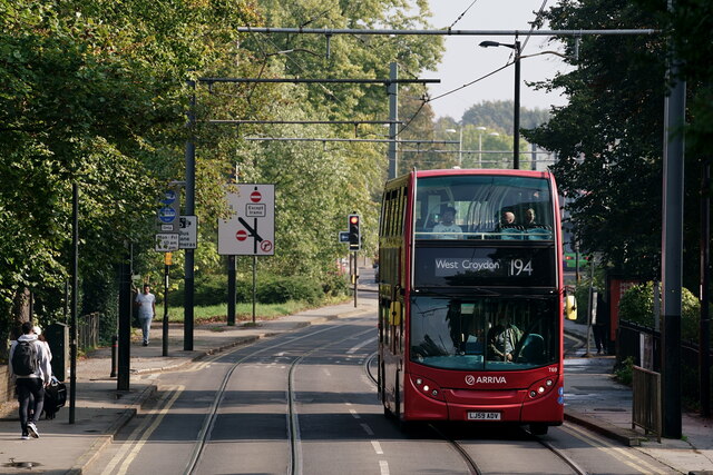
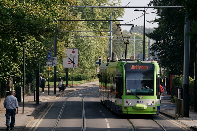
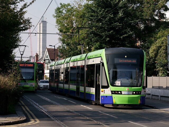
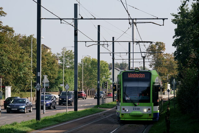
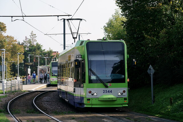
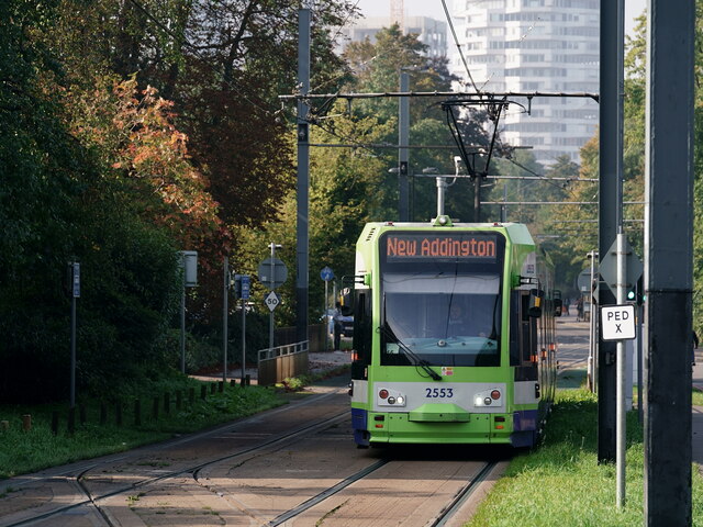
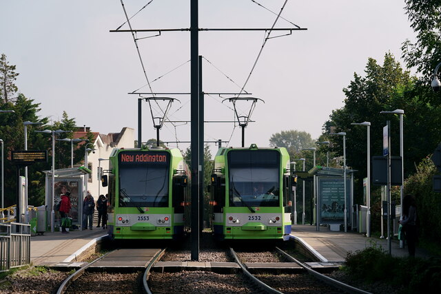
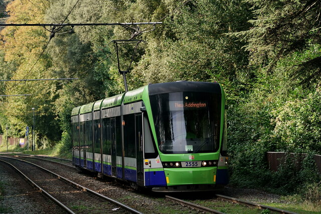
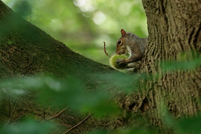
Park Hill Images
Images are sourced within 2km of 51.368109/-0.090283348 or Grid Reference TQ3364. Thanks to Geograph Open Source API. All images are credited.


Park Hill is located at Grid Ref: TQ3364 (Lat: 51.368109, Lng: -0.090283348)
Unitary Authority: Croydon
Police Authority: Metropolitan
What 3 Words
///cube.dusty.rotate. Near South Croydon, London
Nearby Locations
Related Wikis
Cambridge Tutors College
Cambridge Tutors College is a private school and sixth form situated in South Croydon, outer London. It was founded in 1958 as a tutorial centre to help...
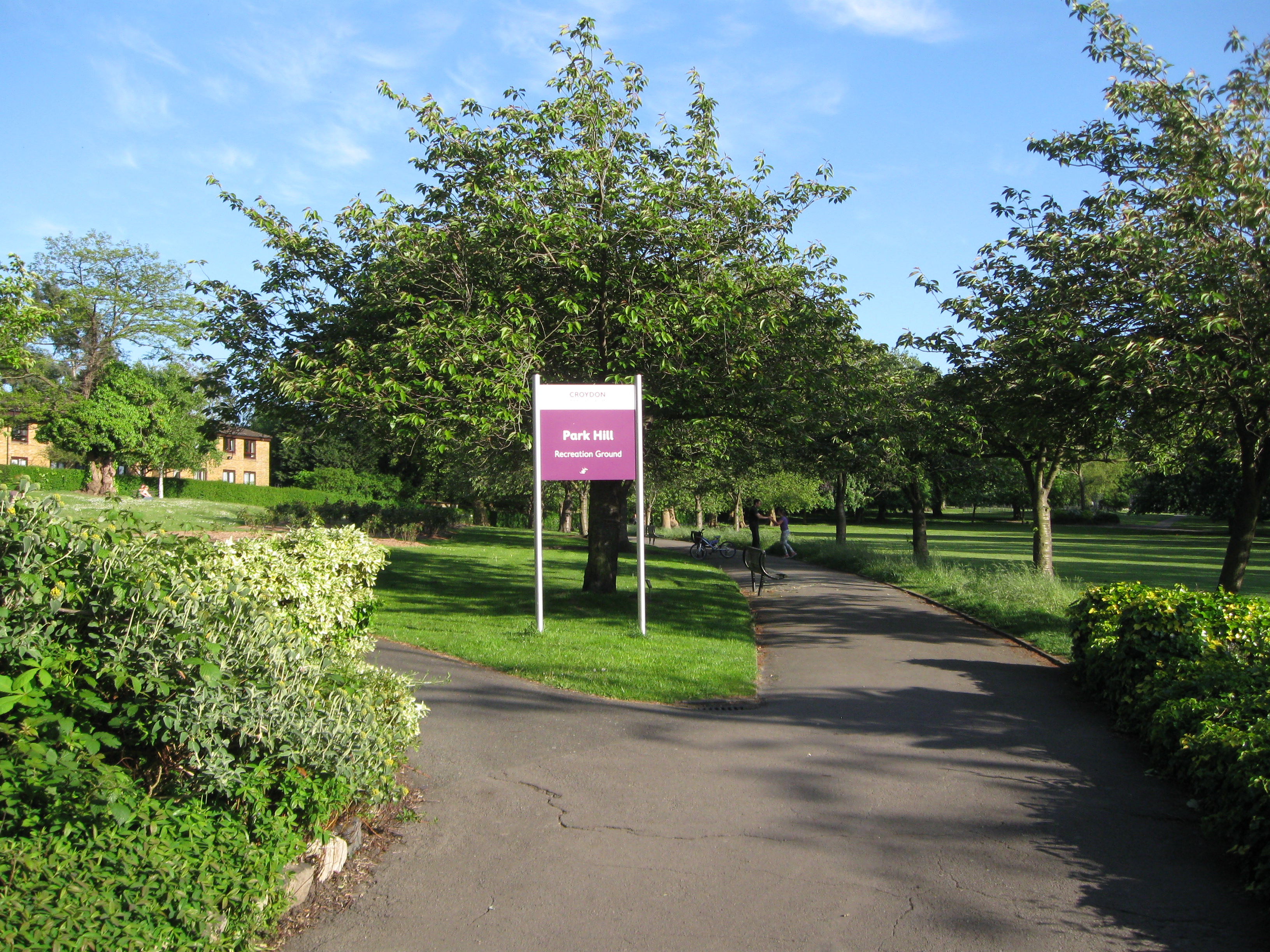
Park Hill Recreation Ground
Park Hill Recreation Ground is a 15 acres (6.1 ha) park near the centre of Croydon, Greater London, managed by the London Borough of Croydon. It runs from...

Fairfield (Croydon ward)
Fairfield is a ward in the London Borough of Croydon, covering most of the Croydon area of London in the United Kingdom. The ward currently forms part...

Ruskin House
Ruskin House, situated in its own grounds on Coombe Road, Croydon, South London, has been a centre of Britain's progressive movements for a century. It...
Nearby Amenities
Located within 500m of 51.368109,-0.090283348Have you been to Park Hill?
Leave your review of Park Hill below (or comments, questions and feedback).