Bright's Hill
Hill, Mountain in Hertfordshire East Hertfordshire
England
Bright's Hill

Bright's Hill is a prominent geographical feature located in the county of Hertfordshire, England. Situated in the eastern part of the county, this hill is part of the Chiltern Hills, a range known for its outstanding natural beauty. With an elevation of approximately 210 meters (690 feet), Bright's Hill is among the highest points in Hertfordshire, offering breathtaking panoramic views of the surrounding landscape.
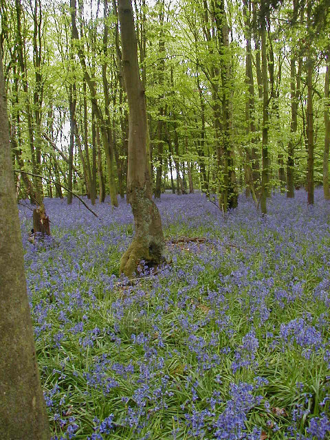
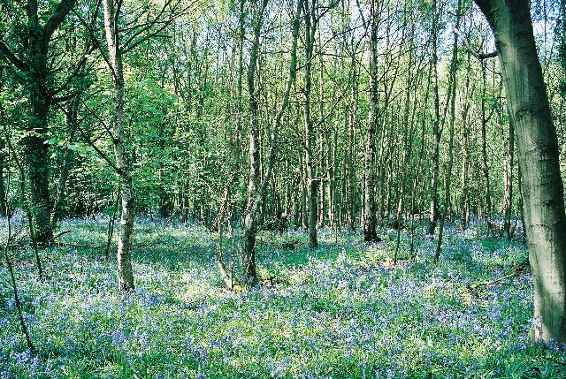
The hill is covered in lush greenery, predominantly characterized by dense woodland, interspersed with open grassland. The diverse vegetation supports a rich array of wildlife, making Bright's Hill a popular destination for nature enthusiasts and hikers. The hilltop is accessible via well-maintained footpaths, providing an enjoyable and rewarding trek for visitors.
The area surrounding Bright's Hill is steeped in history, with archaeological evidence suggesting human habitation dating back to the Neolithic period. The hill's strategic location has made it a site of interest throughout history, with evidence of Iron Age and Roman settlements in the vicinity.
Today, Bright's Hill is a protected area, designated as a Site of Special Scientific Interest (SSSI), due to its ecological significance and historical importance. It is managed by local authorities and conservation organizations to preserve its natural beauty and cultural heritage.
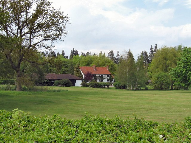
In addition to its natural and historical appeal, Bright's Hill also serves as a recreational space, offering opportunities for outdoor activities such as walking, picnicking, and birdwatching. Its tranquil surroundings and stunning vistas make it an idyllic spot for visitors seeking respite from the hustle and bustle of urban life.
If you have any feedback on the listing, please let us know in the comments section below.
Bright's Hill Images
Images are sourced within 2km of 51.836347/-0.12782698 or Grid Reference TL2916. Thanks to Geograph Open Source API. All images are credited.


Bright's Hill is located at Grid Ref: TL2916 (Lat: 51.836347, Lng: -0.12782698)
Administrative County: Hertfordshire
District: East Hertfordshire
Police Authority: Hertfordshire
What 3 Words
///guitar.risen.duty. Near Watton at Stone, Hertfordshire
Nearby Locations
Related Wikis

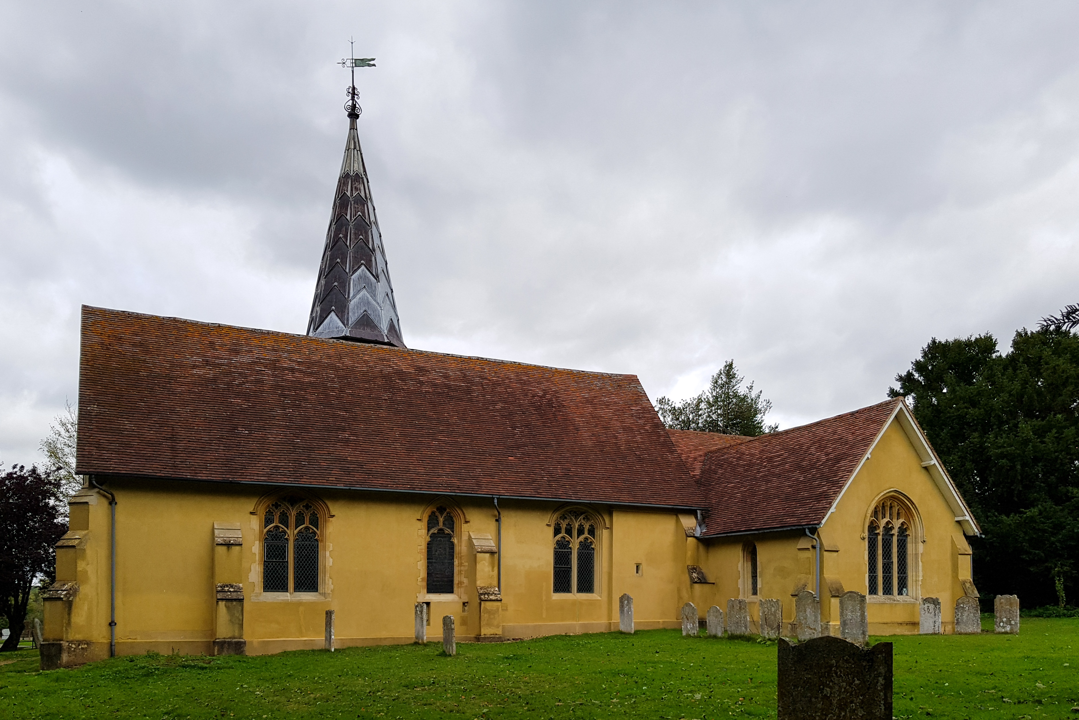
Bramfield, Hertfordshire
Bramfield is a village and civil parish in the East Hertfordshire district, in the county of Hertfordshire, England. Nearby settlements include Hertford...

Stapleford railway station
Stapleford railway station was a station on the Hertford Loop Line, and was situated in the village of Stapleford, Hertfordshire, England. == History... ==
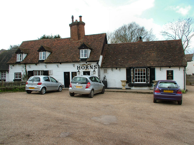
The Horns, Bull's Green
The Horns is a public house in Datchworth, Hertfordshire, England. It is situated on Bramfield Road in Bull's Green, a hamlet in the parish of Datchworth...
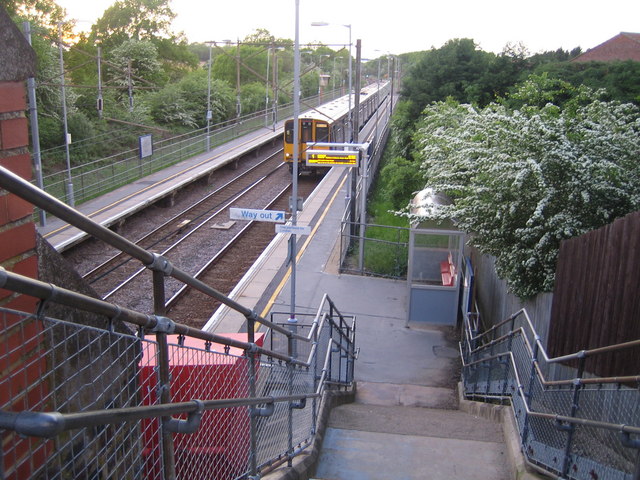
Watton-at-Stone railway station
Watton-at-Stone railway station serves the village of Watton-at-Stone in Hertfordshire, England. It is 23 miles 72 chains (23.90 miles, 38.46 km) down...

Hopper's Hall
Hopper's Hall is a grade II listed house in Watton Road, Datchworth, Hertfordshire. It dates from around 1640 with minor additions and alterations since...

The Tilbury, Datchworth
The Tilbury is a public house and restaurant in Datchworth, Hertfordshire, England. It was formerly known as The Inn on the Green and The Three Horseshoes...
Stapleford, Hertfordshire
Not to be confused with Stapleford, Nottinghamshire. Stapleford is a village and civil parish of 134 acres (54 ha) on the A119 road, in the East Hertfordshire...
Watton-at-Stone
Watton-at-Stone is a village and civil parish in Hertfordshire, England, and is midway between the towns of Stevenage and Hertford in the valley of the...
Nearby Amenities
Located within 500m of 51.836347,-0.12782698Have you been to Bright's Hill?
Leave your review of Bright's Hill below (or comments, questions and feedback).