Coles Hill

Hill, Mountain in Hertfordshire Welwyn Hatfield

England

Coles Hill

Church of St Thomas A Becket, Northaw It's there if you look closely
Church of St Thomas A Becket, Northaw Credit: David Howard

Coles Hill is a prominent hill located in the county of Hertfordshire, England. Situated near the village of Thundridge, it forms part of the East Hertfordshire district. The hill's summit stands at an elevation of approximately 102 meters (335 feet) above sea level, making it a notable feature in the surrounding landscape.

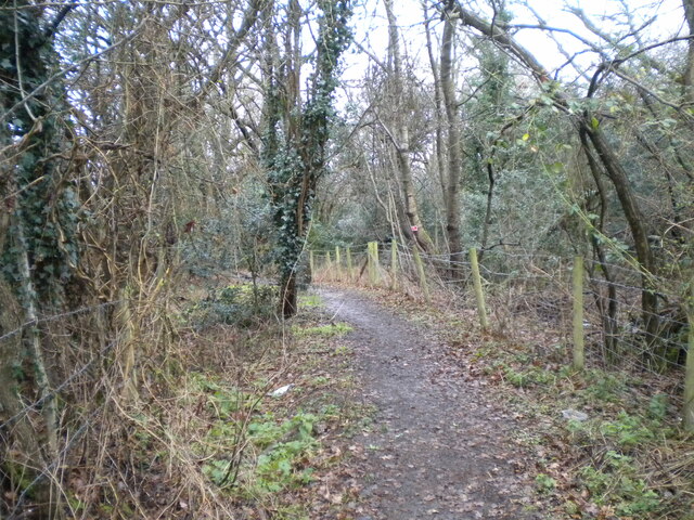
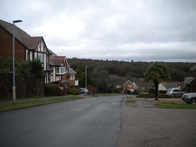
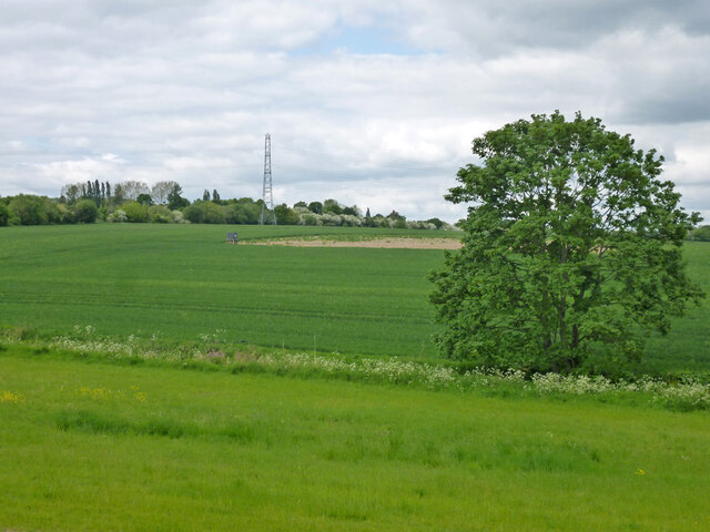
Covered in lush greenery and sprawling fields, Coles Hill offers picturesque views of the Hertfordshire countryside. It is primarily composed of chalk and flint, giving it a distinct appearance and contributing to its natural beauty. The hill is a popular destination for outdoor enthusiasts, nature lovers, and those seeking a peaceful retreat from the hustle and bustle of everyday life.

Coles Hill is also steeped in historical significance. It is believed to have been inhabited since ancient times, with evidence of Iron Age settlements discovered in the surrounding area. The hill has also been associated with various historical events, including the Battle of Cole's Hill, which took place during the English Civil War in 1643.

In addition to its historical and natural charm, Coles Hill offers several recreational activities for visitors. It is a favored spot for walking, hiking, and picnicking, with numerous footpaths and trails winding through its slopes. The hill is also home to a diverse range of flora and fauna, making it a haven for wildlife enthusiasts and birdwatchers.

Overall, Coles Hill in Hertfordshire is a captivating destination that combines natural beauty, historical significance, and recreational opportunities, making it a must-visit location for both locals and tourists alike.

If you have any feedback on the listing, please let us know in the comments section below.
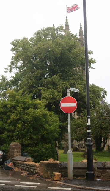
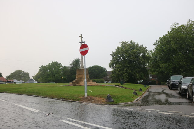
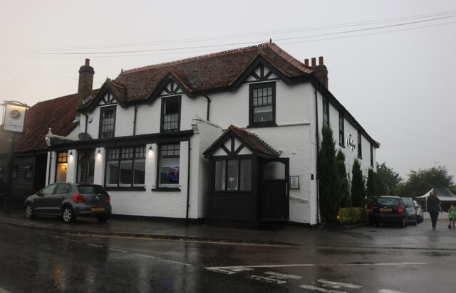
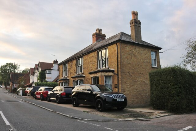
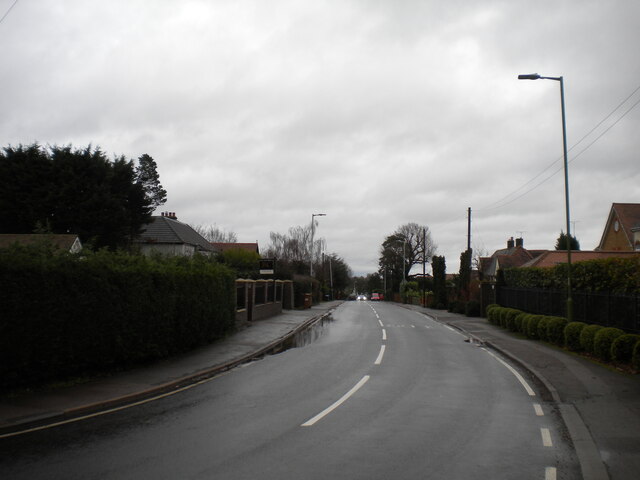
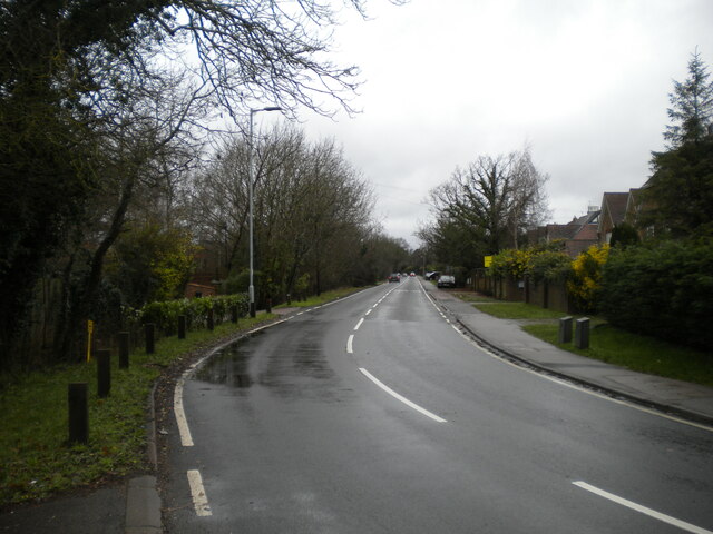
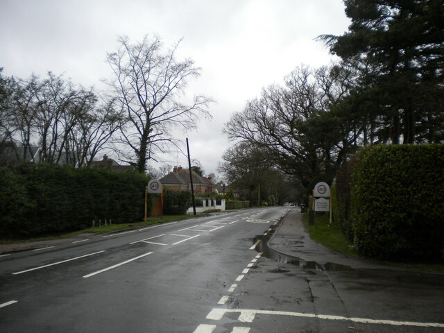
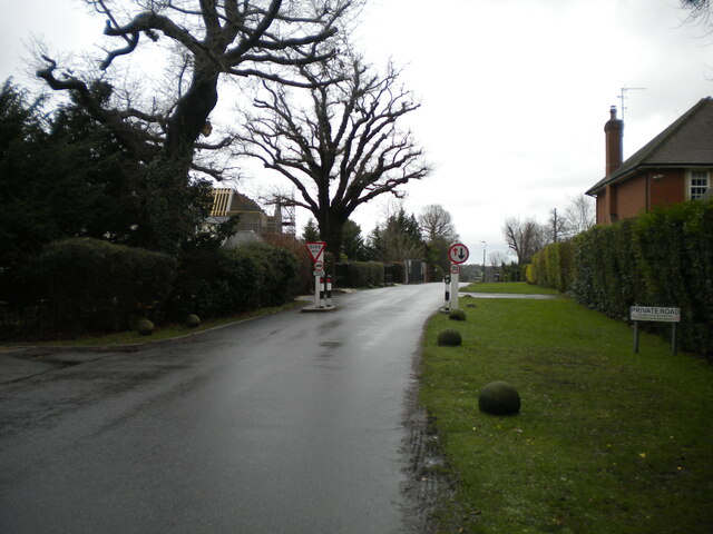
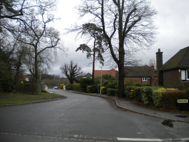
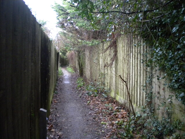
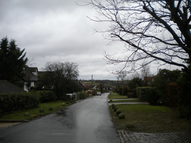
Coles Hill Images

Images are sourced within 2km of 51.700007/-0.13512413 or Grid Reference TL2801. Thanks to Geograph Open Source API. All images are credited.

Church of St Thomas A Becket, Northaw It's there if you look closely
Church of St Thomas A Becket, Northaw
It's there if you look closely
Northaw Green and memorial
Judge's pub, Northaw Finally fully open after the lockdowns
Judge's pub, Northaw
Finally fully open after the lockdowns
Northaw Road West
Northaw Road West
East Ridgeway, Cuffley
The Ridgeway, Cuffley (1)
Public footpath off The Ridgeway, Cuffley Part of the Hertfordshire Way.
Public footpath off The Ridgeway, Cuffley
Part of the Hertfordshire Way.
The Ridgeway, Cuffley (2) At its junction with Hanyards Lane.
The Ridgeway, Cuffley (2)
At its junction with Hanyards Lane.
Haynards Lane, Cuffley (1) Seen from near its junction with The Ridgeway.
Haynards Lane, Cuffley (1)
Seen from near its junction with The Ridgeway.
Bradgate, Cuffley Off Hanyards Lane.
Bradgate, Cuffley
Off Hanyards Lane.
Footpath off Haynards Lane, Cuffley Leading to Sutherland Avenue.
Footpath off Haynards Lane, Cuffley
Leading to Sutherland Avenue.
Haynards Lane, Cuffley (2) Seen from its junction with Bradgate.
Haynards Lane, Cuffley (2)
Seen from its junction with Bradgate.
Hill Rise, Cuffley Seen from its junction with Wood View.
Hill Rise, Cuffley
Seen from its junction with Wood View.
Clockwise M25, Enfield Officially named the London Orbital and frequently derided as nothing more than a very big car park, the M25 is a 117-mile orbital motorway that encircles London; one of the world's biggest ring roads (Europe's second longest orbital road after the Berliner Ring, which is 122 miles). It is not, however, a continuous loop of motorway as the Dartford Crossing section (comprising the Dartford Tunnels and the Queen Elizabeth II Bridge) over the Thames and its approach roads are designated as the A282. 

Constructed between 1975 and 1986, the M25 is reputedly the most expensive motorway Britain ever built, costing a total of £909m or roughly £7.5m per mile, but at the time of its planning, the demand for the road was considerably underestimated so that when it was finally completed in 1986, it was already out of date. Demand outstripped capacity within a few years and ever since then it's been very heavily congested. 

The M25 is one of the UK’s busiest motorways, carrying up to 200,000 vehicles and 10,000 HGVs per day (AADT - Annual Average Daily Traffic flow) on the section near to Heathrow Airport. Since its opening in the 1980s, the southern, western and eastern sections have been widened to largely dual four lane (D4M) standard, but much of the motorway retains its dual three lane road (D3M) cross-section as originally built. 

The M25 was home to England's first Variable Speed Limits on motorways between the A3 and M4 in the early 1990s.

<span class="nowrap"><a title="http://www.cbrd.co.uk/motorway/m25/" rel="nofollow ugc noopener" href="http://www.cbrd.co.uk/motorway/m25/">Link</a><img style="margin-left:2px;" alt="External link" title="External link - shift click to open in new window" src="https://s1.geograph.org.uk/img/external.png" width="10" height="10"/></span>  cbrd
<span class="nowrap"><a title="http://www.sabre-roads.org.uk/wiki/index.php?title=M25" rel="nofollow ugc noopener" href="http://www.sabre-roads.org.uk/wiki/index.php?title=M25">Link</a><img style="margin-left:2px;" alt="External link" title="External link - shift click to open in new window" src="https://s1.geograph.org.uk/img/external.png" width="10" height="10"/></span>  SABRE
Clockwise M25, Enfield
Officially named the London Orbital and frequently derided as nothing more than a very big car park, the M25 is a 117-mile orbital motorway that encircles London; one of the world's biggest ring roads (Europe's second longest orbital road after the Berliner Ring, which is 122 miles). It is not, however, a continuous loop of motorway as the Dartford Crossing section (comprising the Dartford Tunnels and the Queen Elizabeth II Bridge) over the Thames and its approach roads are designated as the A282. Constructed between 1975 and 1986, the M25 is reputedly the most expensive motorway Britain ever built, costing a total of £909m or roughly £7.5m per mile, but at the time of its planning, the demand for the road was considerably underestimated so that when it was finally completed in 1986, it was already out of date. Demand outstripped capacity within a few years and ever since then it's been very heavily congested. The M25 is one of the UK’s busiest motorways, carrying up to 200,000 vehicles and 10,000 HGVs per day (AADT - Annual Average Daily Traffic flow) on the section near to Heathrow Airport. Since its opening in the 1980s, the southern, western and eastern sections have been widened to largely dual four lane (D4M) standard, but much of the motorway retains its dual three lane road (D3M) cross-section as originally built. The M25 was home to England's first Variable Speed Limits on motorways between the A3 and M4 in the early 1990s. LinkExternal link cbrd LinkExternal link SABRE
Christmas scene in Cuffley
Farmland north of Northaw Brook
St Andrew's Church, Cuffley The Church of England establishment in the village. Seen from the end of Station Road.
St Andrew's Church, Cuffley
The Church of England establishment in the village. Seen from the end of Station Road.
Life Church, Cuffley Apparently an independent evangelical church. Seen from Plough Hill.
Life Church, Cuffley
Apparently an independent evangelical church. Seen from Plough Hill.
Show me another place!

Coles Hill is located at Grid Ref: TL2801 (Lat: 51.700007, Lng: -0.13512413)

Administrative County: Hertfordshire

District: Welwyn Hatfield

Police Authority: Hertfordshire

What 3 Words

///gender.swung.fumes. Near Cuffley, Hertfordshire

Nearby Locations

Coles Hill

Related Wikis

Northaw and Cuffley

Northaw and Cuffley is a civil parish in the Welwyn Hatfield borough of Hertfordshire, England. Located approximately 13.5 miles (21.7 km) north of central...

Northaw

Northaw is a village in the Welwyn Hatfield district of Hertfordshire, England. It is part of the civil parish of Northaw and Cuffley (where at the 2011...

The Dower House, Northaw

The Dower House is a Grade II* listed house in Cooper's Lane between Potters Bar and Northaw in Hertfordshire, England. It was built in 1749 and was formerly...

Cuffley

Cuffley is a village in the civil parish of Northaw and Cuffley, in the Welwyn Hatfield district of south-east Hertfordshire located between Cheshunt and...

Cuffley railway station

Cuffley railway station serves the village of Cuffley in the Welwyn Hatfield district of Hertfordshire. It also serves other nearby settlements, namely...

The Chequers, Potters Bar

The Chequers was a public house which occupied a Grade II listed building in Potters Bar, England. Originally opening in the 1700s, the pub moved site...

Northaw Place

Northaw Place is a Grade II* listed former mansion house, later a school and children's home, in Northaw and Cuffley, Hertfordshire, England. Northaw Place...

St John's Senior School

St. John's Prep and Senior School is an English all-through school, co-educational day school near the M25 motorway in The Ridgeway, Botany Bay, Enfield...

Nearby Amenities

Located within 500m of 51.700007,-0.13512413
Ele: 58.765747
Lat/Long: 51.6996183/-0.1298428
Ele: 58.777710
Lat/Long: 51.6995939/-0.1294161
Ele: 58.777710
Lat/Long: 51.6996767/-0.1308524
Mini Roundabout
Ele: 66.456299
Lat/Long: 51.7013231/-0.1414863
Bus Stop
Northaw Road West
Naptan AtcoCode: 210021603560
Naptan Bearing: W
Naptan CommonName: Northaw Road West
Naptan Indicator: W-bound
Naptan Landmark: Unknown
Naptan NaptanCode: hrtapjgw
Naptan ShortCommonName: NA
Naptan Street: Northaw Road West
Naptan Verified: no
Public Transport: platform
Shelter: no
Source: naptan_import
Lat/Long: 51.6997513/-0.1330169
Bus Stop
Northaw Road West
Naptan AtcoCode: 210021604180
Naptan Bearing: E
Naptan CommonName: Northaw Road West
Naptan Indicator: E-bound
Naptan Landmark: Unknown
Naptan NaptanCode: hrtapgwt
Naptan ShortCommonName: NA
Naptan Street: Northaw Road West
Naptan Verified: no
Public Transport: platform
Source: naptan_import
Lat/Long: 51.6998794/-0.1331563
Traffic Calming: cushion
Lat/Long: 51.7015647/-0.1418781
The data included in this document is from www.openstreetmap.org. The data is made available under ODbL.

Have you been to Coles Hill?

Leave your review of Coles Hill below (or comments, questions and feedback).