Southwick Hill
Hill, Mountain in Sussex Adur
England
Southwick Hill
Southwick Hill is a prominent landform located in the county of Sussex, in the southeast region of England. It is classified as a hill rather than a mountain, as its elevation does not meet the criteria to be considered a mountain. However, despite its classification, Southwick Hill provides breathtaking panoramic views of the surrounding area.
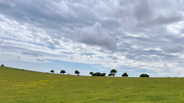
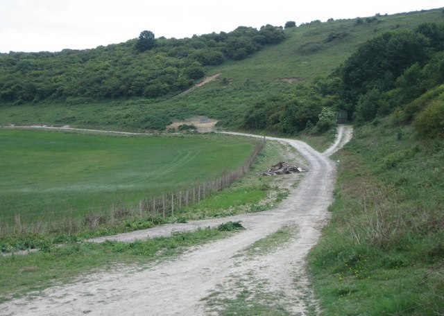
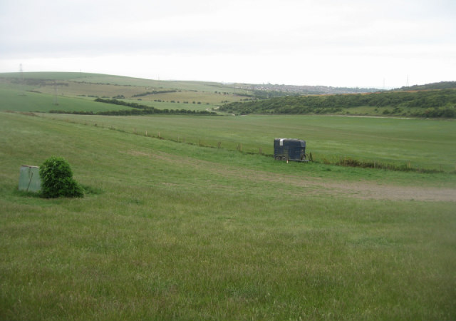
With an elevation of approximately 85 meters (280 feet), Southwick Hill stands as a prominent feature in the landscape. It is part of the South Downs, a range of chalk hills that stretches across the southern coastline of England. The hill is situated near the village of Southwick, just a few miles northwest of the city of Brighton and Hove.
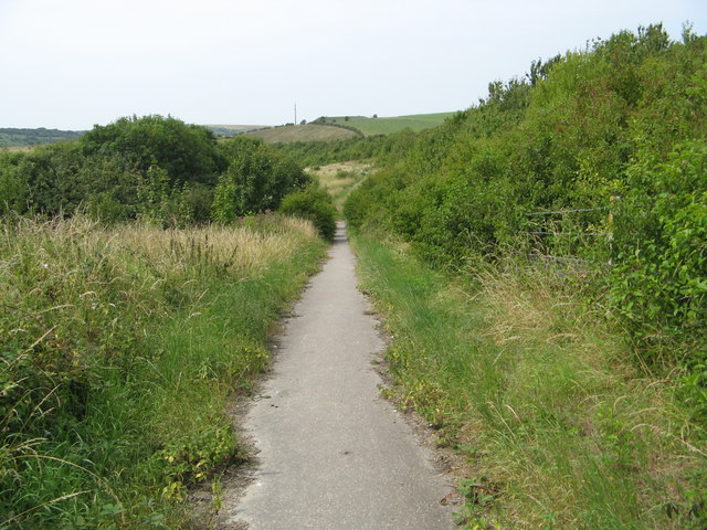
The summit of Southwick Hill offers a commanding view of the English Channel to the south and the Sussex countryside to the north. On a clear day, visitors can enjoy stunning vistas of the rolling hills, picturesque farmlands, and the sparkling waters of the Channel. It is a popular spot for hikers and nature enthusiasts who appreciate the serenity and natural beauty of the area.
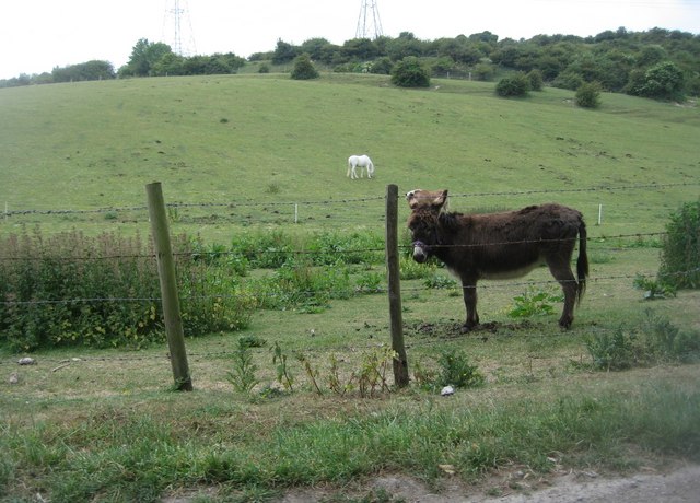
The hill is also home to a diverse range of flora and fauna, including several species of birds, butterflies, and wildflowers. It provides a habitat for various wildlife and forms an important part of the South Downs National Park, a protected area known for its ecological significance.
Overall, Southwick Hill is a captivating natural feature that offers visitors a chance to immerse themselves in the beauty of the Sussex countryside while enjoying sweeping views of the surrounding landscape.
If you have any feedback on the listing, please let us know in the comments section below.
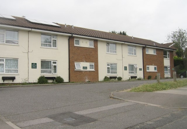
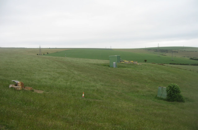
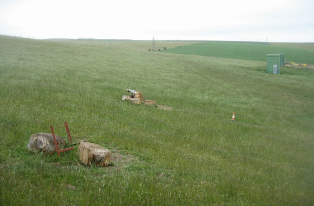
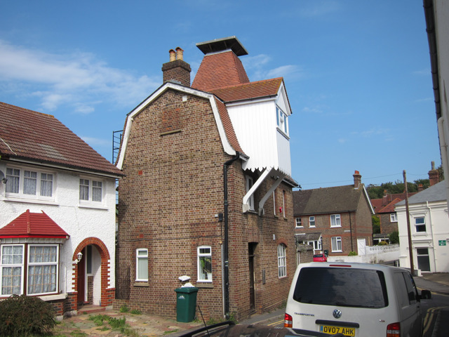
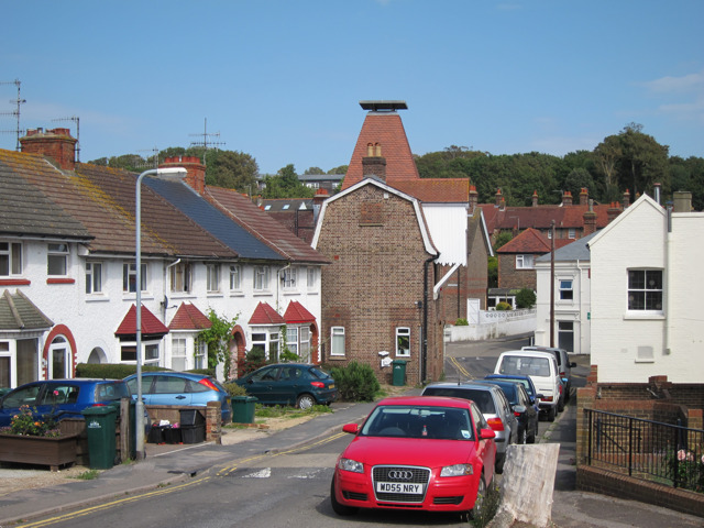
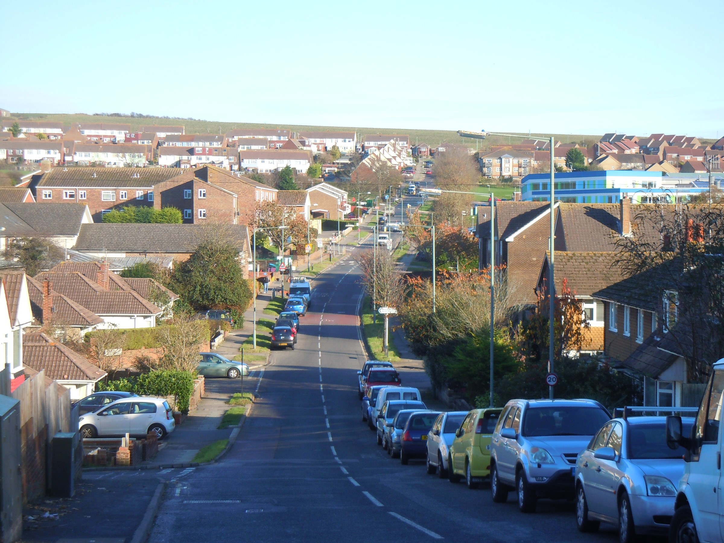
Southwick Hill Images
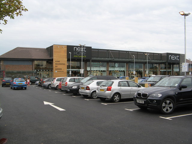
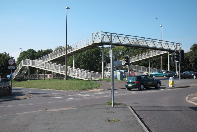
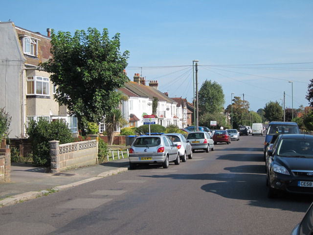
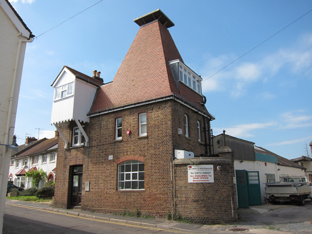
Images are sourced within 2km of 50.855608/-0.24124279 or Grid Reference TQ2307. Thanks to Geograph Open Source API. All images are credited.
Southwick Hill is located at Grid Ref: TQ2307 (Lat: 50.855608, Lng: -0.24124279)
Administrative County: West Sussex
District: Adur
Police Authority: Sussex
What 3 Words
///lifts.home.claim. Near Portslade, East Sussex
Nearby Locations
Related Wikis
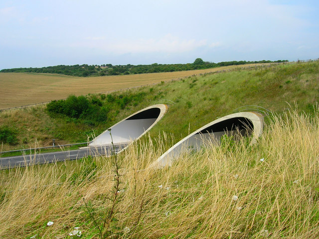
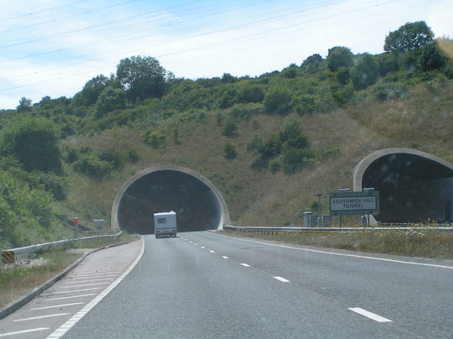
Southwick Hill Tunnel
The Southwick Hill Tunnel is a 490-metre twin-bore road tunnel to the north of Southwick, England. The tunnel was opened in early 1996 as part of the A27...
Mile Oak
Mile Oak is a locality forming the northern part of the former parish of Portslade in the northwest corner of the city of Brighton and Hove, England....
Southwick (electoral division)
Southwick is an electoral division of West Sussex in the United Kingdom, and returns one member to sit on West Sussex County Council. == Extent == The...

Mile Oak F.C.
Mile Oak Football Club are a football club based in Mile Oak ,Brighton and Hove, England. They were established in 1960 and joined the Sussex County League...
Nearby Amenities
Located within 500m of 50.855608,-0.24124279Have you been to Southwick Hill?
Leave your review of Southwick Hill below (or comments, questions and feedback).