Green Hill

Hill, Mountain in Yorkshire

England

Green Hill

Entrance  to  Westfield  Lakeland  Park  Fitling  Lane
Entrance to Westfield Lakeland Park Fitling Lane Credit: Martin Dawes

Green Hill is a scenic landmark located in the county of Yorkshire, England. Situated amidst the picturesque landscape of the Yorkshire Dales, this hill stands tall at an elevation of approximately 450 meters (1476 feet) above sea level. Although not classified as a mountain due to its height, Green Hill offers breathtaking views of the surrounding countryside and is a popular destination for nature enthusiasts, hikers, and photographers.

The hill is characterized by its lush green slopes, covered in a blanket of vibrant grasses and dotted with patches of heather, especially during the summer months. The undulating terrain adds to its charm, making it an ideal location for leisurely walks and picnics. The summit of Green Hill provides a panoramic vista of the rolling hills, valleys, and meandering rivers that define the Yorkshire Dales.

Green Hill is home to a rich array of flora and fauna, including various species of birds, wildflowers, and small mammals. It is not uncommon to spot grazing livestock, such as sheep and cows, as the area is predominantly used for agriculture.

Access to Green Hill is facilitated by a network of well-maintained footpaths, ensuring visitors can enjoy the natural beauty of the surroundings without causing harm to the environment. It is advisable to come prepared with suitable walking gear and a map, as the terrain can be challenging in some areas.

Overall, Green Hill offers a serene and tranquil escape from the bustle of everyday life, providing visitors with an opportunity to immerse themselves in the unspoiled beauty of the Yorkshire countryside.

If you have any feedback on the listing, please let us know in the comments section below.
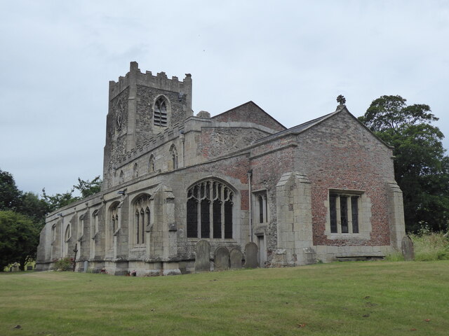
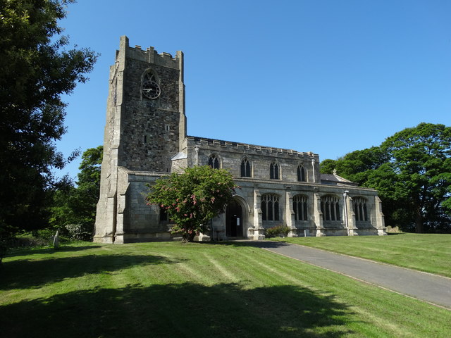
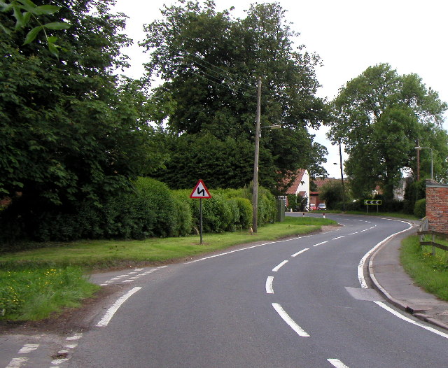
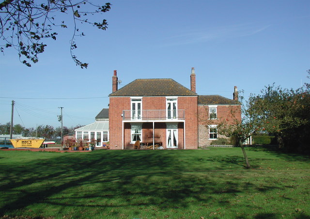
Green Hill Images

Images are sourced within 2km of 53.806828/-0.11987085 or Grid Reference TA2336. Thanks to Geograph Open Source API. All images are credited.

Entrance  to  Westfield  Lakeland  Park  Fitling  Lane
Entrance to Westfield Lakeland Park Fitling Lane
Westfield  Lakeland  Park  reception  to  the  left Our route is to the right, after walking over 10 miles the Spotted Duck cafe is an excellent stop, after coffee and cake the few miles back to Aldbrough is no problem
Westfield Lakeland Park reception to the left
Our route is to the right, after walking over 10 miles the Spotted Duck cafe is an excellent stop, after coffee and cake the few miles back to Aldbrough is no problem
Entrance  to  Green  Meadows  Park.  Fitling  Lane
Entrance to Green Meadows Park. Fitling Lane
Humbleton, St Peter
Humbleton, St Peter
Building, Headlands Farm
St Peter's Church, Humbleton
Pig in the Middle
Pig in the Middle
Stubble field near Fitling Grange
Ploughed field near Humbleton Hall
Farm track near Humbleton Hall
View towards Fitling Grange
View from the churchyard, Humbleton
Ivy Cottage, Humbleton A former school and schoolhouse dating from 1830. <span class="nowrap"><a title="http://www.britishlistedbuildings.co.uk/101083504-ivy-cottage-humbleton#.WXz3RemQysw" rel="nofollow ugc noopener" href="http://www.britishlistedbuildings.co.uk/101083504-ivy-cottage-humbleton#.WXz3RemQysw">Link</a><img style="margin-left:2px;" alt="External link" title="External link - shift click to open in new window" src="https://s1.geograph.org.uk/img/external.png" width="10" height="10"/></span>
Ivy Cottage, Humbleton
A former school and schoolhouse dating from 1830. LinkExternal link
Trees around Humbleton Hall
Fitling Lane The building on the right is The Spotted Duck Tea Room, previously the Fitling Arms; there is also a (presumably) associated 'country park' of holiday chalets around a lake, to the right behind the tea rooms.
Fitling Lane
The building on the right is The Spotted Duck Tea Room, previously the Fitling Arms; there is also a (presumably) associated 'country park' of holiday chalets around a lake, to the right behind the tea rooms.
By Lowfield Lane, Fitling A couple of small ponies and their foal were grazing next to the road; what looks like a pig or poultry unit is in the background.
By Lowfield Lane, Fitling
A couple of small ponies and their foal were grazing next to the road; what looks like a pig or poultry unit is in the background.
Humbleton Road, near Fitling The sign on the left suggests that flytipping has been an issue in the area. Though a few yards up the road is a track called 'Mucky Lane' which you might imagine to be more prone to such problems.
Humbleton Road, near Fitling
The sign on the left suggests that flytipping has been an issue in the area. Though a few yards up the road is a track called 'Mucky Lane' which you might imagine to be more prone to such problems.
Power lines near Humbleton Electricity transmission cables crossing to the south of Fitling Road; houses in Humbleton are visible in the distance.
Power lines near Humbleton
Electricity transmission cables crossing to the south of Fitling Road; houses in Humbleton are visible in the distance.
Show me another place!

Green Hill is located at Grid Ref: TA2336 (Lat: 53.806828, Lng: -0.11987085)

Division: East Riding

Unitary Authority: East Riding of Yorkshire

Police Authority: Humberside

What 3 Words

///typically.guessing.bands. Near Aldbrough, East Yorkshire

Nearby Locations

Green Hill

Related Wikis

Etherdwick

Etherdwick is a hamlet in the East Riding of Yorkshire, England in an area known as Holderness. It is approximately 9 miles (14 km) north-west of Withernsea...

Flinton, East Riding of Yorkshire

Flinton is a village in the civil parish of Humbleton, in the East Riding of Yorkshire, England, in an area known as Holderness. It is situated approximately...

Humbleton

Humbleton is a village and civil parish in the East Riding of Yorkshire, England, in an area known as Holderness. It is situated approximately 9 miles...

Tansterne

Tansterne is a hamlet in the East Riding of Yorkshire, England. It is situated approximately 2.5 miles (4 km) north-east of Sproatley and 1 mile (1.6...

Nearby Amenities

Located within 500m of 53.806828,-0.11987085
Power: pole
Lat/Long: 53.8040434/-0.1258378
The data included in this document is from www.openstreetmap.org. The data is made available under ODbL.

Have you been to Green Hill?

Leave your review of Green Hill below (or comments, questions and feedback).