Slonk Hill
Hill, Mountain in Sussex Adur
England
Slonk Hill
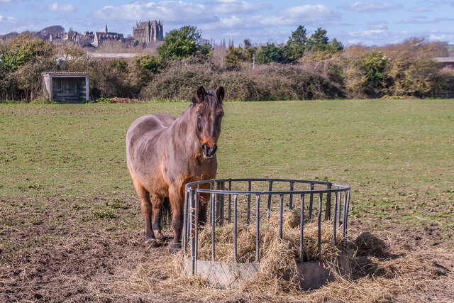
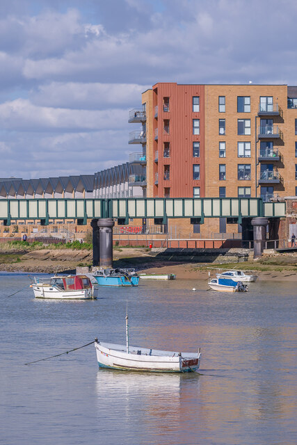
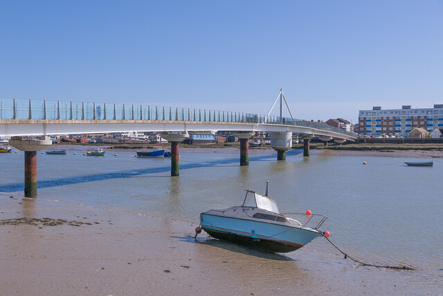
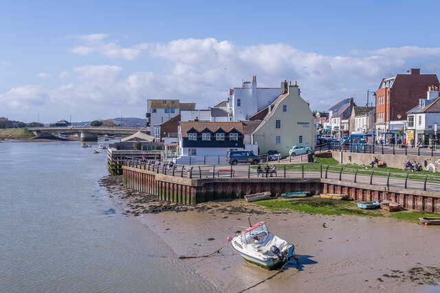
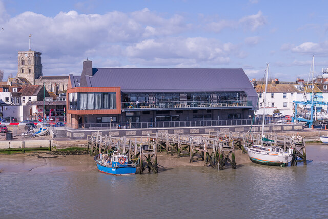
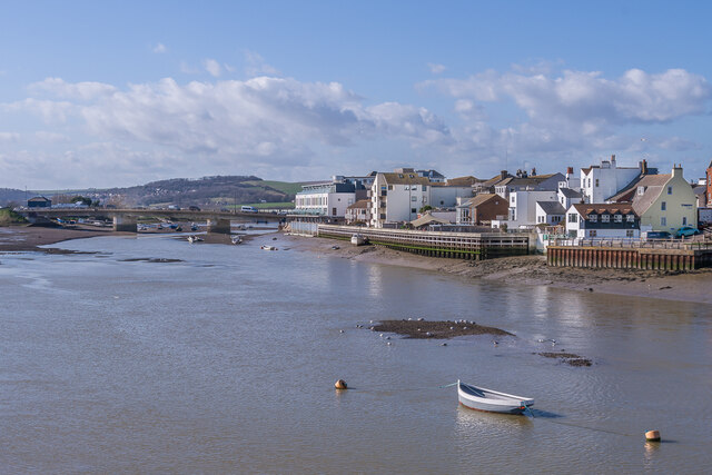
Slonk Hill is a prominent geographical feature located in Sussex, England. Situated near the town of Shoreham-by-Sea, it is a small hill with an elevation of approximately 60 meters (200 feet) above sea level. Despite its modest height, Slonk Hill offers a commanding view of the surrounding countryside and the English Channel.
The hill is a part of the South Downs, a range of chalk hills that stretches across southern England. Slonk Hill is characterized by its gentle slopes and grassy terrain, making it a popular spot for walking, picnicking, and enjoying the natural beauty of the area. The site is also home to a variety of flora and fauna, including wildflowers, insects, and small mammals.
One notable feature of Slonk Hill is the presence of an Iron Age hillfort, known as Slonk Hill Camp. This ancient fortification is believed to have been constructed around 2,500 years ago and demonstrates the area's historical significance. Archaeological excavations have revealed evidence of human occupation, including pottery fragments and tools, providing valuable insights into the region's past.
Slonk Hill is easily accessible for visitors, with designated footpaths and trails leading to its summit. It is a popular destination for hikers and nature enthusiasts, who can enjoy breathtaking panoramic views of the Sussex countryside and the nearby towns of Shoreham-by-Sea and Brighton. Whether exploring its ancient history or simply taking in the scenic landscape, Slonk Hill offers a delightful experience for all who visit.
If you have any feedback on the listing, please let us know in the comments section below.
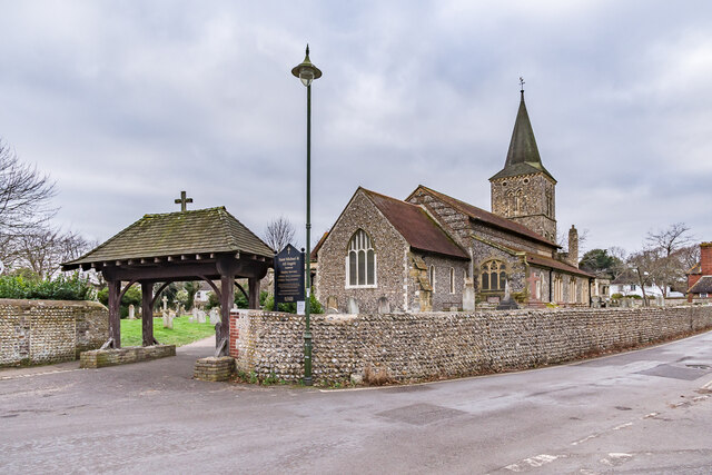
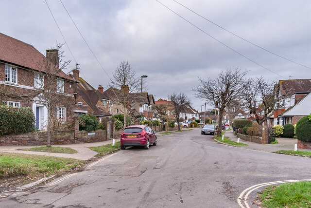
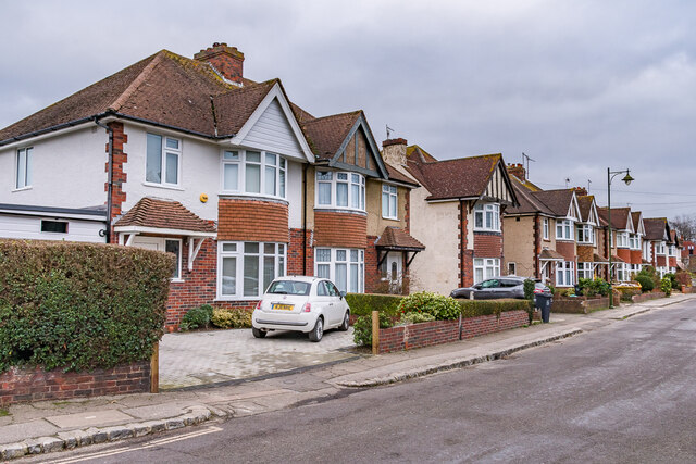
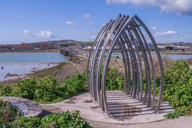
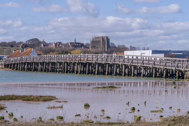
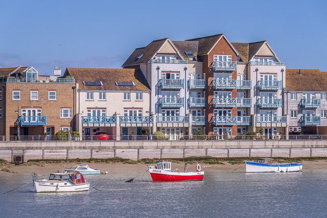
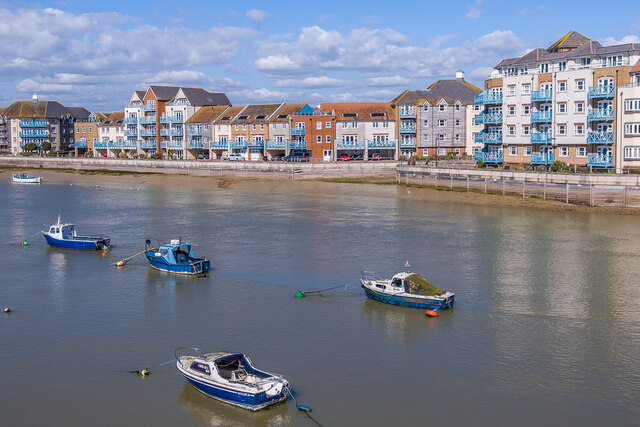
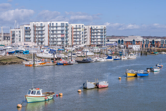
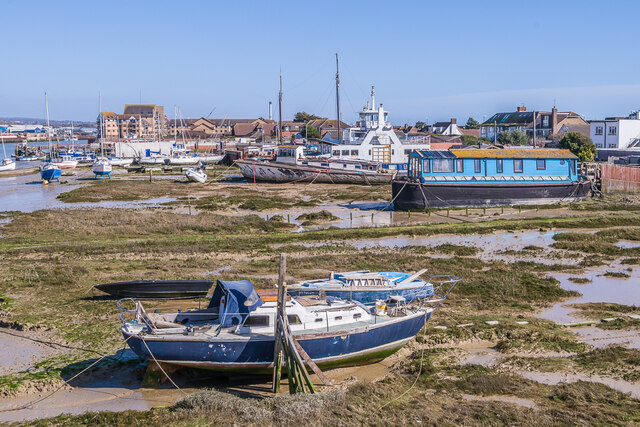
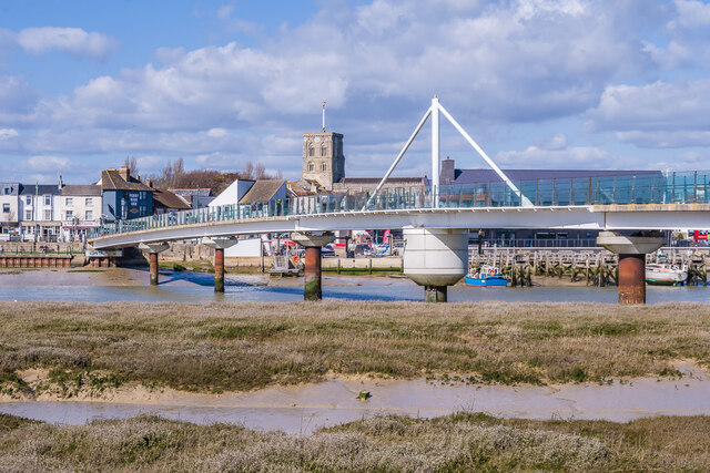
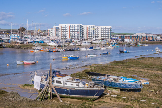
Slonk Hill Images
Images are sourced within 2km of 50.846616/-0.26172411 or Grid Reference TQ2206. Thanks to Geograph Open Source API. All images are credited.

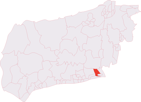
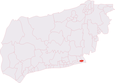
Slonk Hill is located at Grid Ref: TQ2206 (Lat: 50.846616, Lng: -0.26172411)
Administrative County: West Sussex
District: Adur
Police Authority: Sussex
What 3 Words
///announced.parties.final. Near Shoreham-by-Sea, West Sussex
Nearby Locations
Related Wikis
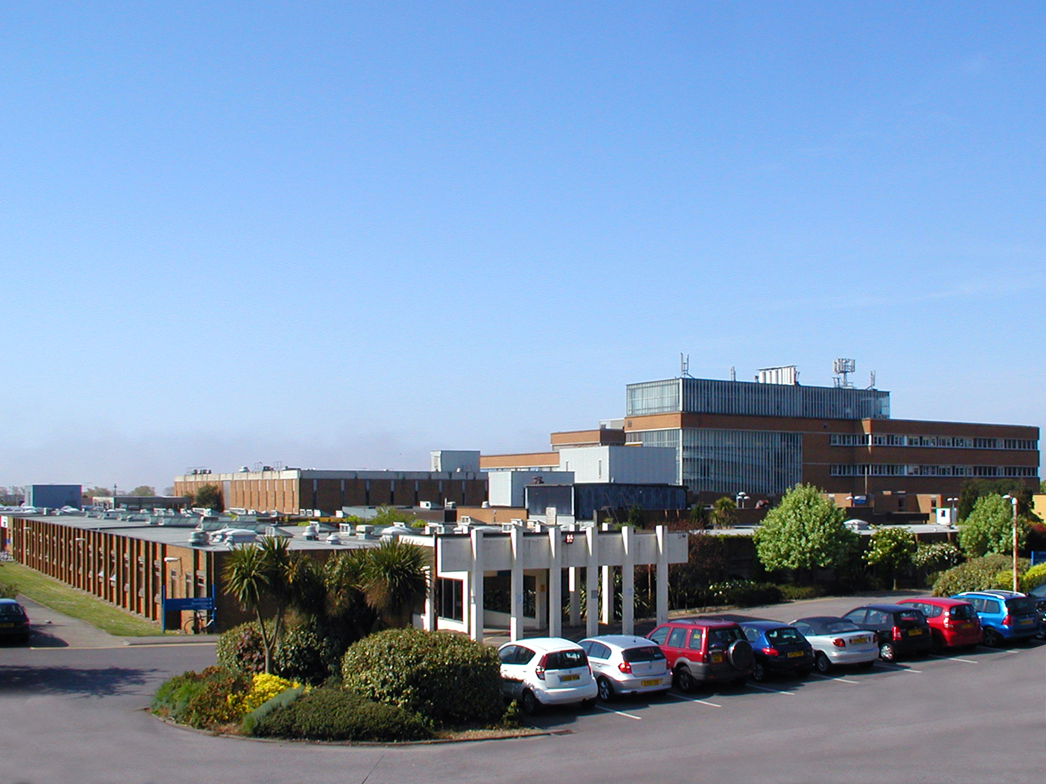
Southlands Hospital
Southlands Hospital is a medical facility based in Shoreham-by-Sea, West Sussex, England, which serves people living in Shoreham itself as well as Worthing...

Seaside Hospital Radio
Seaside Hospital Radio (known until 2004 as Radio Southlands) is a Hospital Radio service broadcasting to both Worthing and Southlands Hospitals in West...
Shoreham (electoral division)
Shoreham is an electoral division of West Sussex in the United Kingdom, and returns one member to sit on West Sussex County Council. == Extent == The division...
Kingston Buci (electoral division)
Kingston Buci was an electoral division of West Sussex in the United Kingdom, and returned one member to sit on West Sussex County Council. It was abolished...
Nearby Amenities
Located within 500m of 50.846616,-0.26172411Have you been to Slonk Hill?
Leave your review of Slonk Hill below (or comments, questions and feedback).