Hammer Hill
Hill, Mountain in Sussex Horsham
England
Hammer Hill

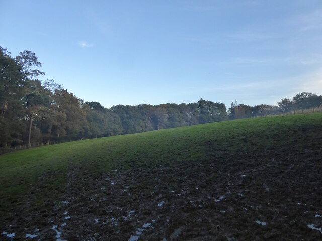
Hammer Hill is a prominent landmark located in Sussex, England. It is classified as a hill rather than a mountain due to its relatively modest elevation, standing at approximately 230 meters (750 feet) above sea level. Despite its moderate height, the hill offers breathtaking panoramic views of the surrounding countryside and is a popular destination for hikers, nature enthusiasts, and those seeking a tranquil escape.
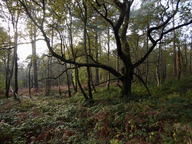
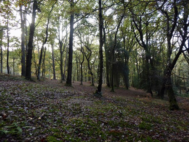
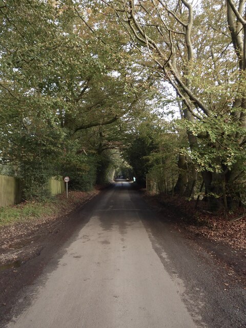
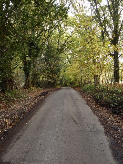
Situated in the South Downs National Park, Hammer Hill is characterized by its gentle slopes and lush greenery, adorned with an array of vibrant wildflowers during the summer months. The hill is predominantly covered in grasslands and offers a variety of walking routes, ranging from leisurely strolls to more challenging hikes for the experienced adventurer.
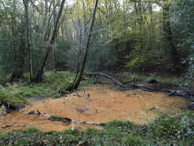
Hammer Hill holds historical significance as it was once the site of iron mining activities during the Roman era. The name "Hammer Hill" is believed to have originated from the iron hammers used in the mining process. Today, remnants of this ancient industry can still be found scattered across the hillside, adding a touch of historical intrigue to the natural beauty of the area.
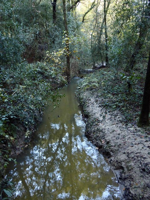
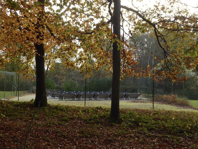
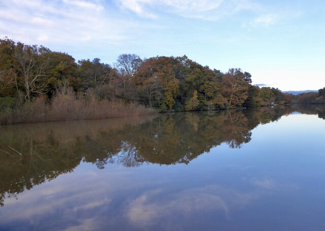
Visitors to Hammer Hill can expect to encounter a diverse range of wildlife, including various species of birds, butterflies, and small mammals. The hill also provides a habitat for rare plant species, contributing to its designation as a Site of Special Scientific Interest (SSSI).
In addition to its natural and historical significance, Hammer Hill offers a peaceful retreat away from the bustling urban areas. Whether one seeks a challenging hike, a leisurely walk, or simply a moment of tranquility surrounded by nature's beauty, Hammer Hill in Sussex is a destination that delivers on all fronts.
If you have any feedback on the listing, please let us know in the comments section below.
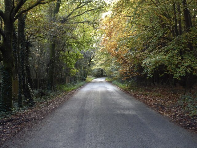
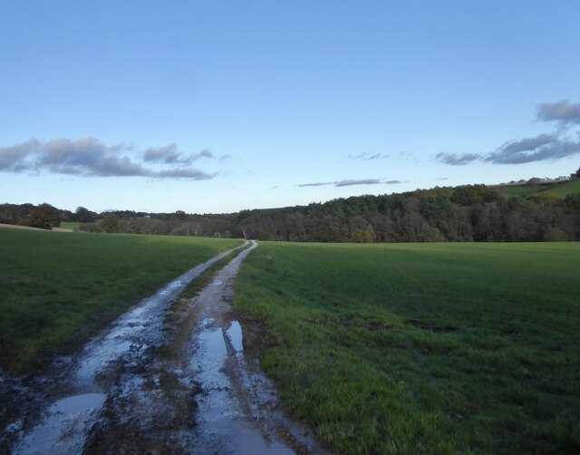
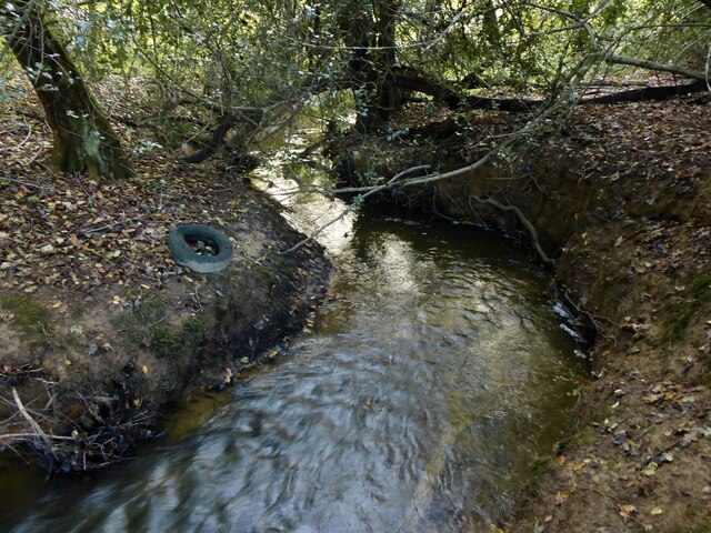
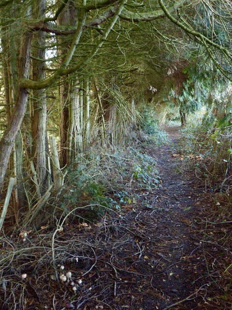
Hammer Hill Images
Images are sourced within 2km of 51.045543/-0.2543313 or Grid Reference TQ2228. Thanks to Geograph Open Source API. All images are credited.

Hammer Hill is located at Grid Ref: TQ2228 (Lat: 51.045543, Lng: -0.2543313)
Administrative County: West Sussex
District: Horsham
Police Authority: Sussex
What 3 Words
///strikers.chopper.dwarf. Near Handcross, West Sussex
Nearby Locations
Related Wikis

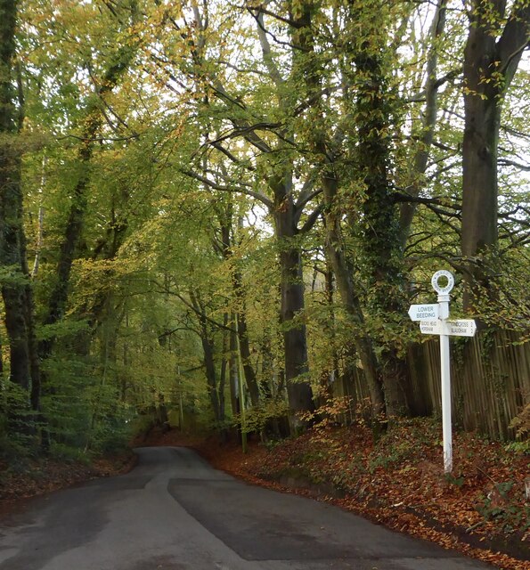
Lower Beeding
Lower Beeding is a village and civil parish in the Horsham District of West Sussex, England. The village lies on the B2110, B2115 and A281 roads 3.5 miles...

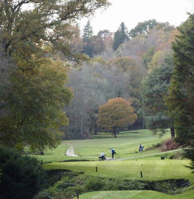
Mannings Heath Golf & Wine Estate
Mannings Heath Golf & Wine Estate is located in Mannings Heath, Horsham in the south of England. The 500 acre parkland site includes two golf courses and...

Newells Preparatory School
Newells Preparatory School came to Lower Beeding, Sussex, in 1946. It has been at Handcross and known as Handcross Park School since 1968. It merged with...

St Leonard's Forest SSSI
St Leonard's Forest SSSI is an 85.4-hectare (211-acre) biological Site of Special Scientific Interest east of Horsham in West Sussex. The SSSI is in two...

Mannings Heath
Mannings Heath is a village in the civil parish of Nuthurst and the Horsham District of West Sussex, England. The village is on the A281 road, 2 miles...

St Leonard's Forest
St Leonard's Forest is at the western end of the Wealden Forest Ridge which runs from Horsham to Tonbridge, and is part of the High Weald Area of Outstanding...

Monk's Gate
Monk's Gate is a hamlet in the civil parish of Nuthurst, in the Horsham District of West Sussex, England. It lies on the A281 road 3 miles (5 km) southeast...

Leonardslee
Leonardslee is an English country house and English landscape garden and woodland garden in Lower Beeding, near Horsham, West Sussex, England. The Grade...
Nearby Amenities
Located within 500m of 51.045543,-0.2543313Have you been to Hammer Hill?
Leave your review of Hammer Hill below (or comments, questions and feedback).