Park Hill

Hill, Mountain in Yorkshire

England

Park Hill

Road to Nuthill
Road to Nuthill Credit: David Brown

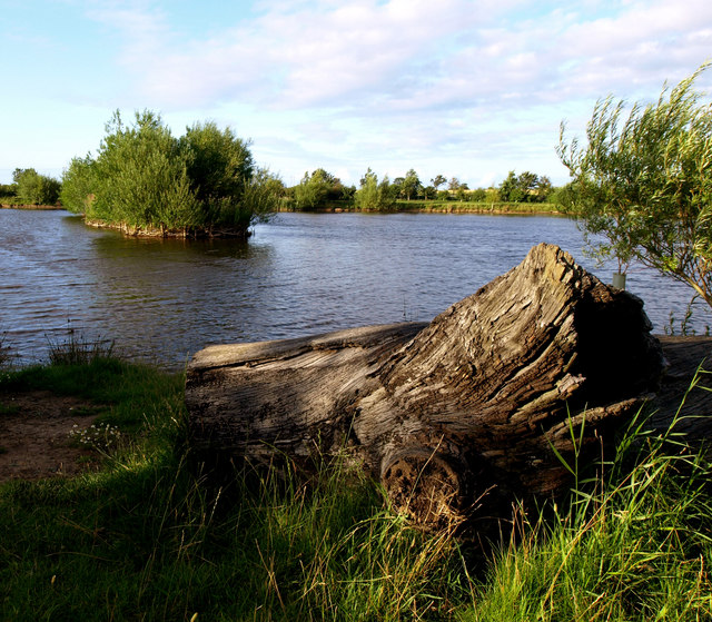
Park Hill is a prominent hill located in the county of Yorkshire, England. Standing at an elevation of approximately 297 meters above sea level, it offers breathtaking panoramic views of the surrounding countryside and the nearby city of Sheffield. Situated within the Peak District National Park, this hill is a popular destination for hikers, nature enthusiasts, and outdoor adventurers.

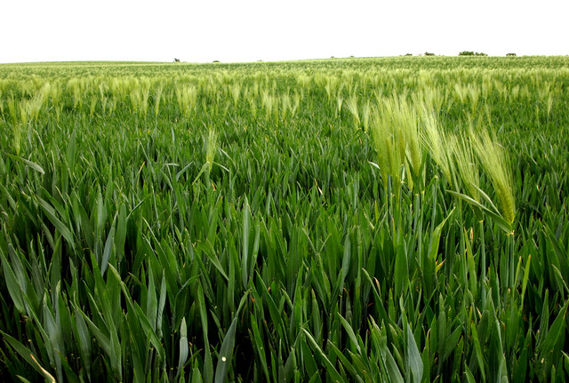
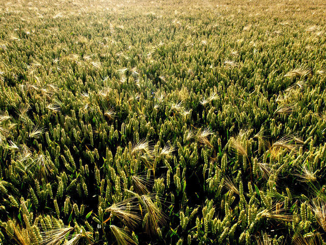
Covered in lush greenery and dotted with vibrant wildflowers, Park Hill boasts a diverse range of flora and fauna. The hill is home to various species of birds, including buzzards and kestrels, making it an ideal spot for birdwatchers. Additionally, visitors can often spot rabbits, foxes, and even deer while exploring the area.

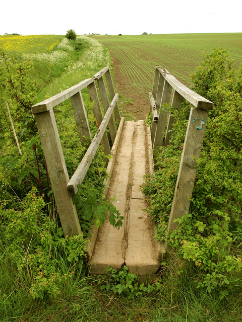
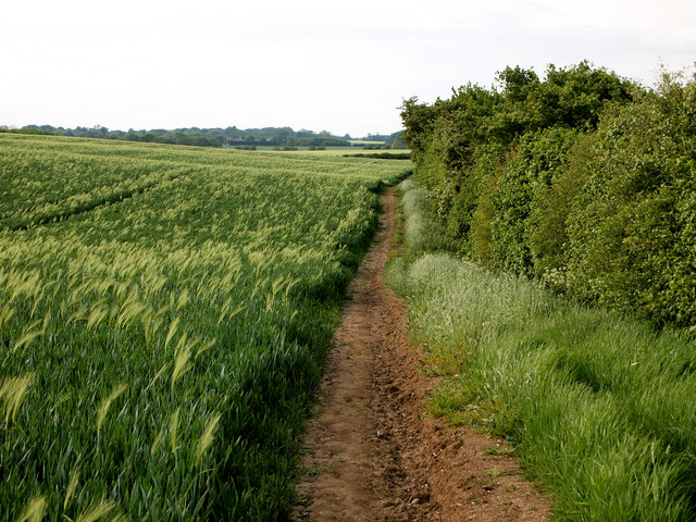
The hill features several well-maintained footpaths, allowing visitors to explore its slopes at their own pace. These trails cater to different levels of difficulty, ensuring that both novice walkers and experienced hikers can enjoy the natural beauty of Park Hill. One popular route is the circular walk around the hill, which takes approximately two hours to complete and offers stunning views throughout.

Not only does Park Hill provide a peaceful retreat for nature lovers, but it also holds historical significance. It is believed that the hill served as a defensive site during the Iron Age, as evidenced by the presence of an ancient hillfort on its summit. This fortification offers a glimpse into the region's rich past and attracts history enthusiasts.

Overall, Park Hill in Yorkshire is a picturesque and serene destination that offers a blend of natural beauty, recreational opportunities, and historical intrigue. Whether one seeks tranquility or adventure, this hill provides an unforgettable experience for all who visit.

If you have any feedback on the listing, please let us know in the comments section below.
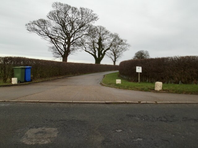
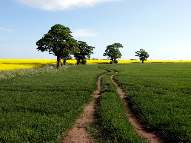
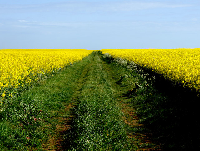
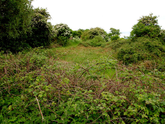
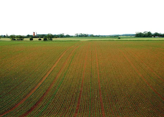
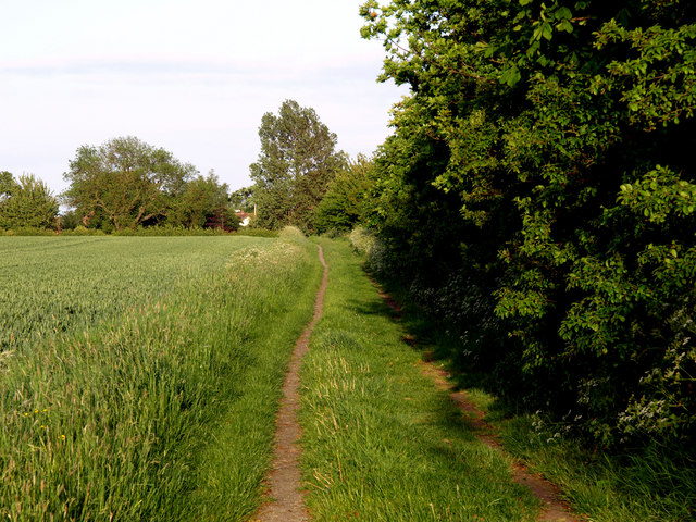
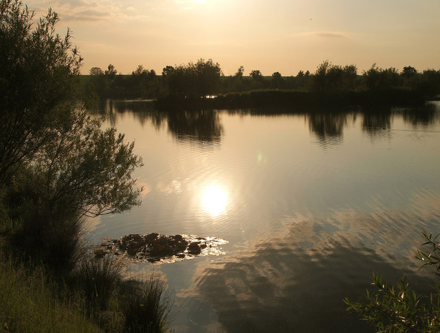
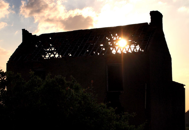
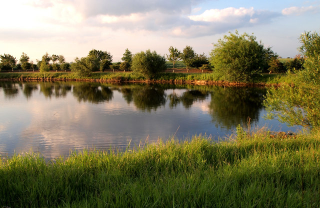
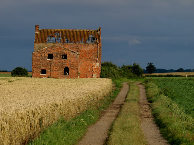
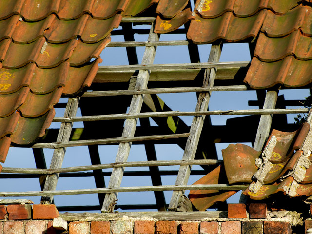
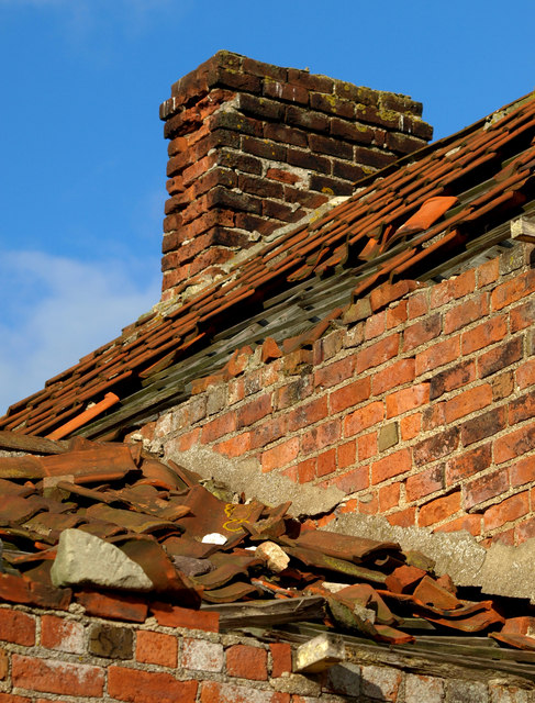
Park Hill Images

Images are sourced within 2km of 53.762959/-0.16036715 or Grid Reference TA2131. Thanks to Geograph Open Source API. All images are credited.

Road to Nuthill
Road to Nuthill
Field near to Nuthill Farm
Bridleway near to Nuthill The simple scene, but with contrasting colours, stood out for me!
Bridleway near to Nuthill
The simple scene, but with contrasting colours, stood out for me!
Dried up Pond Marked up as a pond on the map, there's hardly water in it now.
Dried up Pond
Marked up as a pond on the map, there's hardly water in it now.
Wheat Field The crop is mainly wheat, but there's the odd stalk of last year's barley showing through.
Wheat Field
The crop is mainly wheat, but there's the odd stalk of last year's barley showing through.
Footpath Bridge
Footpath Bridge
Imminent Collapse The old farm building near New York will soon reach a critical stage - the lower window lintels will collapse in the next year or so and probably most of the brickwork above that.... and finally the roof.
Imminent Collapse
The old farm building near New York will soon reach a critical stage - the lower window lintels will collapse in the next year or so and probably most of the brickwork above that.... and finally the roof.
Footpath to Lelley The footpath is quite 'hilly' for this part of the very flat Holderness plain!  The field on the left is a wheatfield, but appears to be contaminated with last year's barley crop.
Footpath to Lelley
The footpath is quite 'hilly' for this part of the very flat Holderness plain! The field on the left is a wheatfield, but appears to be contaminated with last year's barley crop.
New Crop I've no idea what the new crop in the field is as it was too far away to see.  Peas perhaps?  The windmill in the background is near Elstronwick nearly a mile away.
New Crop
I've no idea what the new crop in the field is as it was too far away to see. Peas perhaps? The windmill in the background is near Elstronwick nearly a mile away.
Lelley Balk
Lelley Balk
New Lake Not on any map yet, this is a lovely spot to be on an early June sunny evening Note: I contacted the Ordnance Survey in July 2015 about the map error.  They have noted it and the lake will be on the next revisions of both the 25,000 and 50,000 maps!
New Lake
Not on any map yet, this is a lovely spot to be on an early June sunny evening Note: I contacted the Ordnance Survey in July 2015 about the map error. They have noted it and the lake will be on the next revisions of both the 25,000 and 50,000 maps!
Sunset in a Drafty Loft The old farmhouse is a little damp inside at times, and will no longer be standing soon at its present rate of decline.
Sunset in a Drafty Loft
The old farmhouse is a little damp inside at times, and will no longer be standing soon at its present rate of decline.
New Lake Not on any map yet, this new lake looks lovely in the early summer evening sun.  Note: I contacted the Ordnance Survey in July 2015 about the map error.  They have noted it and the lake will be on the next revisions of both the 25,000 and 50,000 maps!
New Lake
Not on any map yet, this new lake looks lovely in the early summer evening sun. Note: I contacted the Ordnance Survey in July 2015 about the map error. They have noted it and the lake will be on the next revisions of both the 25,000 and 50,000 maps!
Photogenic Farmhouse I've visited this remote derelict farmhouse several times and it always amazes me how different it looks under varying lighting conditions.  The intense blue, red, green and yellow struck me with this one!
Photogenic Farmhouse
I've visited this remote derelict farmhouse several times and it always amazes me how different it looks under varying lighting conditions. The intense blue, red, green and yellow struck me with this one!
Leaking Roof The remaining roof tiles on this derelict farmhouse serve little purpose now!
Leaking Roof
The remaining roof tiles on this derelict farmhouse serve little purpose now!
Crumbling Brickwork
Crumbling Brickwork
Nearly all Wheat This year's wheat crop seems to be 'contaminated' with residual barley from last year's crop.  Taken against the sun, the barley ears are identified easily against the majority wheat crop.
Nearly all Wheat
This year's wheat crop seems to be 'contaminated' with residual barley from last year's crop. Taken against the sun, the barley ears are identified easily against the majority wheat crop.
A New Lake This recently dug lake doesn't appear on the 25,000 map yet.   Note: I contacted the Ordnance Survey in July 2015 about the map error.  They have noted it and the lake will be on the next revisions of both the 25,000 and 50,000 maps!
A New Lake
This recently dug lake doesn't appear on the 25,000 map yet. Note: I contacted the Ordnance Survey in July 2015 about the map error. They have noted it and the lake will be on the next revisions of both the 25,000 and 50,000 maps!
Show me another place!

Park Hill is located at Grid Ref: TA2131 (Lat: 53.762959, Lng: -0.16036715)

Division: East Riding

Unitary Authority: East Riding of Yorkshire

Police Authority: Humberside

What 3 Words

///topics.keepers.claims. Near Humbleton, East Yorkshire

Nearby Locations

North Park Park Hill

Related Wikis

Lelley

Lelley is a small village in the civil parish of Elstronwick, in the East Riding of Yorkshire, England, in an area known as Holderness. It is situated...

Elstronwick

Elstronwick is a village and civil parish in the East Riding of Yorkshire, England, in an area known as Holderness. It is situated approximately 3.5 miles...

Preston, East Riding of Yorkshire

Preston is a village and civil parish in the East Riding of Yorkshire, England, in an area known as Holderness. It is situated approximately 6 miles...

Holderness Rural District

Holderness was a rural district in the East Riding of Yorkshire from 1935 to 1974. It covered the southern part of the East Riding's North Sea coast.It...

Nearby Amenities

Located within 500m of 53.762959,-0.16036715
moat
Historic: archaeological_site
Lat/Long: 53.7625773/-0.153755
Power: pole
Lat/Long: 53.7673427/-0.1602907
Park Hill
Place: locality
Lat/Long: 53.7632246/-0.1613196
North Park
Place: locality
Lat/Long: 53.7639989/-0.1615127
Power: pole
Lat/Long: 53.7634112/-0.152886
The data included in this document is from www.openstreetmap.org. The data is made available under ODbL.

Have you been to Park Hill?

Leave your review of Park Hill below (or comments, questions and feedback).