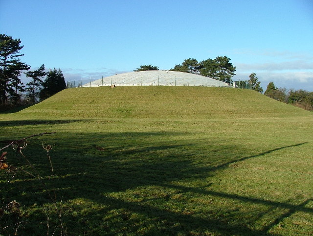
Topler's Hill

Hill, Mountain in Bedfordshire

England

Topler's Hill

Langford Water Tower, Beds The water tower is an imposing landmark on Topler's Hill beside the A1 Ermine Street, south of Biggleswade, Beds; view from the west.
Langford Water Tower, Beds Credit: Rodney Burton

Topler's Hill is a prominent natural landmark located in Bedfordshire, England. It is classified as a hill rather than a mountain, as it does not meet the height criteria to be considered a mountain.

Situated near the village of Barton-le-Clay, Topler's Hill is a part of the Chiltern Hills, a range of chalk hills stretching across several counties in Southern England. The hill rises to an elevation of approximately 185 meters (607 feet) above sea level, offering breathtaking panoramic views of the surrounding countryside.

Covered in lush greenery, Topler's Hill is primarily composed of chalk and flint. It features gently sloping sides, making it accessible for hikers of varying abilities. The hill is a popular destination for outdoor enthusiasts, offering a tranquil escape from the hustle and bustle of urban life.

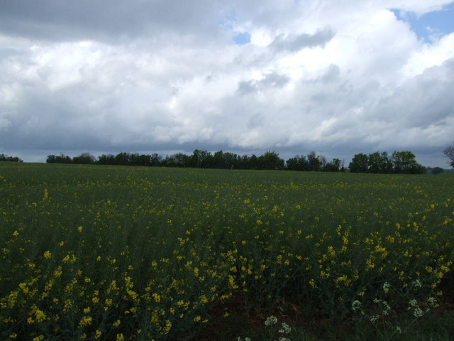
The vegetation on Topler's Hill is diverse, with a mix of grasses, wildflowers, and shrubs dotting its landscape. It is also home to various wildlife species, including birds, rabbits, and foxes. Visitors can often spot these creatures while exploring the hill's trails.

Additionally, Topler's Hill has historical significance. It was used as a defensive site during the Iron Age, and remnants of ancient earthworks can still be seen today. These ancient fortifications provide insight into the hill's past and add to its allure for history enthusiasts.

Overall, Topler's Hill is a picturesque natural landmark in Bedfordshire, offering visitors a chance to immerse themselves in nature, enjoy breathtaking views, and explore its rich historical heritage.

If you have any feedback on the listing, please let us know in the comments section below.

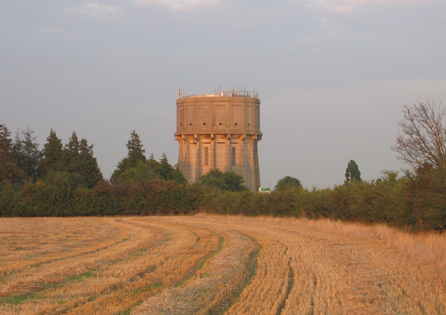
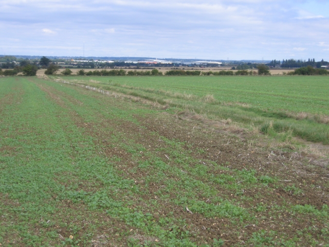
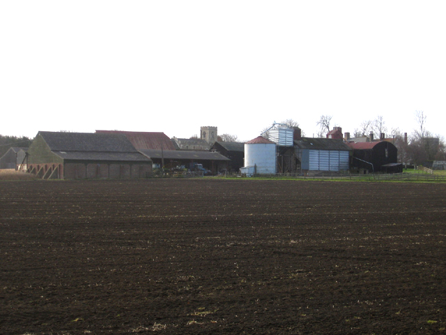
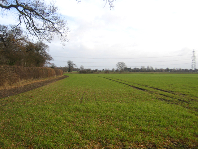
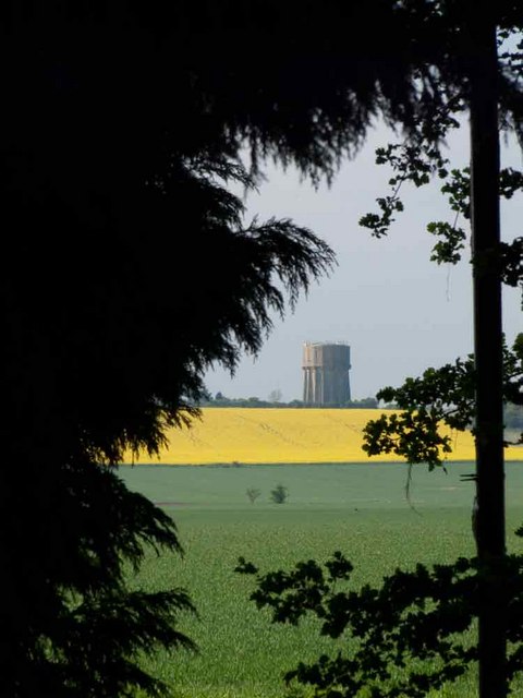
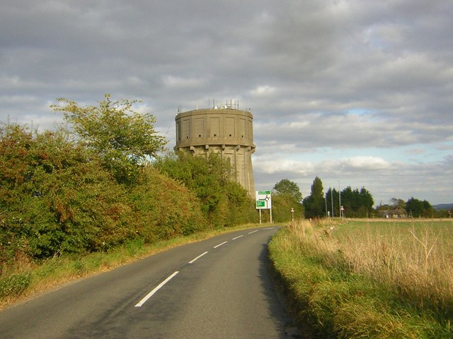
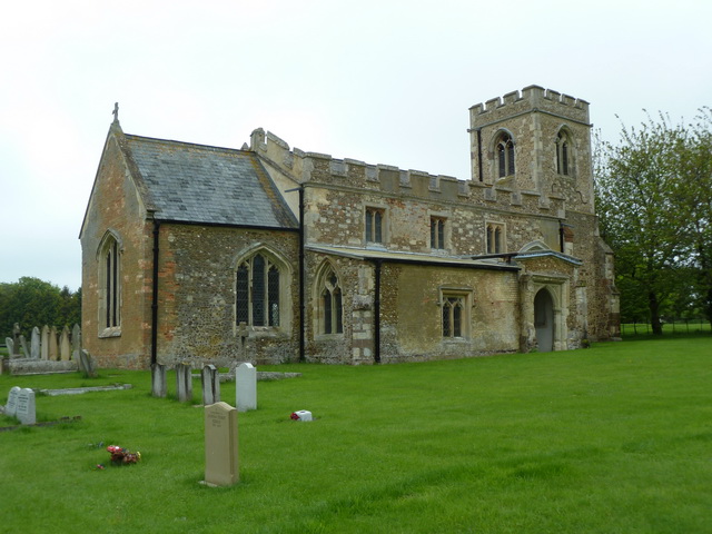
Topler's Hill Images

Images are sourced within 2km of 52.048532/-0.23161524 or Grid Reference TL2140. Thanks to Geograph Open Source API. All images are credited.

Langford Water Tower, Beds The water tower is an imposing landmark on Topler's Hill beside the A1 Ermine Street, south of Biggleswade, Beds; view from the west.
Langford Water Tower, Beds
The water tower is an imposing landmark on Topler's Hill beside the A1 Ermine Street, south of Biggleswade, Beds; view from the west.
View north from Edworth Road, Langford, Beds View from high ground north across the long, gentle slopes of the square towards Biggleswade; a bridleway cuts across a field of newly germinated oil seed rape.
View north from Edworth Road, Langford, Beds
View from high ground north across the long, gentle slopes of the square towards Biggleswade; a bridleway cuts across a field of newly germinated oil seed rape.
Farmland, Edworth, Beds View NW across Chalky Boulder Clay soils.
Farmland, Edworth, Beds
View NW across Chalky Boulder Clay soils.
The Old Rectory, Edworth, Beds – view from the SW.
The Old Rectory, Edworth, Beds
– view from the SW.
Manor Farm and parish church, Edworth, Beds – view from the NE; the church nestling behind the farm is dedicated to St George.
Manor Farm and parish church, Edworth, Beds
– view from the NE; the church nestling behind the farm is dedicated to St George.
Farmland, Edworth, Beds winter wheat growing in the NE part of the square.
Farmland, Edworth, Beds
winter wheat growing in the NE part of the square.
Langford covered reservoir. This reservoir sits next to the water tower.
Langford covered reservoir.
This reservoir sits next to the water tower.
Field between Edworth and the A1
Loading up the Harvest Along the bridleway from Holme to Edworth, a tractor is seen loading bales onto a lorry.
Loading up the Harvest
Along the bridleway from Holme to Edworth, a tractor is seen loading bales onto a lorry.
Straw bale castle and some sort of agricultural machine Thanks to Michael Trolove for identifying this as a "pigtail" cultivator. The curl at the top of the spring tine is likened to a pigs tail!
Straw bale castle and some sort of agricultural machine
Thanks to Michael Trolove for identifying this as a "pigtail" cultivator. The curl at the top of the spring tine is likened to a pigs tail!
Newspring Water Works By the side of the A1
Newspring Water Works
By the side of the A1
Bridleway from Holme to Edworth View south-west across the fields.
Bridleway from Holme to Edworth
View south-west across the fields.
Bridleway from Holme to Edworth View eastwards across the large field to the A1 and cottages at Newspring Farm.
Bridleway from Holme to Edworth
View eastwards across the large field to the A1 and cottages at Newspring Farm.
Farm track north of Edworth Road Flat, open cereal-growing land.
Farm track north of Edworth Road
Flat, open cereal-growing land.
House at Edworth Manor Farm
Topler's Hill Watertower
Langford Water Tower Water tower on Topler's Hill
Langford Water Tower
Water tower on Topler's Hill
Sunset near Hinxworth Taken an hour or so after this photo <a href="https://www.geograph.org.uk/photo/1640378">TF2414 : Sunset over Crowland Falls</a>.
Sunset near Hinxworth
Taken an hour or so after this photo TF2414 : Sunset over Crowland Falls.
Show me another place!

Topler's Hill is located at Grid Ref: TL2140 (Lat: 52.048532, Lng: -0.23161524)

Unitary Authority: Central Bedfordshire

Police Authority: Bedfordshire

What 3 Words

///plans.replying.bought. Near Edworth, Bedfordshire

Nearby Locations

Topler's Hill

Related Wikis

Edworth

Edworth is a hamlet and civil parish in the Central Bedfordshire district of the county of Bedfordshire, England about 12 miles (19 km) south-east of the...

St George's Church, Edworth

St George's Church, Edworth, is a redundant Anglican church in the village of Edworth, Bedfordshire, England. It is recorded in the National Heritage...

Edworth Manor

Edworth Manor was a manor in Bedfordshire, England. The manor was mentioned in the Domesday Book. The manor was owned in the 16th & 17th centuries by the...

Astwick

Astwick is a hamlet and civil parish in the Central Bedfordshire district of the county of Bedfordshire, England. It lies 12+1⁄2 miles (20 km) south-east...

Nearby Amenities

Located within 500m of 52.048532,-0.23161524
Motorway Junction
Edworth Turn
Lat/Long: 52.0521673/-0.229416
Motorway Junction
Langford Turn
Lat/Long: 52.0467735/-0.226225
Topler's Hill
Place: locality
Source: npe
Lat/Long: 52.049311/-0.2336316
Direction: 160
Generator Method: photovoltaic
Generator Output Electricity: yes
Generator Solar Modules: 16
Generator Source: solar
Generator Type: solar_photovoltaic_panel
Location: roof
Power: generator
Lat/Long: 52.0467754/-0.2273957
Crossing
Lat/Long: 52.0475036/-0.2386783
The data included in this document is from www.openstreetmap.org. The data is made available under ODbL.

Have you been to Topler's Hill?

Leave your review of Topler's Hill below (or comments, questions and feedback).