North Park

Downs, Moorland in Yorkshire

England

North Park

Road to Nuthill
Road to Nuthill Credit: David Brown

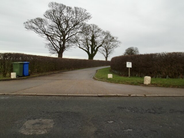
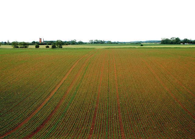
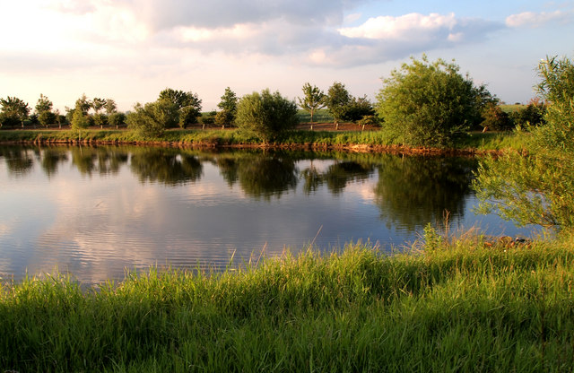
North Park is a picturesque region located in the county of Yorkshire, England. Situated amidst the stunning scenery of the Yorkshire Downs and Moorland, this area is renowned for its natural beauty and tranquil atmosphere.

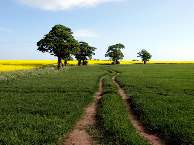
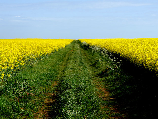
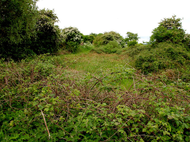
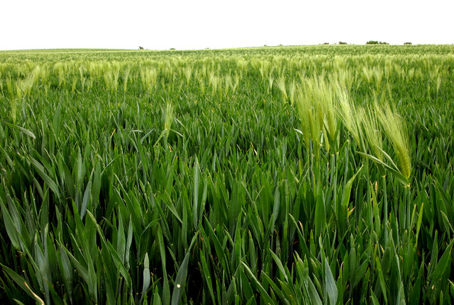
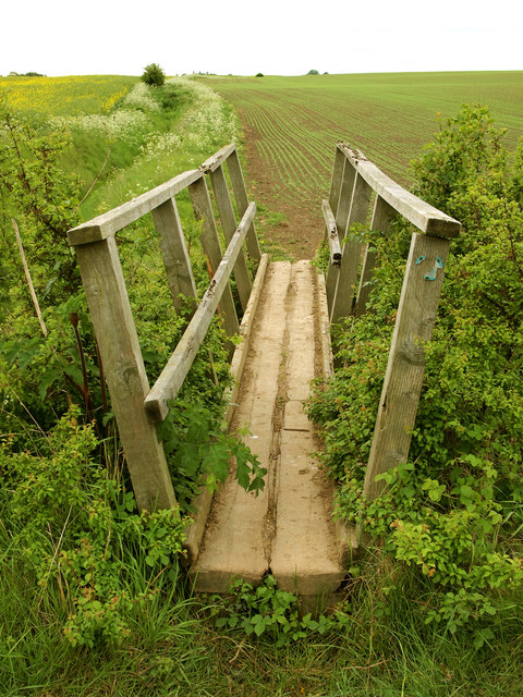
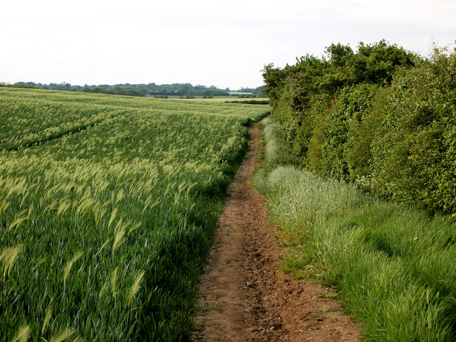
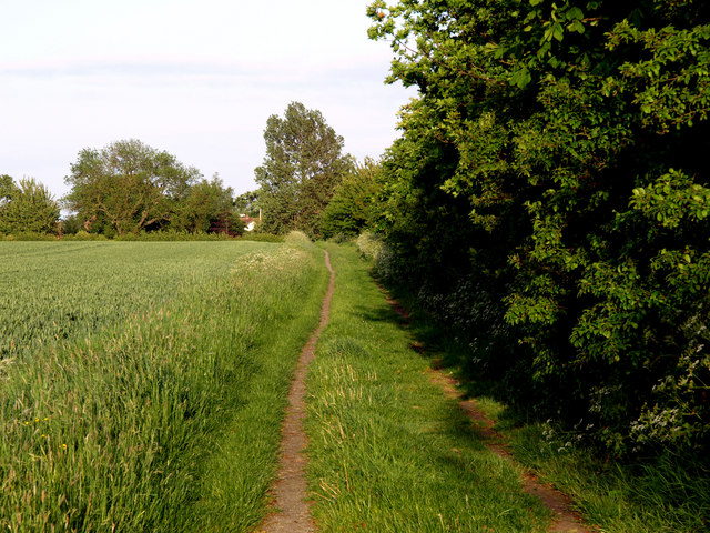
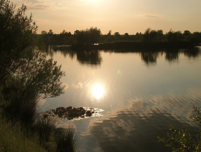
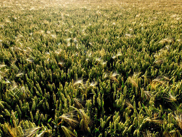
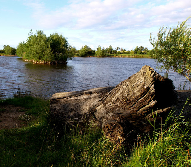
Blessed with rolling hills, expansive meadows, and lush green landscapes, North Park offers a haven for nature lovers and outdoor enthusiasts. The area is home to a diverse array of flora and fauna, including heather-covered moors, ancient woodlands, and pristine rivers. Visitors can enjoy leisurely walks or challenging hikes through the numerous trails that crisscross the region, providing breathtaking views at every turn.

North Park is dotted with charming villages that exude a sense of traditional English charm. The local communities are welcoming and friendly, offering a glimpse into the rich cultural heritage of the area. Visitors can sample delicious regional cuisine in the cozy pubs and quaint tearooms, or browse through the local boutiques and craft shops for unique souvenirs.

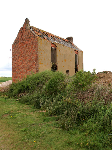
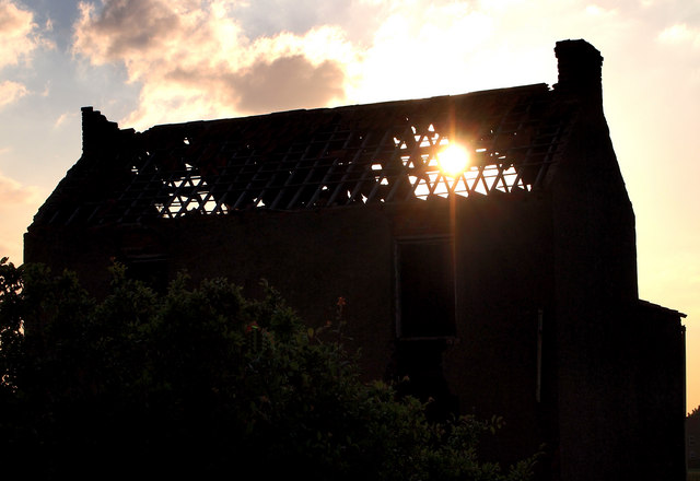
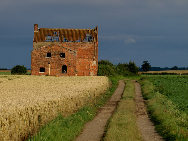
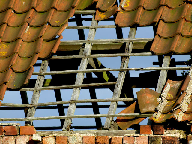
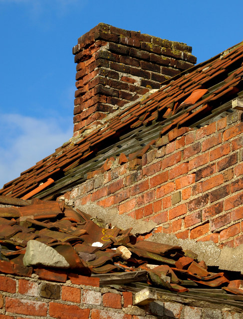
For history enthusiasts, North Park boasts a wealth of historical sites and landmarks. From ancient ruins and medieval castles to grand stately homes and charming churches, the area showcases its rich heritage at every corner.

With its idyllic countryside and peaceful ambiance, North Park is the perfect destination for those seeking a break from the bustling city life. Whether it's exploring the natural wonders, immersing in the local culture, or simply enjoying the tranquility of the surroundings, North Park offers a truly enchanting experience for all who visit.

If you have any feedback on the listing, please let us know in the comments section below.

North Park Images

Images are sourced within 2km of 53.762752/-0.15800946 or Grid Reference TA2131. Thanks to Geograph Open Source API. All images are credited.

Road to Nuthill
Road to Nuthill
Field near to Nuthill Farm
Bridleway near to Nuthill The simple scene, but with contrasting colours, stood out for me!
Bridleway near to Nuthill
The simple scene, but with contrasting colours, stood out for me!
Dried up Pond Marked up as a pond on the map, there's hardly water in it now.
Dried up Pond
Marked up as a pond on the map, there's hardly water in it now.
Wheat Field The crop is mainly wheat, but there's the odd stalk of last year's barley showing through.
Wheat Field
The crop is mainly wheat, but there's the odd stalk of last year's barley showing through.
Footpath Bridge
Footpath Bridge
Imminent Collapse The old farm building near New York will soon reach a critical stage - the lower window lintels will collapse in the next year or so and probably most of the brickwork above that.... and finally the roof.
Imminent Collapse
The old farm building near New York will soon reach a critical stage - the lower window lintels will collapse in the next year or so and probably most of the brickwork above that.... and finally the roof.
Footpath to Lelley The footpath is quite 'hilly' for this part of the very flat Holderness plain!  The field on the left is a wheatfield, but appears to be contaminated with last year's barley crop.
Footpath to Lelley
The footpath is quite 'hilly' for this part of the very flat Holderness plain! The field on the left is a wheatfield, but appears to be contaminated with last year's barley crop.
New Crop I've no idea what the new crop in the field is as it was too far away to see.  Peas perhaps?  The windmill in the background is near Elstronwick nearly a mile away.
New Crop
I've no idea what the new crop in the field is as it was too far away to see. Peas perhaps? The windmill in the background is near Elstronwick nearly a mile away.
Lelley Balk
Lelley Balk
New Lake Not on any map yet, this is a lovely spot to be on an early June sunny evening Note: I contacted the Ordnance Survey in July 2015 about the map error.  They have noted it and the lake will be on the next revisions of both the 25,000 and 50,000 maps!
New Lake
Not on any map yet, this is a lovely spot to be on an early June sunny evening Note: I contacted the Ordnance Survey in July 2015 about the map error. They have noted it and the lake will be on the next revisions of both the 25,000 and 50,000 maps!
Sunset in a Drafty Loft The old farmhouse is a little damp inside at times, and will no longer be standing soon at its present rate of decline.
Sunset in a Drafty Loft
The old farmhouse is a little damp inside at times, and will no longer be standing soon at its present rate of decline.
New Lake Not on any map yet, this new lake looks lovely in the early summer evening sun.  Note: I contacted the Ordnance Survey in July 2015 about the map error.  They have noted it and the lake will be on the next revisions of both the 25,000 and 50,000 maps!
New Lake
Not on any map yet, this new lake looks lovely in the early summer evening sun. Note: I contacted the Ordnance Survey in July 2015 about the map error. They have noted it and the lake will be on the next revisions of both the 25,000 and 50,000 maps!
Photogenic Farmhouse I've visited this remote derelict farmhouse several times and it always amazes me how different it looks under varying lighting conditions.  The intense blue, red, green and yellow struck me with this one!
Photogenic Farmhouse
I've visited this remote derelict farmhouse several times and it always amazes me how different it looks under varying lighting conditions. The intense blue, red, green and yellow struck me with this one!
Leaking Roof The remaining roof tiles on this derelict farmhouse serve little purpose now!
Leaking Roof
The remaining roof tiles on this derelict farmhouse serve little purpose now!
Crumbling Brickwork
Crumbling Brickwork
Nearly all Wheat This year's wheat crop seems to be 'contaminated' with residual barley from last year's crop.  Taken against the sun, the barley ears are identified easily against the majority wheat crop.
Nearly all Wheat
This year's wheat crop seems to be 'contaminated' with residual barley from last year's crop. Taken against the sun, the barley ears are identified easily against the majority wheat crop.
A New Lake This recently dug lake doesn't appear on the 25,000 map yet.   Note: I contacted the Ordnance Survey in July 2015 about the map error.  They have noted it and the lake will be on the next revisions of both the 25,000 and 50,000 maps!
A New Lake
This recently dug lake doesn't appear on the 25,000 map yet. Note: I contacted the Ordnance Survey in July 2015 about the map error. They have noted it and the lake will be on the next revisions of both the 25,000 and 50,000 maps!
Show me another place!

North Park is located at Grid Ref: TA2131 (Lat: 53.762752, Lng: -0.15800946)

Division: East Riding

Unitary Authority: East Riding of Yorkshire

Police Authority: Humberside

What 3 Words

///slipped.quack.unfit. Near Humbleton, East Yorkshire

Nearby Locations

Park Hill North Park

Related Wikis

Lelley

Lelley is a small village in the civil parish of Elstronwick, in the East Riding of Yorkshire, England, in an area known as Holderness. It is situated...

Elstronwick

Elstronwick is a village and civil parish in the East Riding of Yorkshire, England, in an area known as Holderness. It is situated approximately 3.5 miles...

Preston, East Riding of Yorkshire

Preston is a village and civil parish in the East Riding of Yorkshire, England, in an area known as Holderness. It is situated approximately 6 miles...

Holderness Rural District

Holderness was a rural district in the East Riding of Yorkshire from 1935 to 1974. It covered the southern part of the East Riding's North Sea coast.It...

Related Videos

Our life in UK: Exploring Yorkshire - Humber Bridge Country Park

My favorite relaxing spot in our British Home town. Just 15 minutes away from the city center, this is a hidden gem, an oasis of ...

Sulking

Teddy sulked when he wore the dog coat his Grandma bought him for Christmas, in the extreme cold we had on Thursday 18th ...

Adults-Only Spring Valley Camping: Celebrate Abbey's Special Day!

Spring Valley is an Adult only campsite on the outskirts of Hull, East Yorkshire. It is within easy reach of Hull City Centre and the ...

Nearby Amenities

Located within 500m of 53.762752,-0.15800946
moat
Historic: archaeological_site
Lat/Long: 53.7625773/-0.153755
Park Hill
Place: locality
Lat/Long: 53.7632246/-0.1613196
North Park
Place: locality
Lat/Long: 53.7639989/-0.1615127
Power: pole
Lat/Long: 53.7629958/-0.1523495
Power: pole
Lat/Long: 53.7618637/-0.1506758
Power: pole
Lat/Long: 53.7624377/-0.1515019
Power: pole
Lat/Long: 53.7634112/-0.152886
The data included in this document is from www.openstreetmap.org. The data is made available under ODbL.

Have you been to North Park?

Leave your review of North Park below (or comments, questions and feedback).