Erringham Hill

Hill, Mountain in Sussex Adur

England

Erringham Hill

Paddock A horse feeding in a paddock off the A283 near Old Shoreham, with Lancing College in the left background.
Paddock Credit: Ian Capper

The requested URL returned error: 429 Too Many Requests

If you have any feedback on the listing, please let us know in the comments section below.

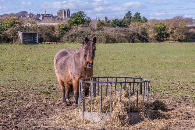
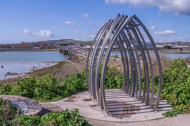
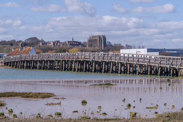
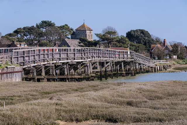
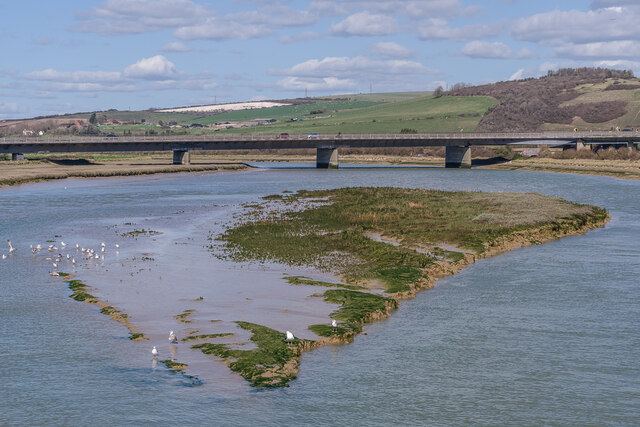
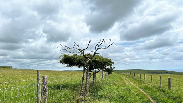
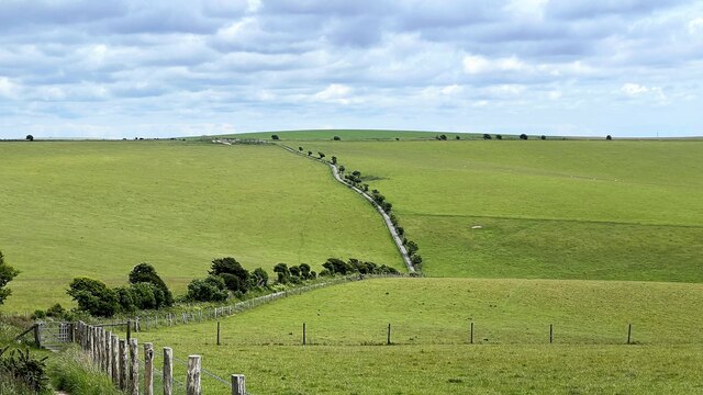
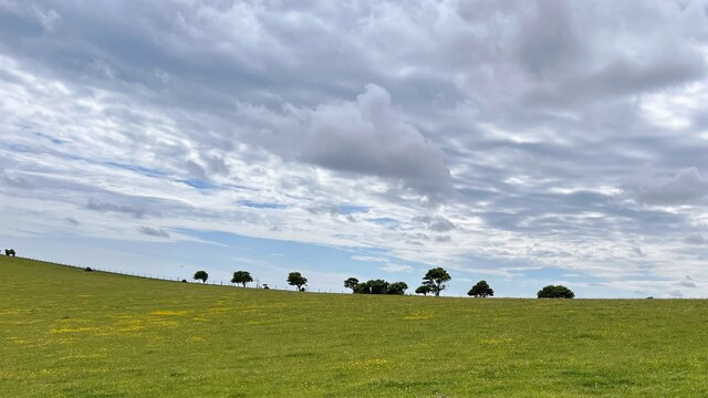
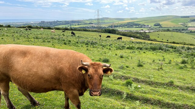
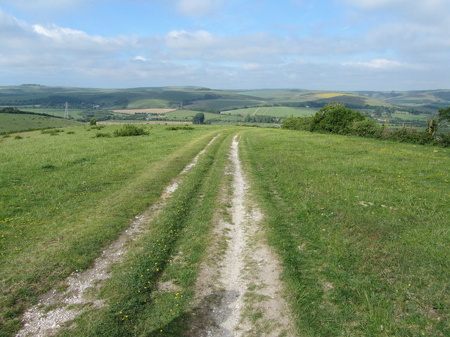
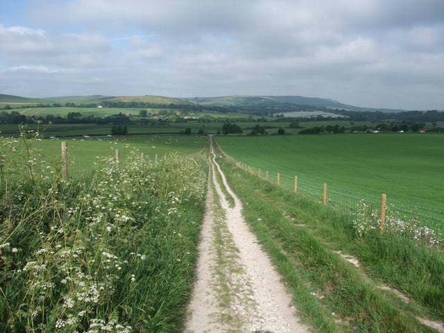
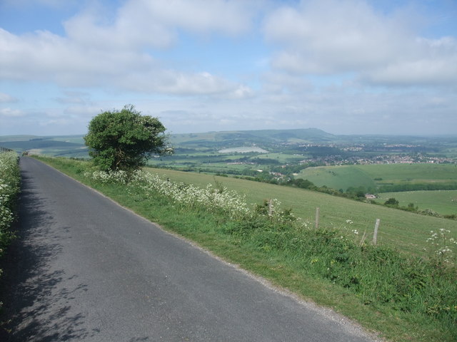
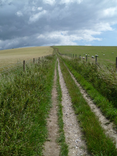
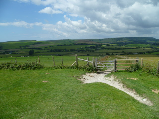
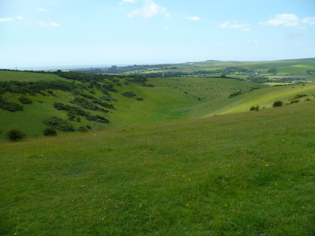
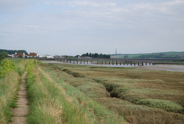
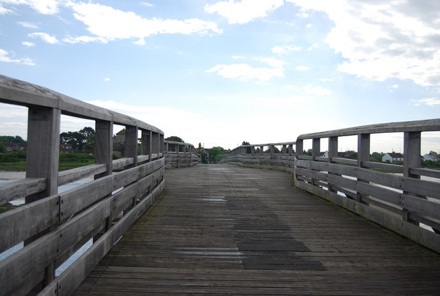
Erringham Hill Images

Images are sourced within 2km of 50.857626/-0.2801128 or Grid Reference TQ2107. Thanks to Geograph Open Source API. All images are credited.

Paddock A horse feeding in a paddock off the A283 near Old Shoreham, with Lancing College in the left background.
Paddock
A horse feeding in a paddock off the A283 near Old Shoreham, with Lancing College in the left background.
Artwork Artwork alongside the Downs Link cycle/foot trail, with Old Shoreham Bridge across the River Adur in the background.
Artwork
Artwork alongside the Downs Link cycle/foot trail, with Old Shoreham Bridge across the River Adur in the background.
Old Shoreham Bridge Bridge over the River Adur near Old Shoreham, now a foot/cycle bridge.  Originally built in 1781, it was rebuilt to the same design during the First World War.  Until 1970 it formed part of the A27, with a toll for its use, until relieved by the opening of the Shoreham bypass, with a new viaduct over the river around 300m north of the old bridge.  It was then closed to road traffic and made a bridleway.  It underwent a full restoration in 2008.  Grade II* listed - see <span class="nowrap"><a title="https://historicengland.org.uk/listing/the-list/list-entry/1027895?section=official-list-entry" rel="nofollow ugc noopener" href="https://historicengland.org.uk/listing/the-list/list-entry/1027895?section=official-list-entry">Link</a><img style="margin-left:2px;" alt="External link" title="External link - shift click to open in new window" src="https://s1.geograph.org.uk/img/external.png" width="10" height="10"/></span>.

In the background is Lancing College.
Old Shoreham Bridge
Bridge over the River Adur near Old Shoreham, now a foot/cycle bridge. Originally built in 1781, it was rebuilt to the same design during the First World War. Until 1970 it formed part of the A27, with a toll for its use, until relieved by the opening of the Shoreham bypass, with a new viaduct over the river around 300m north of the old bridge. It was then closed to road traffic and made a bridleway. It underwent a full restoration in 2008. Grade II* listed - see LinkExternal link. In the background is Lancing College.
Old Shoreham Bridge Bridge over the River Adur near Old Shoreham, now a foot/cycle bridge.  Originally built in 1781, it was rebuilt to the same design during the First World War.  Until 1970 it formed part of the A27, with a toll for its use, until relieved by the opening of the Shoreham bypass, with a new viaduct over the river around 300m north of the old bridge.  It was then closed to road traffic and made a bridleway.  It underwent a full restoration in 2008.  Grade II* listed - see <span class="nowrap"><a title="https://historicengland.org.uk/listing/the-list/list-entry/1027895?section=official-list-entry" rel="nofollow ugc noopener" href="https://historicengland.org.uk/listing/the-list/list-entry/1027895?section=official-list-entry">Link</a><img style="margin-left:2px;" alt="External link" title="External link - shift click to open in new window" src="https://s1.geograph.org.uk/img/external.png" width="10" height="10"/></span>.

In the background is St Nicolas' Church, Old Shoreham.
Old Shoreham Bridge
Bridge over the River Adur near Old Shoreham, now a foot/cycle bridge. Originally built in 1781, it was rebuilt to the same design during the First World War. Until 1970 it formed part of the A27, with a toll for its use, until relieved by the opening of the Shoreham bypass, with a new viaduct over the river around 300m north of the old bridge. It was then closed to road traffic and made a bridleway. It underwent a full restoration in 2008. Grade II* listed - see LinkExternal link. In the background is St Nicolas' Church, Old Shoreham.
River Adur Looking along the River Adur from the Old Shoreham Bridge with the A27 Adur Viaduct, completed in 1970, in the background.
River Adur
Looking along the River Adur from the Old Shoreham Bridge with the A27 Adur Viaduct, completed in 1970, in the background.
Monarch's Way - heading ESE
Fence and bushes - SW of Mossy Bottom Barn This is a cross-grid shot. The camera was in the square to the east.
Fence and bushes - SW of Mossy Bottom Barn
This is a cross-grid shot. The camera was in the square to the east.
Cattle - and view SW over the Adur Valley You can see the sea and Lancing College Chapel on the left of the photo.
Cattle - and view SW over the Adur Valley
You can see the sea and Lancing College Chapel on the left of the photo.
Autumn Lady Tresses Autumn Lady Tresses, Spiranthes spiralis in flower at Anchor Bottom next to the A283 in East Sussex.
Autumn Lady Tresses
Autumn Lady Tresses, Spiranthes spiralis in flower at Anchor Bottom next to the A283 in East Sussex.
South Downs Way above Anchor Bottom The National Trail east of the Adur Valley
South Downs Way above Anchor Bottom
The National Trail east of the Adur Valley
The South Downs Way leading up from the Adur Valley
The South Downs Way on Beeding Hill
South Downs Way climbs Beeding Hill A similar view is at <a title="https://www.geograph.org.uk/photo/2431572" href="https://www.geograph.org.uk/photo/2431572">Link</a>.
South Downs Way climbs Beeding Hill
A similar view is at Link.
Bridleway gate on the South Downs Way on Beeding Hill
Anchor Bottom by the South Downs Way The chimney of the disused cement works is in the picture and Lancing College is set against the sea.
Anchor Bottom by the South Downs Way
The chimney of the disused cement works is in the picture and Lancing College is set against the sea.
Old Shoreham Bridge The Old Shoreham Tollbridge was built across the River Adur in 1782 and until 1970 carried the A27 across the river. It closed to traffic in 1970, but is open to foot traffic. It is a Grade II* listed structure. <span class="nowrap"><a title="http://www.adur.gov.uk/docs/misc/359495000000.pdf" rel="nofollow ugc noopener" href="http://www.adur.gov.uk/docs/misc/359495000000.pdf">Link</a><img style="margin-left:2px;" alt="External link" title="External link - shift click to open in new window" src="https://s1.geograph.org.uk/img/external.png" width="10" height="10"/></span> 
Wikipedia: <span class="nowrap"><a title="http://en.wikipedia.org/wiki/Shoreham_Tollbridge" rel="nofollow ugc noopener" href="http://en.wikipedia.org/wiki/Shoreham_Tollbridge">Link</a><img style="margin-left:2px;" alt="External link" title="External link - shift click to open in new window" src="https://s1.geograph.org.uk/img/external.png" width="10" height="10"/></span>
Old Shoreham Bridge
The Old Shoreham Tollbridge was built across the River Adur in 1782 and until 1970 carried the A27 across the river. It closed to traffic in 1970, but is open to foot traffic. It is a Grade II* listed structure. LinkExternal link Wikipedia: LinkExternal link
Show me another place!

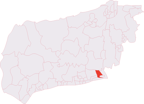
Erringham Hill is located at Grid Ref: TQ2107 (Lat: 50.857626, Lng: -0.2801128)

Administrative County: West Sussex

District: Adur

Police Authority: Sussex

What 3 Words

///flagging.sandbags.available. Near Shoreham-by-Sea, West Sussex

Nearby Locations

Erringham Hill

Related Wikis

Mill Hill, Shoreham

Mill Hill is a 13.5-hectare (33-acre) Local Nature Reserve on the northern outskirts of Shoreham-by-Sea in West Sussex. It is owned by Adur District Council...

Erringham chapel

Erringham chapel is a former place of worship in the deserted medieval village of Old Erringham, north of Shoreham-by-Sea in the district of Adur, one...

Shoreham (electoral division)

Shoreham is an electoral division of West Sussex in the United Kingdom, and returns one member to sit on West Sussex County Council. == Extent == The division...

Thundersbarrow Hill

Thundersbarrow Hill is an archaeological site in West Sussex, England. It is on a chalk ridge, aligned north-west to south-east, on the South Downs north...

Nearby Amenities

Located within 500m of 50.857626,-0.2801128
Mill Hill
Leisure: nature_reserve
Wikidata: Q65964305
Lat/Long: 50.8545093/-0.2808193
Fixme: Shold this connect to the steps?
Lat/Long: 50.8536695/-0.2829222
Barrier: stile
Foot: yes
Lat/Long: 50.8574696/-0.2849442
Bench
Backrest: yes
Material: wood
Seats: 3
Lat/Long: 50.8537209/-0.2801218
Barrier: cattle_grid
Lat/Long: 50.85532/-0.2793157
Barrier: kissing_gate
Source: gps
Lat/Long: 50.8535522/-0.2830577
Board Type: nature
Description: MillHill local nature reserve
Information: board
Tourism: information
Lat/Long: 50.8540503/-0.2801014
Waste Basket
Waste: trash
Lat/Long: 50.8540089/-0.2802243
Barrier: bollard
Lat/Long: 50.8538503/-0.2798077
Barrier: bollard
Lat/Long: 50.8538349/-0.2797597
Waste Basket
Waste: dog_excrement
Lat/Long: 50.853796/-0.2800647
Waste Basket
Waste: dog_excrement
Lat/Long: 50.8540105/-0.2801907
Barrier: bollard
Lat/Long: 50.8538371/-0.2797123
Bench
Backrest: yes
Material: wood
Seats: 3
Lat/Long: 50.8540594/-0.2805572
Leisure: picnic_table
Material: wood
Lat/Long: 50.8541553/-0.2802213
Waste Basket
Waste: trash
Lat/Long: 50.8537988/-0.2801037
Barrier: bollard
Lat/Long: 50.8538777/-0.2798396
The data included in this document is from www.openstreetmap.org. The data is made available under ODbL.

Have you been to Erringham Hill?

Leave your review of Erringham Hill below (or comments, questions and feedback).