Cockerill Hill
Hill, Mountain in Yorkshire
England
Cockerill Hill

The requested URL returned error: 429 Too Many Requests
If you have any feedback on the listing, please let us know in the comments section below.
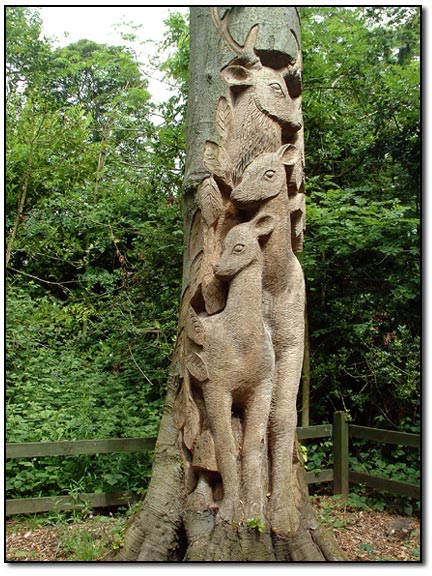
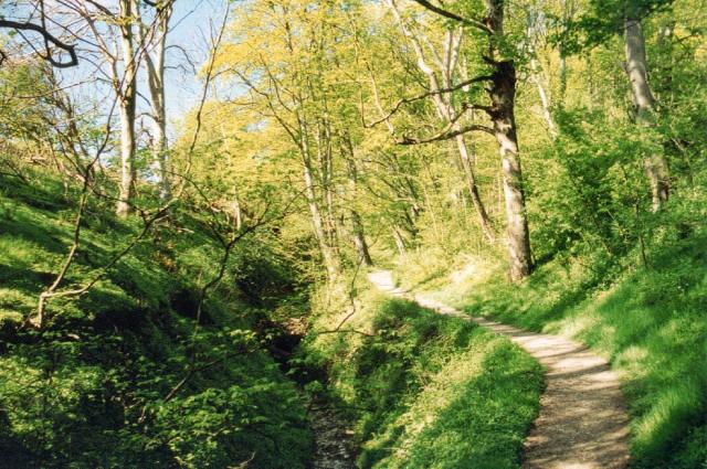
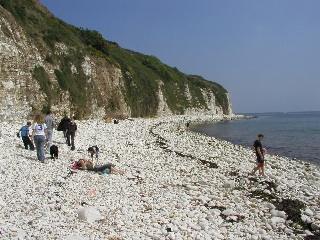
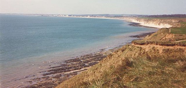
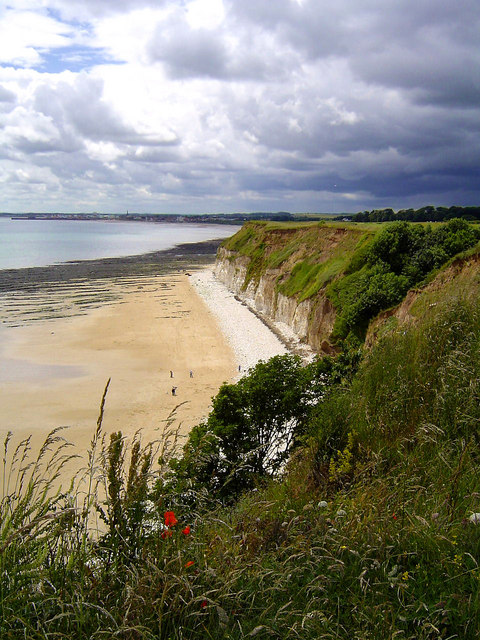
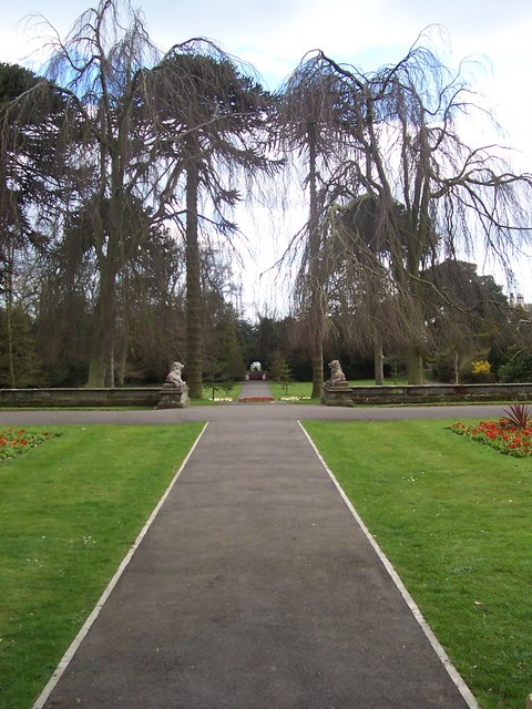
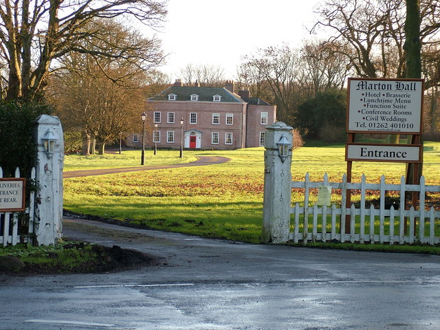
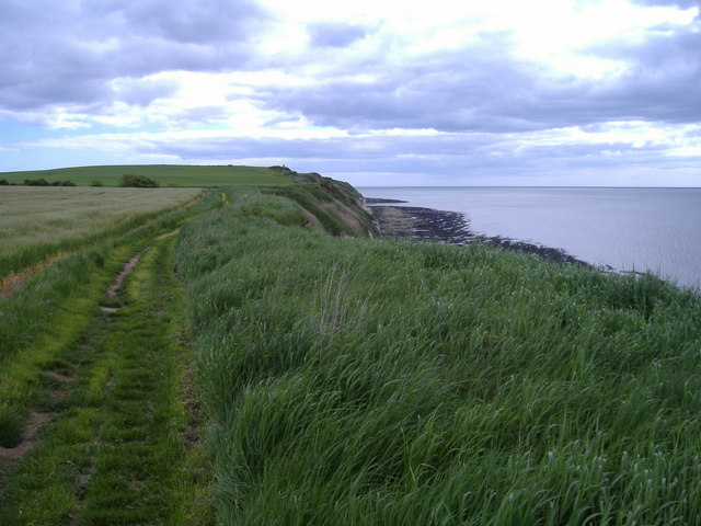
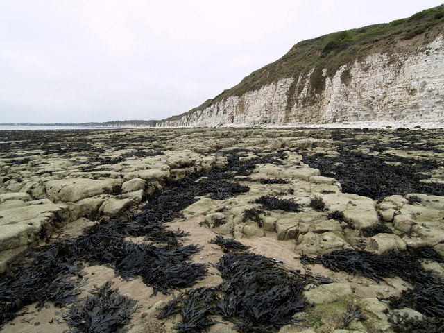
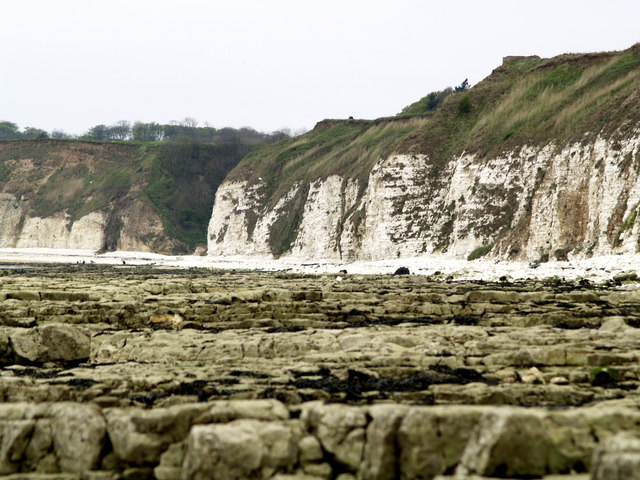
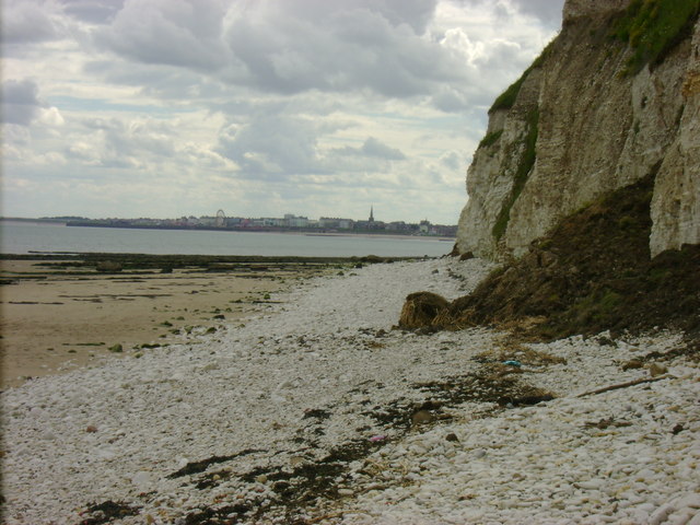
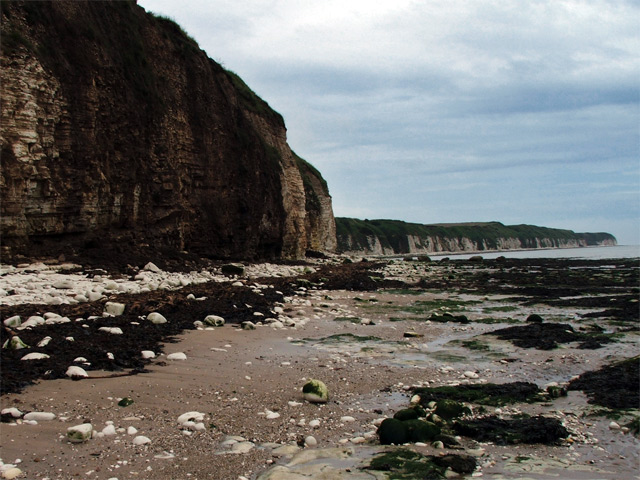
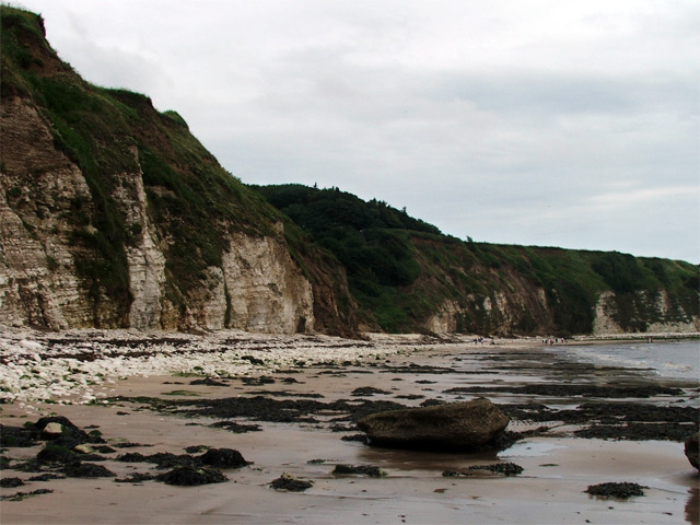
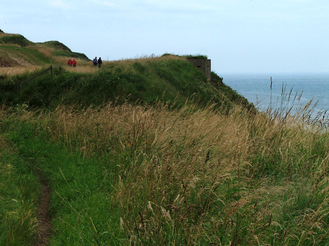
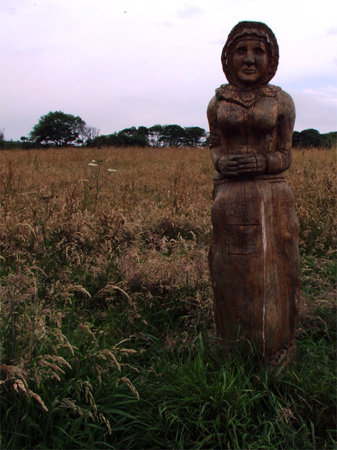
Cockerill Hill Images
Images are sourced within 2km of 54.117854/-0.1470561 or Grid Reference TA2170. Thanks to Geograph Open Source API. All images are credited.


Cockerill Hill is located at Grid Ref: TA2170 (Lat: 54.117854, Lng: -0.1470561)
Division: East Riding
Unitary Authority: East Riding of Yorkshire
Police Authority: Humberside
What 3 Words
///odds.seriously.credible. Near Flamborough, East Yorkshire
Nearby Locations
Related Wikis

Flamborough
Flamborough is a village and civil parish in the East Riding of Yorkshire, England. It is situated approximately 4 miles (6 km) north-east of Bridlington...

Flamborough railway station
Flamborough railway station was located in the village of Marton, and was originally named after that location. However, there were several other railway...

Sewerby Hall
Sewerby Hall (also known as Sewerby House) is a Grade I listed Georgian country house set in 50 acres (20 ha) of landscaped gardens in the village of Sewerby...

Sewerby
Sewerby is a village in the East Riding of Yorkshire, England approximately 1 mile (1.6 km) north-east of Bridlington on the North Sea coast. The village...
Have you been to Cockerill Hill?
Leave your review of Cockerill Hill below (or comments, questions and feedback).