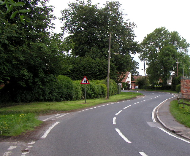
Coom Hill

Hill, Mountain in Yorkshire

England

Coom Hill

Field, West Carlton
Field, West Carlton Credit: Steven Brown

The requested URL returned error: 429 Too Many Requests

If you have any feedback on the listing, please let us know in the comments section below.

Coom Hill Images

Images are sourced within 2km of 53.819002/-0.16174135 or Grid Reference TA2137. Thanks to Geograph Open Source API. All images are credited.

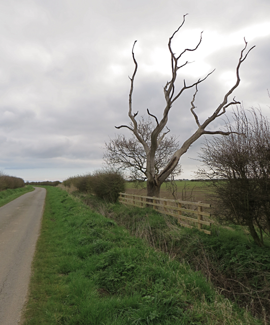
Field, West Carlton
Field, West Carlton
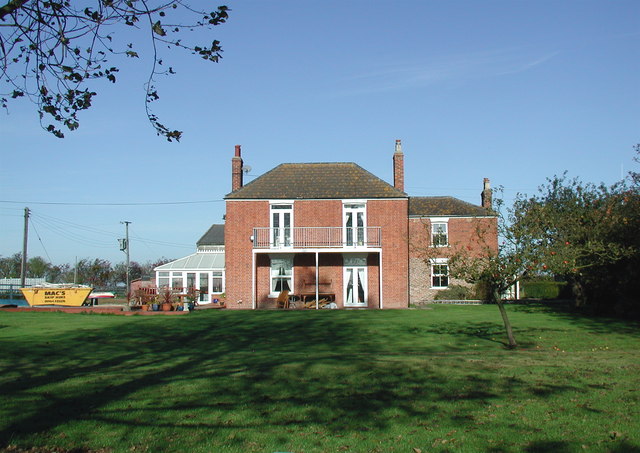
West Carlton Country Guest House, Aldbrough Situated in Carlton Road, this country guest house is an 18th century Georgian Manor House in 2 acres of beautifully landscaped gardens. It has been providing accommodation since 1998. The postcode of this country guest house is HU11 4RB.
West Carlton Country Guest House, Aldbrough
Situated in Carlton Road, this country guest house is an 18th century Georgian Manor House in 2 acres of beautifully landscaped gardens. It has been providing accommodation since 1998. The postcode of this country guest house is HU11 4RB.
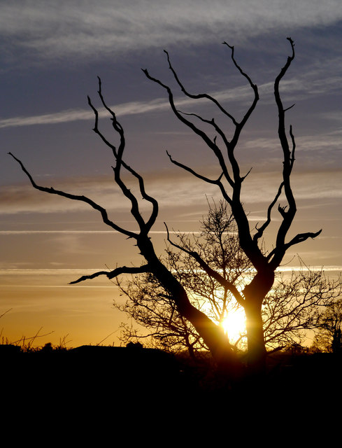
Roadside Lightning Tree
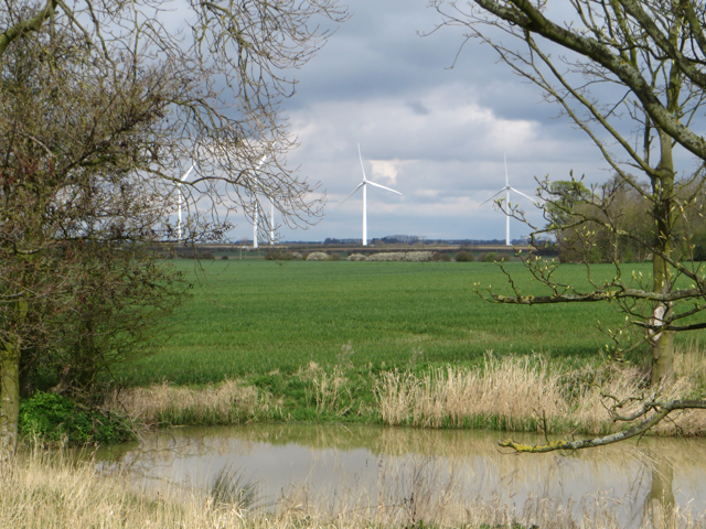
Roadside Pond Situated at the side of the Tansterne to West Carlton road, I suspect that this may have been an animal watering hole at some time, but is now surrounded by arable land.
Roadside Pond
Situated at the side of the Tansterne to West Carlton road, I suspect that this may have been an animal watering hole at some time, but is now surrounded by arable land.
Smithy Briggs Farm, near Burton Constable Farmhouse and part of the outlying buildings, seen from Crook Lane
Smithy Briggs Farm, near Burton Constable
Farmhouse and part of the outlying buildings, seen from Crook Lane
Crook Lane, near West Newton Quiet country road leading east from close to Smithy Briggs Farm
Crook Lane, near West Newton
Quiet country road leading east from close to Smithy Briggs Farm
Old Farm, West Newton Farmhouse seen from Crook Lane
Old Farm, West Newton
Farmhouse seen from Crook Lane
Farmhouse with window cleaner, West Newton West Newton Grange farmhouse - if you look closely, you'll see the window cleaner descending his ladder on the right hand side of the house. I saw the same man working at several other properties (such as <a href="https://www.geograph.org.uk/photo/4908799">TA2239 : House at East Carlton</a>) in the area and was overtaken by his van at least twice, so was impressed by his work rate.
Farmhouse with window cleaner, West Newton
West Newton Grange farmhouse - if you look closely, you'll see the window cleaner descending his ladder on the right hand side of the house. I saw the same man working at several other properties (such as TA2239 : House at East Carlton) in the area and was overtaken by his van at least twice, so was impressed by his work rate.
Lane to the turbines, near Fosham The lane does not in fact lead directly to the wind farm, but towards Low Fosham
Lane to the turbines, near Fosham
The lane does not in fact lead directly to the wind farm, but towards Low Fosham
Drain by the lane, near Fosham Land drain running parallel to Flinton Road
Drain by the lane, near Fosham
Land drain running parallel to Flinton Road
Fields, footpath and drain, near Tansterne Aldbrough Bridleway, and Footpath No 10 run between the field edge and the land drain
Fields, footpath and drain, near Tansterne
Aldbrough Bridleway, and Footpath No 10 run between the field edge and the land drain
Pheasant by the field, near Tansterne Pheasant out for a walk between the footpath and the rapeseed crop. He seemed unusually unconcerned by my presence but picked up his pace once I drew nearer.
Pheasant by the field, near Tansterne
Pheasant out for a walk between the footpath and the rapeseed crop. He seemed unusually unconcerned by my presence but picked up his pace once I drew nearer.
Pond at West Carlton Small body of water on the western side of Flinton Road
Pond at West Carlton
Small body of water on the western side of Flinton Road
Approaching West Carlton The building which – apart from the farm across the road to it – essentially is West Carlton, is The West Carlton Country Guest House <span class="nowrap"><a title="http://www.west-carlton.co.uk/" rel="nofollow ugc noopener" href="http://www.west-carlton.co.uk/">Link</a><img style="margin-left:2px;" alt="External link" title="External link - shift click to open in new window" src="https://s1.geograph.org.uk/img/external.png" width="10" height="10"/></span>
Approaching West Carlton
The building which – apart from the farm across the road to it – essentially is West Carlton, is The West Carlton Country Guest House LinkExternal link
Between East and West Carlton Looking along the south side of Carlton Road, with West Carlton Farm in the distance
Between East and West Carlton
Looking along the south side of Carlton Road, with West Carlton Farm in the distance
Tansterne Grange Entrance to farm and fishing lakes on Tansterne Lane
Tansterne Grange
Entrance to farm and fishing lakes on Tansterne Lane
Tansterne Biomass Power The plant looks still to be in its commissioning stage - it's a biomass plant, but there doesn't seem to be a lot to burn at the moment on the site!
Tansterne Biomass Power
The plant looks still to be in its commissioning stage - it's a biomass plant, but there doesn't seem to be a lot to burn at the moment on the site!
Wheatfield off Flinton Road
Show me another place!

Coom Hill is located at Grid Ref: TA2137 (Lat: 53.819002, Lng: -0.16174135)

Division: East Riding

Unitary Authority: East Riding of Yorkshire

Police Authority: Humberside

What 3 Words

///adjuster.indeed.forces. Near Burton Constable, East Yorkshire

Nearby Locations

Coom Hill

Related Wikis

Tansterne

Tansterne is a hamlet in the East Riding of Yorkshire, England. It is situated approximately 2.5 miles (4 km) north-east of Sproatley and 1 mile (1.6...

West Newton, East Riding of Yorkshire

West Newton is a hamlet in the East Riding of Yorkshire, England. It is situated approximately 9 miles (14 km) north-east of Hull city centre and 6 miles...

Flinton, East Riding of Yorkshire

Flinton is a village in the civil parish of Humbleton, in the East Riding of Yorkshire, England, in an area known as Holderness. It is situated approximately...

Etherdwick

Etherdwick is a hamlet in the East Riding of Yorkshire, England in an area known as Holderness. It is approximately 9 miles (14 km) north-west of Withernsea...

Nearby Amenities

Located within 500m of 53.819002,-0.16174135
The data included in this document is from www.openstreetmap.org. The data is made available under ODbL.

Have you been to Coom Hill?

Leave your review of Coom Hill below (or comments, questions and feedback).