Southlands Hill
Hill, Mountain in Sussex Horsham
England
Southlands Hill

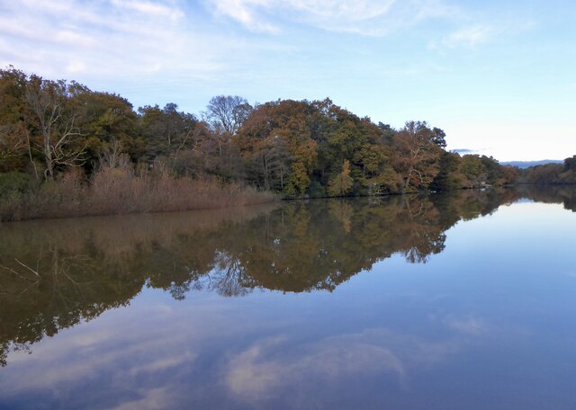
Southlands Hill is a prominent geographical feature located in the county of Sussex, England. Situated in the South Downs National Park, it is part of the larger South Downs range and is known for its stunning natural beauty and panoramic views.
Rising to an elevation of approximately 150 meters (492 feet), Southlands Hill is classified as a hill rather than a mountain due to its relatively modest height. However, what it lacks in height, it more than compensates for in terms of its picturesque surroundings and diverse wildlife.
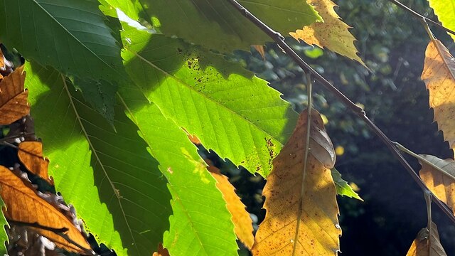
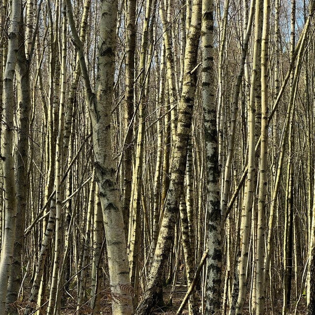
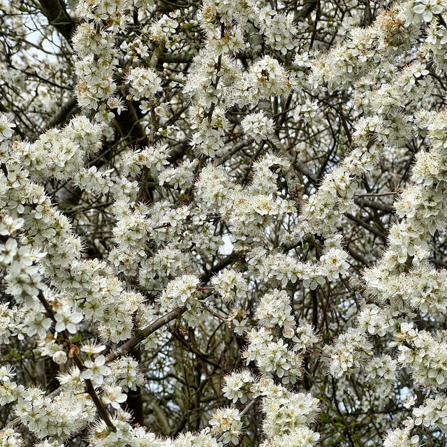
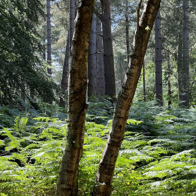
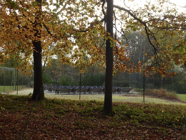
Covered in lush green vegetation, including patches of dense woodland, Southlands Hill offers a haven for various flora and fauna. Visitors can expect to encounter an array of native plant species such as wildflowers, ferns, and mosses. These vibrant habitats also provide a habitat for numerous bird species, small mammals, and insects.
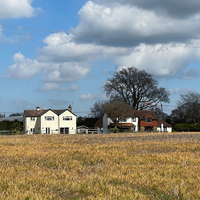
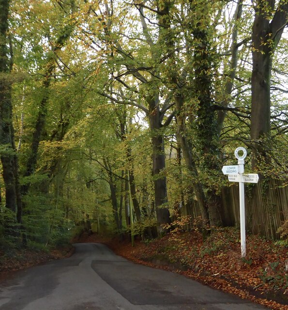
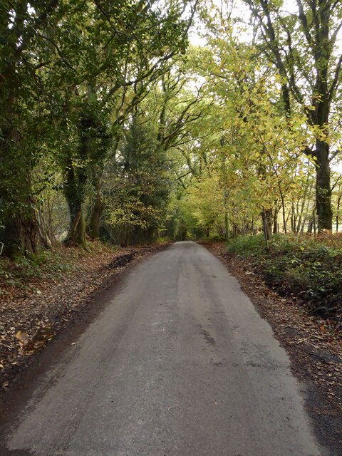
The hill is accessible via well-maintained footpaths, enabling hikers and nature enthusiasts to explore its gentle slopes and take in the breathtaking vistas that stretch across the Sussex countryside. On a clear day, the panoramic views from the summit encompass rolling hills, picturesque farmland, and even glimpses of the English Channel in the distance.
Southlands Hill, with its tranquil ambiance and unspoiled natural beauty, is a popular destination for outdoor activities such as walking, picnicking, and photography. Its proximity to nearby towns and villages makes it easily accessible to both locals and tourists seeking a peaceful retreat in the heart of Sussex.
If you have any feedback on the listing, please let us know in the comments section below.
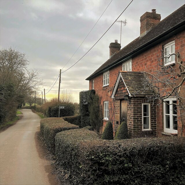
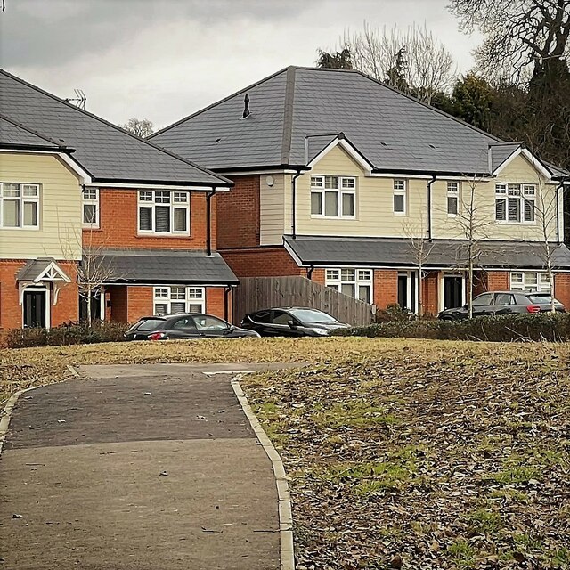
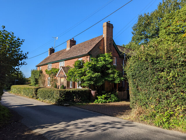
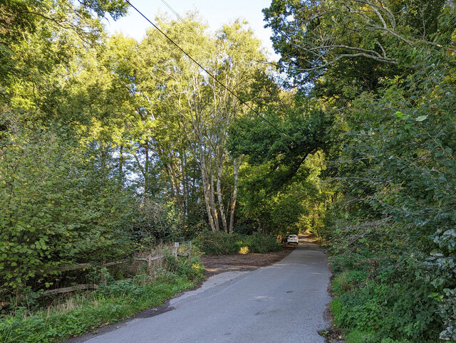
Southlands Hill Images
Images are sourced within 2km of 51.040298/-0.28578192 or Grid Reference TQ2028. Thanks to Geograph Open Source API. All images are credited.


Southlands Hill is located at Grid Ref: TQ2028 (Lat: 51.040298, Lng: -0.28578192)
Administrative County: West Sussex
District: Horsham
Police Authority: Sussex
What 3 Words
///awakening.brothers.sampling. Near Horsham, West Sussex
Nearby Locations
Related Wikis

Mannings Heath
Mannings Heath is a village in the civil parish of Nuthurst and the Horsham District of West Sussex, England. The village is on the A281 road, 2 miles...

Monk's Gate
Monk's Gate is a hamlet in the civil parish of Nuthurst, in the Horsham District of West Sussex, England. It lies on the A281 road 3 miles (5 km) southeast...

Southwater & Nuthurst (electoral division)
Southwater & Nuthurst is an electoral division of West Sussex in the United Kingdom and returns one member to sit on West Sussex County Council. The current...

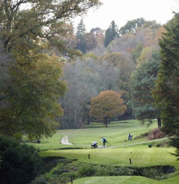
Mannings Heath Golf & Wine Estate
Mannings Heath Golf & Wine Estate is located in Mannings Heath, Horsham in the south of England. The 500 acre parkland site includes two golf courses and...

Lower Beeding
Lower Beeding is a village and civil parish in the Horsham District of West Sussex, England. The village lies on the B2110, B2115 and A281 roads 3.5 miles...

Newells Preparatory School
Newells Preparatory School came to Lower Beeding, Sussex, in 1946. It has been at Handcross and known as Handcross Park School since 1968. It merged with...

St Leonard's Forest SSSI
St Leonard's Forest SSSI is an 85.4-hectare (211-acre) biological Site of Special Scientific Interest east of Horsham in West Sussex. The SSSI is in two...

Nuthurst
Nuthurst is a village and civil parish in the Horsham district of West Sussex, England. The north of the parish borders Horsham town, with Nuthurst village...
Nearby Amenities
Located within 500m of 51.040298,-0.28578192Have you been to Southlands Hill?
Leave your review of Southlands Hill below (or comments, questions and feedback).