Kirkham
Settlement in Yorkshire Ryedale
England
Kirkham
Kirkham is a small village located in the county of Yorkshire, in the northern region of England. Situated approximately 10 miles north of the city of York, Kirkham is nestled within the picturesque Howardian Hills, an Area of Outstanding Natural Beauty.
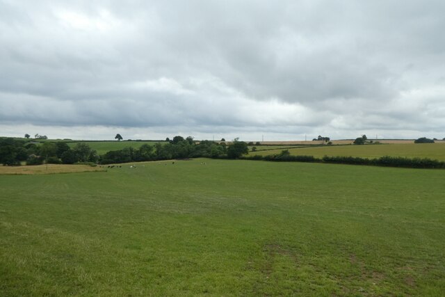
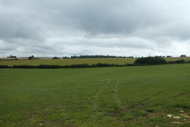
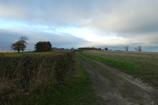
The village itself is characterized by its charming rural setting, with rolling countryside, green fields, and quaint stone buildings. It has a population of around 500 residents, giving it a close-knit community feel. The village is mainly residential, with a few local businesses and amenities serving the needs of the residents.
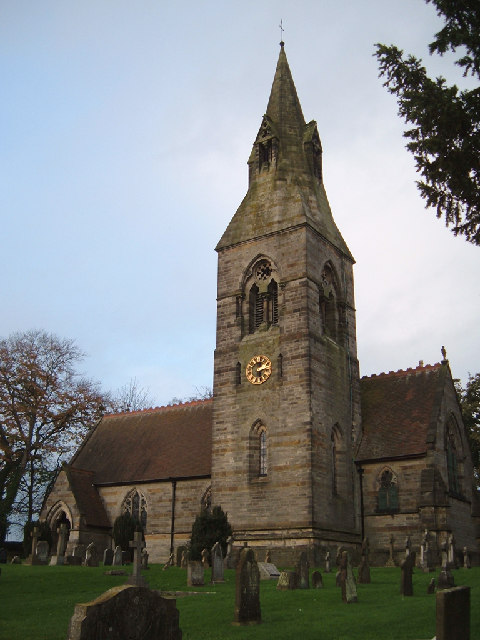
Kirkham is renowned for its historic charm and rich heritage. The centerpiece of the village is the Grade I listed Church of All Saints, which dates back to the 12th century. The church boasts stunning architectural features, including a Norman doorway and a 15th-century timber roof. The village is also home to a number of other historic buildings, such as Kirkham Hall, a beautiful Georgian manor house.
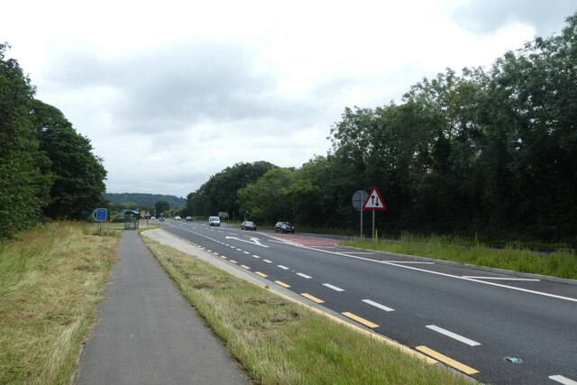
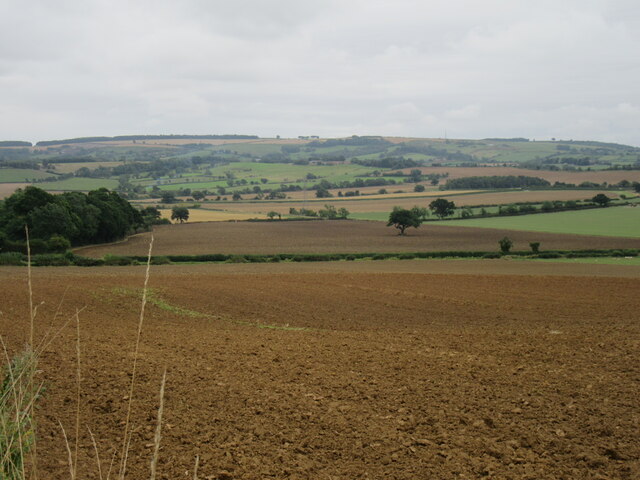
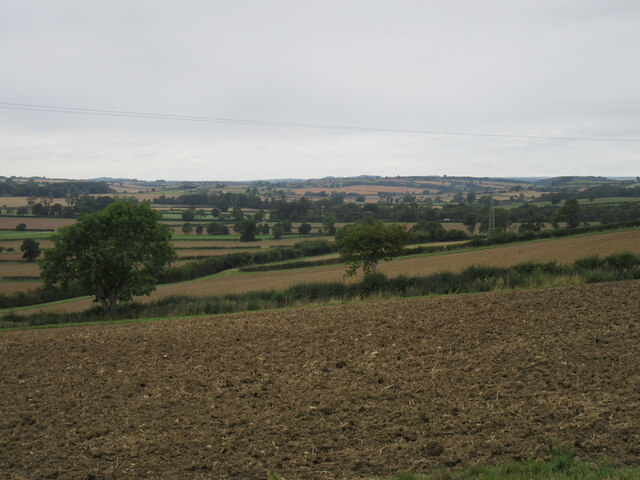
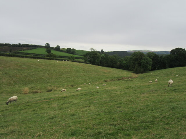
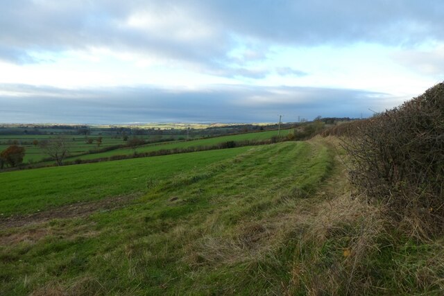
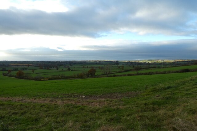
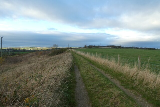
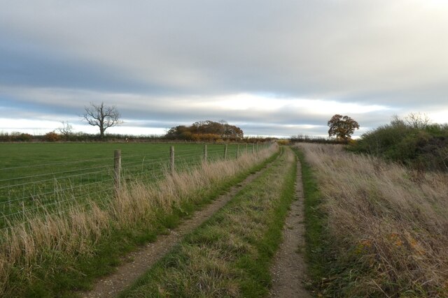
Nature lovers will find plenty to explore in Kirkham and its surrounding area. The village is surrounded by idyllic countryside, offering opportunities for scenic walks, cycling, and birdwatching. The nearby Howardian Hills provide further opportunities for outdoor pursuits and offer breathtaking views of the surrounding landscape.
Overall, Kirkham is a charming village that offers a peaceful and picturesque escape from the bustling cities. Its rich history, natural beauty, and strong community spirit make it an attractive destination for both locals and visitors alike.
If you have any feedback on the listing, please let us know in the comments section below.
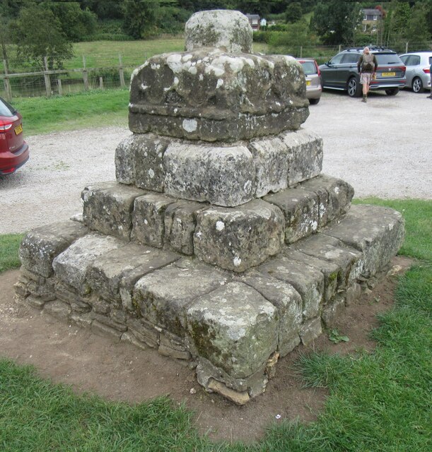
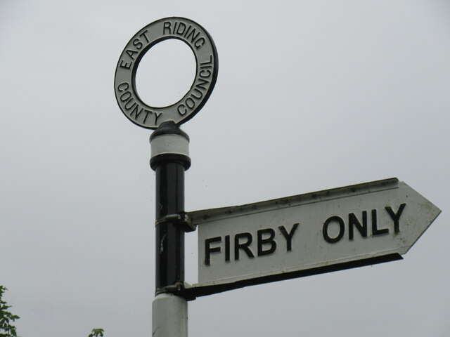
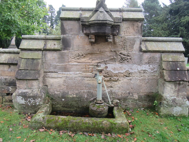
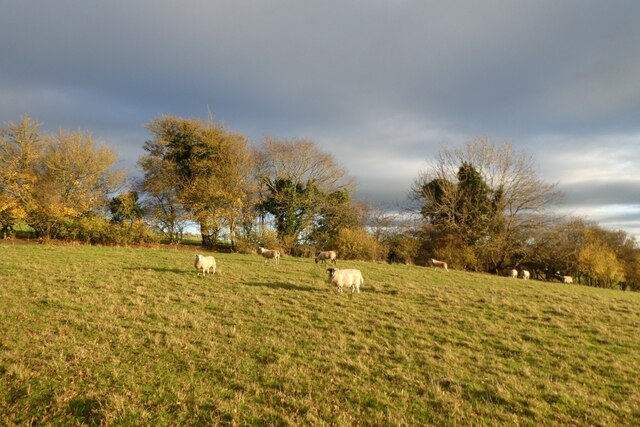
Kirkham Images
Images are sourced within 2km of 54.082844/-0.872932 or Grid Reference SE7365. Thanks to Geograph Open Source API. All images are credited.

Kirkham is located at Grid Ref: SE7365 (Lat: 54.082844, Lng: -0.872932)
Division: East Riding
Administrative County: North Yorkshire
District: Ryedale
Police Authority: North Yorkshire
What 3 Words
///duties.visions.clap. Near Malton, North Yorkshire
Nearby Locations
Related Wikis

Kirkham, North Yorkshire
Kirkham is a village in the civil parish of Westow, in North Yorkshire, England, close to Malton, situated in the Howardian Hills alongside the River Derwent...
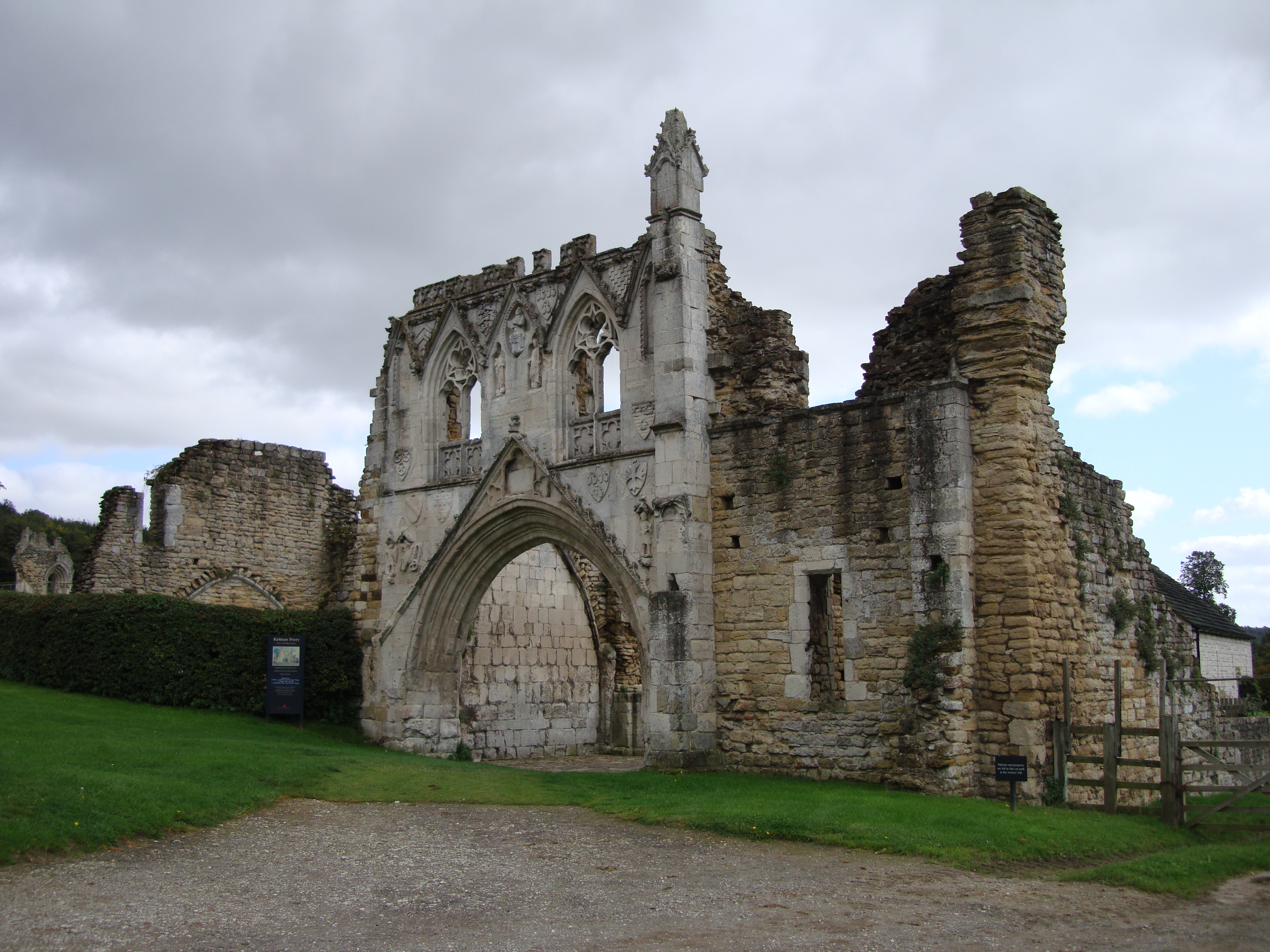
Kirkham Priory
The ruins of Kirkham Priory are situated on the banks of the River Derwent, at Kirkham, North Yorkshire, England. The Augustinian priory was founded in...
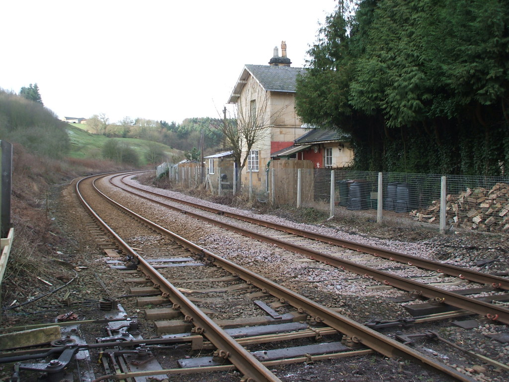
Kirkham Abbey railway station
Kirkham Abbey railway station was a minor railway station serving the village of Kirkham in North Yorkshire, England on the York to Scarborough Line and...
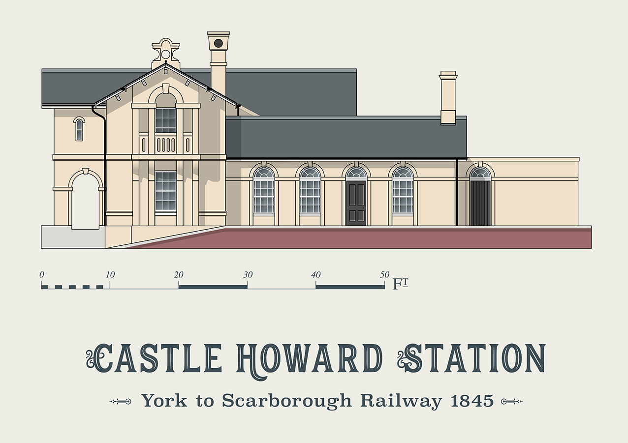
Castle Howard railway station
Castle Howard railway station was a minor railway station serving the village of Welburn and the stately home at Castle Howard in North Yorkshire, England...

Crambe, North Yorkshire
Crambe is a village and civil parish in the Ryedale district of North Yorkshire, England. It is near the River Derwent and 6 miles (10 km) south-west of...

Firby, Ryedale
Firby is a village in the civil parish of Westow, in North Yorkshire, England, 4 miles (6 km) south west of Malton. Firby was historically a township in...
Whitwell-on-the-Hill
Whitwell-on-the-Hill is a village and civil parish in the Ryedale district, in the county of North Yorkshire, England. The civil parish population (including...
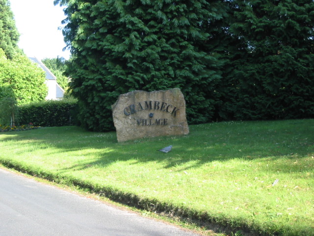
Crambeck
Crambeck near Crambe and Malton in Yorkshire is near the River Derwent. == History == === Roman === Crambeck is famous in antiquity as having been the Roman...
Nearby Amenities
Located within 500m of 54.082844,-0.872932Have you been to Kirkham?
Leave your review of Kirkham below (or comments, questions and feedback).