Blue Hill
Hill, Mountain in Yorkshire Ryedale
England
Blue Hill
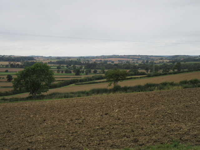
Blue Hill is a prominent hill located in the county of Yorkshire, England. Situated in the North York Moors National Park, it forms part of the larger North York Moors range, making it a popular destination for outdoor enthusiasts and nature lovers.
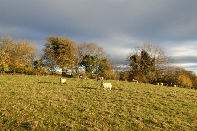
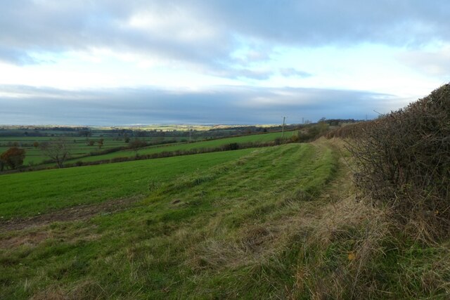
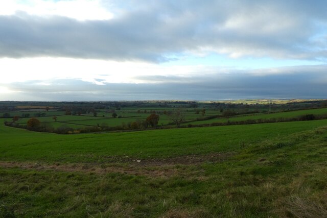
Rising to an elevation of approximately 454 meters (1,490 feet) above sea level, Blue Hill offers breathtaking panoramic views of the surrounding countryside. Its distinctive blue hue, which is caused by the presence of heather in bloom during the summer months, gives the hill its name.
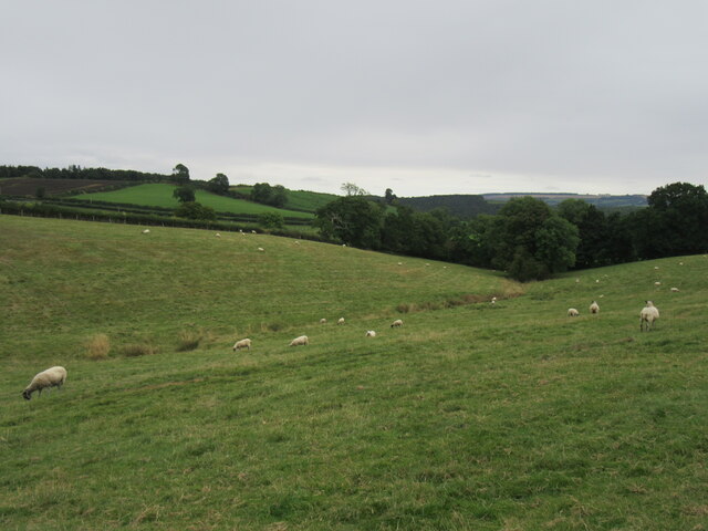
The hill is composed primarily of sandstone, which has been shaped by centuries of erosion, creating a rugged and dramatic landscape. Its slopes are dotted with a variety of plant and animal species, including wildflowers, heather, and various species of birds and mammals.
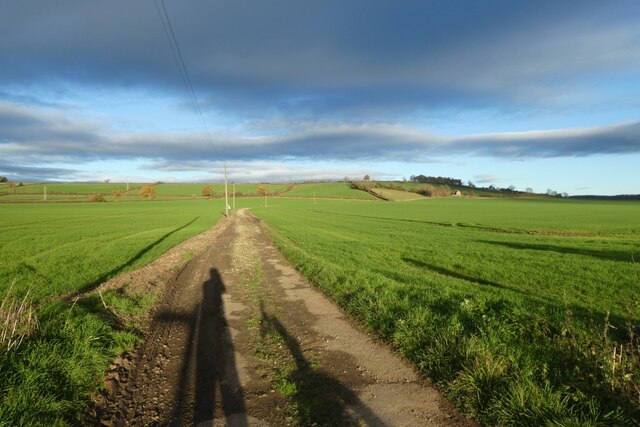
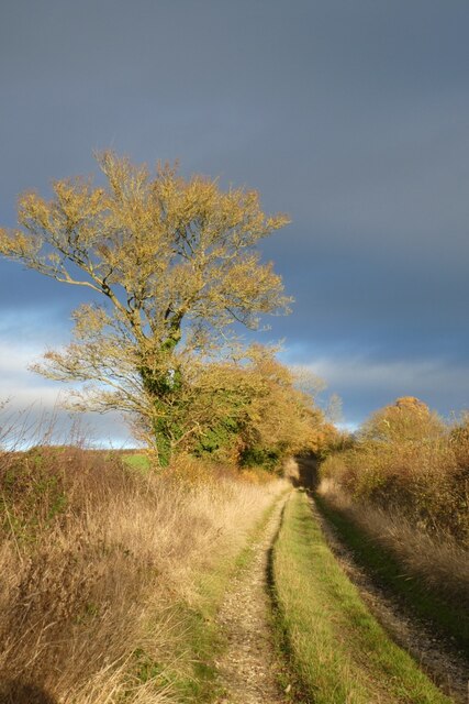
There are several walking trails that crisscross Blue Hill, providing visitors with opportunities to explore its diverse terrain. These trails range in difficulty, making them suitable for both experienced hikers and beginners. Along the way, hikers may encounter ancient stone walls, remnants of historic settlements, and even the occasional grazing sheep.
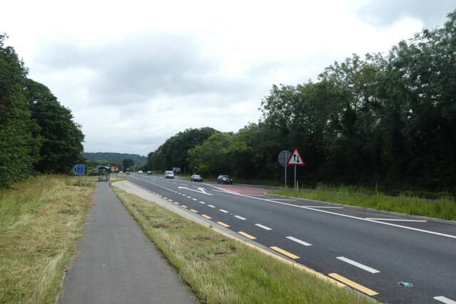
Blue Hill is easily accessible, with a well-maintained road leading to the base of the hill. Parking areas are available for visitors, allowing for convenient access to the walking trails.
Whether you are seeking a challenging hike or simply a peaceful retreat in nature, Blue Hill in Yorkshire offers a unique and captivating experience for all who venture to its summit.
If you have any feedback on the listing, please let us know in the comments section below.
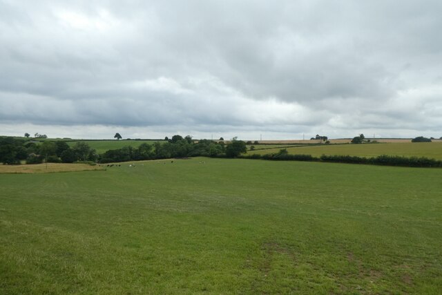
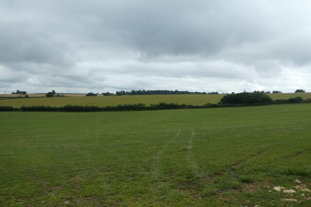
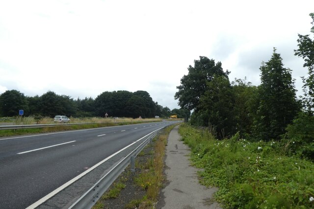
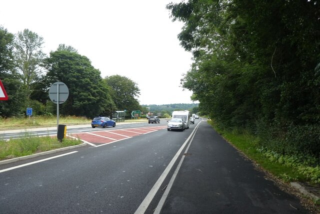
Blue Hill Images
Images are sourced within 2km of 54.080706/-0.88479691 or Grid Reference SE7365. Thanks to Geograph Open Source API. All images are credited.


Blue Hill is located at Grid Ref: SE7365 (Lat: 54.080706, Lng: -0.88479691)
Division: North Riding
Administrative County: North Yorkshire
District: Ryedale
Police Authority: North Yorkshire
What 3 Words
///clash.wired.norms. Near Sheriff Hutton, North Yorkshire
Nearby Locations
Related Wikis
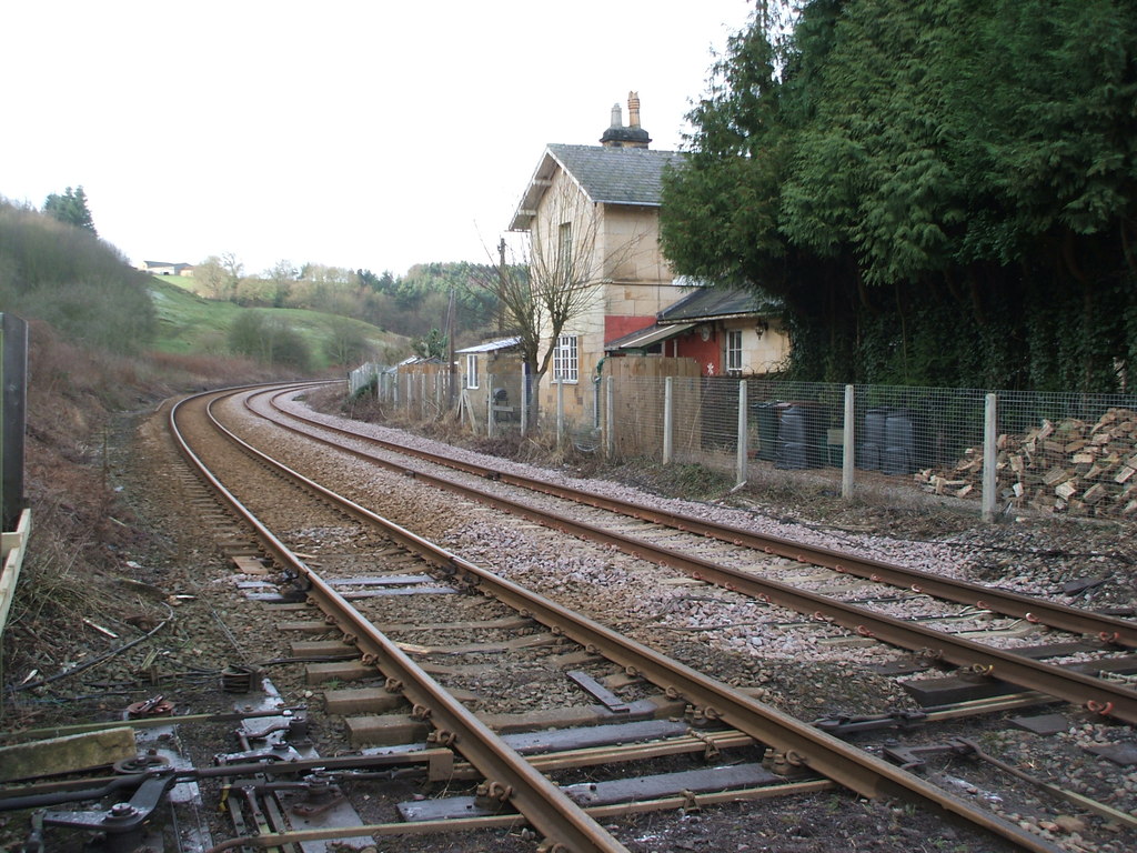
Kirkham Abbey railway station
Kirkham Abbey railway station was a minor railway station serving the village of Kirkham in North Yorkshire, England on the York to Scarborough Line and...
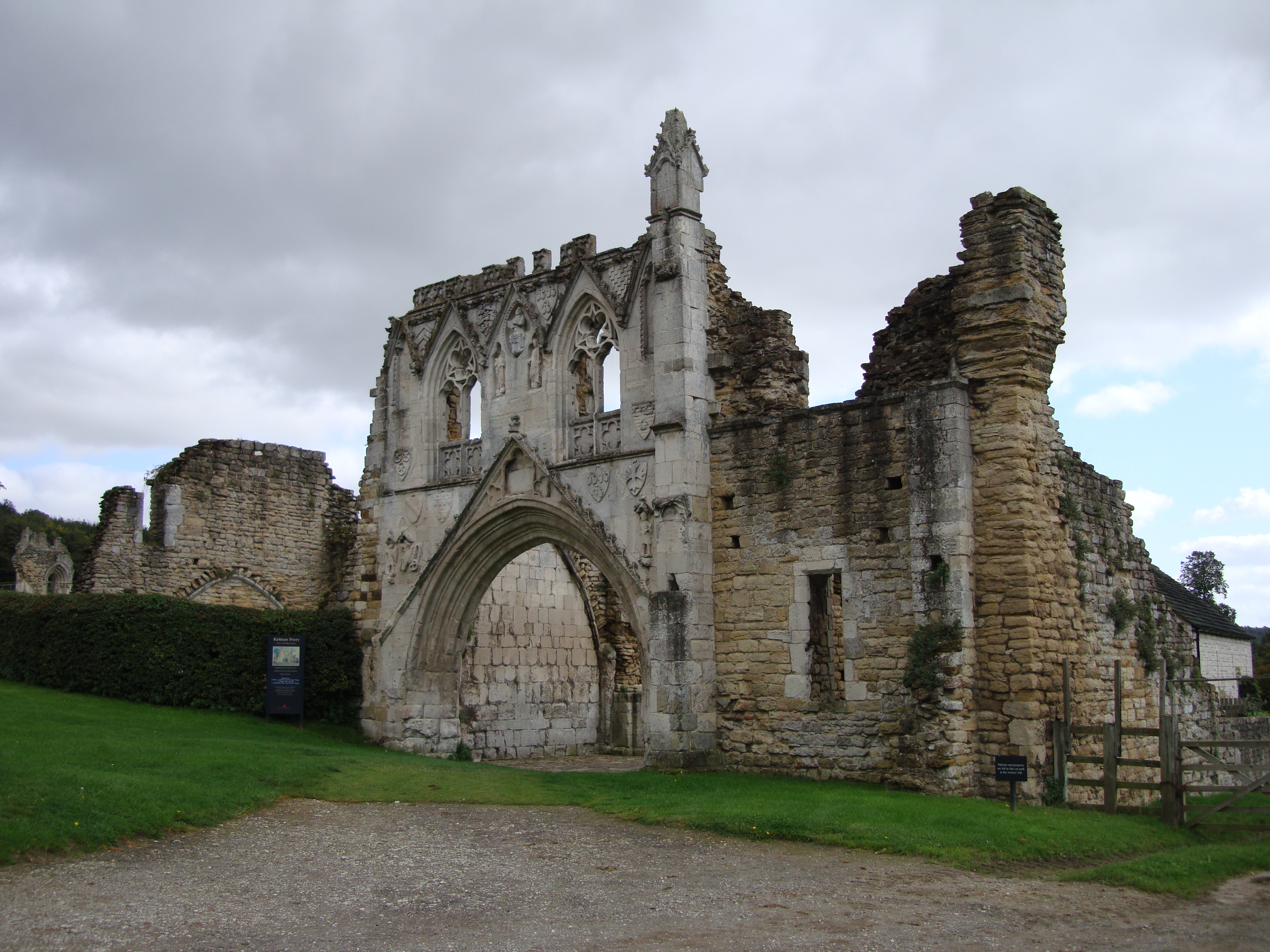
Kirkham Priory
The ruins of Kirkham Priory are situated on the banks of the River Derwent, at Kirkham, North Yorkshire, England. The Augustinian priory was founded in...

Crambe, North Yorkshire
Crambe is a village and civil parish in the Ryedale district of North Yorkshire, England. It is near the River Derwent and 6 miles (10 km) south-west of...
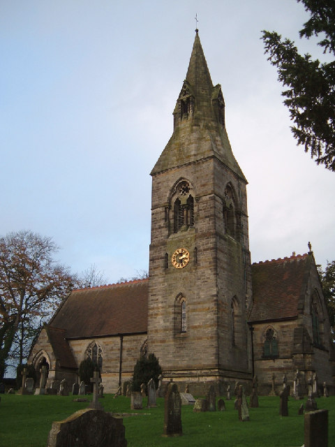
Whitwell-on-the-Hill
Whitwell-on-the-Hill is a village and civil parish in the Ryedale district, in the county of North Yorkshire, England. The civil parish population (including...

Kirkham, North Yorkshire
Kirkham is a village in the civil parish of Westow, in North Yorkshire, England, close to Malton, situated in the Howardian Hills alongside the River Derwent...
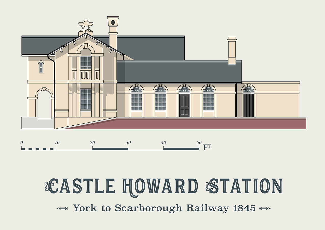
Castle Howard railway station
Castle Howard railway station was a minor railway station serving the village of Welburn and the stately home at Castle Howard in North Yorkshire, England...

Howsham railway station (North Yorkshire)
Howsham railway station was a short-lived railway station between the villages of Howsham and Crambe in North Yorkshire, England. Located on the York to...

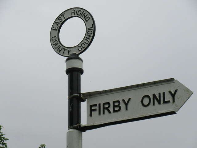
Firby, Ryedale
Firby is a village in the civil parish of Westow, in North Yorkshire, England, 4 miles (6 km) south west of Malton. Firby was historically a township in...
Nearby Amenities
Located within 500m of 54.080706,-0.88479691Have you been to Blue Hill?
Leave your review of Blue Hill below (or comments, questions and feedback).