Oak Cliff Wood
Wood, Forest in Yorkshire Ryedale
England
Oak Cliff Wood
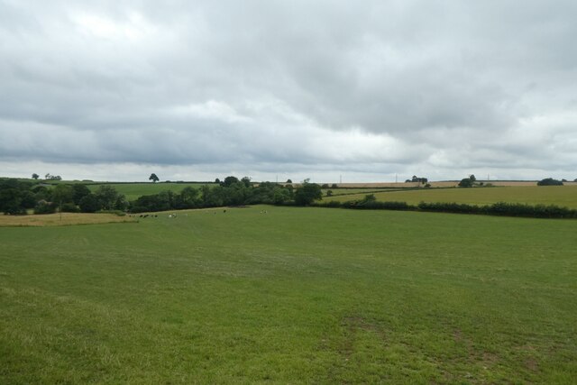
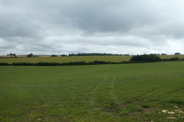
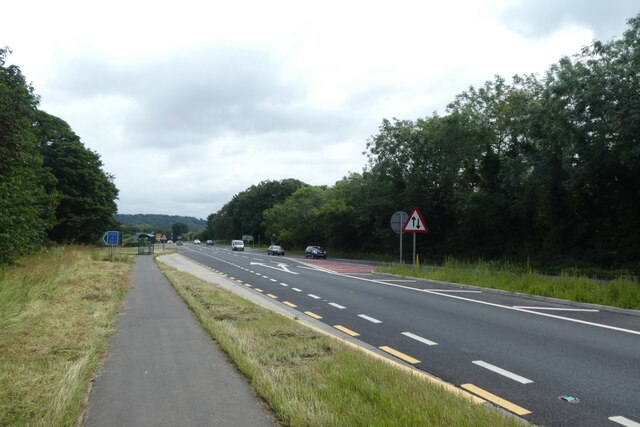
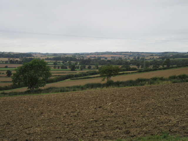
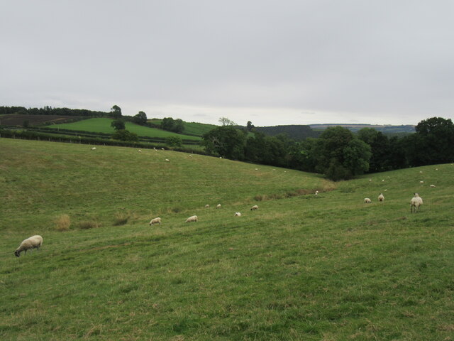
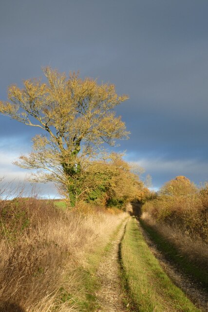
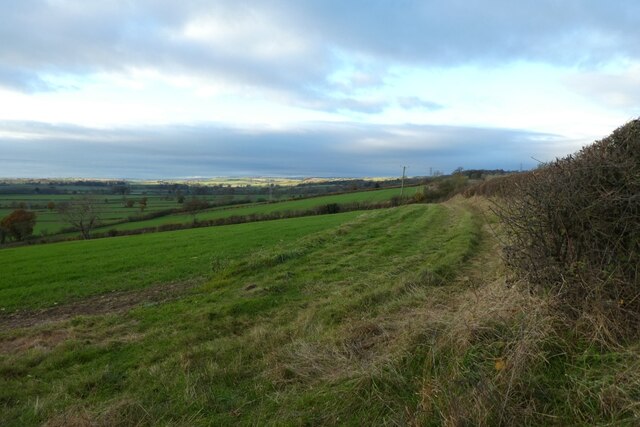
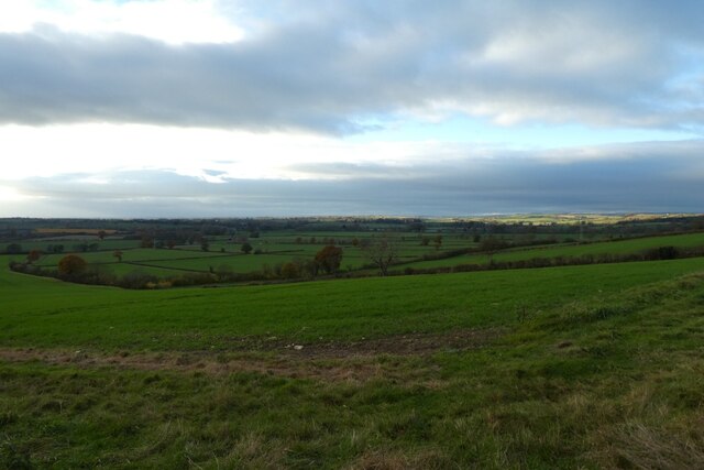
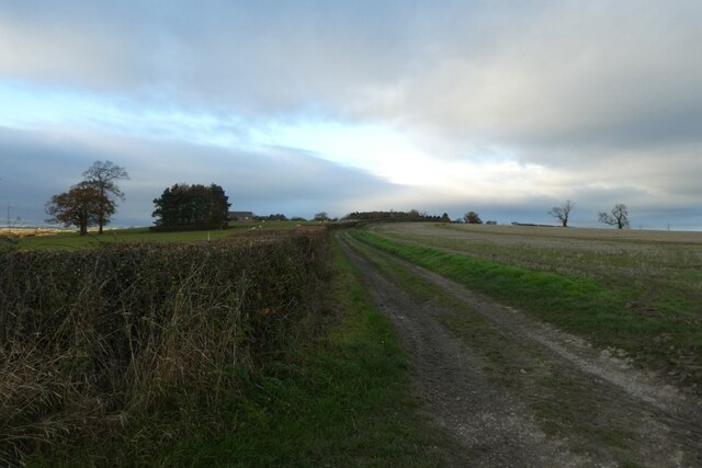
Oak Cliff Wood is a picturesque woodland located in Yorkshire, England. Covering an area of approximately 100 acres, this enchanting forest is renowned for its rich biodiversity and tranquil atmosphere. The wood is primarily composed of oak trees, which dominate the landscape and lend the area its name.
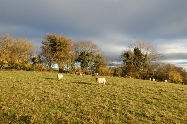
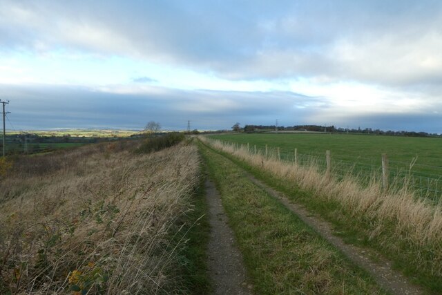
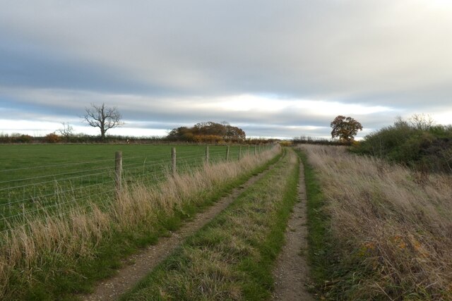
The woodland is a haven for nature enthusiasts and outdoor enthusiasts alike. It offers a range of recreational activities, including hiking, birdwatching, and photography. The well-maintained trails wind through the forest, guiding visitors through its diverse ecological zones. Along these paths, one can encounter a variety of plant and animal species, including bluebells, wild garlic, and woodpeckers.
Oak Cliff Wood is also home to a small pond, attracting a myriad of aquatic life and providing a serene spot for relaxation. It is a popular spot for families and individuals seeking a peaceful retreat from the bustle of everyday life.
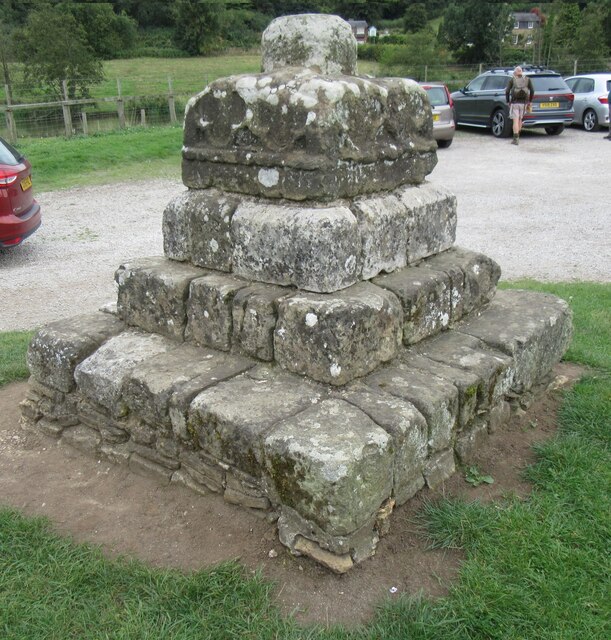
The woodland has a rich history, with evidence of human activity dating back centuries. It is believed that the wood was once used for timber production, and remnants of old structures can still be found scattered throughout the area. Today, it is managed by the local authorities and conservation organizations to preserve its natural beauty and ecological importance.
Visitors to Oak Cliff Wood are advised to respect the environment and adhere to any guidelines set by the management. With its stunning scenery and abundant wildlife, this woodland is a true gem in the heart of Yorkshire.
If you have any feedback on the listing, please let us know in the comments section below.
Oak Cliff Wood Images
Images are sourced within 2km of 54.08017/-0.87930851 or Grid Reference SE7365. Thanks to Geograph Open Source API. All images are credited.

Oak Cliff Wood is located at Grid Ref: SE7365 (Lat: 54.08017, Lng: -0.87930851)
Division: North Riding
Administrative County: North Yorkshire
District: Ryedale
Police Authority: North Yorkshire
What 3 Words
///harnessed.bypassed.harmonica. Near Malton, North Yorkshire
Nearby Locations
Related Wikis
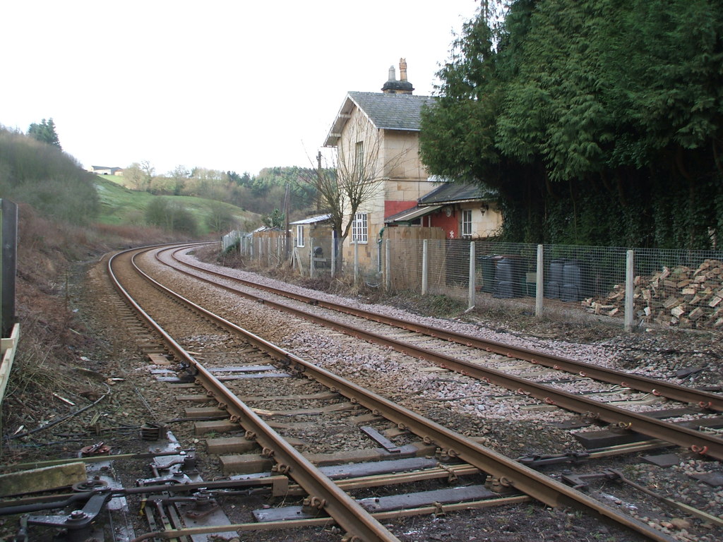
Kirkham Abbey railway station
Kirkham Abbey railway station was a minor railway station serving the village of Kirkham in North Yorkshire, England on the York to Scarborough Line and...
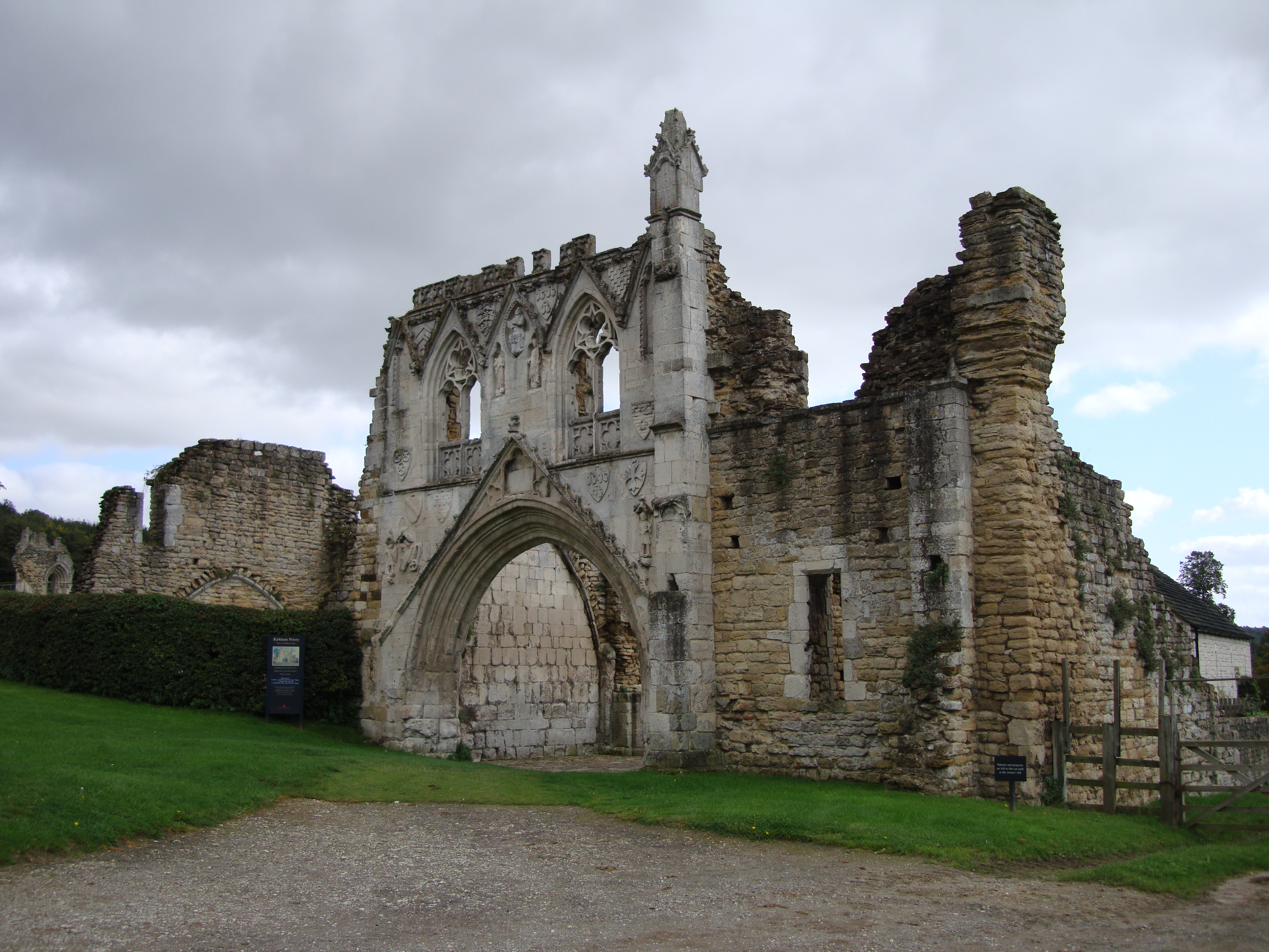
Kirkham Priory
The ruins of Kirkham Priory are situated on the banks of the River Derwent, at Kirkham, North Yorkshire, England. The Augustinian priory was founded in...

Crambe, North Yorkshire
Crambe is a village and civil parish in the Ryedale district of North Yorkshire, England. It is near the River Derwent and 6 miles (10 km) south-west of...

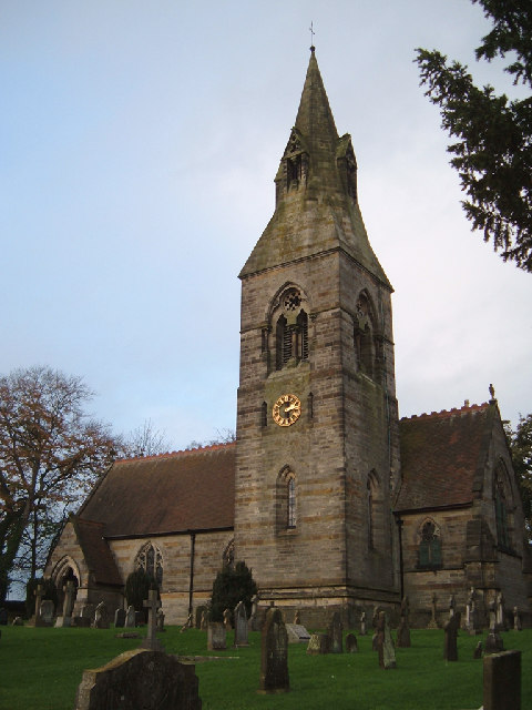
Kirkham, North Yorkshire
Kirkham is a village in the civil parish of Westow, in North Yorkshire, England, close to Malton, situated in the Howardian Hills alongside the River Derwent...
Whitwell-on-the-Hill
Whitwell-on-the-Hill is a village and civil parish in the Ryedale district, in the county of North Yorkshire, England. The civil parish population (including...
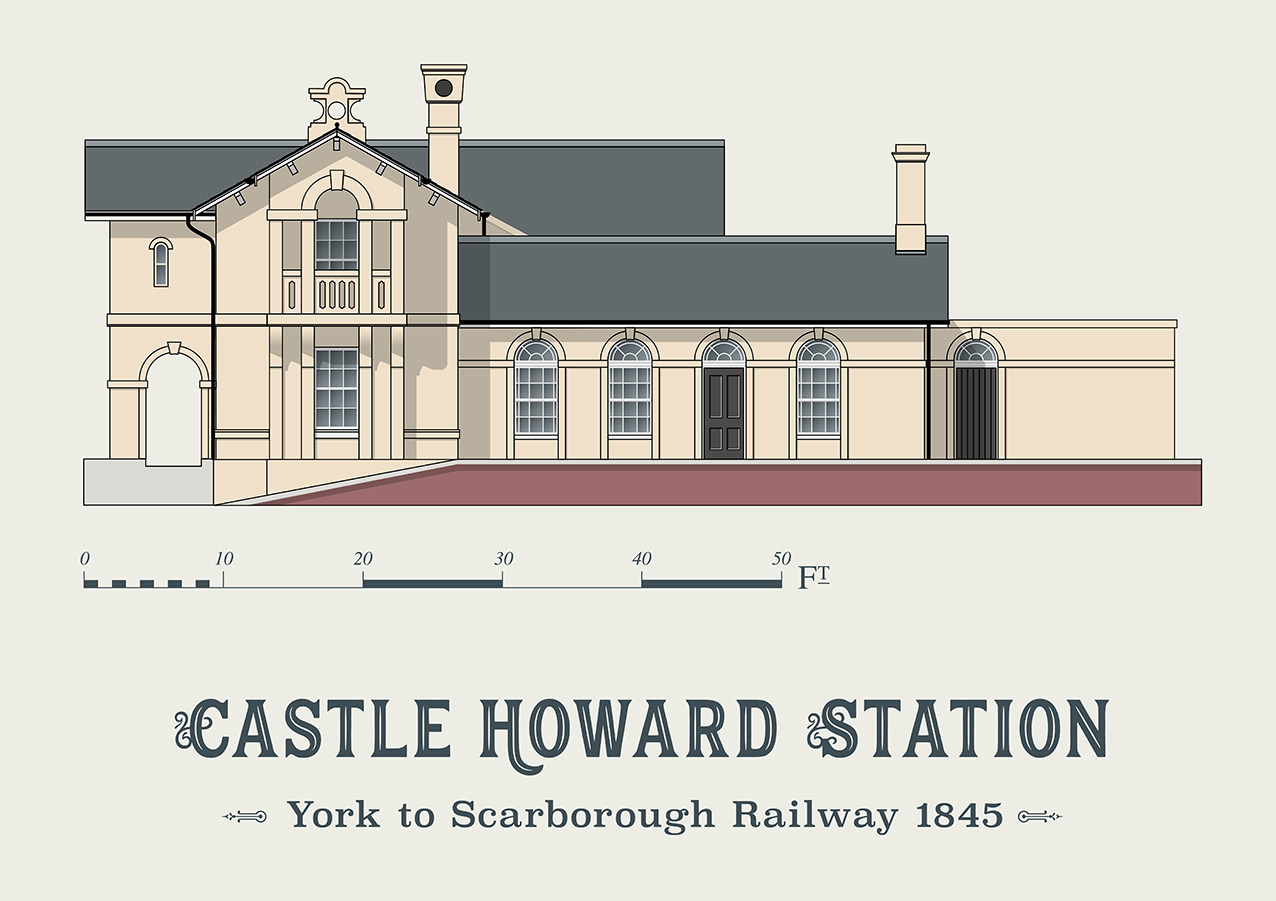
Castle Howard railway station
Castle Howard railway station was a minor railway station serving the village of Welburn and the stately home at Castle Howard in North Yorkshire, England...

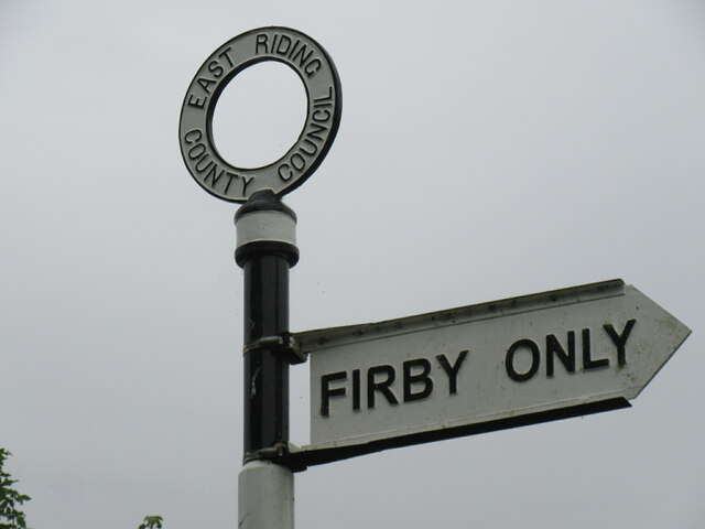
Firby, Ryedale
Firby is a village in the civil parish of Westow, in North Yorkshire, England, 4 miles (6 km) south west of Malton. Firby was historically a township in...

Howsham railway station (North Yorkshire)
Howsham railway station was a short-lived railway station between the villages of Howsham and Crambe in North Yorkshire, England. Located on the York to...
Nearby Amenities
Located within 500m of 54.08017,-0.87930851Have you been to Oak Cliff Wood?
Leave your review of Oak Cliff Wood below (or comments, questions and feedback).