The Mountain

Hill, Mountain in Sussex Adur

England

The Mountain

Mechanical digger - north of Lychpole Farm
Mechanical digger - north of Lychpole Farm Credit: Ian Cunliffe

The Mountain, Sussex, also known as Hill, Mountain, is a popular tourist attraction situated in the county of Sussex, England. Despite its name, it is not a true mountain but rather a large hill that offers breathtaking panoramic views of the surrounding countryside.

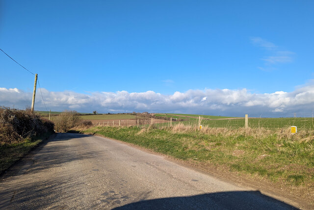
Rising to an elevation of approximately 280 meters (919 feet), The Mountain is located in an area of outstanding natural beauty, characterized by rolling green hills, lush forests, and picturesque villages. It is part of the South Downs National Park, which encompasses a diverse range of landscapes, flora, and fauna.

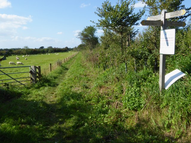
The Mountain is a popular destination for outdoor enthusiasts and nature lovers alike, offering various activities such as hiking, hillwalking, and bird watching. There are several well-marked trails that cater to different levels of fitness and provide opportunities to explore the diverse ecosystems present in the area.

At the summit of The Mountain, visitors are rewarded with stunning views that stretch for miles across the Sussex countryside, offering a unique perspective of the surrounding landscape. On clear days, it is even possible to see as far as the English Channel.

The area surrounding The Mountain is also rich in history, with several archaeological sites and ancient landmarks nearby. The hill itself is believed to have been formed during the last ice age and has been used for various purposes throughout history.

Overall, The Mountain, Sussex is a must-visit destination for those seeking natural beauty, outdoor adventure, and a glimpse into Sussex's rich history.

If you have any feedback on the listing, please let us know in the comments section below.

The Mountain Images

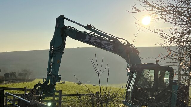
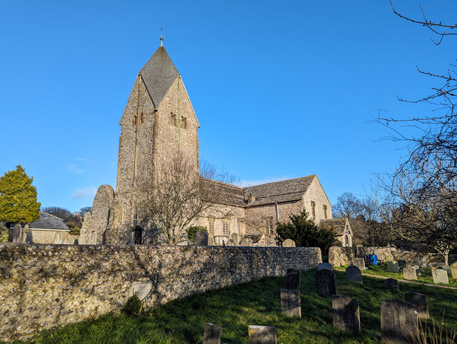
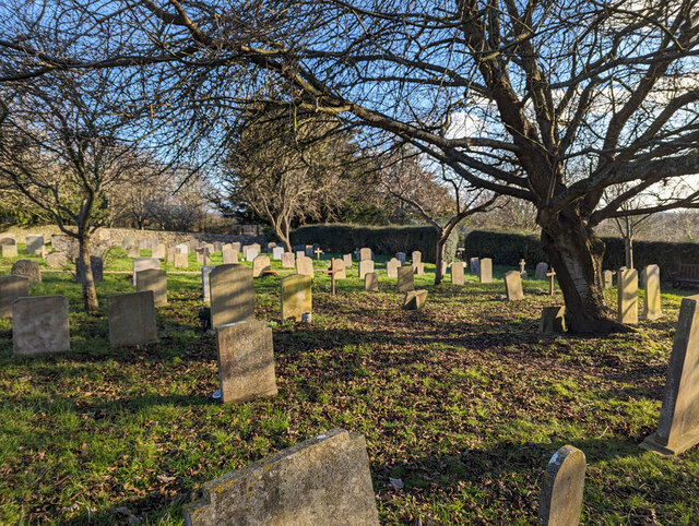
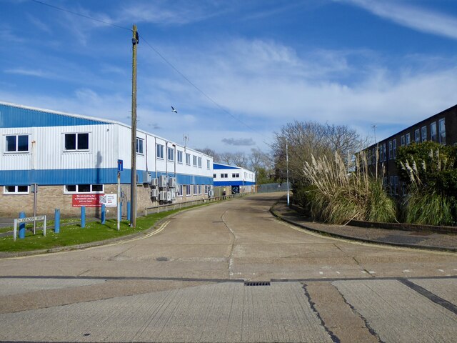
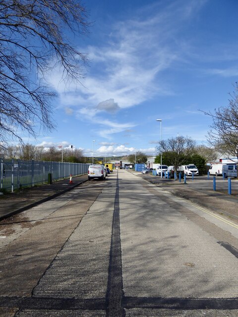
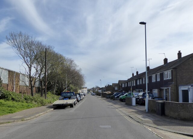
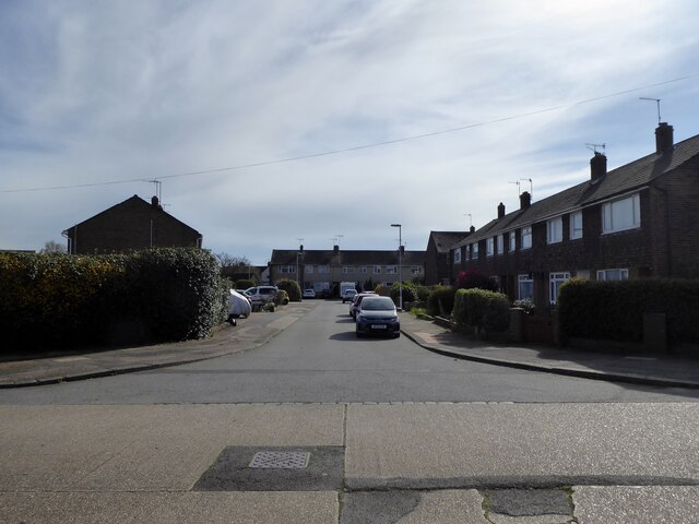
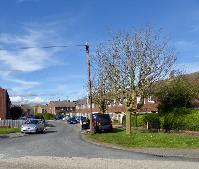
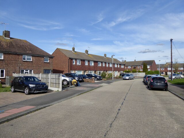
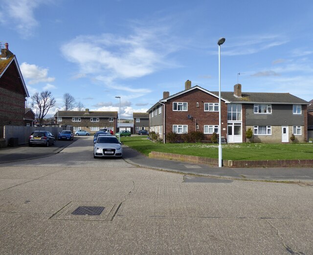
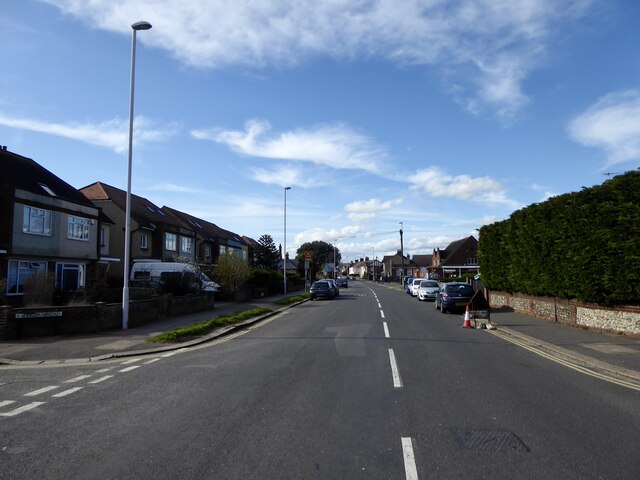
Images are sourced within 2km of 50.843039/-0.35367267 or Grid Reference TQ1606. Thanks to Geograph Open Source API. All images are credited.

Mechanical digger - north of Lychpole Farm
Titch Hill (road) A route over the downs from Sompting to Steyning.
Titch Hill (road)
A route over the downs from Sompting to Steyning.
Sompting church St. Mary's is a grade I listed building, 11th and 12th centuries. The 'Rhenish helm' style of the 11th century tower is unique in England.
Sompting church
St. Mary's is a grade I listed building, 11th and 12th centuries. The 'Rhenish helm' style of the 11th century tower is unique in England.
Graveyard, Sompting One of several extensions to the original churchyard.
Graveyard, Sompting
One of several extensions to the original churchyard.
Deacon Way, Deacon Trading Estate, Worthing A cul de sac off Dominion Way developed from the 1970s onwards.
Deacon Way, Deacon Trading Estate, Worthing
A cul de sac off Dominion Way developed from the 1970s onwards.
Dominion Way, East Worthing Trading Estate, Worthing Heading north to the entrance to GSK who have been based in the town since the early 1960s when the then Beechams Group acquired the site to produce semisynthetic penicillins.
Dominion Way, East Worthing Trading Estate, Worthing
Heading north to the entrance to GSK who have been based in the town since the early 1960s when the then Beechams Group acquired the site to produce semisynthetic penicillins.
Southdownview Road, Worthing The road links Penfold Road to Dominion Road, the B2223. Much of its western side is residential whereas the eastern side is largely made up of trading estates.
Southdownview Road, Worthing
The road links Penfold Road to Dominion Road, the B2223. Much of its western side is residential whereas the eastern side is largely made up of trading estates.
Russell Close, Worthing A cul de sac off Harrison Road developed in the 1960s.
Russell Close, Worthing
A cul de sac off Harrison Road developed in the 1960s.
Hamilton Close, Worthing A cul de sac off Harrison Road developed in the 1960s.
Hamilton Close, Worthing
A cul de sac off Harrison Road developed in the 1960s.
Harrison Road, Worthing A residential road linking Dominion Road, the B2223, with Southdownview Road. Beyond the latter it continues as a restricted byway to Dominion Way. The road first appears on the 1909 OS map and had acquired its current name by the 1930s, however, it was only developed at the western end adjacent to the junction with the B2223 and mainly provided access to a number of nurseries. Much of the current housing only appeared during the 1960s.
Harrison Road, Worthing
A residential road linking Dominion Road, the B2223, with Southdownview Road. Beyond the latter it continues as a restricted byway to Dominion Way. The road first appears on the 1909 OS map and had acquired its current name by the 1930s, however, it was only developed at the western end adjacent to the junction with the B2223 and mainly provided access to a number of nurseries. Much of the current housing only appeared during the 1960s.
Harrison Court, Worthing A cul de sac and associated flats off Harrison Road that was developed in the 1960s.
Harrison Court, Worthing
A cul de sac and associated flats off Harrison Road that was developed in the 1960s.
Dominion Road, Broadwater, Worthing The B2223 heading north  to the junction with Sompting Road. Housing was developed from the 1930s onwards as the town of Worthing expanded into neighbouring Broadwater.
Dominion Road, Broadwater, Worthing
The B2223 heading north to the junction with Sompting Road. Housing was developed from the 1930s onwards as the town of Worthing expanded into neighbouring Broadwater.
Sompting - Church of St Mary It is quite difficult to find a spot to take a photograph of the whole church without it being blocked by trees or gravestones. This photo from a corner of the churchyard afforded about the best overall view I could manage.
The highly unusual Saxon tower which features a Rhenish helm is apparently unique in Britain - see <a href="https://www.geograph.org.uk/photo/4674458">TQ1605 : Sompting - St Mary's - Rhenish Helm</a> for a closer view of this.
See also the shared description below:
Sompting - Church of St Mary
It is quite difficult to find a spot to take a photograph of the whole church without it being blocked by trees or gravestones. This photo from a corner of the churchyard afforded about the best overall view I could manage. The highly unusual Saxon tower which features a Rhenish helm is apparently unique in Britain - see TQ1605 : Sompting - St Mary's - Rhenish Helm for a closer view of this. See also the shared description below:
Sompting - St Mary's - Rhenish Helm A close view of the Rhenish Helm atop the C11th Saxon tower of St Mary's in Sompting. This unusual shingled cap is a unique feature for an English church.
See shared description below.
Sompting - St Mary's - Rhenish Helm
A close view of the Rhenish Helm atop the C11th Saxon tower of St Mary's in Sompting. This unusual shingled cap is a unique feature for an English church. See shared description below.
Exit through lychgate at Sompting church
Below the tower at Sompting church
Southern elevation of Sompting church This is a Grade 1 listed building.
Southern elevation of Sompting church
This is a Grade 1 listed building.
Footpath goes west from Sompting
Show me another place!

The Mountain is located at Grid Ref: TQ1606 (Lat: 50.843039, Lng: -0.35367267)

Administrative County: West Sussex

District: Adur

Police Authority: Sussex

What 3 Words

///vets.necks.ready. Near Broadwater, West Sussex

Nearby Locations

The Mountain

Related Wikis

Sompting Abbotts Preparatory School

Sompting Abbotts Preparatory School is a historic West Sussex independent school in Sompting, near Worthing and Steyning. It educates children of both...

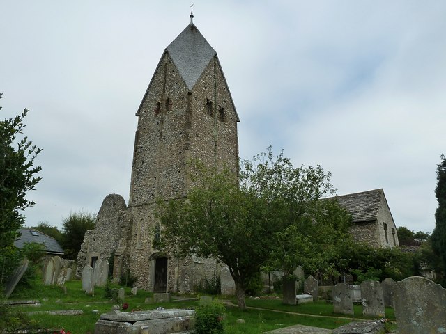
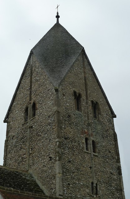
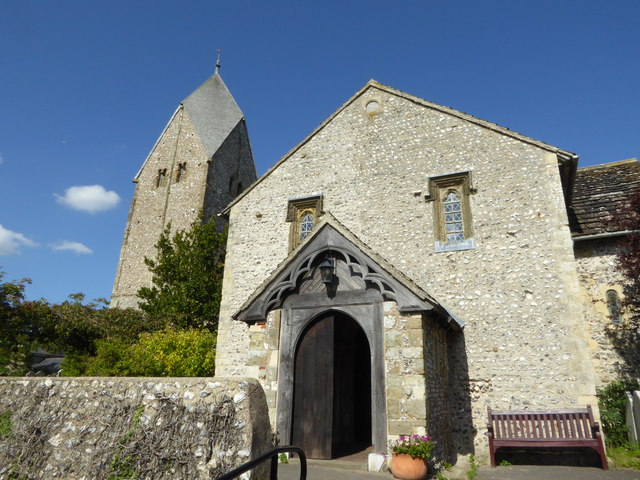
Church of St Mary the Blessed Virgin, Sompting

The Church of St Mary the Blessed Virgin, also known as St Mary the Virgin Church and St Mary's Church, is the Church of England parish church of Sompting...

Worthing United F.C.

Worthing United Football Club is a football club based in Worthing, England. Established in 1988 by a merger of Wigmore Athletic and Southdown, they are...

Bohunt School Worthing

Bohunt School Worthing (BSW) is an 11–16 mixed secondary school with academy status in Worthing, West Sussex, England. It was established in September...

Nearby Amenities

Located within 500m of 50.843039,-0.35367267
Bench
Backrest: yes
Lat/Long: 50.8386738/-0.3520641
The data included in this document is from www.openstreetmap.org. The data is made available under ODbL.

Have you been to The Mountain?

Leave your review of The Mountain below (or comments, questions and feedback).