Steyning Round Hill
Hill, Mountain in Sussex Horsham
England
Steyning Round Hill

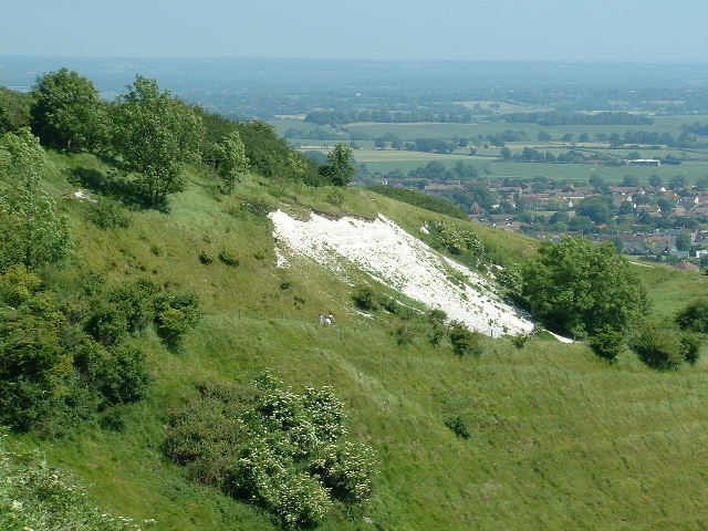
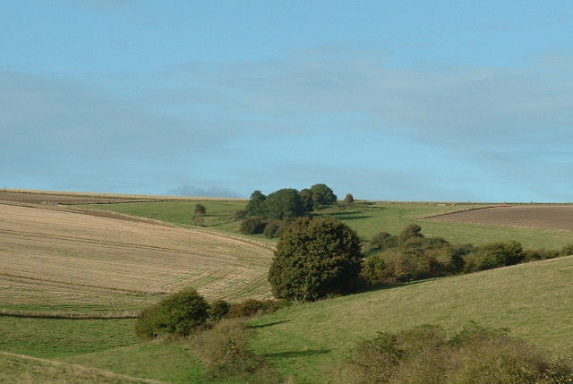
Steyning Round Hill is a prominent hill located in the county of Sussex, England. Standing at an elevation of 182 meters (597 feet), it is often regarded as one of the highest points in the South Downs. The hill is situated near the historic town of Steyning, approximately seven miles northwest of the coastal city of Brighton.
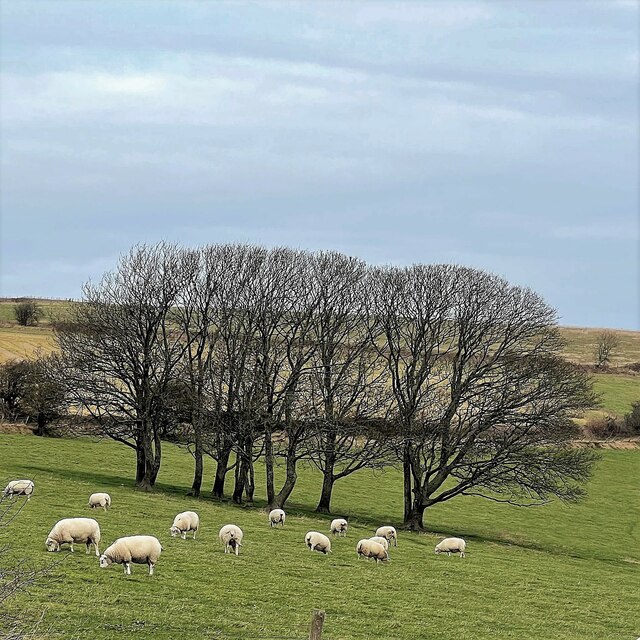
Covered in lush greenery, Steyning Round Hill offers breathtaking panoramic views of the surrounding countryside. The summit provides an excellent vantage point to observe the rolling hills, meadows, and woodlands that characterize the South Downs National Park.
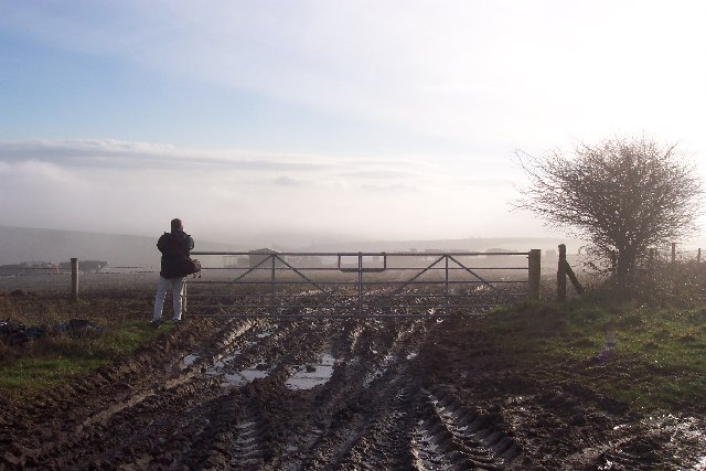
The hill is a popular destination for outdoor enthusiasts, hikers, and nature lovers. Several well-marked footpaths traverse the area, allowing visitors to explore the diverse flora and fauna that inhabit the region. Additionally, a circular walking route known as "The Round Hill Roam" offers a delightful 3.5-mile trek around the hill, guiding visitors through picturesque landscapes and providing glimpses of the local wildlife.
Steyning Round Hill is also steeped in history, with evidence of human activity dating back thousands of years. Archaeological excavations have revealed the presence of Iron Age settlements and ancient burial sites in the vicinity of the hill. Furthermore, the area is dotted with remnants of the past, including prehistoric earthworks and medieval ridge and furrow patterns.
Overall, Steyning Round Hill is a captivating natural landmark in Sussex, offering visitors an opportunity to immerse themselves in the beauty of the South Downs while also connecting with the rich history and heritage of the region.
If you have any feedback on the listing, please let us know in the comments section below.
Steyning Round Hill Images
Images are sourced within 2km of 50.880909/-0.35238106 or Grid Reference TQ1610. Thanks to Geograph Open Source API. All images are credited.


Steyning Round Hill is located at Grid Ref: TQ1610 (Lat: 50.880909, Lng: -0.35238106)
Administrative County: West Sussex
District: Horsham
Police Authority: Sussex
What 3 Words
///exclusive.crawled.flamed. Near Steyning, West Sussex
Nearby Locations
Related Wikis
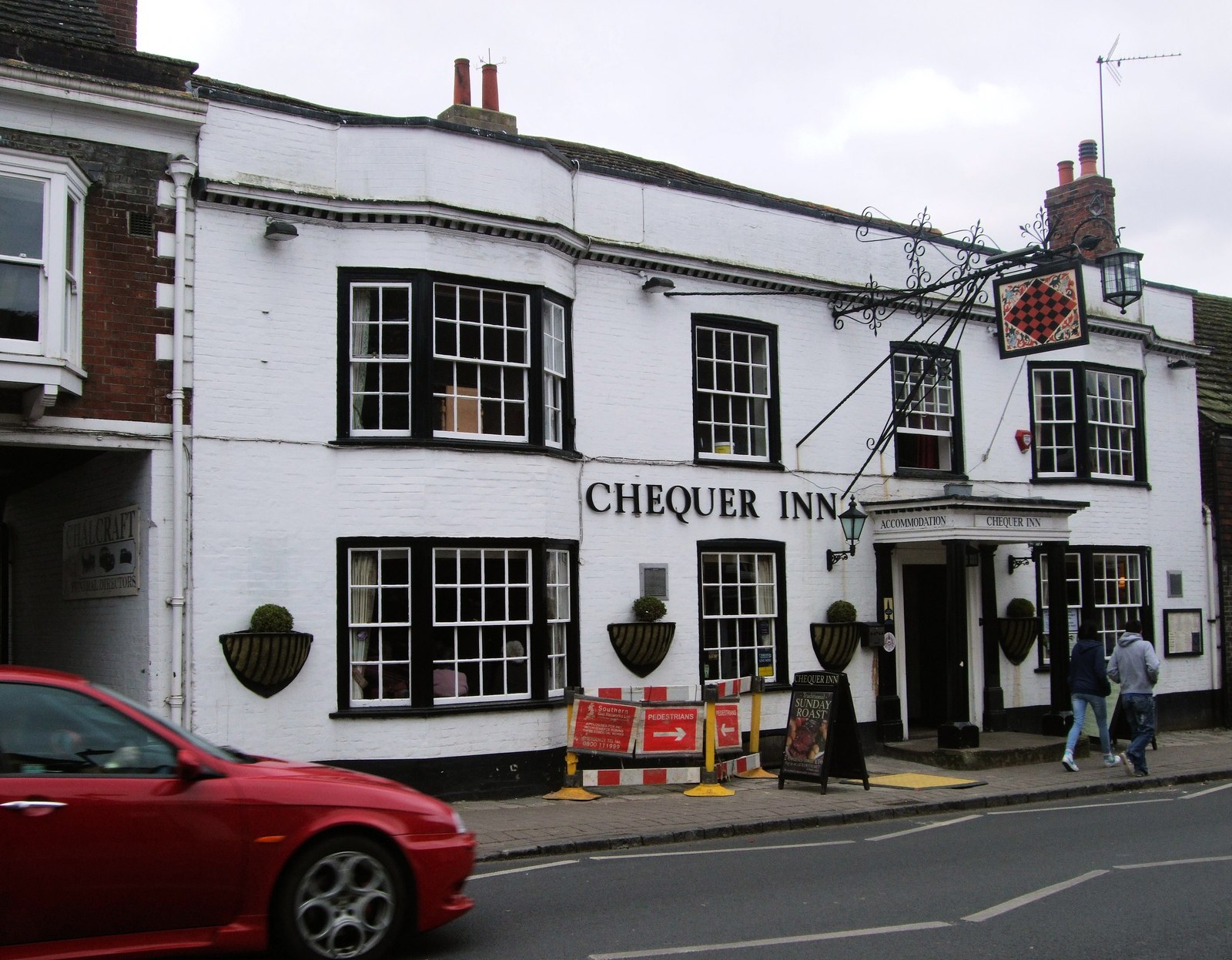
Chequer Inn
The Chequer Inn is a historic 15th Century coaching house (believed to date from around 1440) in the Conservation Area of the old market town of Steyning...

Steyning
Steyning ( STEN-ing) is a town and civil parish in the Horsham district of West Sussex, England. It is located at the north end of the River Adur gap in...

Old Town Hall, Steyning
The Old Town Hall is a municipal building in The High Street in Steyning, West Sussex, England. The building, which was used as a courthouse and a public...
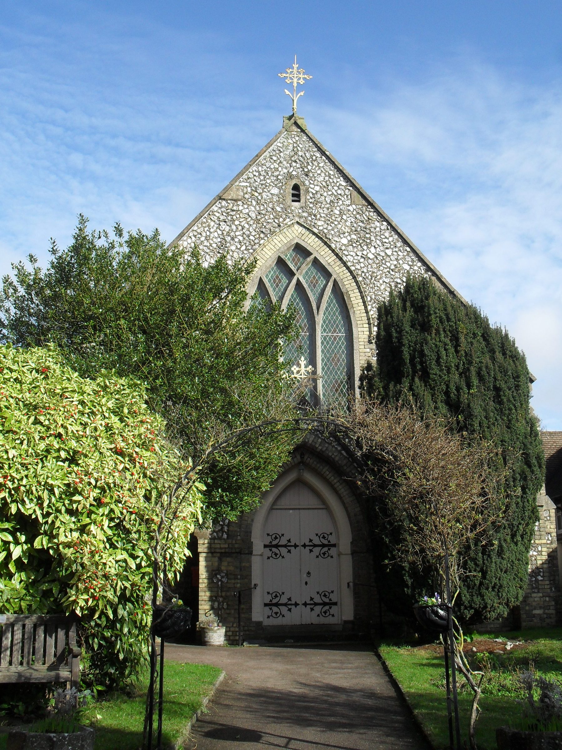
Steyning Methodist Church
Steyning Methodist Church is a Methodist place of worship serving Steyning and surrounding villages in the Horsham district of West Sussex, England. Built...
Related Videos
Camping West Sussex
Nothing beats being sourrounded by nature with friends and on this occasion watching a bit of rubgy.
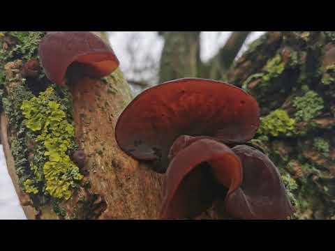
Walks in Sussex: Steyning to Shoreham
A wet and windy stroll over Beeding Hill from Steyning to Shoreham. Features some Wood Ear mushrooms and pheasants ...

Celebrating Christmas with family in England
On the Christmas Day we walked around the small loop of south down national park with Jack, Tony and Becca. It was a lovely ...
Steyning Bowl
I went to the Steyning Bowl.
Nearby Amenities
Located within 500m of 50.880909,-0.35238106Have you been to Steyning Round Hill?
Leave your review of Steyning Round Hill below (or comments, questions and feedback).