Bloater Hill
Hill, Mountain in Lincolnshire West Lindsey
England
Bloater Hill

Bloater Hill is a modest hill located in the county of Lincolnshire, England. Situated near the village of Kirkby Underwood, the hill is part of the Lincolnshire Wolds, an Area of Outstanding Natural Beauty. Despite its name, Bloater Hill is not a particularly large or imposing mountain, but rather a gentle slope that offers stunning views of the surrounding countryside.
At an elevation of approximately 100 meters (328 feet), Bloater Hill is a popular spot for hikers, nature enthusiasts, and locals seeking a peaceful retreat. The hill is covered in lush green grass and dotted with various wildflowers, providing a picturesque setting for visitors to enjoy.
From the summit of Bloater Hill, one can admire panoramic vistas that stretch across the Lincolnshire Wolds, showcasing the area's undulating hills, charming villages, and patchwork fields. On clear days, it is even possible to catch a glimpse of the distant coastline.
Access to Bloater Hill is relatively easy, with designated footpaths and trails leading up to the summit. The hill is also home to a variety of wildlife, including numerous bird species, small mammals, and occasional sightings of deer.
Bloater Hill, while not a prominent landmark in terms of size, offers a tranquil and serene escape for those seeking a peaceful retreat amongst the natural beauty of Lincolnshire. Its accessibility and scenic views make it a popular destination for both locals and tourists alike.
If you have any feedback on the listing, please let us know in the comments section below.
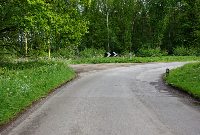
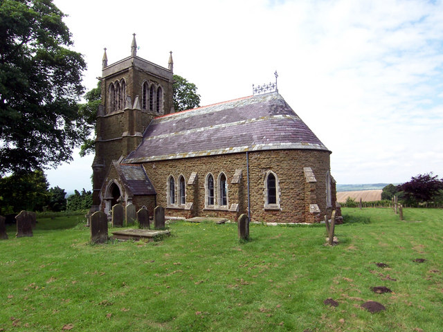
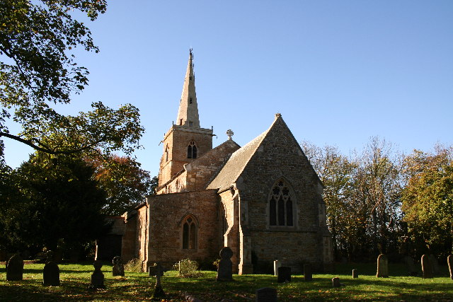
Bloater Hill Images
Images are sourced within 2km of 53.370633/-0.27541201 or Grid Reference TF1487. Thanks to Geograph Open Source API. All images are credited.


Bloater Hill is located at Grid Ref: TF1487 (Lat: 53.370633, Lng: -0.27541201)
Administrative County: Lincolnshire
District: West Lindsey
Police Authority: Lincolnshire
What 3 Words
///super.shepherds.droplet. Near Market Rasen, Lincolnshire
Nearby Locations
Related Wikis
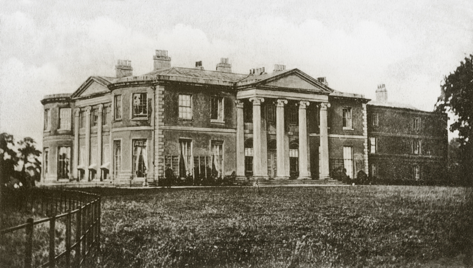
Willingham House
Willingham House was a country house in North Willingham (near Market Rasen), Lincolnshire, England. It was built around 1790 for Ayscoghe Boucherett...

North Willingham
North Willingham is a village and civil parish in the West Lindsey district of Lincolnshire, England. The population of the civil parish (including Sixhills...

Legsby
Legsby (otherwise Legesby) is a small village and civil parish in the West Lindsey district of Lincolnshire, England. The population of the civil parish...
Sixhills
Sixhills is a village in the West Lindsey district of Lincolnshire, England, about 3 miles (4.8 km) south-east from Market Rasen. It lies just south of...

Market Rasen Racecourse
Market Rasen Racecourse is a National Hunt racecourse in the town of Market Rasen, in Lincolnshire, England. It is owned and operated by Jockey Club Racecourses...

Tealby
Tealby is a village and civil parish in the West Lindsey district of Lincolnshire, England, situated on the edge of the Lincolnshire Wolds and 3 miles...

De Aston School
De Aston School is a mixed secondary school with academy status in Market Rasen, Lincolnshire, England. It also has a sixth form but no longer has a boarding...
Linwood, Lincolnshire
Linwood is a small village and civil parish in the West Lindsey district of Lincolnshire, England, on the minor B1202 road about 2 miles (3 km) south from...
Nearby Amenities
Located within 500m of 53.370633,-0.27541201Have you been to Bloater Hill?
Leave your review of Bloater Hill below (or comments, questions and feedback).