Alwalton Hill

Hill, Mountain in Huntingdonshire

England

Alwalton Hill

Peterborough Services At the A1/A1(M)/A605/A1139 interchange. Looking west, from the entrance to the Extra concourse.
Peterborough Services Credit: M J Richardson

Alwalton Hill is a prominent hill located in the district of Huntingdonshire in Cambridgeshire, England. Standing at an elevation of approximately 50 meters above sea level, the hill offers stunning panoramic views of the surrounding countryside and nearby villages.

The hill is a popular spot for outdoor enthusiasts, hikers, and nature lovers due to its scenic beauty and peaceful surroundings. It is also home to a variety of wildlife, including birds, rabbits, and deer, making it a great destination for birdwatching and wildlife spotting.

Alwalton Hill is easily accessible by foot or by car, with several footpaths and trails leading to the summit. At the top of the hill, visitors can enjoy a picnic while taking in the breathtaking views of the rolling hills and lush greenery.

Overall, Alwalton Hill is a picturesque and tranquil location that offers a perfect escape from the hustle and bustle of everyday life. Whether you're looking for a leisurely stroll, a challenging hike, or simply a peaceful retreat in nature, Alwalton Hill has something to offer for everyone.

If you have any feedback on the listing, please let us know in the comments section below.

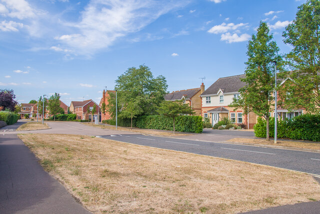
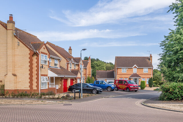
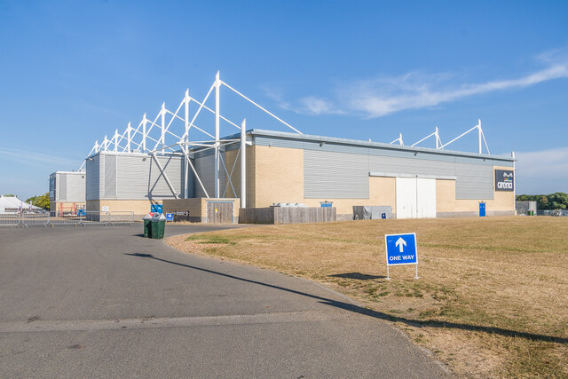
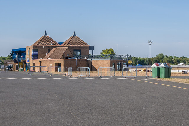
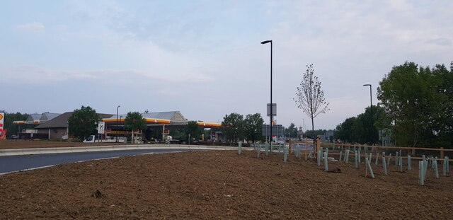
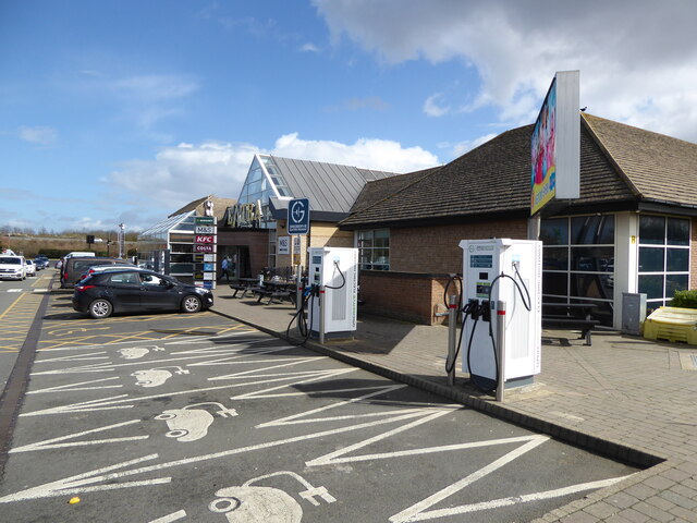
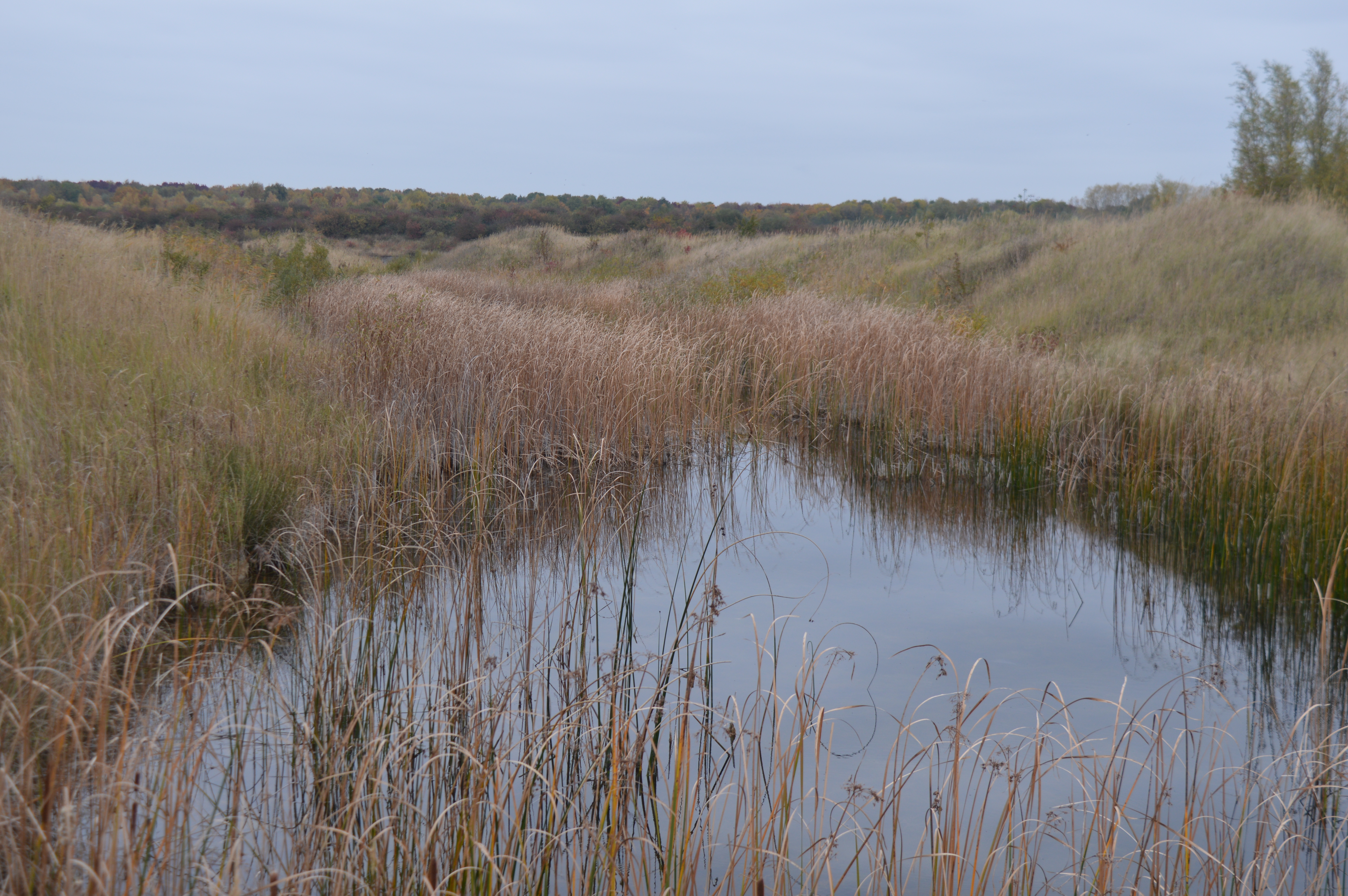
Alwalton Hill Images

Images are sourced within 2km of 52.529433/-0.30911378 or Grid Reference TL1493. Thanks to Geograph Open Source API. All images are credited.

Peterborough Services At the A1/A1(M)/A605/A1139 interchange. Looking west, from the entrance to the Extra concourse.
Peterborough Services
At the A1/A1(M)/A605/A1139 interchange. Looking west, from the entrance to the Extra concourse.
Peterborough Services At the A1/A1(M)/A605/A1139 interchange. Looking northwest, from the entrance to the Extra concourse.
Peterborough Services
At the A1/A1(M)/A605/A1139 interchange. Looking northwest, from the entrance to the Extra concourse.
Peterborough Services At the A1/A1(M)/A605/A1139 interchange. Looking south to the entrance to the Extra concourse.
Peterborough Services
At the A1/A1(M)/A605/A1139 interchange. Looking south to the entrance to the Extra concourse.
Peterborough Services At the A1/A1(M)/A605/A1139 interchange. Looking northeast, from the entrance to the Extra concourse.
Peterborough Services
At the A1/A1(M)/A605/A1139 interchange. Looking northeast, from the entrance to the Extra concourse.
South gate, East of England Showground Side entrance to the East of England Showground off Dunblane Drive.
South gate, East of England Showground
Side entrance to the East of England Showground off Dunblane Drive.
Dunblane Drive 1990s housing.
Dunblane Drive
1990s housing.
Glencoe Way 1990s housing off Dunblane Drive.
Glencoe Way
1990s housing off Dunblane Drive.
East of England Showground Foodstalls at an event at the East of England Showground.
East of England Showground
Foodstalls at an event at the East of England Showground.
Peterborough Arena, East of England Showground Main indoor venue at the East of England Showground.
Peterborough Arena, East of England Showground
Main indoor venue at the East of England Showground.
Gilmore's Bar, East of England Showground Bar alongside the speedway circuit at the East of England Showground.
Gilmore's Bar, East of England Showground
Bar alongside the speedway circuit at the East of England Showground.
Speedway circuit, East of England Showground The speedway circuit at the East of England Showground.
Speedway circuit, East of England Showground
The speedway circuit at the East of England Showground.
Peterborough services Looking towards the service station building from a recent extension of the car park.
Peterborough services
Looking towards the service station building from a recent extension of the car park.
Lorry and coach park Looking across a recent extension of the services at Peterborough.
Lorry and coach park
Looking across a recent extension of the services at Peterborough.
Tree planting at the services There has been a recent extension of the services at Peterborough.
Tree planting at the services
There has been a recent extension of the services at Peterborough.
Towards Shell Looking across a recent extension of the services at Peterborough.
Towards Shell
Looking across a recent extension of the services at Peterborough.
Zebra crossing and lorry park Looking across part of a recent extension of the services at Peterborough.
Zebra crossing and lorry park
Looking across part of a recent extension of the services at Peterborough.
Peterborough Services No waiting at this electric car charging station. The station on the other side of the area was busy with waiting for spaces.
Peterborough Services
No waiting at this electric car charging station. The station on the other side of the area was busy with waiting for spaces.
Peterborough Services All Ionity chargers are busy!
Peterborough Services
All Ionity chargers are busy!
Show me another place!

Alwalton Hill is located at Grid Ref: TL1493 (Lat: 52.529433, Lng: -0.30911378)

Unitary Authority: Peterborough

Police Authority: Cambridgeshire

What 3 Words

///flute.hazelnuts.flats. Near Yaxley, Cambridgeshire

Nearby Locations

Alwalton Hill

Related Wikis

A605 road

The A605 road is a main road in the English counties of Northamptonshire and Cambridgeshire. == Route (west to east) == The A605 strikes north from junction...

Hampton Nature Reserve

Hampton Nature Reserve, to the south of Peterborough, England is home to Europe's largest population of great crested newts. The site is a Special Area...

Orton Pit

Orton Pit is a 145.8-hectare (360-acre) biological Site of Special Scientific Interest on the southern outskirts of Peterborough in Cambridgeshire. It...

Haddon, Cambridgeshire

Haddon is a village and civil parish in Cambridgeshire, England. Haddon lies approximately 5 miles (8 km) south-west of Peterborough city centre, near...

Nearby Amenities

Located within 500m of 52.529433,-0.30911378
Crossing
Lat/Long: 52.5312439/-0.3031178
Motorway Junction
Fletton Parkway Interchange
Exit To: A605 - Peterborough South;Oundle;Services
Ref: 17
Lat/Long: 52.5265343/-0.3112879
Give Way
Direction: forward
Lat/Long: 52.5321313/-0.3086159
Street Lamp
Lat/Long: 52.5258899/-0.3048008
Street Lamp
Lat/Long: 52.5260966/-0.3046537
Crossing
Crossing: uncontrolled
Crossing Markings: yes
Lat/Long: 52.5296863/-0.3113798
Crossing
Crossing: uncontrolled
Crossing Markings: yes
Lat/Long: 52.5314168/-0.3091267
Crossing
Crossing: uncontrolled
Crossing Markings: yes
Lat/Long: 52.5318551/-0.3094435
Crossing
Crossing: uncontrolled
Crossing Markings: yes
Lat/Long: 52.5323014/-0.3110356
Street Lamp
Direction: 290
Lat/Long: 52.5269126/-0.3031507
Street Lamp
Direction: 290
Lat/Long: 52.5271384/-0.3030188
Street Lamp
Direction: 285
Lat/Long: 52.5274218/-0.3028565
Street Lamp
Direction: 25
Lat/Long: 52.5251071/-0.3076057
Street Lamp
Direction: 25
Lat/Long: 52.525232/-0.3080711
Street Lamp
Direction: 25
Lat/Long: 52.5253532/-0.3085316
Street Lamp
Direction: 115
Lat/Long: 52.5256463/-0.3085742
Street Lamp
Direction: 115
Lat/Long: 52.5258256/-0.3084411
Street Lamp
Direction: 115
Lat/Long: 52.5261255/-0.3082277
Street Lamp
Direction: 115
Lat/Long: 52.5264854/-0.3079695
Street Lamp
Direction: 115
Lat/Long: 52.526841/-0.3077124
Street Lamp
Direction: 115
Lat/Long: 52.5271235/-0.3075071
Street Lamp
Direction: 205
Lat/Long: 52.5271563/-0.3069877
Street Lamp
Direction: 205
Lat/Long: 52.5270252/-0.3064633
Street Lamp
Direction: 30
Lat/Long: 52.5273035/-0.3071849
Street Lamp
Direction: 30
Lat/Long: 52.5271977/-0.3067824
Street Lamp
Direction: 30
Lat/Long: 52.5269009/-0.3057274
Street Lamp
Direction: 20
Lat/Long: 52.5267606/-0.3051887
Street Lamp
Direction: 20
Lat/Long: 52.5266351/-0.3046358
Street Lamp
Direction: 30
Lat/Long: 52.5264724/-0.3038898
Street Lamp
Direction: 25
Lat/Long: 52.5270485/-0.3062667
Street Lamp
Direction: 30
Lat/Long: 52.5273962/-0.307587
Crossing
Lat/Long: 52.5330973/-0.3063148
Crossing
Crossing: uncontrolled
Crossing Markings: yes
Lat/Long: 52.533453/-0.306466
Crossing
Crossing: uncontrolled
Crossing Markings: yes
Lat/Long: 52.5336135/-0.3064767
Crossing
Crossing: uncontrolled
Crossing Markings: yes
Lat/Long: 52.5332159/-0.3062201
Barrier: lift_gate
Lat/Long: 52.5332976/-0.3118318
Barrier: lift_gate
Lat/Long: 52.5332409/-0.3116764
Access: permit
Barrier: turnstile
Bicycle: no
Horse: no
Motor Vehicle: no
Lat/Long: 52.5315089/-0.3089576
Crossing
Lat/Long: 52.5319246/-0.3087076
Crossing
Lat/Long: 52.5317503/-0.3087142
Crossing
Lat/Long: 52.5318823/-0.3088317
Crossing
Lat/Long: 52.529774/-0.3122935
Crossing
Lat/Long: 52.5308345/-0.3133517
Crossing
Lat/Long: 52.5329692/-0.3079505
Crossing
Lat/Long: 52.5318472/-0.3081859
Barrier: kerb
Kerb: lowered
Lat/Long: 52.5329903/-0.309241
Barrier: kerb
Kerb: lowered
Lat/Long: 52.5329884/-0.3095855
Barrier: kerb
Kerb: lowered
Lat/Long: 52.5329988/-0.3114269
Barrier: kerb
Kerb: lowered
Lat/Long: 52.5330993/-0.3114748
Crossing
Lat/Long: 52.5329894/-0.3094098
Crossing
Lat/Long: 52.5330537/-0.311453
Barrier: kerb
Kerb: lowered
Lat/Long: 52.532993/-0.3079535
Barrier: kerb
Kerb: lowered
Lat/Long: 52.5329383/-0.3079466
Barrier: kerb
Kerb: lowered
Lat/Long: 52.533096/-0.3063768
Barrier: kerb
Kerb: lowered
Lat/Long: 52.5331007/-0.306159
Crossing
Lat/Long: 52.5330995/-0.3062131
Barrier: kerb
Kerb: lowered
Lat/Long: 52.5321524/-0.3034102
Barrier: kerb
Kerb: lowered
Lat/Long: 52.5320871/-0.303429
Barrier: kerb
Kerb: lowered
Lat/Long: 52.5319998/-0.3034477
Barrier: kerb
Kerb: lowered
Lat/Long: 52.5317184/-0.3035591
Barrier: kerb
Kerb: lowered
Lat/Long: 52.5304881/-0.3034679
Barrier: kerb
Kerb: lowered
Lat/Long: 52.5304041/-0.3034451
Barrier: kerb
Kerb: lowered
Lat/Long: 52.5272637/-0.3031943
Barrier: kerb
Kerb: lowered
Lat/Long: 52.52709/-0.3032949
Barrier: kerb
Kerb: lowered
Lat/Long: 52.5265449/-0.3037616
Barrier: kerb
Kerb: lowered
Lat/Long: 52.5264454/-0.3038192
Crossing
Lat/Long: 52.527183/-0.303241
Crossing
Lat/Long: 52.5321177/-0.3034202
Crossing
Lat/Long: 52.5320467/-0.3034377
Crossing
Lat/Long: 52.5304457/-0.3034564
Crossing
Lat/Long: 52.5316557/-0.303565
Crossing
Lat/Long: 52.5265133/-0.3037799
Crossing
Lat/Long: 52.5274843/-0.3036607
Crossing
Lat/Long: 52.5276298/-0.3036833
Barrier: lift_gate
Lat/Long: 52.5274865/-0.3059989
Crossing
Lat/Long: 52.5271322/-0.3045371
Crossing
Lat/Long: 52.5278077/-0.305958
Crossing
Crossing: uncontrolled
Crossing Markings: yes
Lat/Long: 52.5327086/-0.3048216
Crossing
Crossing: uncontrolled
Crossing Markings: yes
Lat/Long: 52.5327322/-0.3051797
Barrier: bollard
Horse: no
Motor Vehicle: no
Lat/Long: 52.5325923/-0.3044352
Crossing
Crossing: uncontrolled
Crossing Markings: yes
Lat/Long: 52.531679/-0.3041374
Crossing
Lat/Long: 52.5278504/-0.3024546
Car Wash
Lat/Long: 52.5313535/-0.3036321
Crossing
Crossing: uncontrolled
Crossing Markings: yes
Lat/Long: 52.5326154/-0.304437
Crossing
Crossing: uncontrolled
Crossing Markings: yes
Lat/Long: 52.5321822/-0.3044083
Crossing
Crossing: uncontrolled
Crossing Markings: yes
Lat/Long: 52.532057/-0.3042718
Crossing
Crossing: uncontrolled
Crossing Markings: yes
Lat/Long: 52.5315024/-0.3042625
Barrier: lift_gate
Lat/Long: 52.5320583/-0.304241
Noexit: yes
Lat/Long: 52.5306373/-0.30262
Crossing
Crossing: uncontrolled
Crossing Markings: yes
Lat/Long: 52.5300581/-0.3020897
Crossing
Crossing: uncontrolled
Crossing Markings: yes
Lat/Long: 52.5300238/-0.3023165
Crossing
Crossing: uncontrolled
Crossing Markings: yes
Lat/Long: 52.5294763/-0.3018341
Crossing
Crossing: uncontrolled
Crossing Markings: yes
Lat/Long: 52.5294391/-0.3020576
Crossing
Crossing: uncontrolled
Crossing Markings: yes
Lat/Long: 52.5294061/-0.3022844
Crossing
Lat/Long: 52.5277822/-0.302489
Crossing
Crossing: uncontrolled
Crossing Markings: yes
Lat/Long: 52.5258016/-0.3049884
The data included in this document is from www.openstreetmap.org. The data is made available under ODbL.

Have you been to Alwalton Hill?

Leave your review of Alwalton Hill below (or comments, questions and feedback).