Round Hill

Hill, Mountain in Bedfordshire

England

Round Hill

Hedge by Colesden Road
Hedge by Colesden Road Credit: David Howard

The requested URL returned error: 429 Too Many Requests

If you have any feedback on the listing, please let us know in the comments section below.
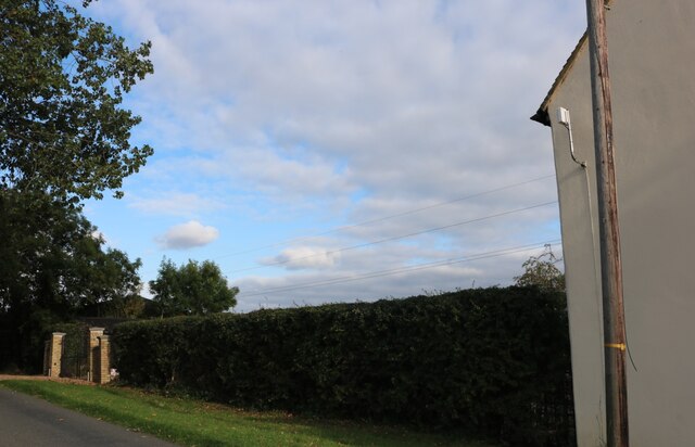
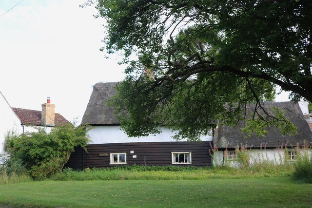
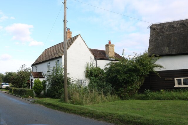
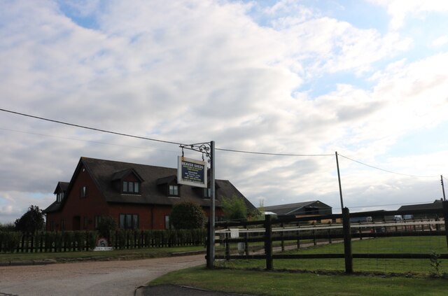
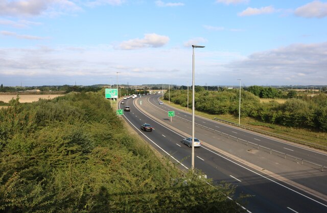
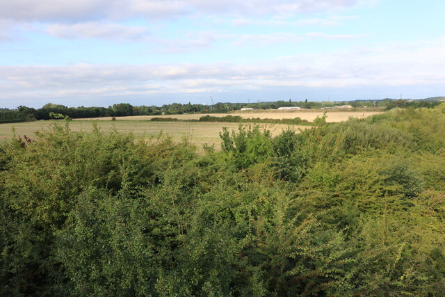
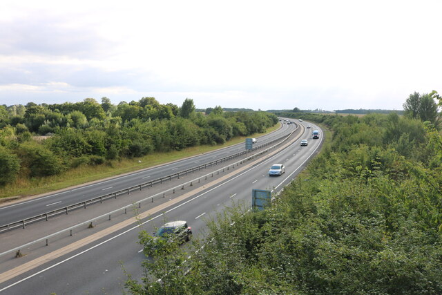
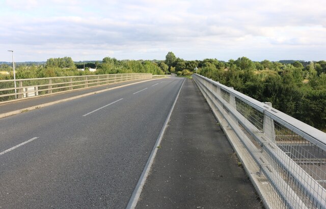
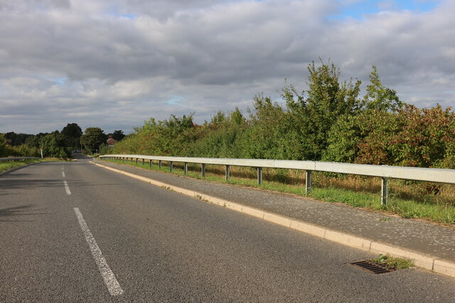
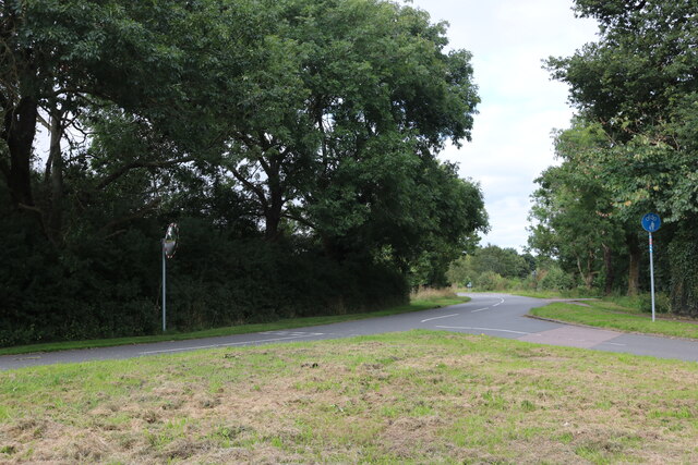
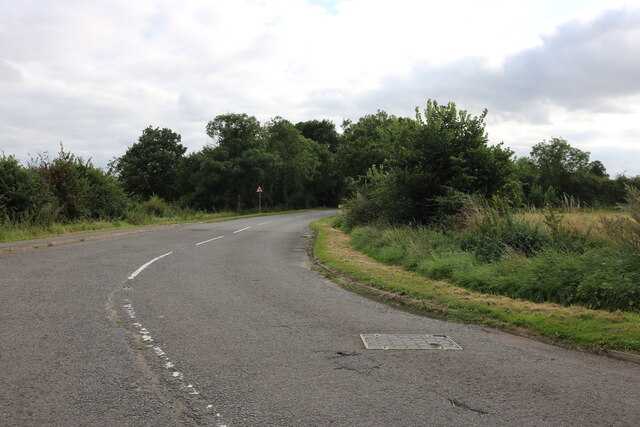
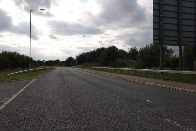
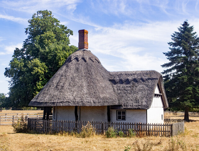
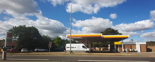
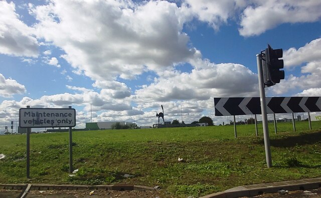
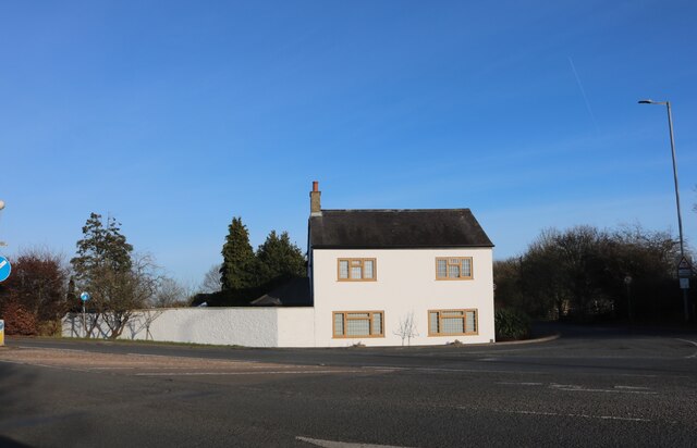
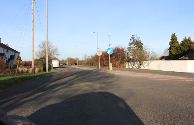
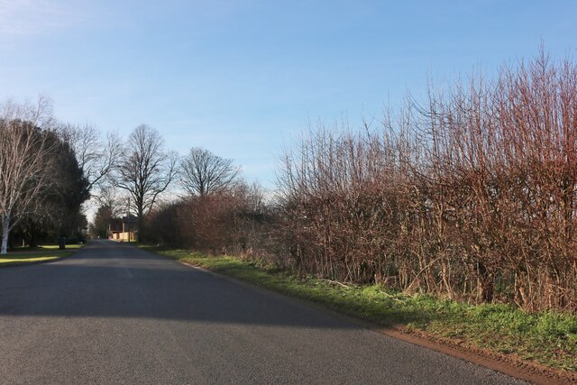
Round Hill Images

Images are sourced within 2km of 52.181446/-0.32278289 or Grid Reference TL1455. Thanks to Geograph Open Source API. All images are credited.

Hedge by Colesden Road
Aubretia Cottage on Colesden Road
Cottages on Colesden Road
Spinney Road, Chawston
The A421, Chawston
The A421, Chawston
Woods by Roxton Road, Chawston
The A421, Chawston
The A421, Chawston
Roxton Road crossing the A421
Roxton Road, Chawston At the end of the A421 bridge
Roxton Road, Chawston
At the end of the A421 bridge
High Street, Roxton
High Street, Roxton
High Street, Roxton
High Street, Roxton
Bedford Road, Roxton Leaving the Black Cat Roundabout
Bedford Road, Roxton
Leaving the Black Cat Roundabout
Roxton : lodge, Roxton Park Grade II listed - <span class="nowrap"><a title="https://historicengland.org.uk/listing/the-list/list-entry/1321206" rel="nofollow ugc noopener" href="https://historicengland.org.uk/listing/the-list/list-entry/1321206">Link</a><img style="margin-left:2px;" alt="External link" title="External link - shift click to open in new window" src="https://s1.geograph.org.uk/img/external.png" width="10" height="10"/></span>.
Roxton : lodge, Roxton Park
Grade II listed - LinkExternal link.
Fuel Filling Station
The Black Cat Roundabout
Little house on Bedford Road, Roxton
Bedford Road, Roxton
Chawston Lane
Chawston Lane
Show me another place!

Round Hill is located at Grid Ref: TL1455 (Lat: 52.181446, Lng: -0.32278289)

Unitary Authority: Bedford

Police Authority: Bedfordshire

What 3 Words

///spurted.rebounds.spotted. Near Roxton, Bedfordshire

Nearby Locations

Round Hill

Related Wikis

Roxton, Bedfordshire

Roxton is a small village and civil parish in the Borough of Bedford, Bedfordshire, England about 7 miles (11 km) north-east of the county town of Bedford...

Wyboston, Chawston and Colesden

Wyboston, Chawston and Colesden is a civil parish located in the Borough of Bedford in Bedfordshire, in England. The parish includes the village of Wyboston...

Black Cat Roundabout

Black Cat Roundabout is on the junction between the A1 and A421 (formerly A428) Bedford road just south of St Neots. It was reconstructed in 2005-6 as...

Chawston

Chawston is a hamlet in the civil parish of Wyboston, Chawston and Colesden, a part of the Borough of Bedford in the county of Bedfordshire, England....

Related Videos

Wing Wing Z-84 - Ivel MAC - 28th May 2020

Maiden flight of my Wing Wing Z-84 today in preparation for our 2020 Club Racing Day.......

Royal Enfield Classic 500 crossing Great Barford Bridge and Tempsford Bridge

"Not in their wildest dreams.” Road history is wasted on most travellers. Few give a second thought to the tarmac beneath their ...

Trainspotting at Tempsford Level Crossing, with incredible some incredible tones! (ECML) 27/07/23

Class 700, 800, 801, and other trains at Tempsford with great tones!

Nearby Amenities

Located within 500m of 52.181446,-0.32278289
Crossing
Bicycle: yes
Crossing: unmarked
Crossing Island: yes
Crossing Markings: no
Tactile Paving: no
Lat/Long: 52.1784757/-0.3199121
Bus Stop
Park Road
Bus: yes
Naptan AtcoCode: 020033105
Naptan Bearing: SW
Naptan CommonName: Park Road
Naptan Indicator: adj
Naptan Landmark: Park Road
Naptan NaptanCode: bfsajtgp
Naptan PlusbusZoneRef: BIGLSWD
Naptan Street: Bedford Road
Public Transport: platform
Shelter: yes
Source: naptan_import
Lat/Long: 52.1781598/-0.320098
Bus Stop
Park Road
Bus: yes
Naptan AtcoCode: 020033104
Naptan Bearing: NE
Naptan CommonName: Park Road
Naptan Indicator: opp
Naptan Landmark: Park Road
Naptan NaptanCode: bfsajtgm
Naptan PlusbusZoneRef: BIGLSWD
Naptan Street: Bedford Road
Public Transport: platform
Shelter: yes
Source: naptan_import
Lat/Long: 52.1782761/-0.3203132
Power: pole
Lat/Long: 52.179455/-0.3225195
Power: pole
Lat/Long: 52.1798776/-0.3243864
Power: pole
Lat/Long: 52.1802674/-0.3260064
Power: pole
Lat/Long: 52.1805635/-0.3272617
Power: pole
Lat/Long: 52.1808792/-0.3286618
Power: pole
Lat/Long: 52.1811621/-0.330078
Roundhill Barrow
Archaeological Site: megalith
Historic: archaeological_site
Historic Civilization: prehistoric
Historic Era: neolithic
Historic Period: stone-age
Megalith Type: round_barrow
Lat/Long: 52.1814424/-0.3212472
The data included in this document is from www.openstreetmap.org. The data is made available under ODbL.

Have you been to Round Hill?

Leave your review of Round Hill below (or comments, questions and feedback).