Bella Hill
Hill, Mountain in Lincolnshire West Lindsey
England
Bella Hill

Bella Hill, located in Lincolnshire, England, is a notable geographical feature known for its mysterious optical illusion. Despite its name, Bella Hill is not actually a hill or mountain but rather a flat stretch of road. The illusion occurs when a vehicle is parked at the bottom of the road, seemingly defying gravity by rolling uphill.
The phenomenon has intrigued locals and visitors alike for many years. When observing the optical illusion, it appears that vehicles effortlessly move uphill, seemingly defying the laws of physics. However, this is merely an illusion due to the surrounding landscape.
The explanation behind Bella Hill's peculiar phenomenon lies in the surrounding topography. The road is situated on a slight incline, but the surrounding land slopes downward, creating an optical illusion that makes it appear as though the road is uphill. Additionally, the area's unique combination of trees and buildings further enhances the illusion, giving the impression of an uphill slope.
Bella Hill has become a popular tourist attraction, drawing visitors from far and wide who are eager to witness the gravity-defying phenomenon firsthand. Many individuals test the illusion by placing their vehicle in neutral, only to be amazed as it seemingly rolls uphill.
While Bella Hill may not be a true hill or mountain, its optical illusion continues to captivate and perplex those who visit, making it a truly fascinating natural curiosity in Lincolnshire.
If you have any feedback on the listing, please let us know in the comments section below.
Bella Hill Images
Images are sourced within 2km of 53.367535/-0.28442001 or Grid Reference TF1487. Thanks to Geograph Open Source API. All images are credited.


Bella Hill is located at Grid Ref: TF1487 (Lat: 53.367535, Lng: -0.28442001)
Administrative County: Lincolnshire
District: West Lindsey
Police Authority: Lincolnshire
What 3 Words
///obvious.otters.attending. Near Market Rasen, Lincolnshire
Nearby Locations
Related Wikis

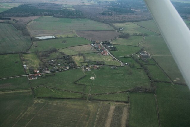
Legsby
Legsby (otherwise Legesby) is a small village and civil parish in the West Lindsey district of Lincolnshire, England. The population of the civil parish...
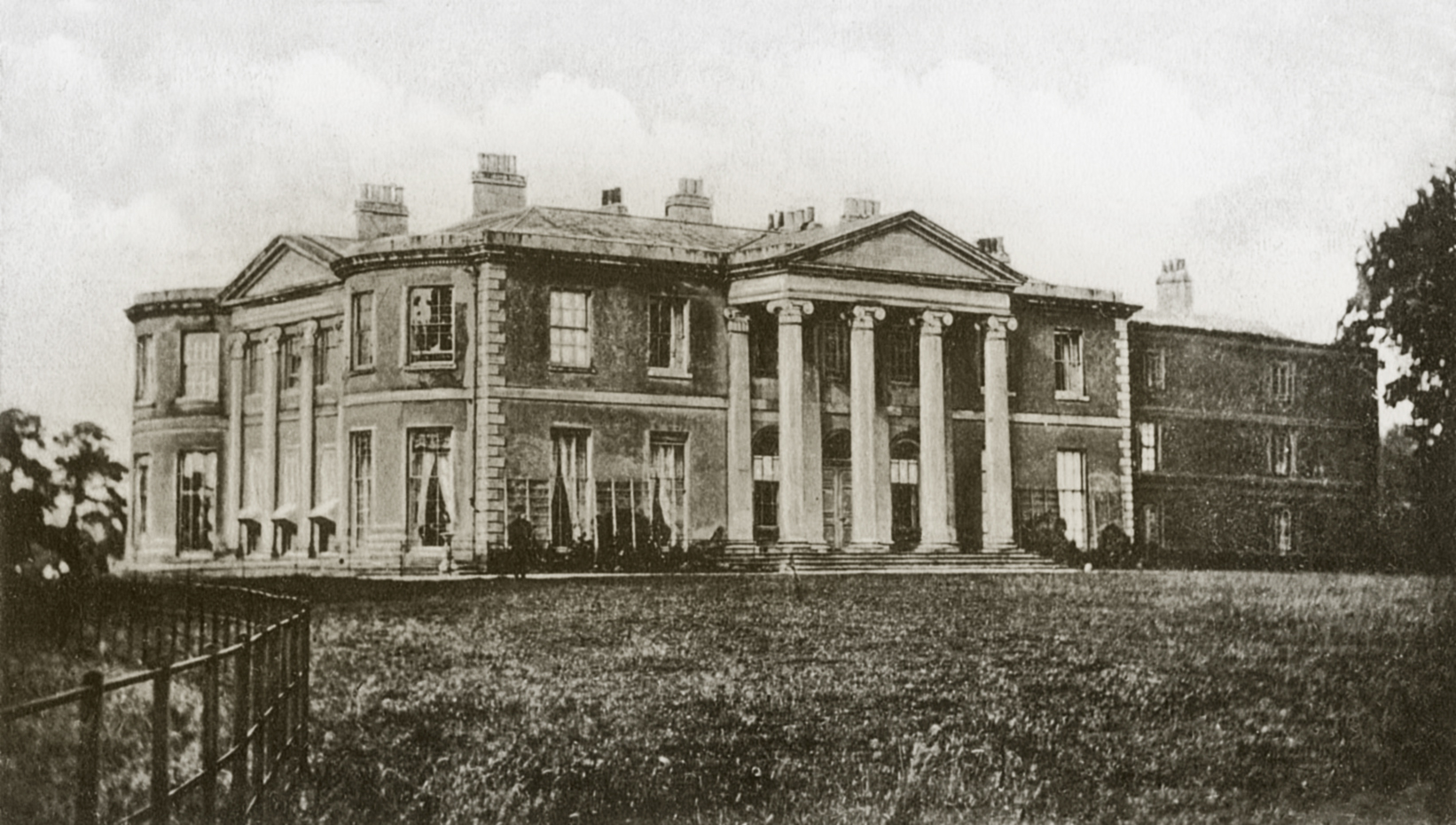
Willingham House
Willingham House was a country house in North Willingham (near Market Rasen), Lincolnshire, England. It was built around 1790 for Ayscoghe Boucherett...

Market Rasen Racecourse
Market Rasen Racecourse is a National Hunt racecourse in the town of Market Rasen, in Lincolnshire, England. It is owned and operated by Jockey Club Racecourses...

North Willingham
North Willingham is a village and civil parish in the West Lindsey district of Lincolnshire, England. The population of the civil parish (including Sixhills...
Sixhills
Sixhills is a village in the West Lindsey district of Lincolnshire, England, about 3 miles (4.8 km) south-east from Market Rasen. It lies just south of...
Linwood, Lincolnshire
Linwood is a small village and civil parish in the West Lindsey district of Lincolnshire, England, on the minor B1202 road about 2 miles (3 km) south from...

De Aston School
De Aston School is a mixed secondary school with academy status in Market Rasen, Lincolnshire, England. It also has a sixth form but no longer has a boarding...

Market Rasen railway station
Market Rasen railway station serves the market town of Market Rasen in Lincolnshire, England. == History == It was built by the Great Grimsby and Sheffield...
Nearby Amenities
Located within 500m of 53.367535,-0.28442001Have you been to Bella Hill?
Leave your review of Bella Hill below (or comments, questions and feedback).