Deacon Hill
Hill, Mountain in Bedfordshire
England
Deacon Hill
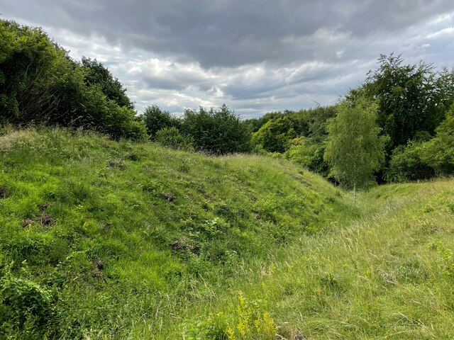
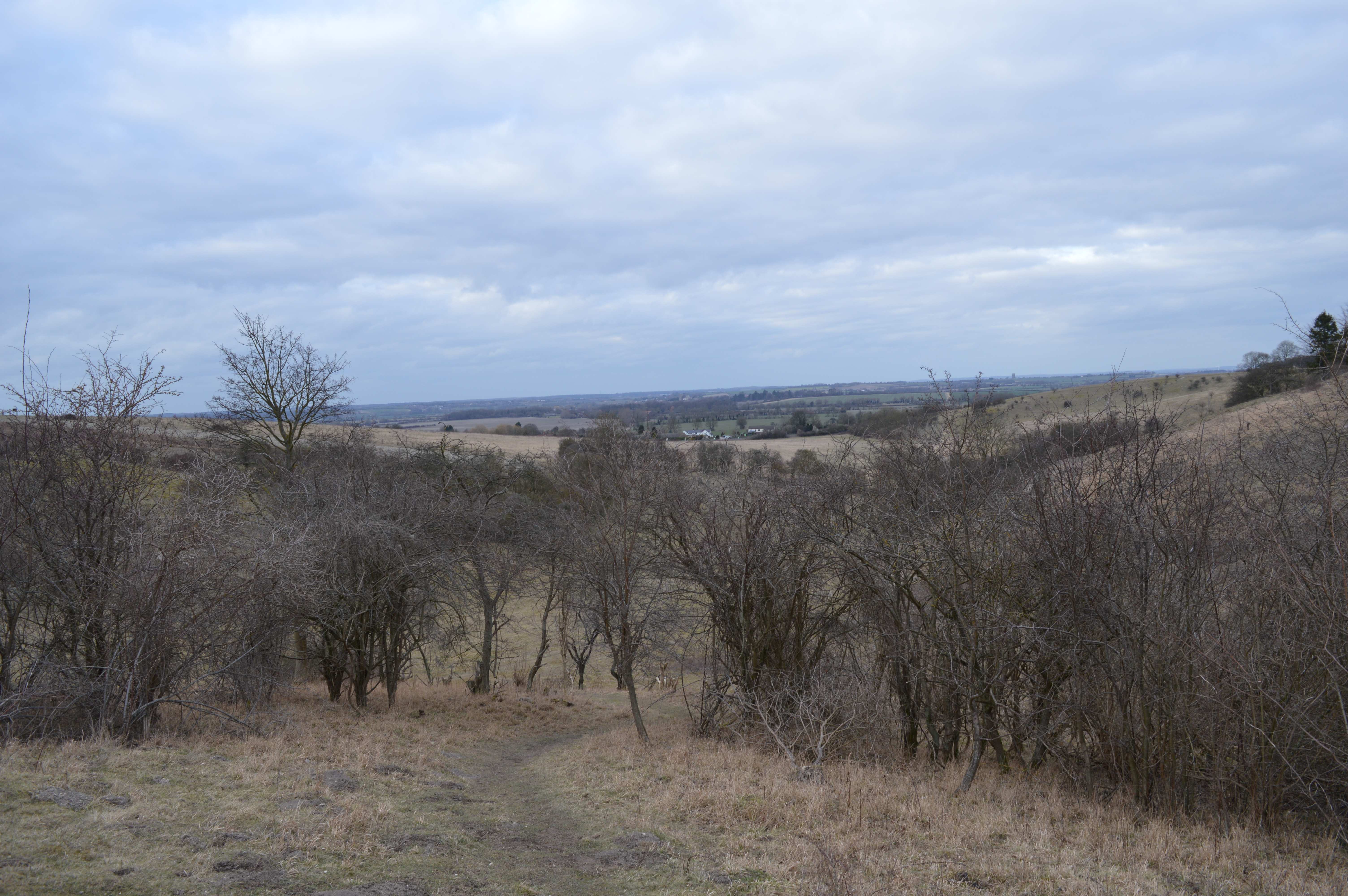
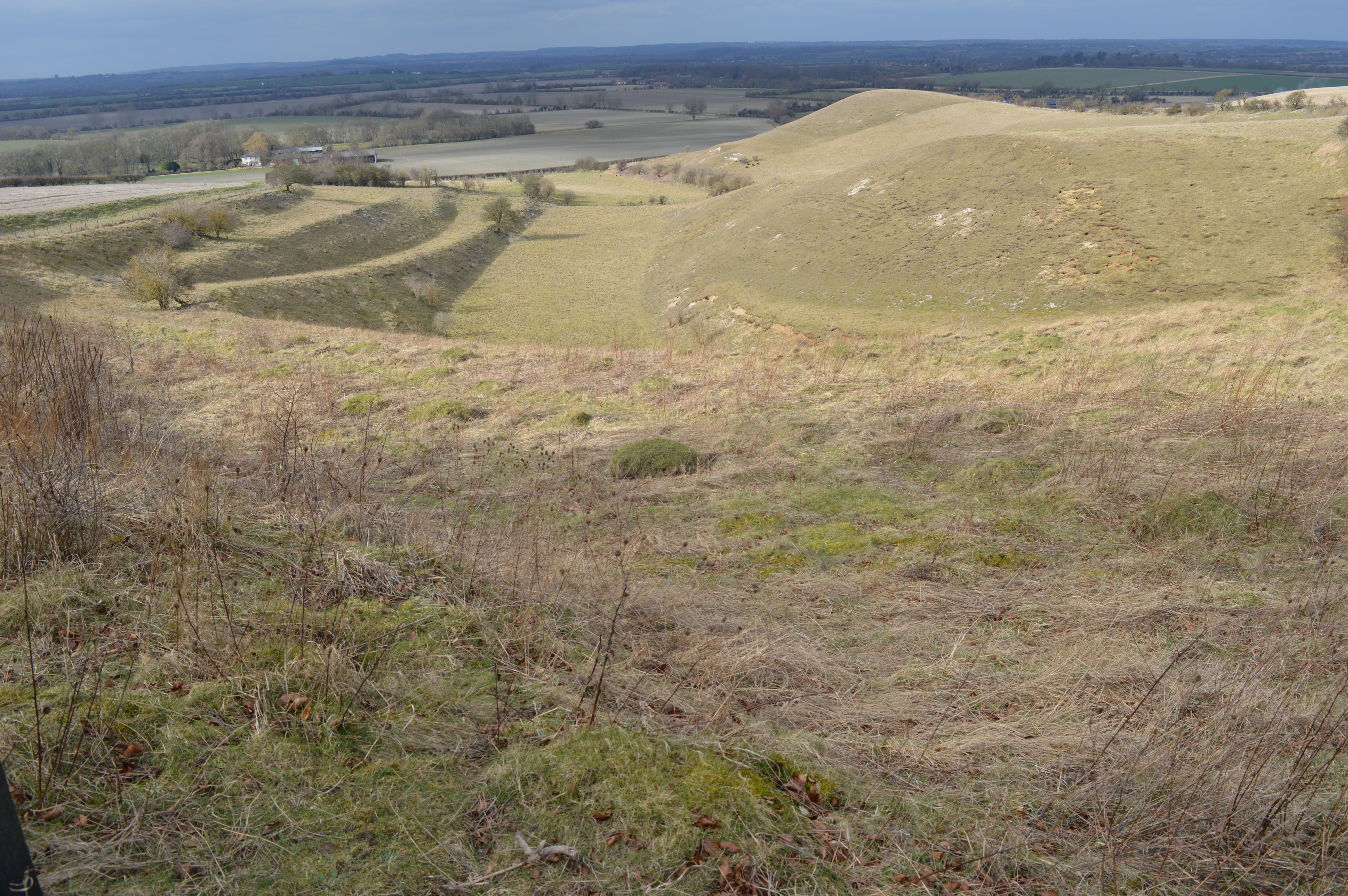
Deacon Hill is a prominent geographical feature located in the county of Bedfordshire, England. It is classified as a hill, rather than a mountain, due to its relatively modest elevation. Rising to a height of approximately 230 meters (750 feet), Deacon Hill offers breathtaking panoramic views of the surrounding landscape.
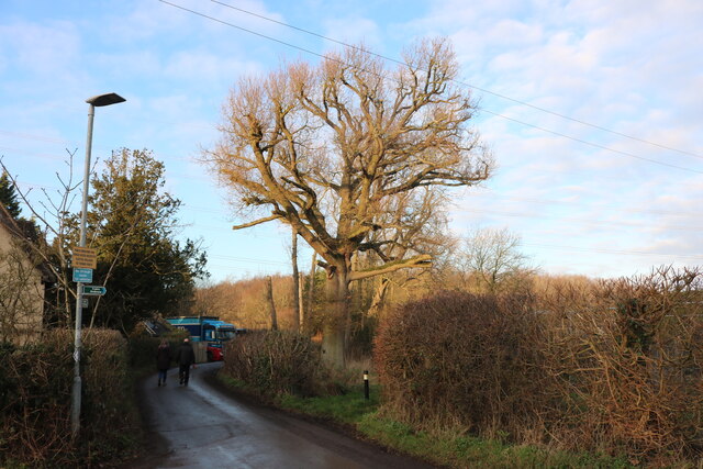
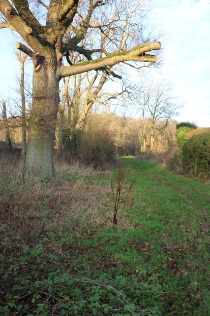
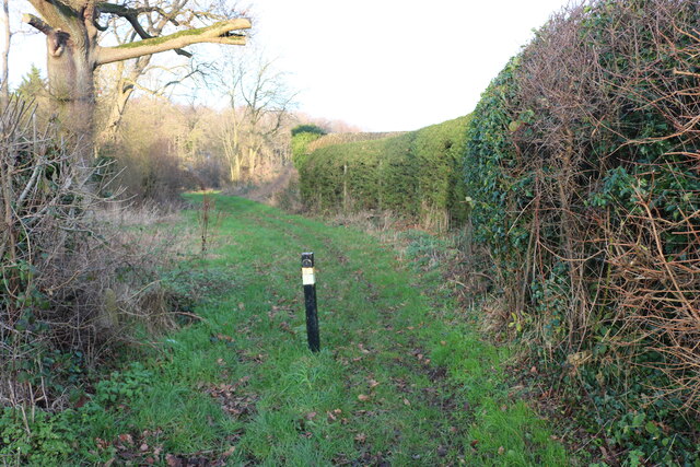
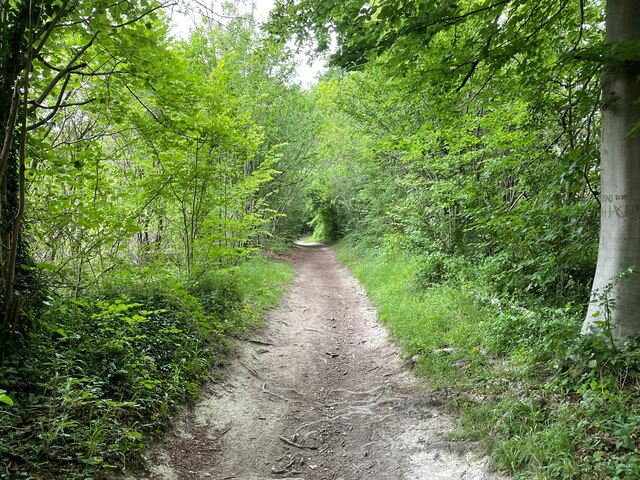
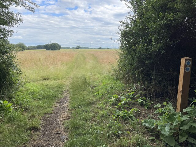
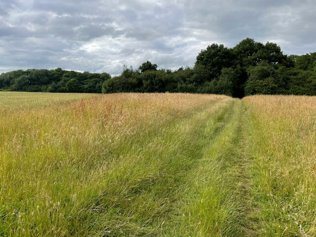
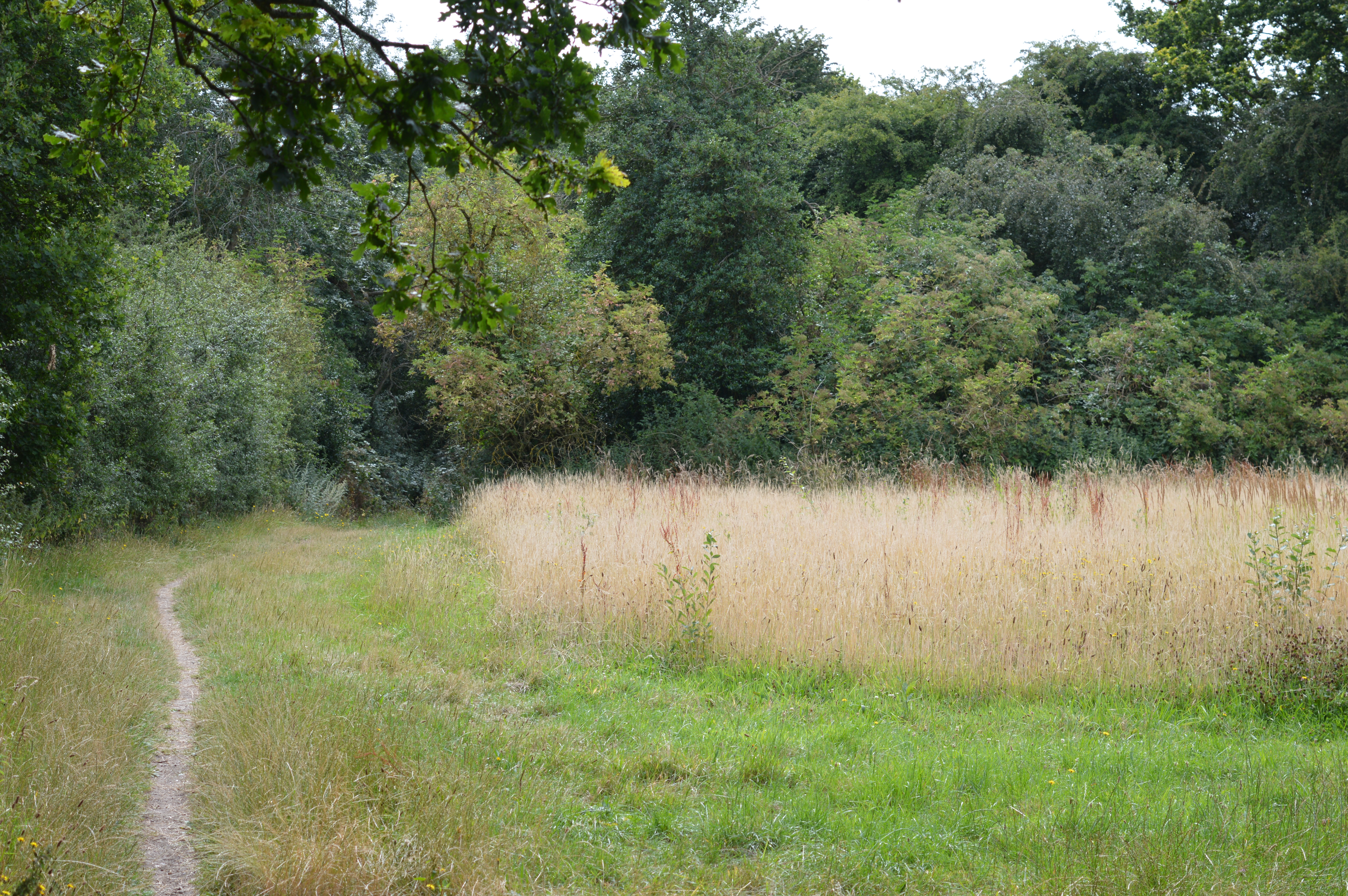
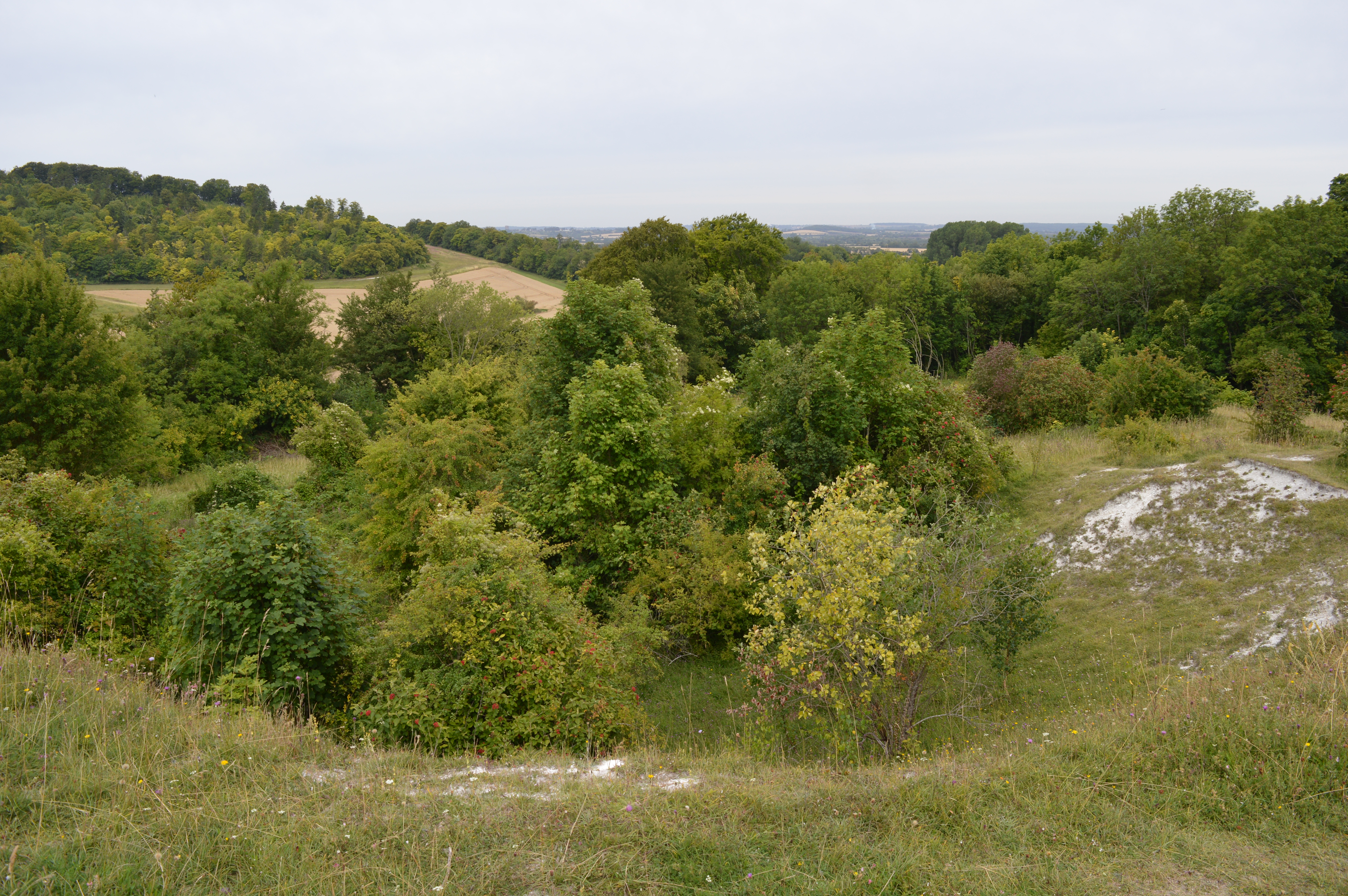
Situated near the village of Shillington, Deacon Hill is a popular destination for outdoor enthusiasts and nature lovers. The hill is characterized by its gentle slopes and lush greenery, making it an ideal spot for hiking, walking, and picnicking. The well-maintained trails that wind their way up the hill provide visitors with the opportunity to explore its diverse flora and fauna.
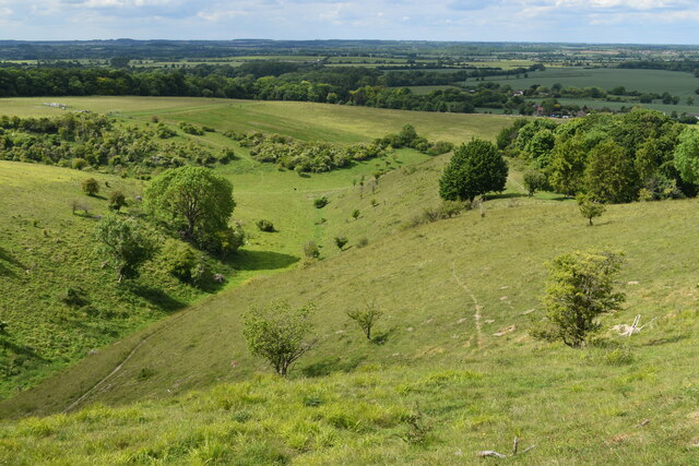
At the summit of Deacon Hill, visitors are rewarded with stunning vistas that stretch for miles in every direction. On clear days, it is possible to see the nearby towns and villages of Bedfordshire, as well as the sprawling countryside beyond. The hill's strategic location also offers a commanding view of the surrounding farmland, with its patchwork of fields and hedgerows.
Deacon Hill has a rich history and is believed to have been inhabited since ancient times. Archaeological finds in the area suggest that it may have been used for ceremonial purposes by early settlers. Today, the hill remains an important historical and cultural landmark, attracting visitors from near and far who come to appreciate its natural beauty and tranquility.
If you have any feedback on the listing, please let us know in the comments section below.
Deacon Hill Images
Images are sourced within 2km of 51.954601/-0.36384477 or Grid Reference TL1229. Thanks to Geograph Open Source API. All images are credited.


Deacon Hill is located at Grid Ref: TL1229 (Lat: 51.954601, Lng: -0.36384477)
Unitary Authority: Central Bedfordshire
Police Authority: Bedfordshire
What 3 Words
///intruders.tests.bronzes. Near Pirton, Hertfordshire
Nearby Locations
Related Wikis
Deacon Hill SSSI
Deacon Hill SSSI is a 35.4-hectare (87-acre) biological Site of Special Scientific Interest in Pegsdon in Bedfordshire. It is in the Chilterns Area of...

Pegsdon Hills and Hoo Bit
Pegsdon Hills and Hoo Bit is a 79-hectare (200-acre) nature reserve in Pegsdon in Bedfordshire. It is managed by the Wildlife Trust for Bedfordshire, Cambridgeshire...
Knocking Hoe
Knocking Hoe is a 7.7 hectare National Nature Reserve and biological Site of Special Scientific Interest near Pegsdon in Bedfordshire. It is mentioned...
Telegraph Hill, Hertfordshire
Telegraph Hill is a nature reserve near Lilley in north Hertfordshire. It is in the Chilterns Area of Outstanding Natural Beauty (AONB). According to...

Pegsdon
Pegsdon is a hamlet located in the Central Bedfordshire district of Bedfordshire, England. It is part of the Shillington civil parish, and is almost encircled...

Hitchin Yeshiva
Yeshivas Toras Chessed is a Jewish yeshiva, or rabbinical school. Its curriculum focuses on Torah study, emphasizing the study of Talmud and Jewish law...
Shillington Hoard
The Shillington Hoard is a Roman coin hoard found in Shillington, Bedfordshire in 1998. It consisted of 127 gold aurei, the latest of which was from 79...
Hexton Chalk Pit
Hexton Chalk Pit is a 1.9-hectare (4.7-acre) nature reserve in Hexton in North Hertfordshire, managed by the Herts and Middlesex Wildlife Trust. It is...
Nearby Amenities
Located within 500m of 51.954601,-0.36384477Have you been to Deacon Hill?
Leave your review of Deacon Hill below (or comments, questions and feedback).